Timeline
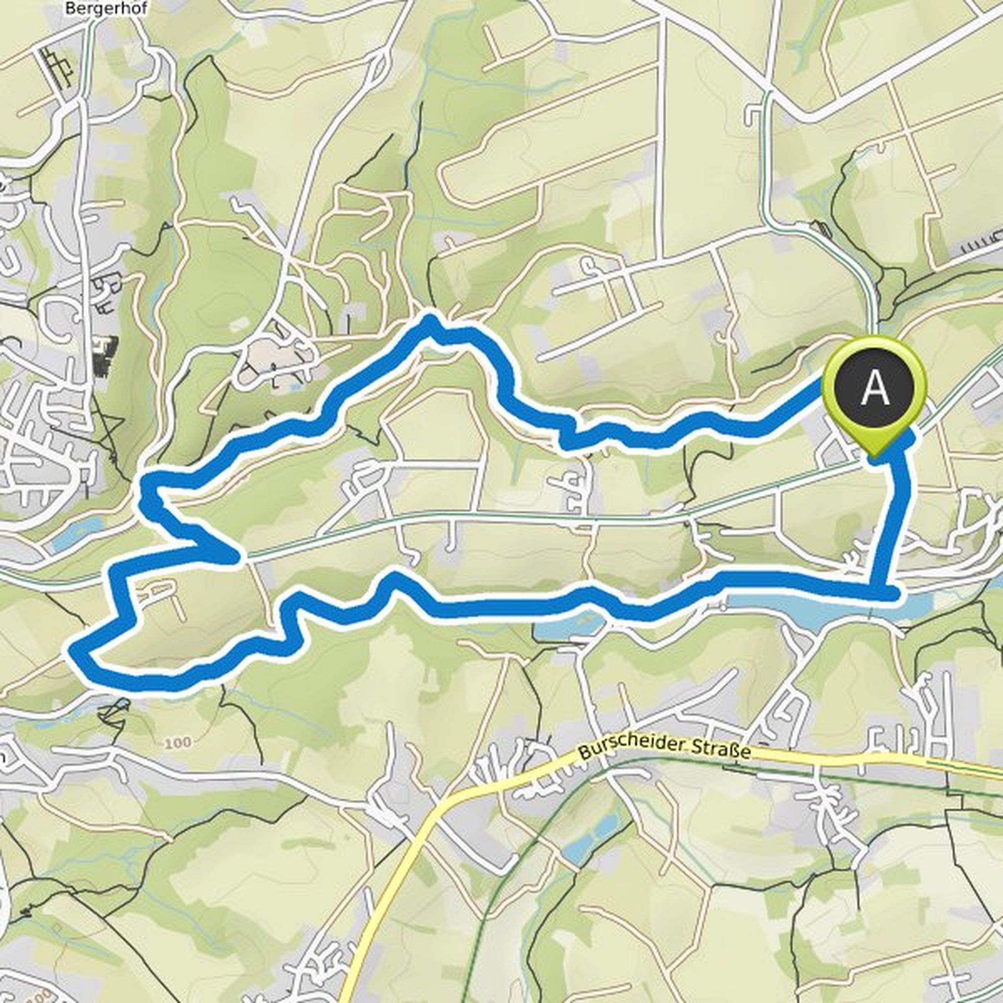
Lorenz planned a hike
November 15, 2020
Time
Distance
Speed
Ascent
Descent
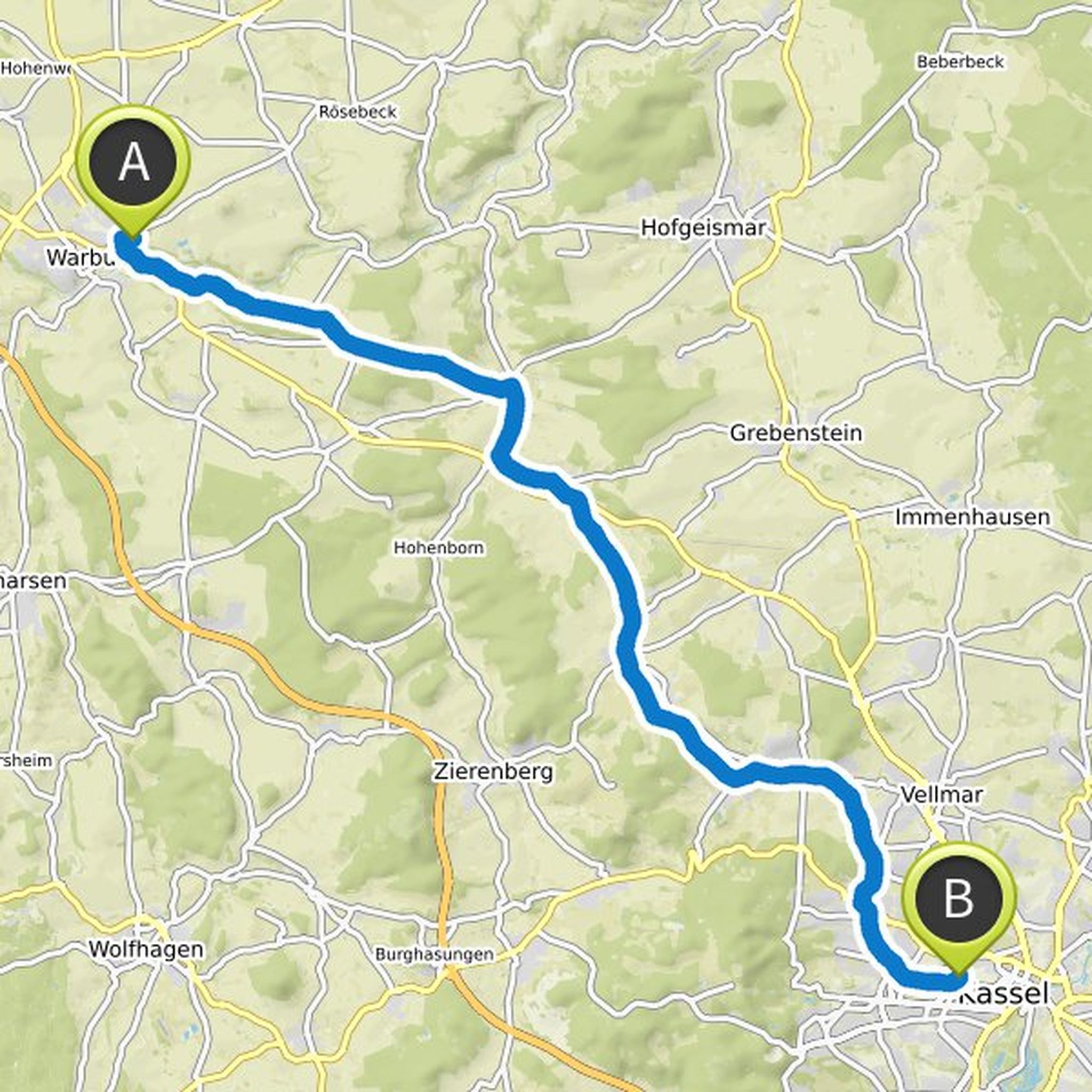
Lorenz planned a bike ride
October 21, 2020
Time
Distance
Speed
Ascent
Descent
Time
Distance
Speed
Ascent
Descent
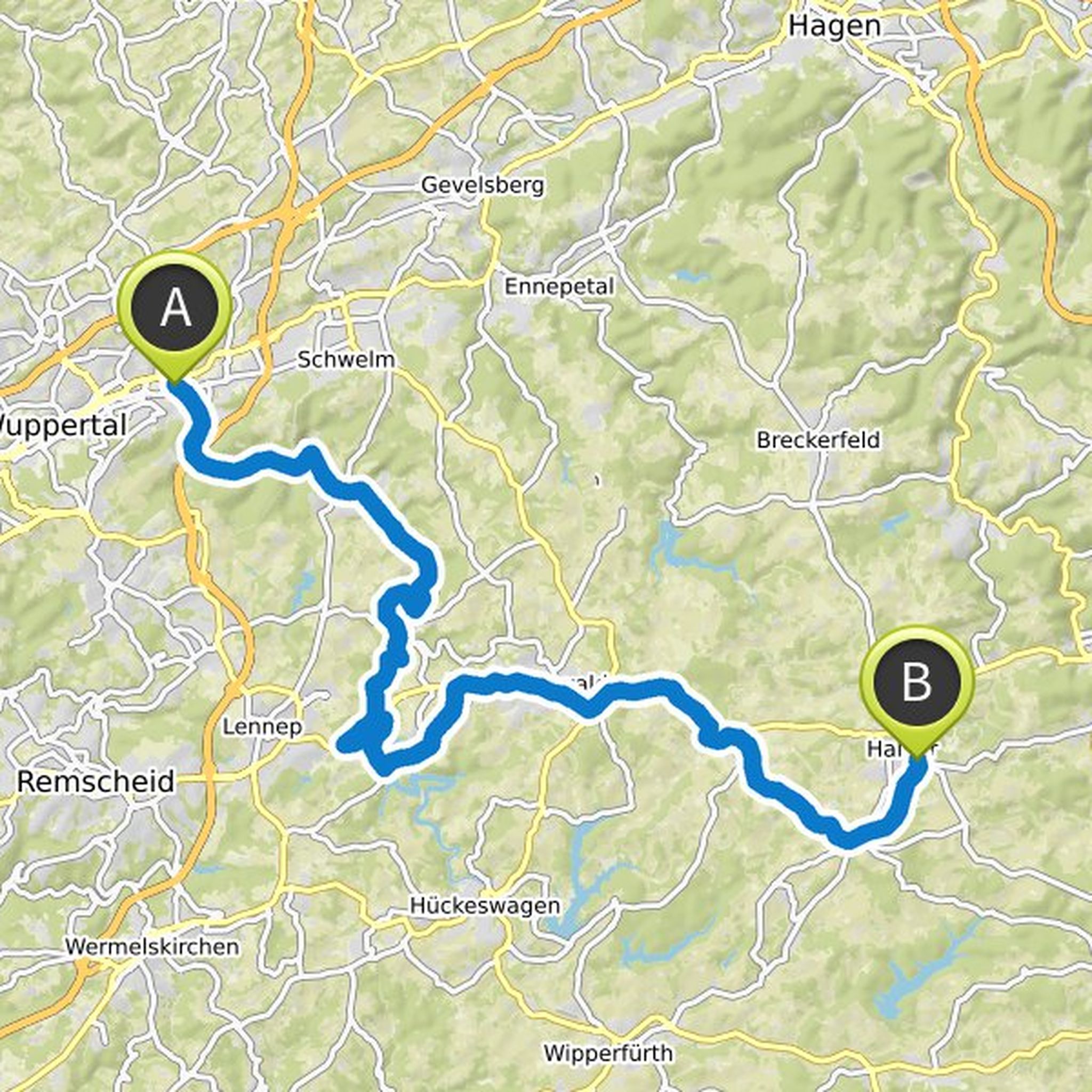
Lorenz and Arian Gaubig planned a bike ride
June 20, 2020
Time
Distance
Speed
Ascent
Descent
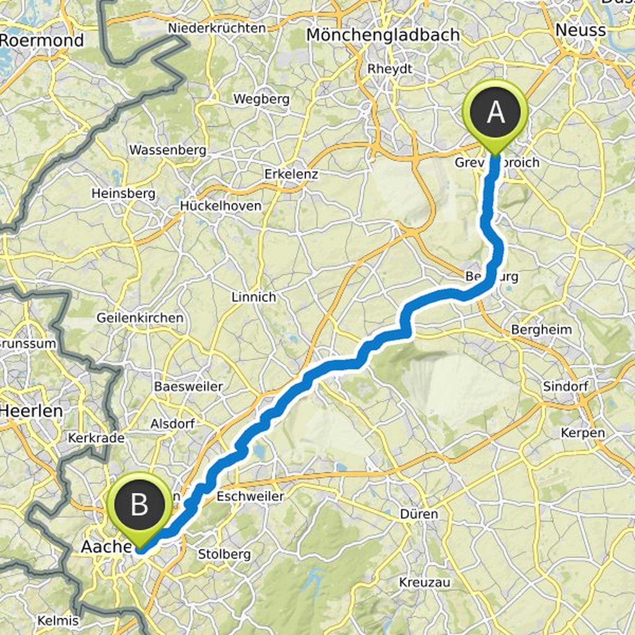
Lorenz and Arian Gaubig planned a bike ride
June 19, 2020
Time
Distance
Speed
Ascent
Descent
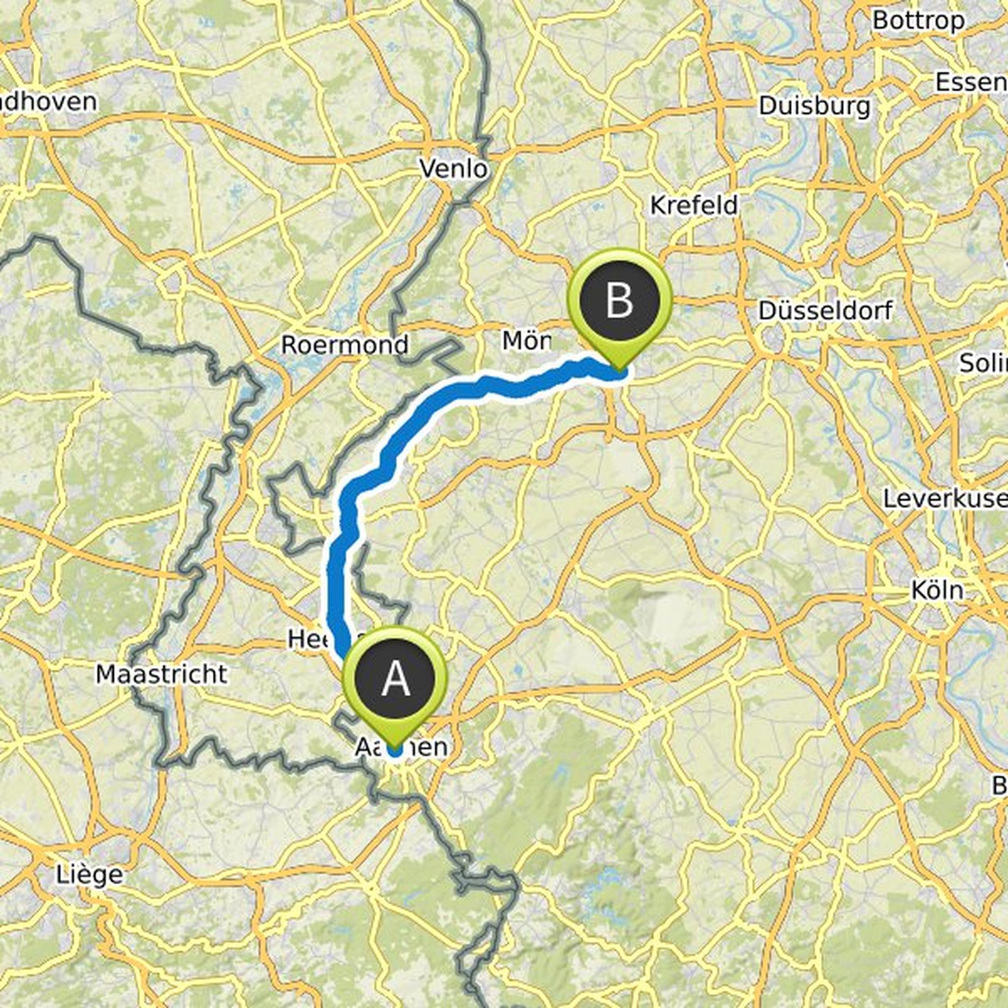
Lorenz planned a bike ride
May 10, 2020
Time
Distance
Speed
Ascent
Descent
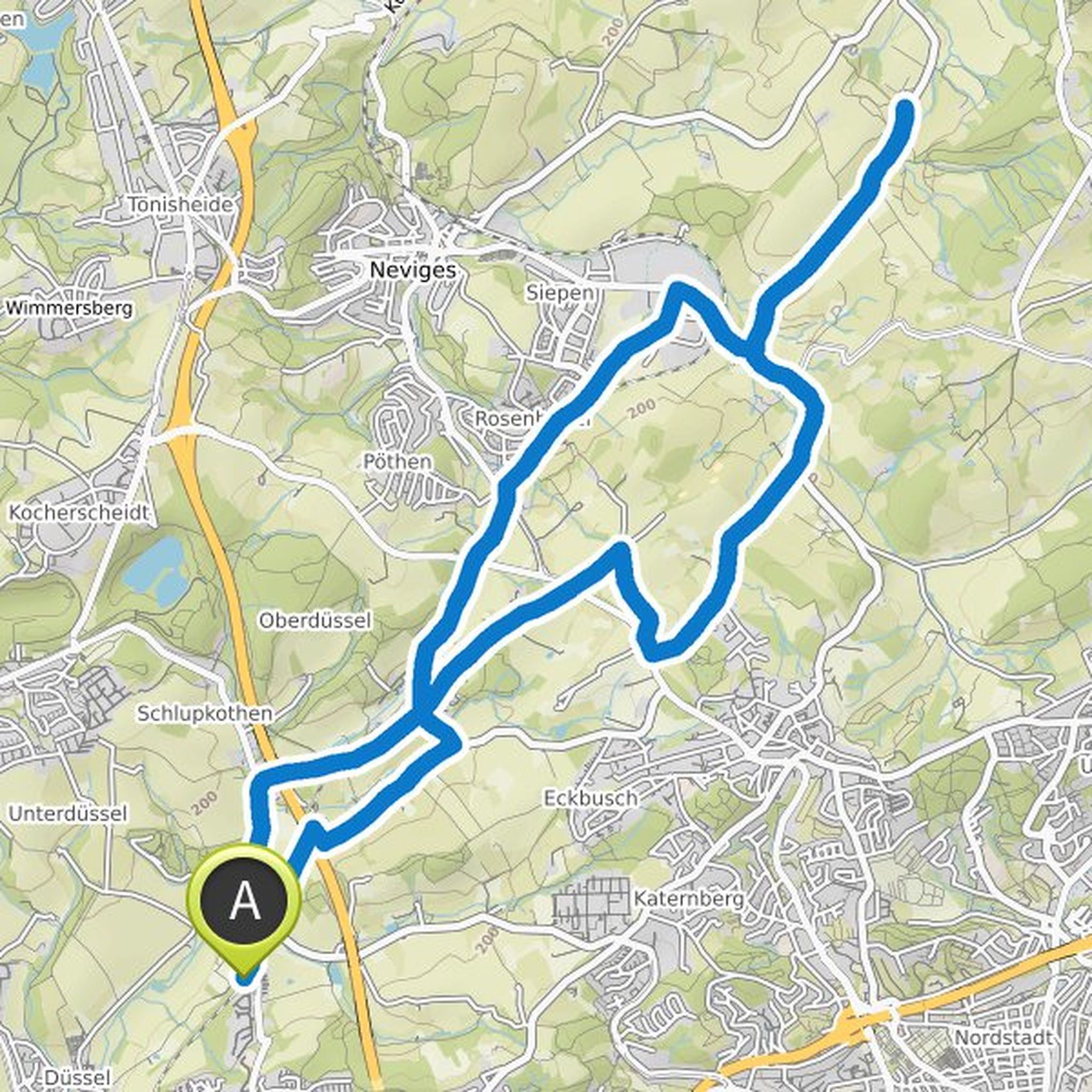
Lorenz planned a bike ride
May 10, 2020
Time
Distance
Speed
Ascent
Descent
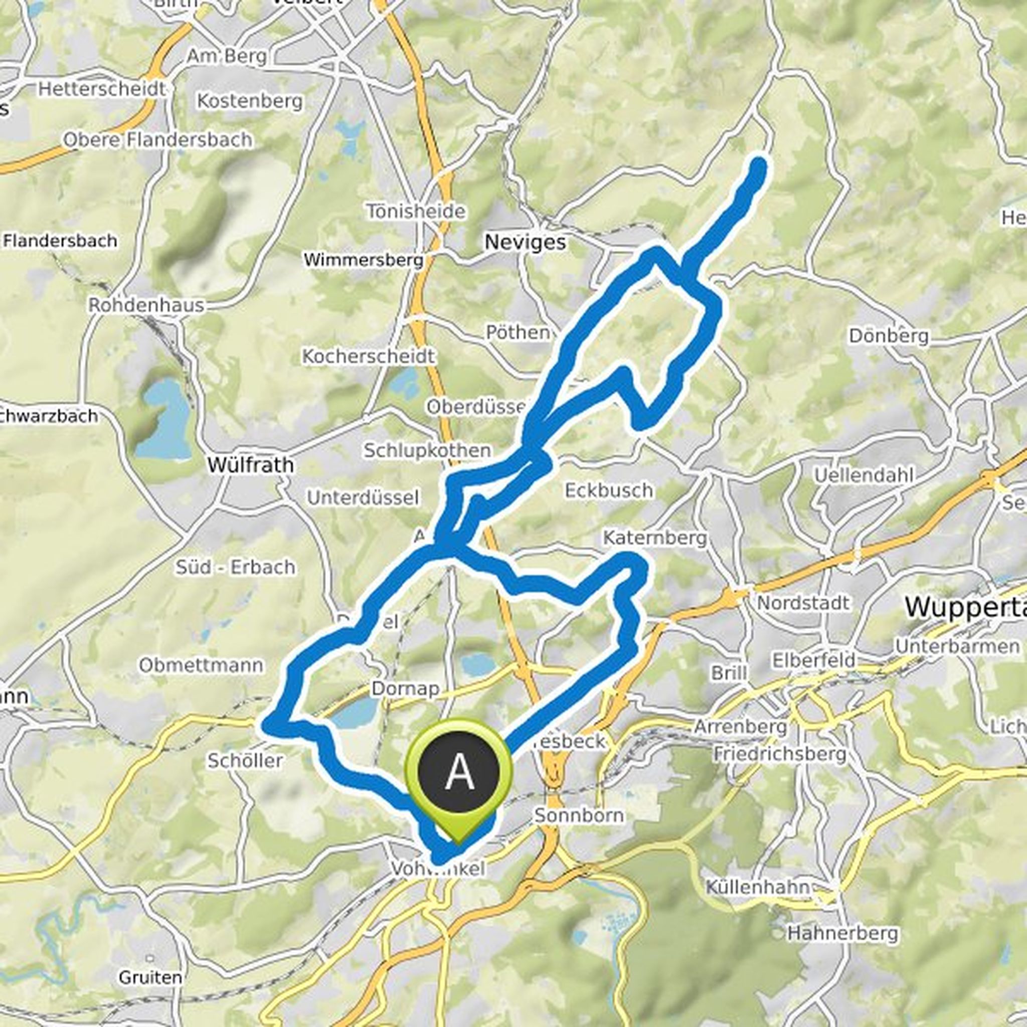
May 10, 2020
Sparkasse tour in cooperation with the ADFC to the organic farm in the Windrather Valley:
From the Vohwinkel station meeting point on the P&R square at the exit of the tunnel to the tracks) we curl up a little on the Nordbahntrasse. Then it goes through the beek up to the birch height, a bit difficult
Translated by Google •
Arian Gaubig and Lorenz planned a hike
January 1, 2020
Time
Distance
Speed
Ascent
Descent
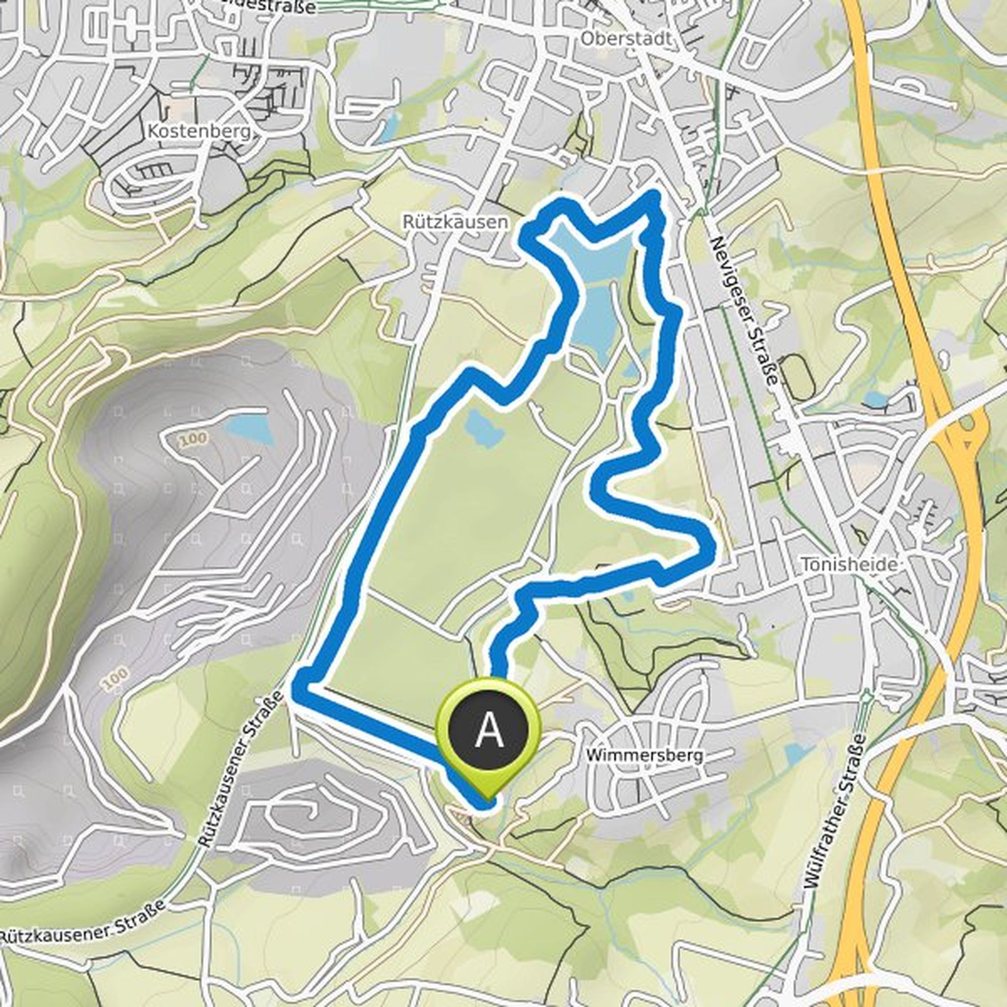
Lorenz likes this.
May 10, 2020
The easier version of the tour than from Vohwinkel station. Here you save the slope in the Beek. Take the S 9 to Aprath station, we will collect the participants on our journey here. From here to the organic farm there are about 10 km with about 10 km in each direction. This is also suitable for less experienced cyclists.
Translated by Google •