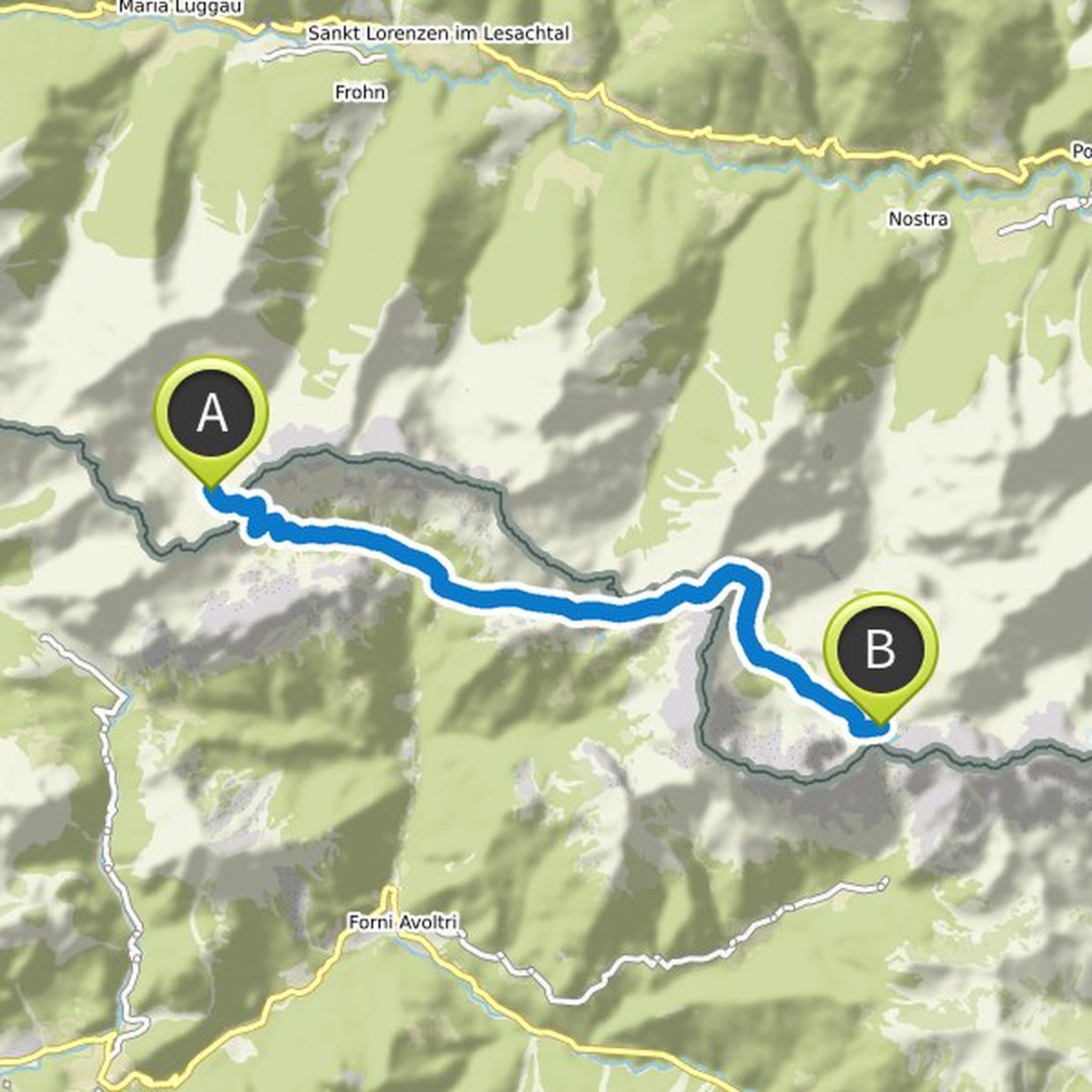
Timeline
Time
4h42m
Distance
8.54km
Speed
1.8km/h
Ascent
780m
Descent
790m

Map data © OpenStreetMap contributors
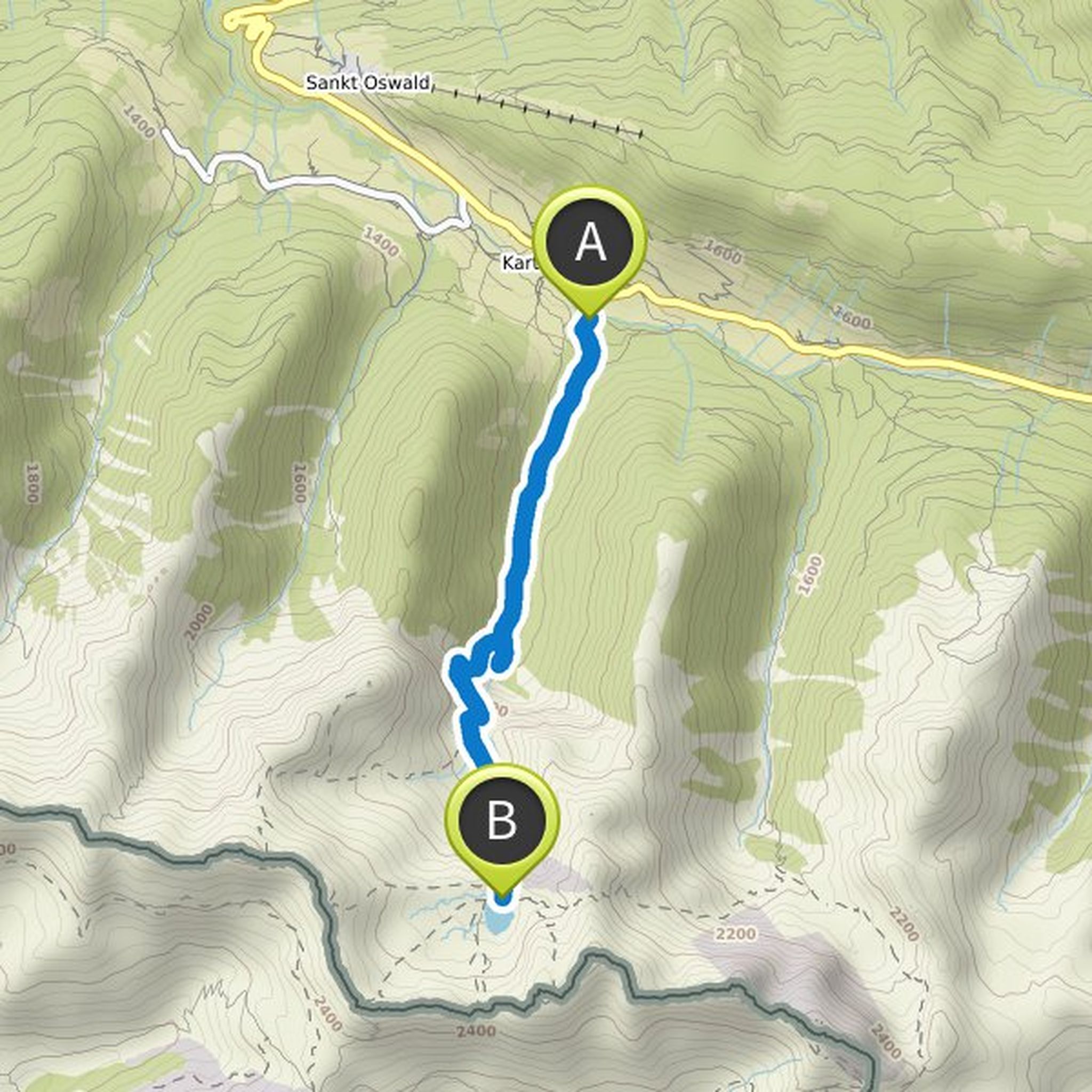
Time
4h06m
Distance
10.7km
Speed
2.6km/h
Ascent
760m
Descent
760m

Map data © OpenStreetMap contributors
Toni planned a hike
April 25, 2020
Time
5h49m
Distance
19.1km
Speed
3.3km/h
Ascent
630m
Descent
630m

Map data © OpenStreetMap contributors
Toni planned a bike ride
March 25, 2020
Time
2h39m
Distance
37.0km
Speed
13.9km/h
Ascent
170m
Descent
170m

Map data © OpenStreetMap contributors
Time
7h26m
Distance
18.3km
Speed
2.5km/h
Ascent
1,390m
Descent
850m

Map data © OpenStreetMap contributors
Time
6h02m
Distance
14.5km
Speed
2.4km/h
Ascent
920m
Descent
830m
Map data © OpenStreetMap contributors
Time
2h38m
Distance
6.43km
Speed
2.4km/h
Ascent
160m
Descent
550m

Map data © OpenStreetMap contributors
Time
4h06m
Distance
13.5km
Speed
3.3km/h
Ascent
30m
Descent
1,100m

Map data © OpenStreetMap contributors
Time
2h23m
Distance
5.30km
Speed
2.2km/h
Ascent
350m
Descent
300m

Map data © OpenStreetMap contributors
Time
7h49m
Distance
17.2km
Speed
2.2km/h
Ascent
840m
Descent
920m

Map data © OpenStreetMap contributors
Time
3h20m
Distance
6.55km
Speed
2.0km/h
Ascent
930m
Descent
10m
Map data © OpenStreetMap contributors
Time
2h48m
Distance
6.35km
Speed
2.3km/h
Ascent
170m
Descent
920m

Map data © OpenStreetMap contributors
Time
2h25m
Distance
8.06km
Speed
3.3km/h
Ascent
240m
Descent
240m

Map data © OpenStreetMap contributors
Time
5h25m
Distance
17.6km
Speed
3.3km/h
Ascent
610m
Descent
590m

Map data © OpenStreetMap contributors
Toni planned a hike
August 23, 2019
Time
3h40m
Distance
13.8km
Speed
3.8km/h
Ascent
140m
Descent
150m

Map data © OpenStreetMap contributors
August 2, 2020
Very difficult hike with uninsured parts on the Großer Bösenstein, lots of alpine experience necessary. It is a black path.
Translated by Google •