Timeline
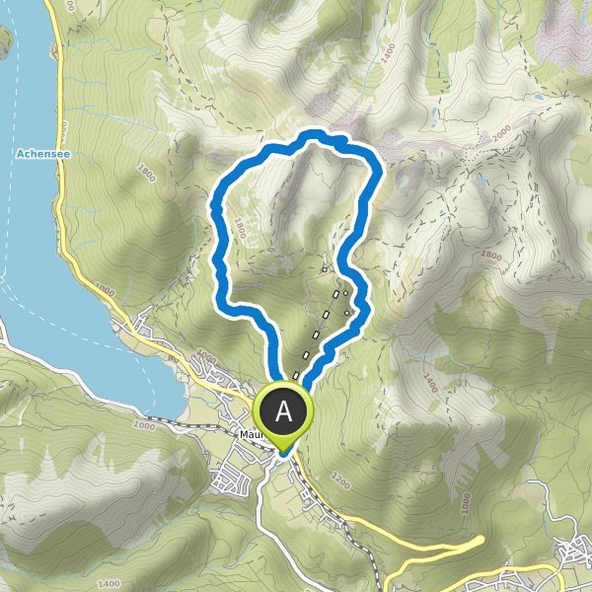
Matthias Trümper planned a hike
June 20, 2022
Time
Distance
Speed
Ascent
Descent
Matthias Trümper planned a hike
January 1, 2022
Time
Distance
Speed
Ascent
Descent

Matthias Trümper planned a hike
January 1, 2022
Time
Distance
Speed
Ascent
Descent

Matthias Trümper planned a hike
January 1, 2022
Time
Distance
Speed
Ascent
Descent

Matthias Trümper planned a hike
January 1, 2022
Time
Distance
Speed
Ascent
Descent

Matthias Trümper planned a hike
January 1, 2022
Time
Distance
Speed
Ascent
Descent

Matthias Trümper planned a hike
January 1, 2022
Time
Distance
Speed
Ascent
Descent

Matthias Trümper planned a hike
January 1, 2022
Time
Distance
Speed
Ascent
Descent

Matthias Trümper planned a hike
January 1, 2022
Time
Distance
Speed
Ascent
Descent

Matthias Trümper planned a hike
January 1, 2022
Time
Distance
Speed
Ascent
Descent
Matthias Trümper planned a hike
January 1, 2022
Time
Distance
Speed
Ascent
Descent

Matthias Trümper planned a hike
December 28, 2021
Time
Distance
Speed
Ascent
Descent

Matthias Trümper planned a hike
January 3, 2018
Time
Distance
Speed
Ascent
Descent

Matthias Trümper planned a hike
August 27, 2017
Time
Distance
Speed
Ascent
Descent

Matthias Trümper planned a hike
August 27, 2017
Time
Distance
Speed
Ascent
Descent
