Timeline
Jochen Kaspar planned an adventure
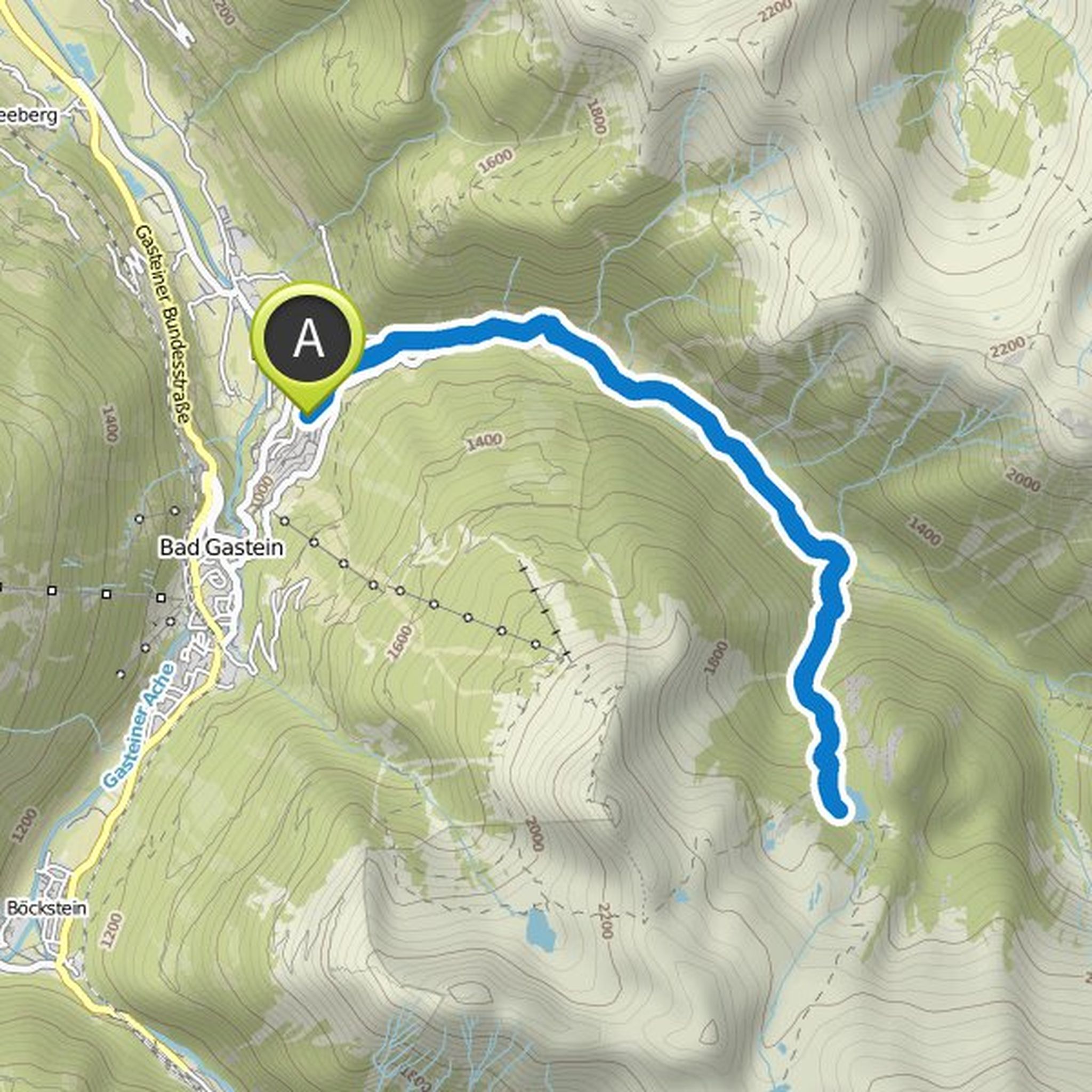
August 28, 2022
Time
Distance
Speed
Ascent
Descent
Jochen Kaspar planned a hike
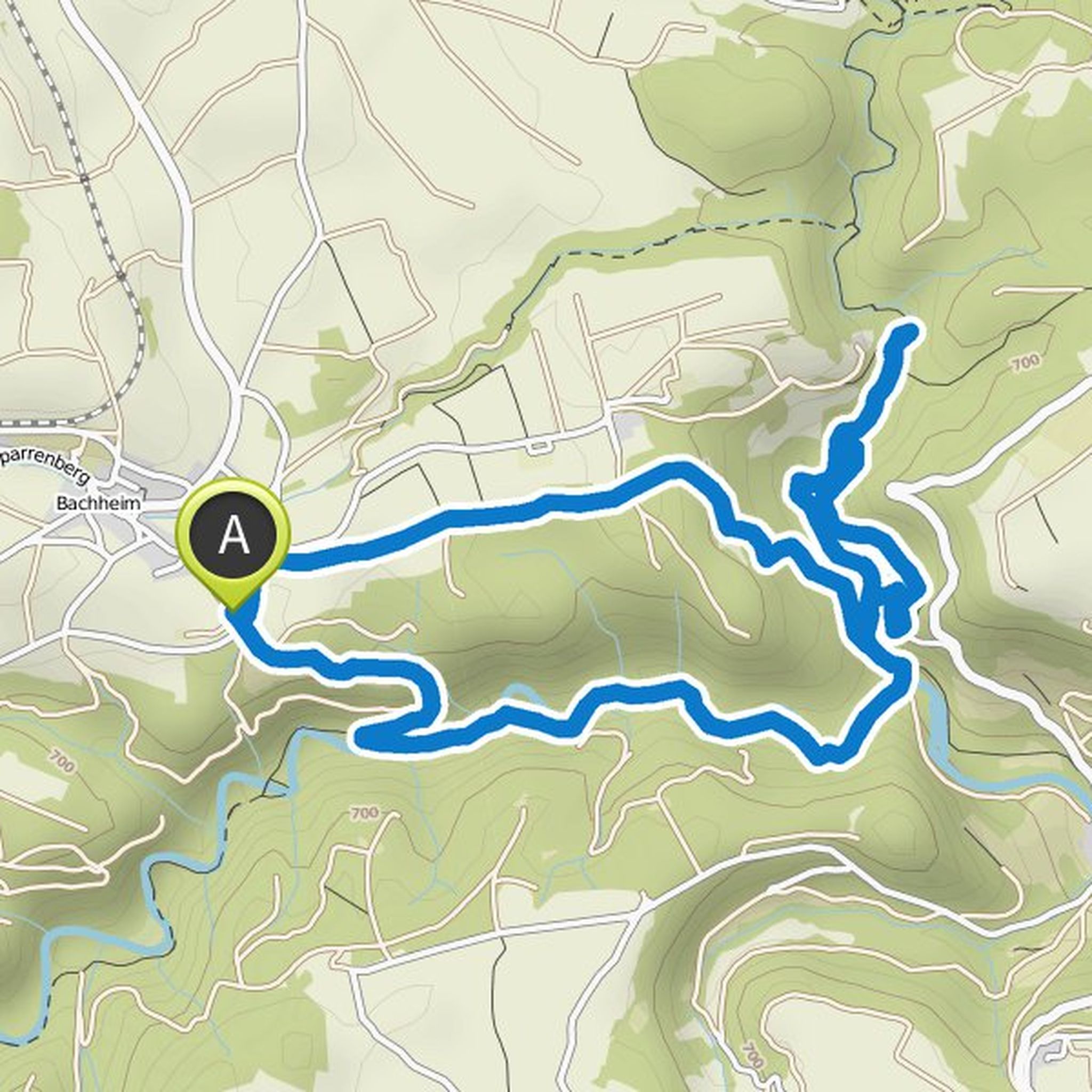
August 6, 2020
Time
Distance
Speed
Ascent
Descent
Jochen Kaspar likes this.
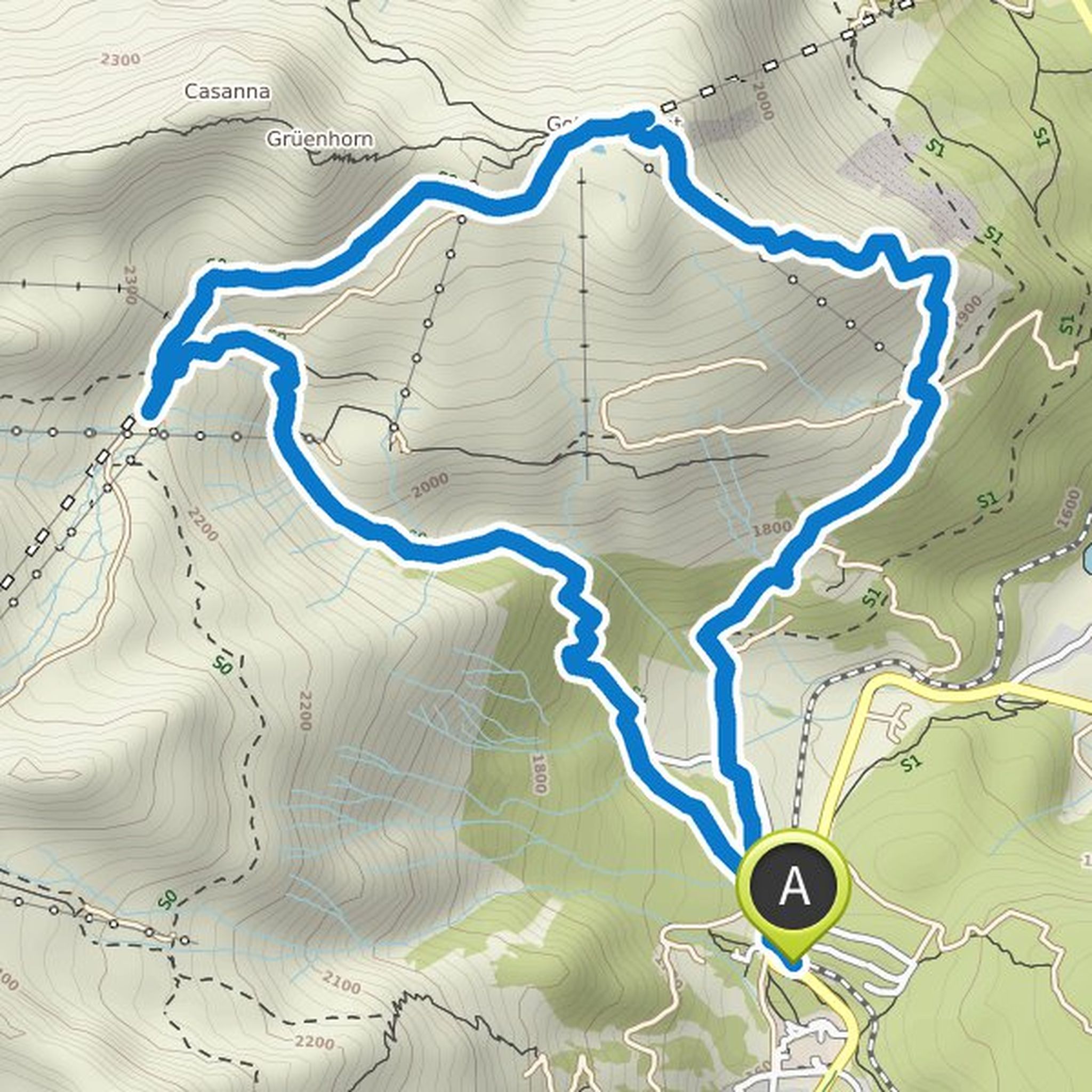
Jochen Kaspar planned a hike
August 6, 2020
Time
Distance
Speed
Ascent
Descent
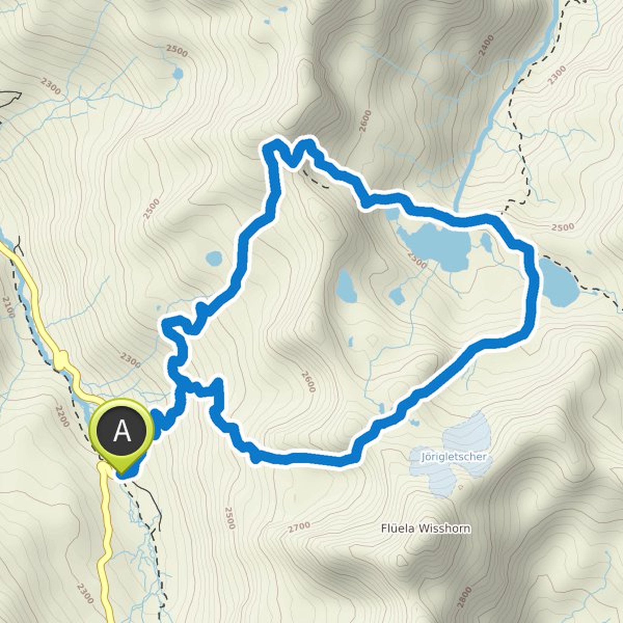
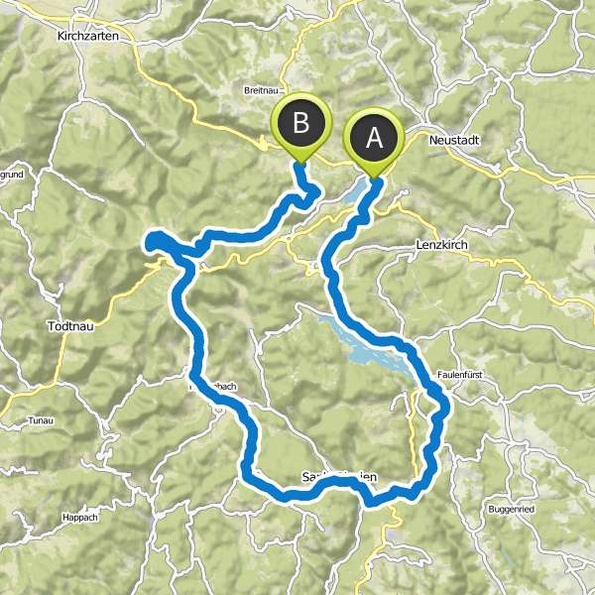
Jochen Kaspar planned a hike
September 9, 2018
Time
Distance
Speed
Ascent
Descent
Jochen Kaspar planned a hike
August 28, 2018
Time
Distance
Speed
Ascent
Descent
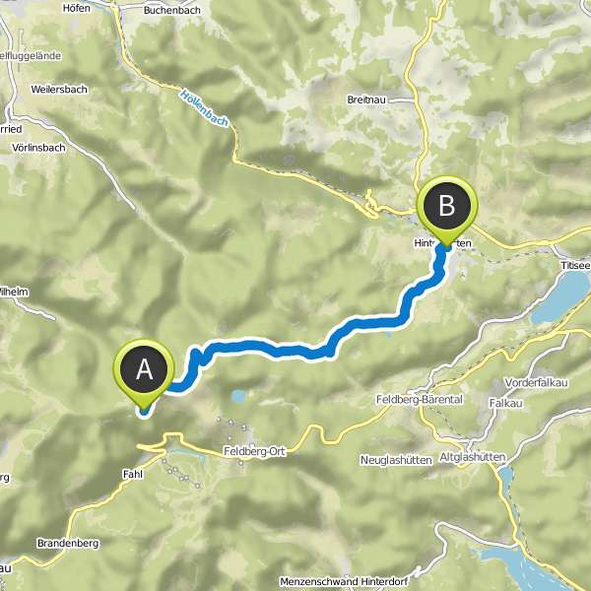
Jochen Kaspar planned a hike
August 27, 2018
Time
Distance
Speed
Ascent
Descent
Jochen Kaspar and Markus Esterle planned a hike
May 26, 2018
Time
Distance
Speed
Ascent
Descent
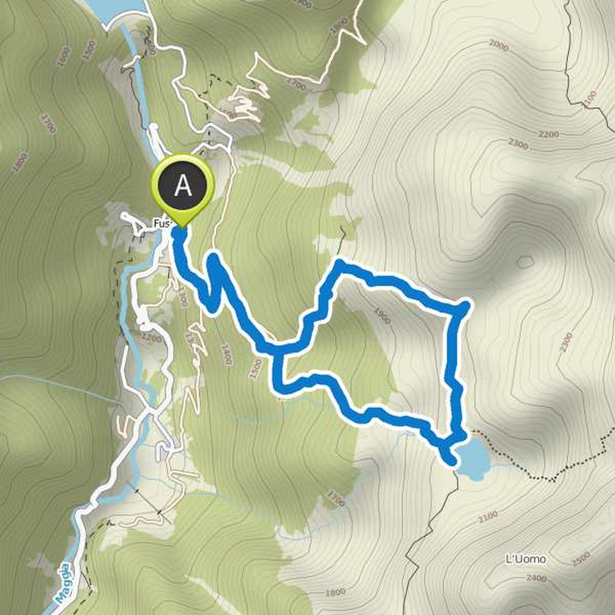
May 27, 2018
Very nice hike. Technically sophisticated. At the end of May, there are still big snowfields that have to be passed. On the descent, long passages along an old aqueduct. Very steep descent and ascent. When going up and down about the lower third passage over a beautiful waterfall.
Translated by Google •
Jochen Kaspar planned a hike
October 1, 2017
Time
Distance
Speed
Ascent
Descent
Jochen Kaspar planned a hike
September 3, 2017
Time
Distance
Speed
Ascent
Descent
JB likes this.
Jochen Kaspar planned a hike
August 27, 2017
Time
Distance
Speed
Ascent
Descent
Jochen Kaspar likes this.
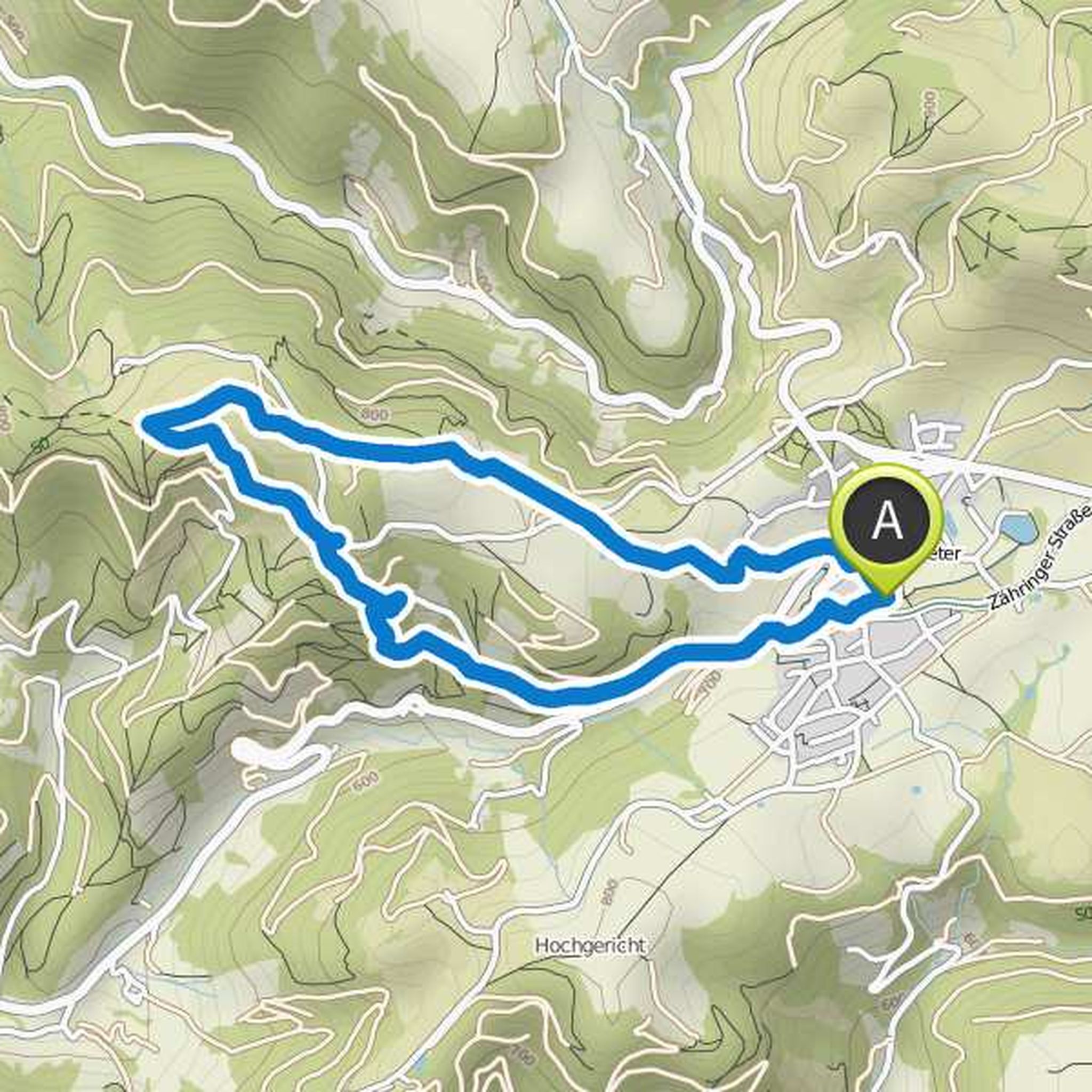
August 27, 2017
Very nice tour from St. Blasien in particular the stage from Bernau to Todtnauer hut (very neat hut with good food and friendly staff)
Translated by Google •
Jochen Kaspar and Johannes planned a hike
August 24, 2017
Time
Distance
Speed
Ascent
Descent
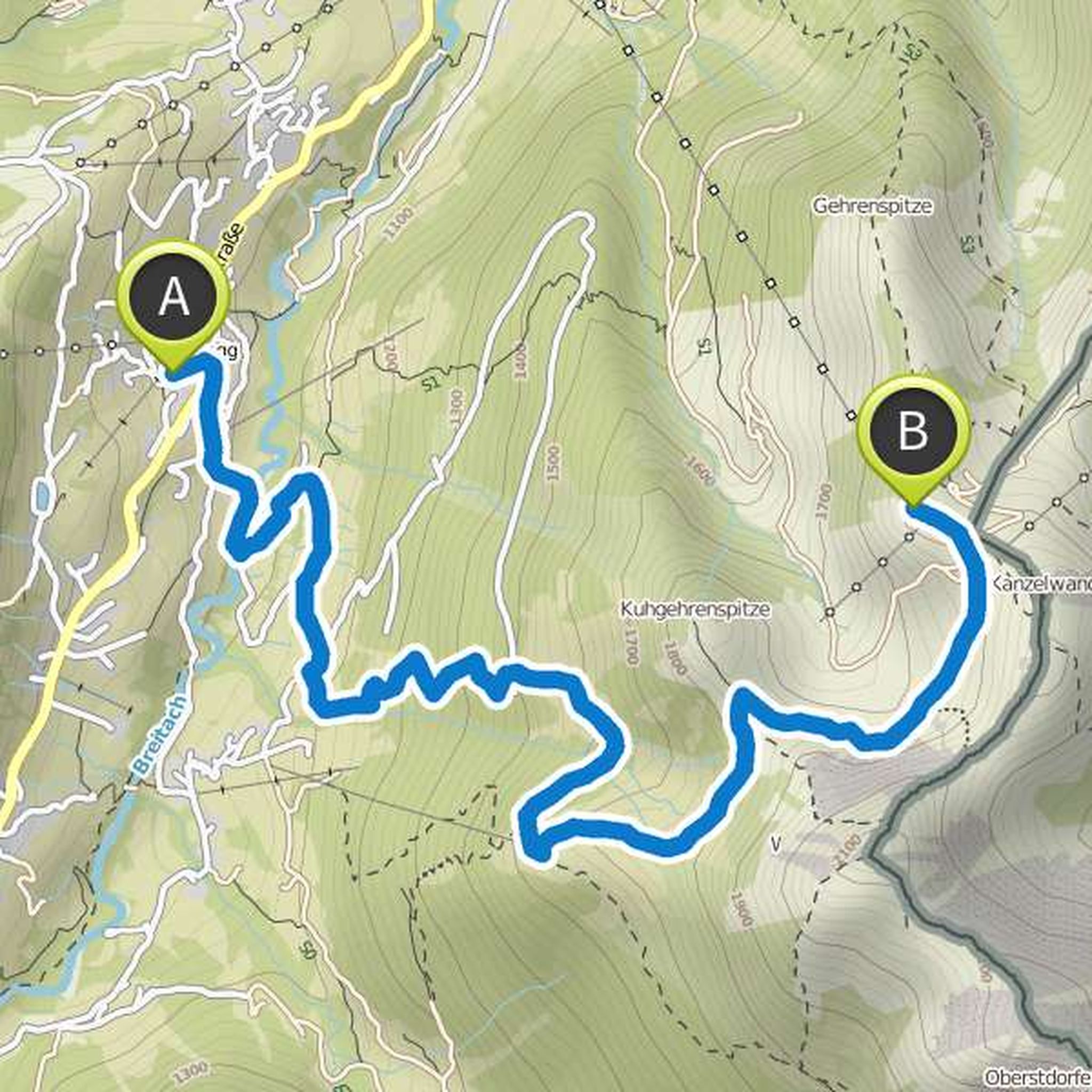
Jochen Kaspar planned a hike
August 23, 2017
Time
Distance
Speed
Ascent
Descent
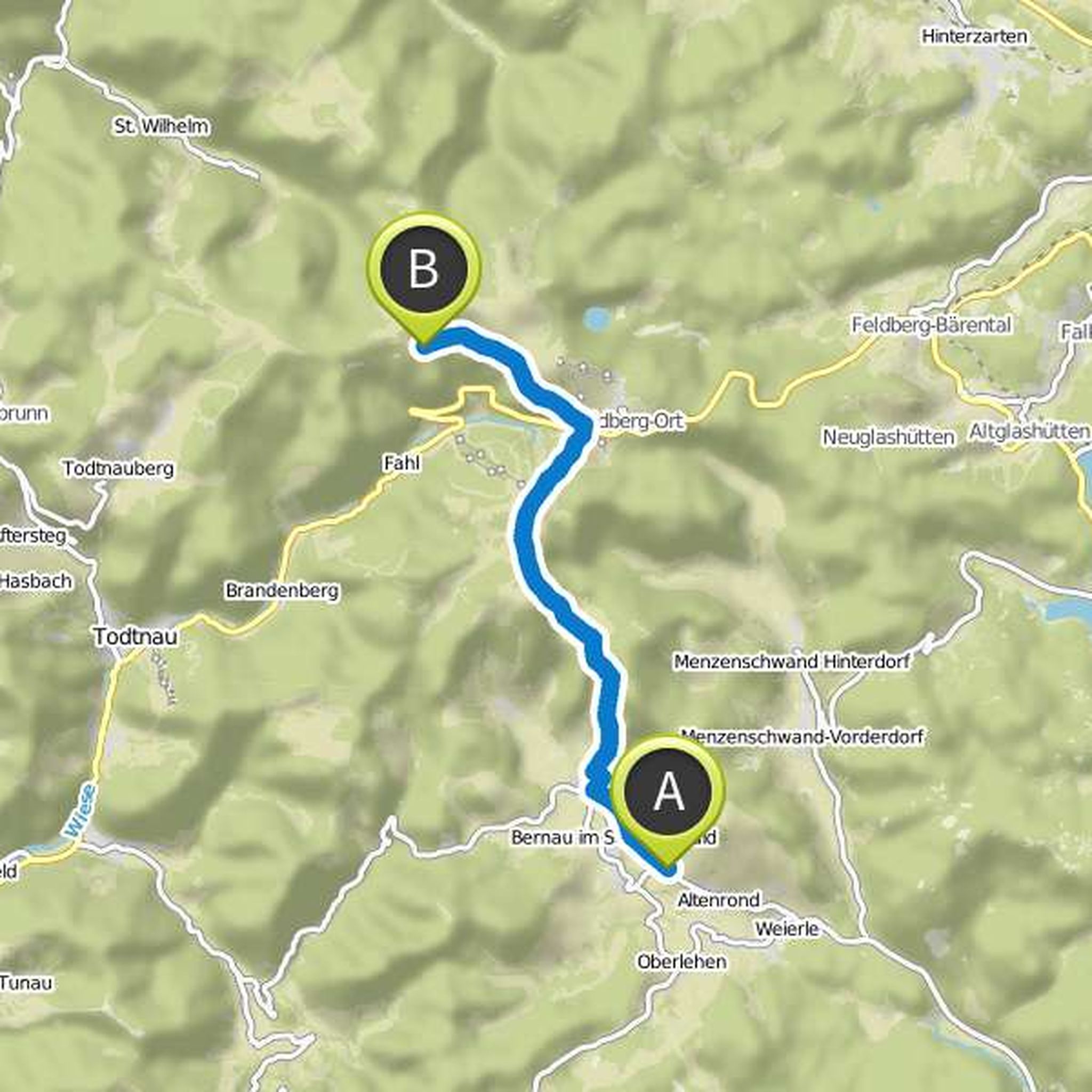
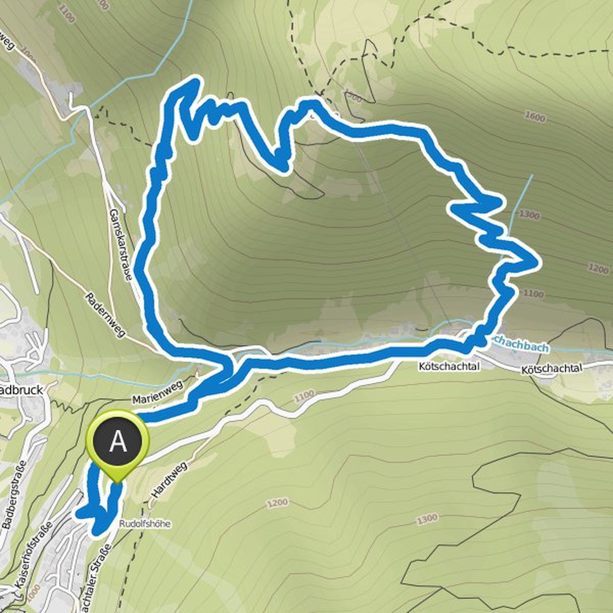
Jochen Kaspar planned a hike
August 6, 2017
Time
Distance
Speed
Ascent
Descent
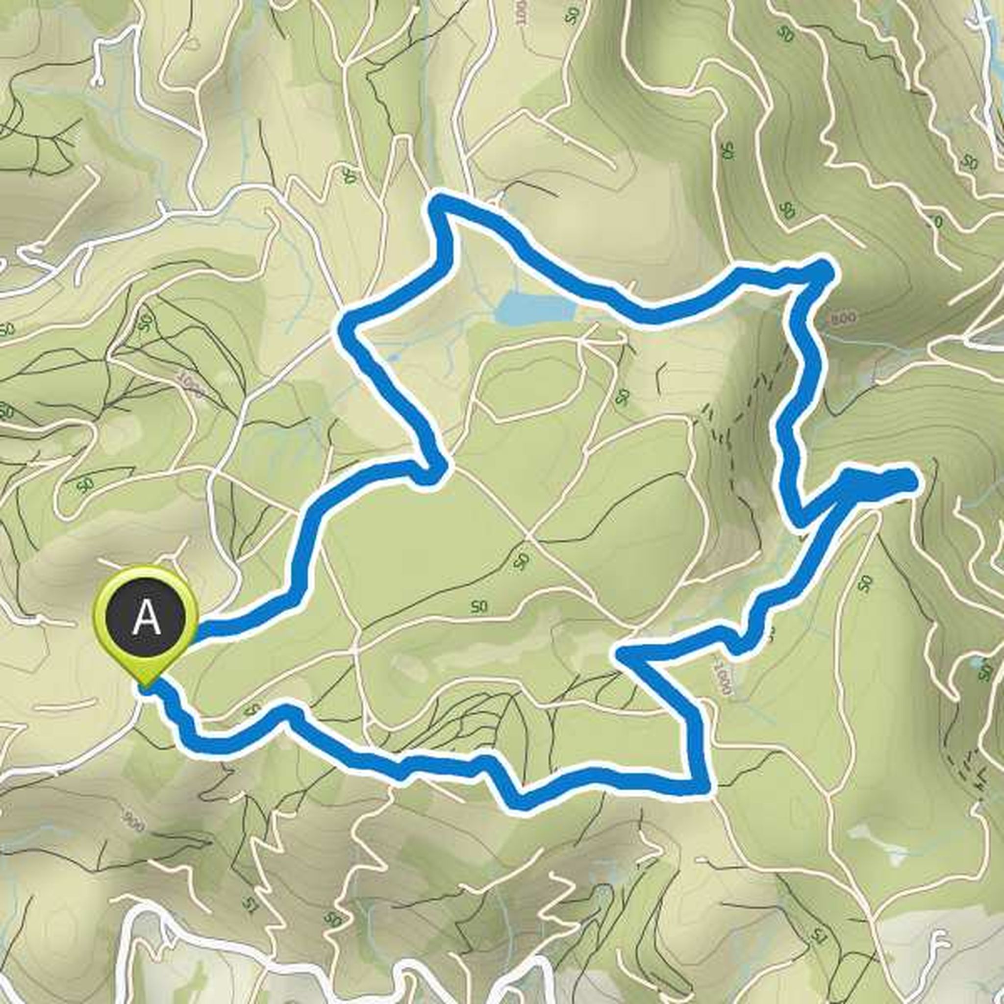
July 30, 2017
Beautiful hike with beautiful vantage points and good stop on the outer Kuhgerenhütte (good food). From there on busy road to Kanzelwand (oncoming traffic from the Kanzelwand) and by cable car into the valley.
Translated by Google •
August 8, 2020
Very nice technically demanding tour. At the fork in the road at the beginning go up to the left, as it is easier. You can bathe if not too cold. Good shoes there partly Over scree
Translated by Google •