Timeline
Arno planned a hike
September 8, 2020
Time
Distance
Speed
Ascent
Descent

Arno planned a hike
April 13, 2020
Time
Distance
Speed
Ascent
Descent


Arno planned a hike
April 12, 2020
Time
Distance
Speed
Ascent
Descent

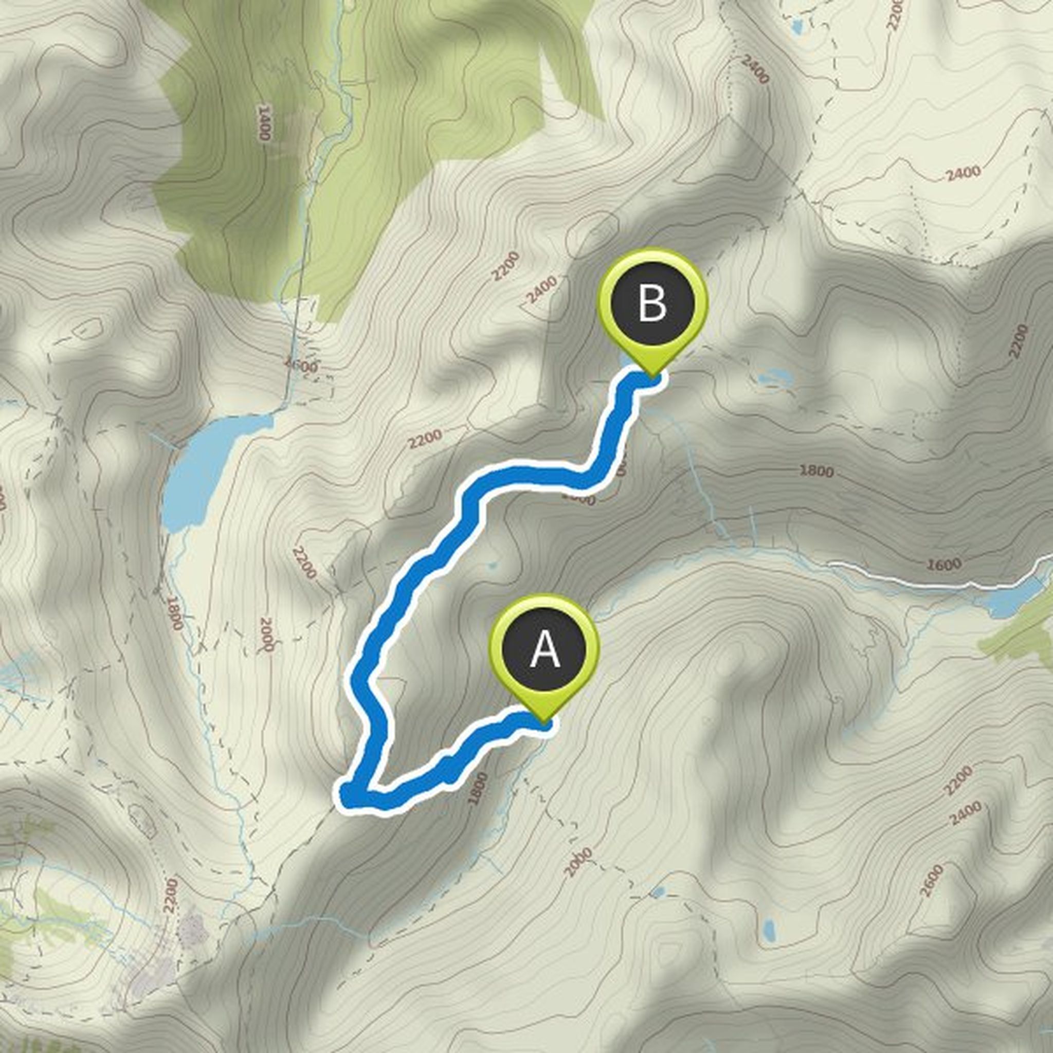
April 12, 2020
From the Tilisuna hut (2211 m), we return to Lake Tobel in Gauertal to the Gauertalhaus (1222 m) kristahof.com/gauertalhaus-4/#bilder and from there to the cars at the Latschau Staubecken car park (1000 m).
Translated by Google •
Arno planned a hike
April 12, 2020
Time
Distance
Speed
Ascent
Descent

April 12, 2020
From the Lindauer Hütte (1744 m) via the Drusentor (2343 m) de.wikipedia.org/wiki/Datei:Drusator.JPG to Switzerland to the Carschina hut (2235 m) carschina.ch /. Then via the Raätikon-Höhenweg Süd to Tilisunafurkele (2230 m) and back to Germany to Tlisunahütte (2211 m) with a fourth overnight stay tilisuna-huette.at
Translated by Google •
Arno planned a hike
April 12, 2020
Time
Distance
Speed
Ascent
Descent

April 12, 2020
Manderls, we start at the car park Staubecken Latschau (1000 m) and go past the Mansaura chapel (1009 m) into the Rellstal. Then optinally via Alpengasthof Rellstal (1490 m) mapio.net/pic/p-60298247 to the Heinrich Hueter Hütte (1766 m) for the first night hueterhuette.at/de/diehuette.php
Translated by Google •
Arno planned a hike
March 5, 2019
Time
Distance
Speed
Ascent
Descent

Arno planned a hike
March 5, 2019
Time
Distance
Speed
Ascent
Descent
Arno planned a hike
March 5, 2019
Time
Distance
Speed
Ascent
Descent

Arno planned a hike
March 5, 2019
Time
Distance
Speed
Ascent
Descent

Arno and others planned a hike
March 5, 2019
Time
Distance
Speed
Ascent
Descent

Frank & Anke, Bernd and Axel like this.
March 5, 2019
1st night: alpenverein.de/DAV-Services/Huettensuche/Sticklerhuette/6938432#dmdtab=oax-tab4
2nd overnight stay: koenigalm.at/naturpark-riedingtal-zederhaus-lungau.html
3rd overnight stay: franzfischer-huette.at/ausstattung
4th night: in St. Michael im Lungau
Translated by Google •
Arno and Marco Sieland planned a hike
July 25, 2018
Time
Distance
Speed
Ascent
Descent

Arno and others planned a hike
July 25, 2018
Time
Distance
Speed
Ascent
Descent

Matthias Schilling likes this.
July 11, 2018
1st night: Mittenwalder Hütte mittenwalder-huette.de
2nd night: Highland Hut hochlandhuette.de/wege.html
3rd night: Kriner-Kofler-Hütte alpenverein.at/huetten/?huette_nr=0694
4th night: Soiernhaus sektion-hochland.de/index.php?id=soiernhaus
Translated by Google •
Arno and others planned a hike
July 25, 2018
Time
Distance
Speed
Ascent
Descent

Arno planned a hike
July 25, 2018
Time
Distance
Speed
Ascent
Descent

April 13, 2020
Manderls, our PlanB for bad weather :-)
We drive to Vandans and get on the hiking bus that takes us to the Alpengasthof Rellstal (1490 m). From there we start to the Heinrich Hueter Hütte (1766 m) (1st night). Then continue to the Lindauer Hütte (1744 m) (2nd overnight stay). Then continue to the Tilisuna
Translated by Google •