Timeline
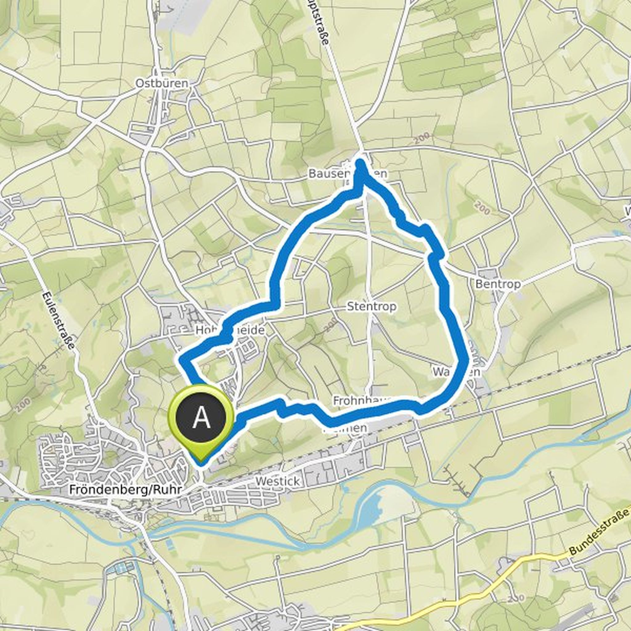
Hans-Jürgen Wenger planned a bike ride
April 17, 2026
Time
Distance
Speed
Ascent
Descent
Hans-Jürgen Wenger planned a hike
June 19, 2022
Time
Distance
Speed
Ascent
Descent
Hans-Jürgen Wenger planned a hike
May 13, 2022
Time
Distance
Speed
Ascent
Descent
Hans-Jürgen Wenger planned a hike
May 12, 2022
Time
Distance
Speed
Ascent
Descent
Hans-Jürgen Wenger planned a hike
January 16, 2022
Time
Distance
Speed
Ascent
Descent

Volker Rump 🌲〽️ likes this.
Hans-Jürgen Wenger planned a hike
November 7, 2021
Time
Distance
Speed
Ascent
Descent

Hans-Jürgen Wenger planned a hike
October 31, 2021
Time
Distance
Speed
Ascent
Descent

Volker Rump 🌲〽️ likes this.
Hans-Jürgen Wenger planned a hike
October 24, 2021
Time
Distance
Speed
Ascent
Descent
Volker Rump 🌲〽️ likes this.
Hans-Jürgen Wenger planned a bike ride
June 20, 2021
Time
Distance
Speed
Ascent
Descent

Volker Rump 🌲〽️ likes this.