Timeline
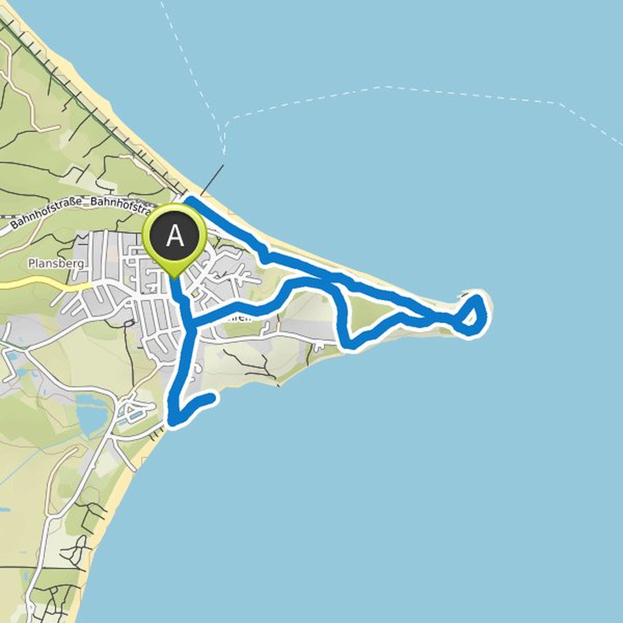
grit lachmayer planned a hike
May 17, 2020
Time
Distance
Speed
Ascent
Descent

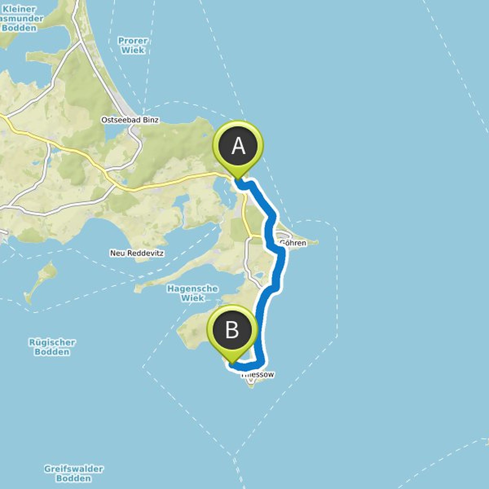
grit lachmayer planned a hike
May 17, 2020
Time
Distance
Speed
Ascent
Descent

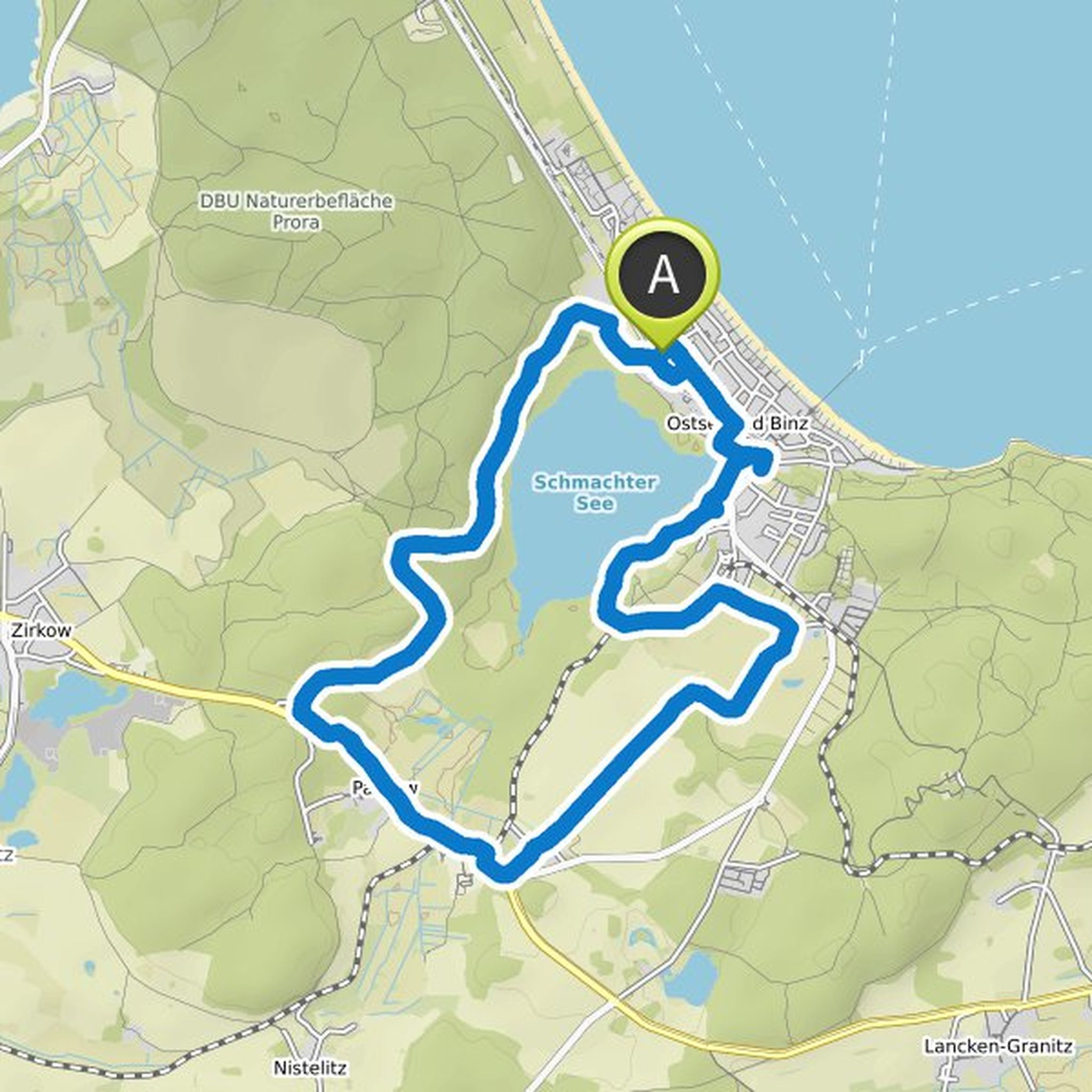
grit lachmayer planned a hike
May 17, 2020
Time
Distance
Speed
Ascent
Descent
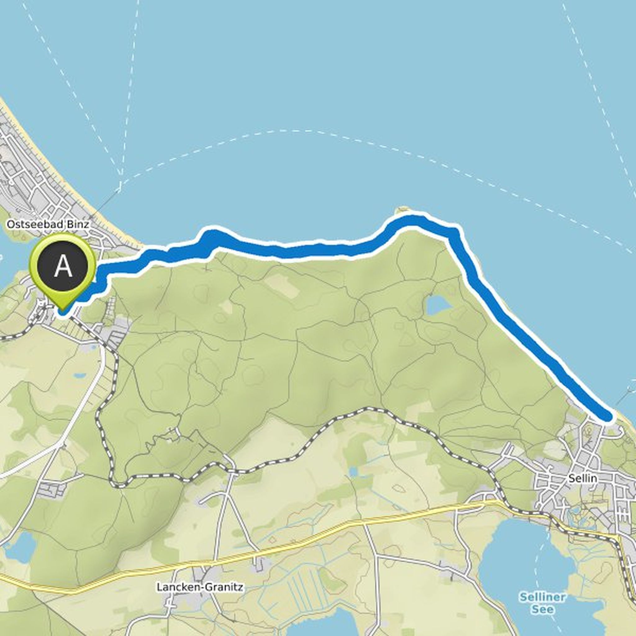
grit lachmayer planned a hike
May 17, 2020
Time
Distance
Speed
Ascent
Descent

grit lachmayer planned a hike
May 17, 2020
Time
Distance
Speed
Ascent
Descent

grit lachmayer planned a bike ride
May 17, 2020
Time
Distance
Speed
Ascent
Descent

grit lachmayer planned a hike
May 17, 2020
Time
Distance
Speed
Ascent
Descent

grit lachmayer planned a hike
May 17, 2020
Time
Distance
Speed
Ascent
Descent

grit lachmayer planned a bike ride
May 17, 2020
Time
Distance
Speed
Ascent
Descent

grit lachmayer planned a hike
May 17, 2020
Time
Distance
Speed
Ascent
Descent

grit lachmayer planned a hike
May 17, 2020
Time
Distance
Speed
Ascent
Descent
grit lachmayer planned a hike
May 17, 2020
Time
Distance
Speed
Ascent
Descent

grit lachmayer planned a hike
May 17, 2020
Time
Distance
Speed
Ascent
Descent
grit lachmayer planned a hike
May 17, 2020
Time
Distance
Speed
Ascent
Descent
grit lachmayer planned a hike
May 17, 2020
Time
Distance
Speed
Ascent
Descent
