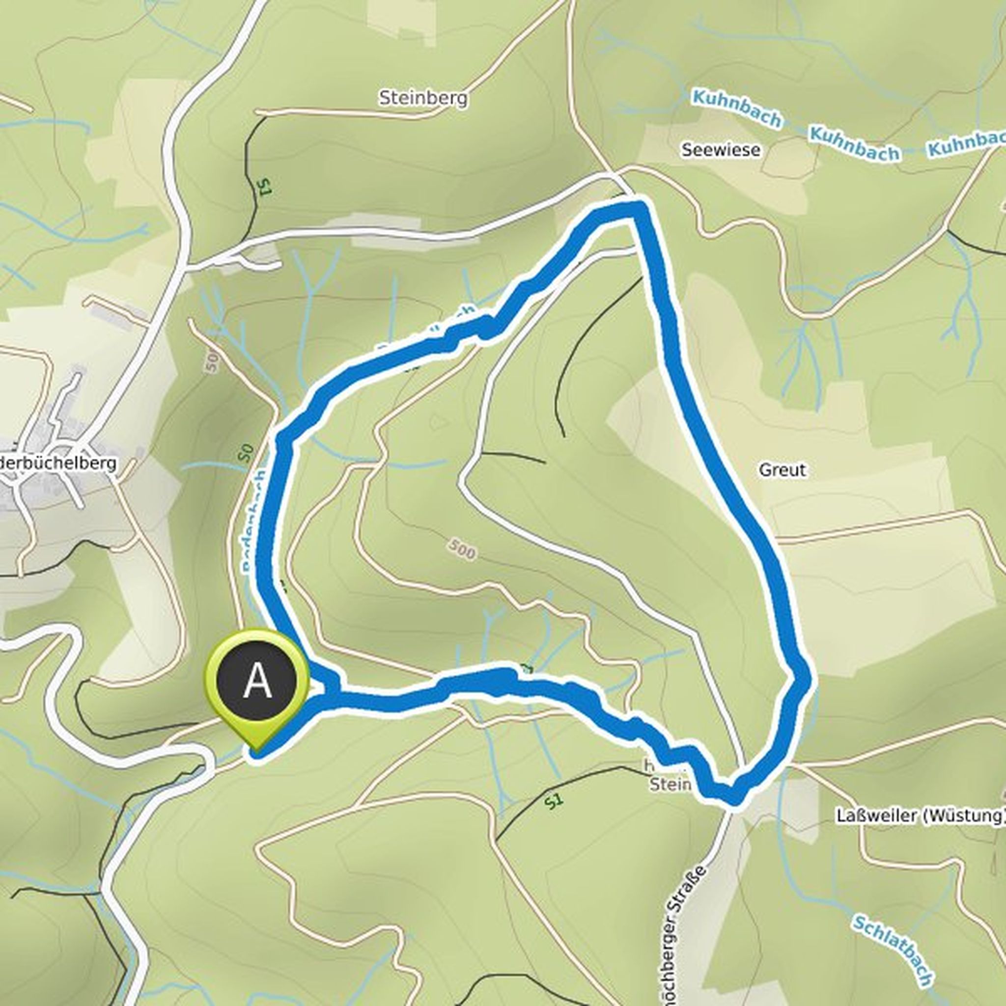
Timeline
Thomas Wössner planned a hike
August 30, 2022
Time
1h54m
Distance
7.09km
Speed
3.7km/h
Ascent
80m
Descent
80m
Map data © OpenStreetMap contributors
Thomas Wössner planned a hike
August 26, 2022
Time
2h05m
Distance
7.75km
Speed
3.7km/h
Ascent
100m
Descent
100m
Map data © OpenStreetMap contributors
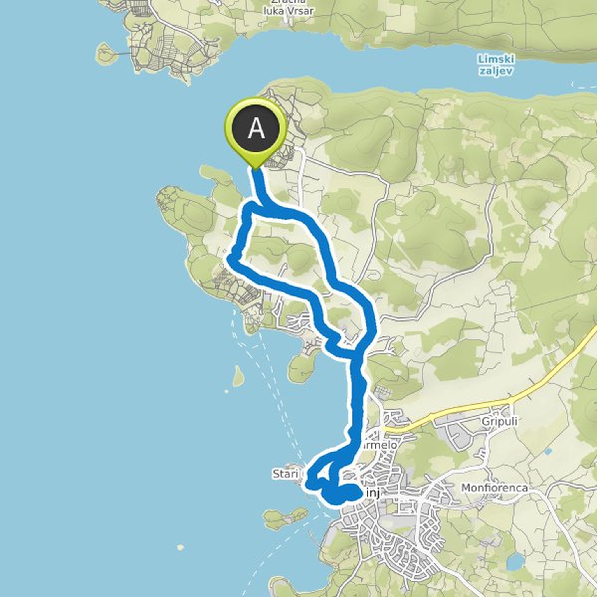
Thomas Wössner planned a bike ride
August 24, 2021
Time
1h04m
Distance
14.7km
Speed
13.7km/h
Ascent
100m
Descent
100m
Map data © OpenStreetMap contributors
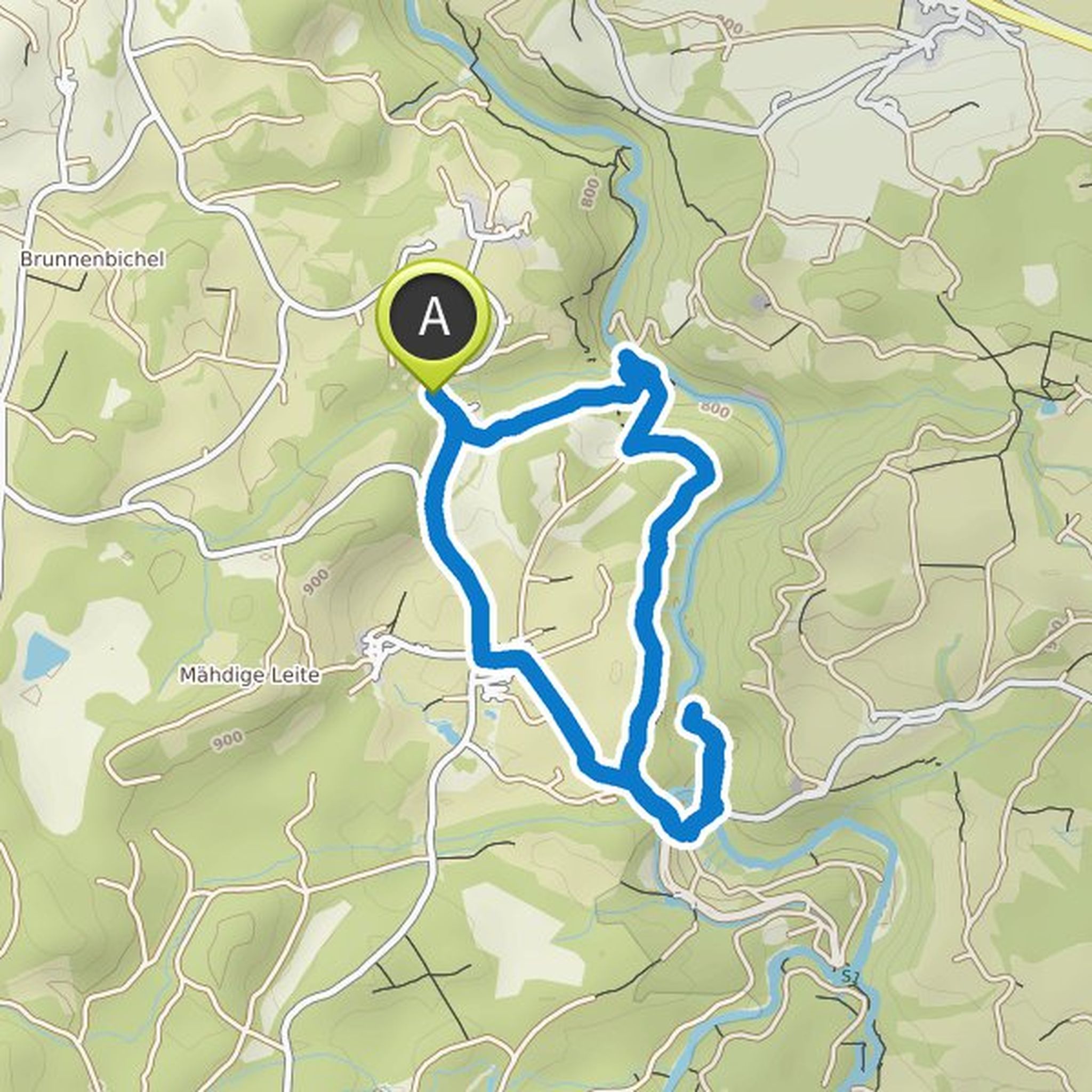
Thomas Wössner planned a hike
June 1, 2021
Time
2h10m
Distance
6.91km
Speed
3.2km/h
Ascent
150m
Descent
150m
Map data © OpenStreetMap contributors
Thomas Wössner planned a hike
May 27, 2021
Time
1h04m
Distance
3.21km
Speed
3.0km/h
Ascent
70m
Descent
80m
Map data © OpenStreetMap contributors
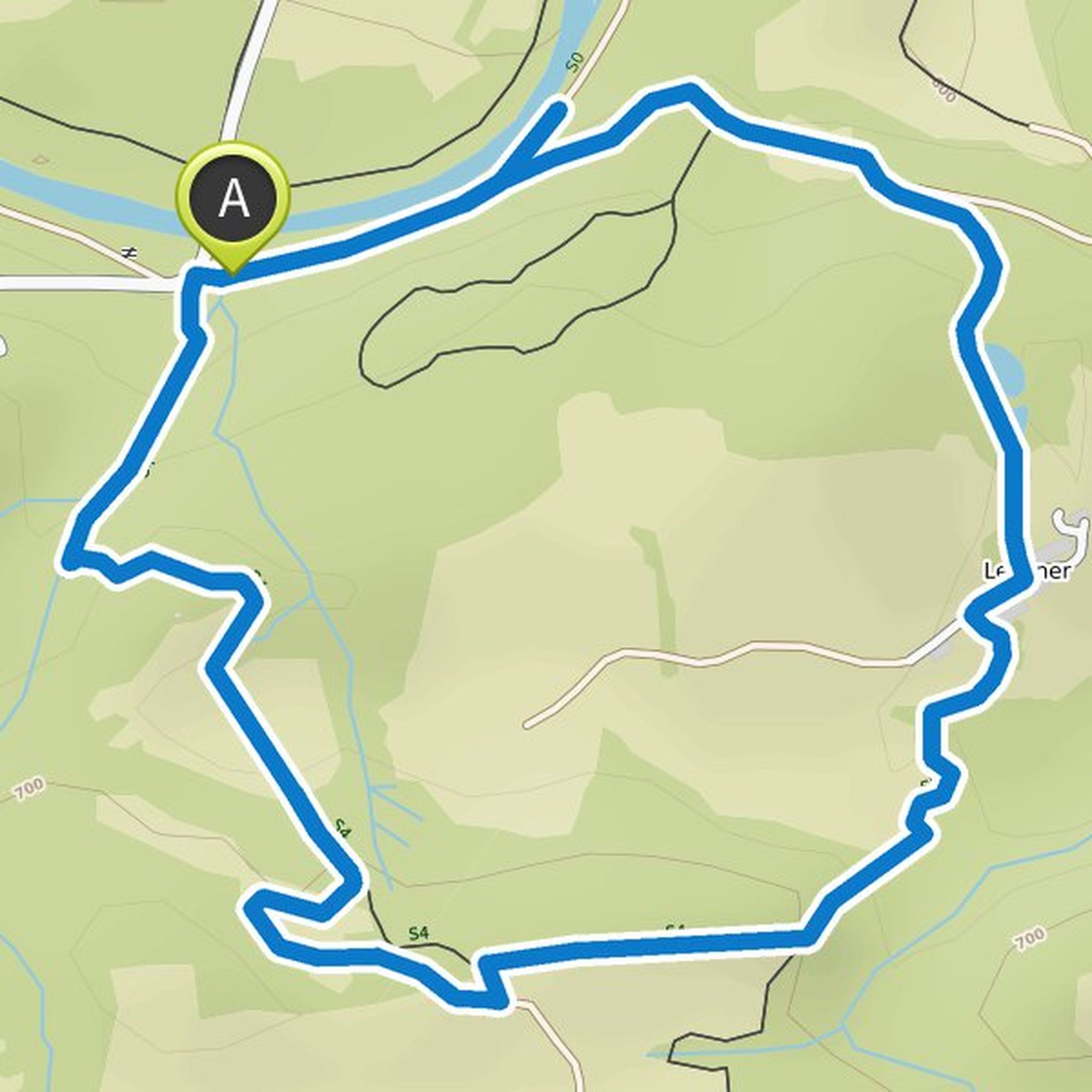
Thomas Wössner planned a hike
May 24, 2021
Time
2h25m
Distance
8.74km
Speed
3.6km/h
Ascent
160m
Descent
160m
Map data © OpenStreetMap contributors
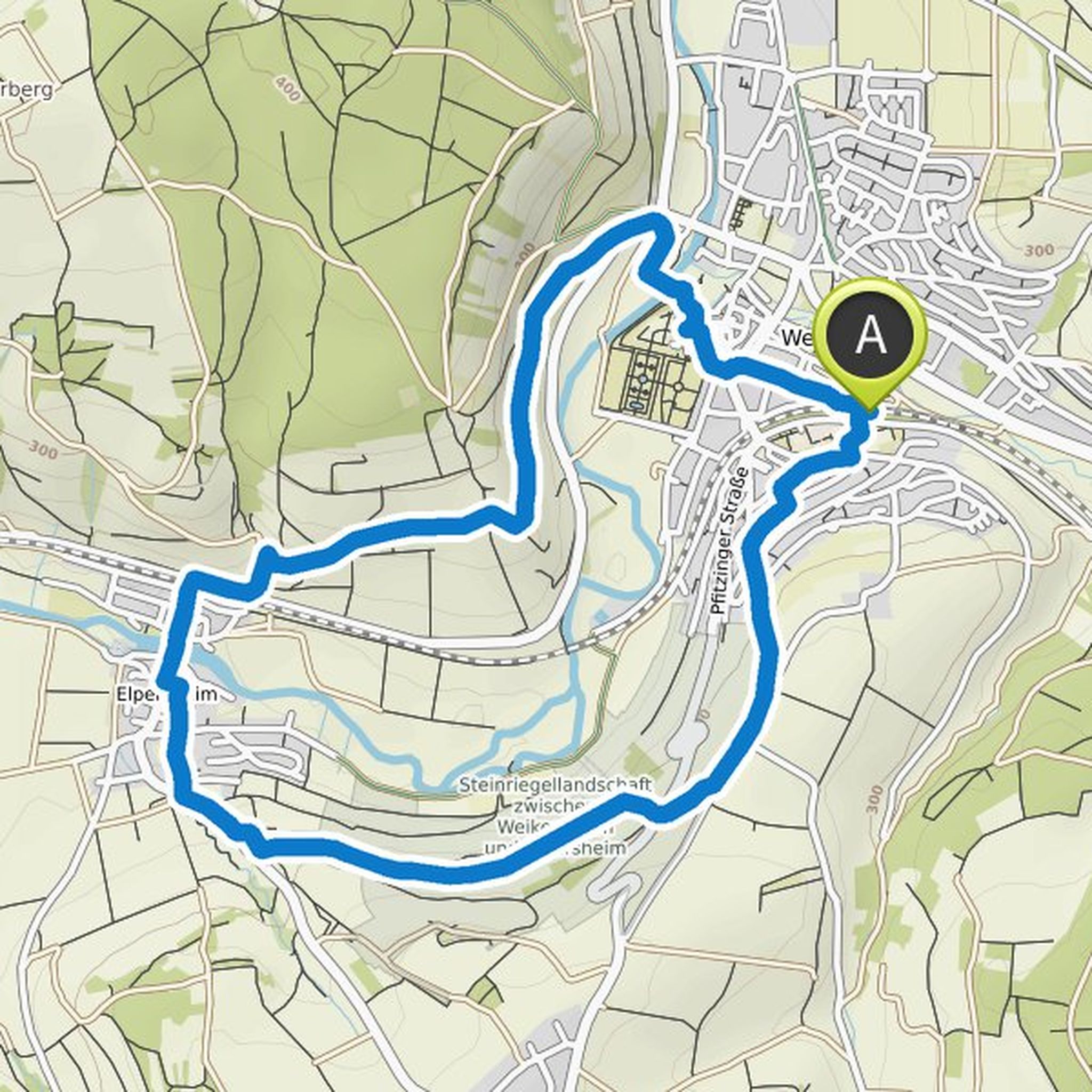
Thomas Wössner planned a hike
May 19, 2020
Time
1h22m
Distance
4.51km
Speed
3.3km/h
Ascent
130m
Descent
130m
Map data © OpenStreetMap contributors