Timeline
Ralf Eggermann planned a hike
November 20, 2021
Time
Distance
Speed
Ascent
Descent
Ralf Eggermann planned a hike
October 17, 2021
Time
Distance
Speed
Ascent
Descent
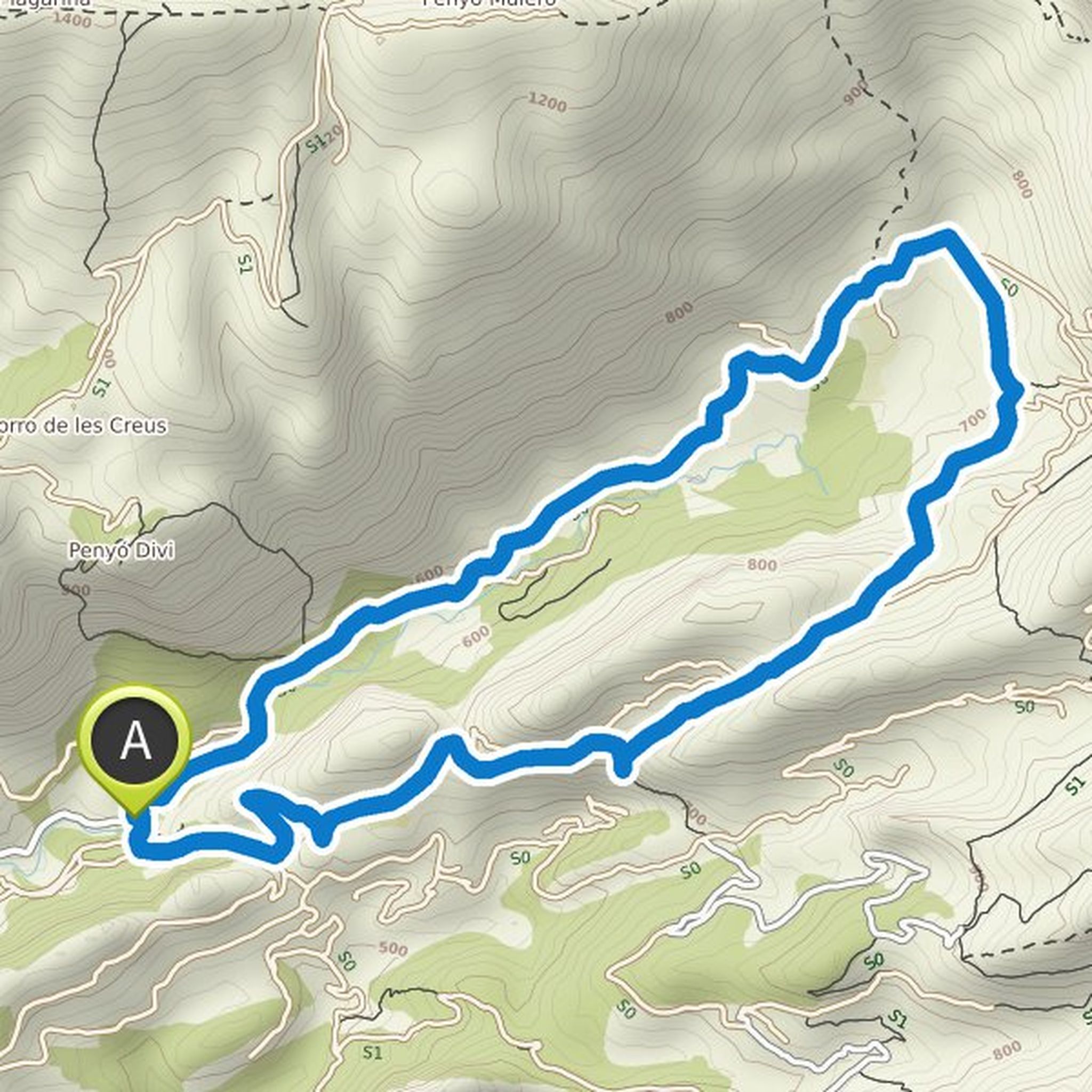
Ralf Eggermann planned a hike
October 16, 2021
Time
Distance
Speed
Ascent
Descent
Ralf Eggermann planned a hike
October 16, 2021
Time
Distance
Speed
Ascent
Descent
Joey likes this.
Ralf Eggermann planned a hike
October 16, 2021
Time
Distance
Speed
Ascent
Descent
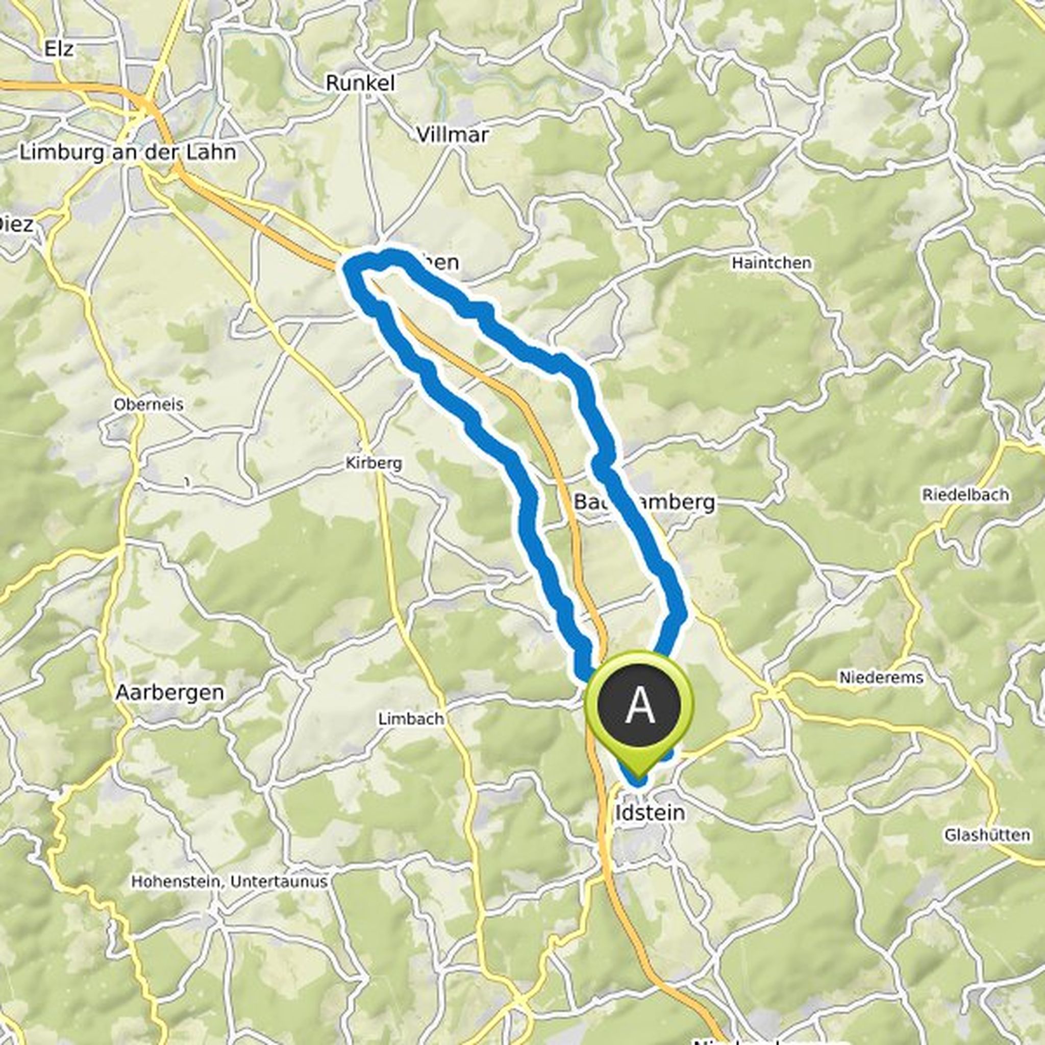
Ralf Eggermann planned a hike
October 12, 2021
Time
Distance
Speed
Ascent
Descent
Ralf Eggermann planned a hike
October 12, 2021
Time
Distance
Speed
Ascent
Descent

Ralf Eggermann planned a hike
October 12, 2021
Time
Distance
Speed
Ascent
Descent
Ralf Eggermann planned a hike
October 12, 2021
Time
Distance
Speed
Ascent
Descent
Ralf Eggermann planned a bike ride
August 2, 2021
Time
Distance
Speed
Ascent
Descent
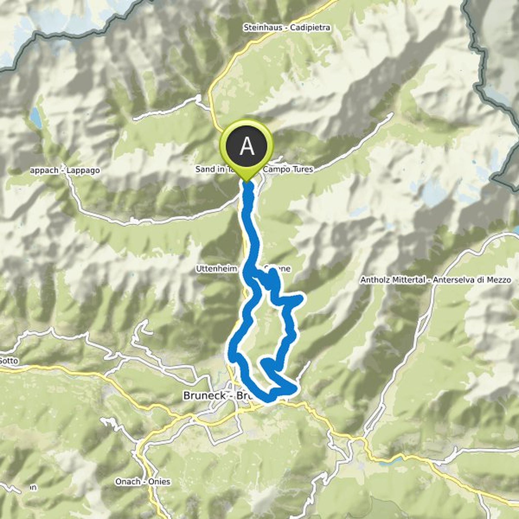
Ralf Eggermann planned a mountain bike ride
August 1, 2021
Time
Distance
Speed
Ascent
Descent
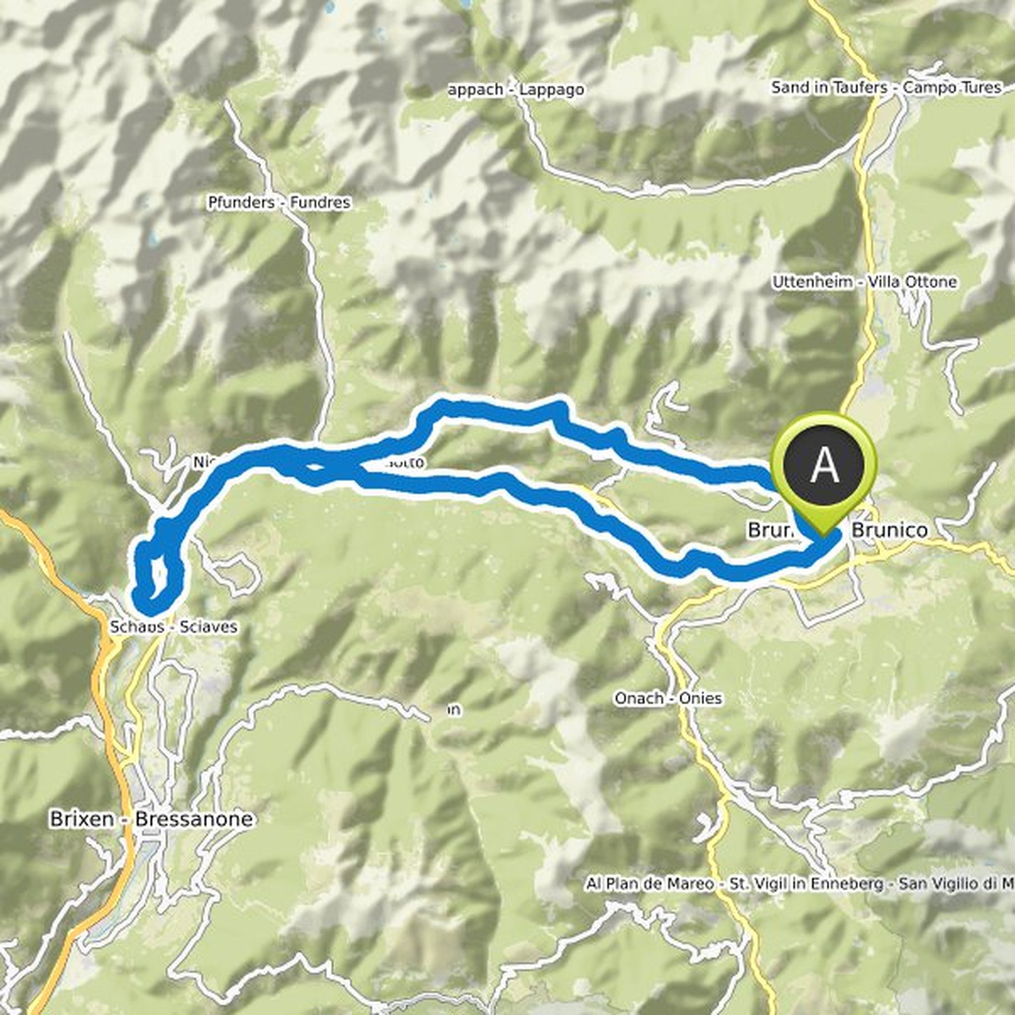
Ralf Eggermann planned a mountain bike ride
August 1, 2021
Time
Distance
Speed
Ascent
Descent
Ralf Eggermann planned a hike
July 28, 2021
Time
Distance
Speed
Ascent
Descent
Ralf Eggermann planned a hike
July 28, 2021
Time
Distance
Speed
Ascent
Descent
Ralf Eggermann planned a hike
July 28, 2021
Time
Distance
Speed
Ascent
Descent