Timeline
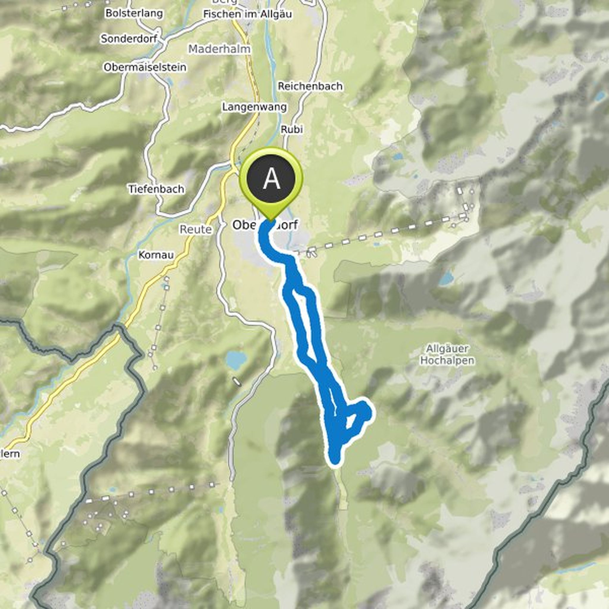
Elaria planned a hike
October 6, 2021
Time
Distance
Speed
Ascent
Descent

Elaria planned a hike
October 6, 2021
Time
Distance
Speed
Ascent
Descent

Elaria planned a hike
October 6, 2021
Time
Distance
Speed
Ascent
Descent
Elaria planned a hike
October 6, 2021
Time
Distance
Speed
Ascent
Descent
Elaria planned a hike
October 6, 2021
Time
Distance
Speed
Ascent
Descent

Elaria planned a hike
October 6, 2021
Time
Distance
Speed
Ascent
Descent

Elaria planned a hike
October 6, 2021
Time
Distance
Speed
Ascent
Descent

Elaria planned a hike
October 6, 2021
Time
Distance
Speed
Ascent
Descent

Elaria planned a hike
July 12, 2021
Time
Distance
Speed
Ascent
Descent

Elaria planned a hike
July 8, 2021
Time
Distance
Speed
Ascent
Descent

Elaria planned a hike
July 8, 2021
Time
Distance
Speed
Ascent
Descent
Elaria planned a hike
July 8, 2021
Time
Distance
Speed
Ascent
Descent

Elaria planned a hike
July 4, 2021
Time
Distance
Speed
Ascent
Descent

Elaria planned a hike
July 4, 2021
Time
Distance
Speed
Ascent
Descent
Elaria planned a hike
July 4, 2021
Time
Distance
Speed
Ascent
Descent