Timeline
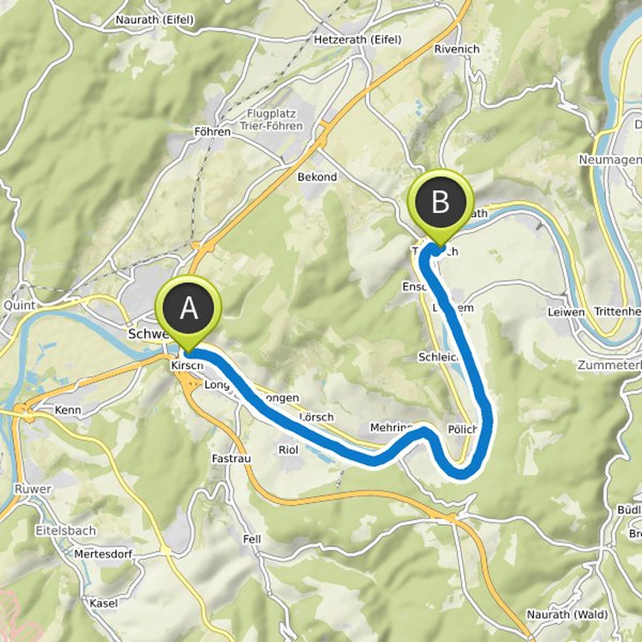
Dieter planned a bike ride
September 17, 2022
Time
Distance
Speed
Ascent
Descent
Dieter planned a hike
August 2, 2022
Time
Distance
Speed
Ascent
Descent
Dieter planned a hike
June 6, 2022
Time
Distance
Speed
Ascent
Descent
Dieter planned a hike
January 25, 2022
Time
Distance
Speed
Ascent
Descent

Dieter planned a hike
August 23, 2021
Time
Distance
Speed
Ascent
Descent

Dieter planned a hike
August 10, 2021
Time
Distance
Speed
Ascent
Descent

Dieter planned a hike
August 10, 2021
Time
Distance
Speed
Ascent
Descent

Dieter planned a hike
October 25, 2019
Time
Distance
Speed
Ascent
Descent

Dieter planned a bike ride
September 21, 2019
Time
Distance
Speed
Ascent
Descent
truemarmalade likes this.
Dieter planned a hike
March 22, 2019
Time
Distance
Speed
Ascent
Descent

Dieter planned a hike
January 26, 2019
Time
Distance
Speed
Ascent
Descent

Dieter planned a bike ride
September 10, 2018
Time
Distance
Speed
Ascent
Descent

Dieter planned a bike ride
July 6, 2018
Time
Distance
Speed
Ascent
Descent

Dieter planned a hike
May 18, 2018
Time
Distance
Speed
Descent

Dieter planned a hike
April 6, 2018
Time
Distance
Speed
Ascent
Descent
