Timeline
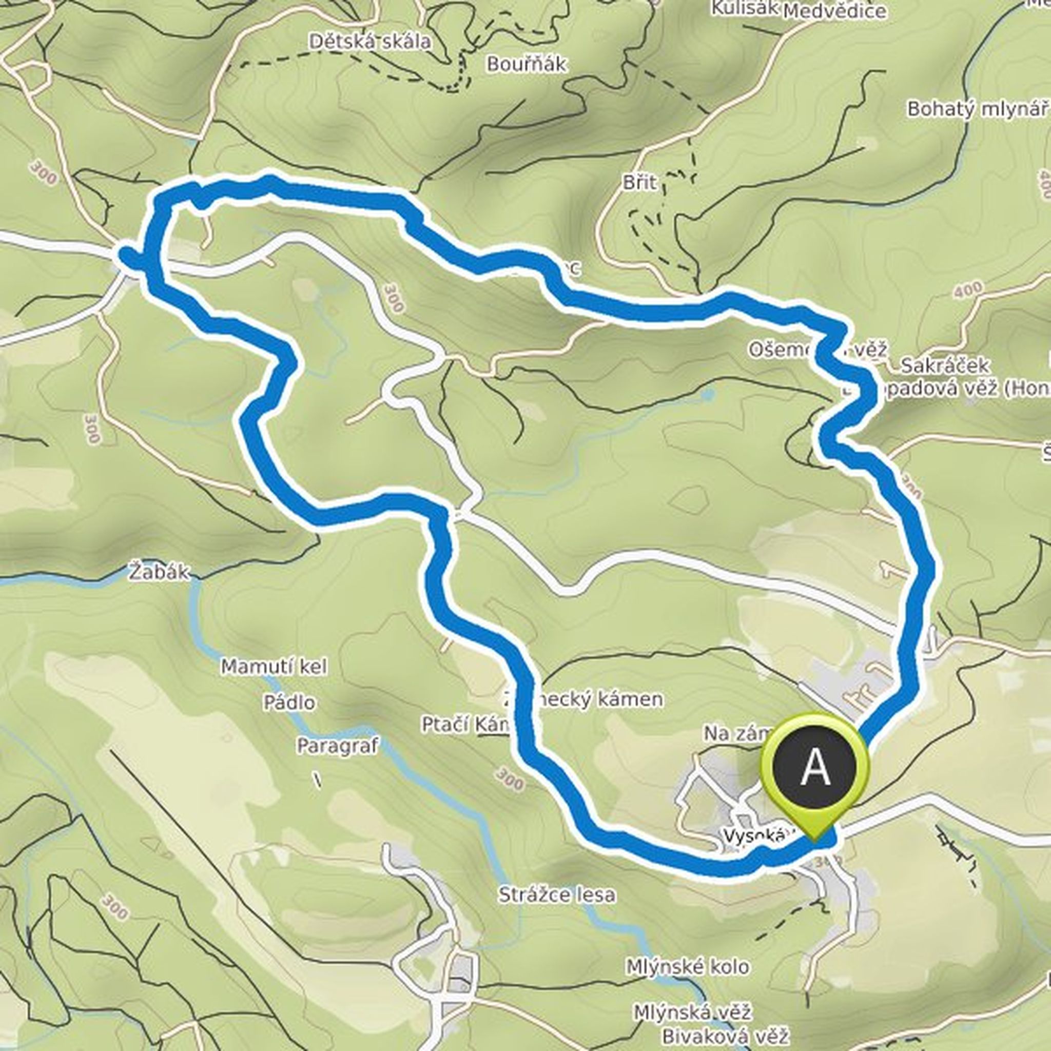
buehler_walter planned a hike
January 13, 2022
Time
2h06m
Distance
7.77km
Speed
3.7km/h
Ascent
100m
Descent
100m

Map data © OpenStreetMap contributors
buehler_walter planned a hike
January 13, 2022
Time
1h51m
Distance
6.75km
Speed
3.7km/h
Ascent
100m
Descent
100m

Map data © OpenStreetMap contributors
buehler_walter planned a hike
April 12, 2020
Time
2h06m
Distance
7.69km
Speed
3.7km/h
Ascent
120m
Descent
120m

Map data © OpenStreetMap contributors
buehler_walter planned a hike
September 24, 2019
Time
1h21m
Distance
2.76km
Speed
2.0km/h
Ascent
100m
Descent
430m

Map data © OpenStreetMap contributors
buehler_walter planned a hike
September 20, 2019
Time
2h47m
Distance
9.73km
Speed
3.5km/h
Ascent
220m
Descent
220m
Map data © OpenStreetMap contributors