Timeline
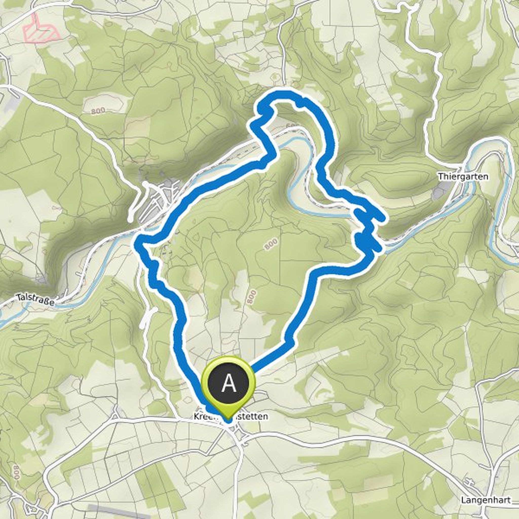
Michael planned a hike
October 8, 2022
Time
Distance
Speed
Ascent
Descent
Michael planned a hike
June 1, 2022
Time
Distance
Speed
Ascent
Descent
Michael planned a hike
June 1, 2022
Time
Distance
Speed
Ascent
Descent
Michael planned a hike
April 15, 2022
Time
Distance
Speed
Ascent
Descent
Michael planned a hike
April 15, 2022
Time
Distance
Speed
Ascent
Descent
Michael planned a hike
February 22, 2022
Time
Distance
Speed
Ascent
Descent

Michael planned a hike
February 22, 2022
Time
Distance
Speed
Ascent
Descent

Michael planned a hike
February 22, 2022
Time
Distance
Speed
Ascent
Descent

Michael planned a hike
February 22, 2022
Time
Distance
Speed
Ascent
Descent

Michael planned a hike
February 3, 2022
Time
Distance
Speed
Ascent
Descent
Michael planned a hike
February 3, 2022
Time
Distance
Speed
Ascent
Descent

Michael planned a hike
February 3, 2022
Time
Distance
Speed
Ascent
Descent

Michael planned a hike
February 3, 2022
Time
Distance
Speed
Ascent
Descent

Michael planned a hike
February 3, 2022
Time
Distance
Speed
Ascent
Descent

Michael planned a hike
February 3, 2022
Time
Distance
Speed
Ascent
Descent
