Timeline
Aleksey and Алескандр Тро planned a bike ride
June 14, 2026
Time
Distance
Speed
Ascent
Descent
Aleksey and Алескандр Тро planned a mountain bike ride
April 18, 2025
Time
Distance
Speed
Ascent
Descent
Aleksey and Алескандр Тро planned a hike
September 20, 2024
Time
Distance
Speed
Ascent
Descent
Валерия Скоморошкина and others planned a bike ride
June 3, 2024
Time
Distance
Speed
Ascent
Descent
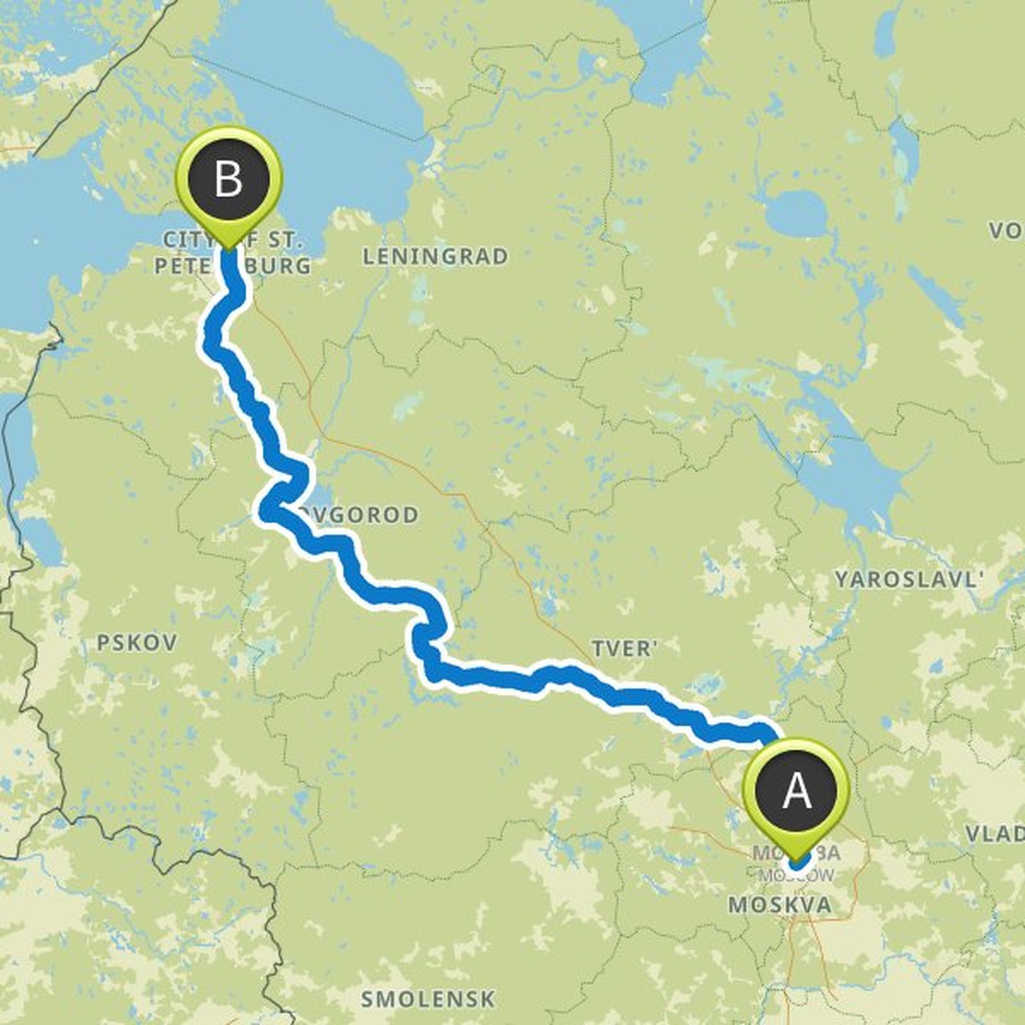
Алескандр Тро and Aleksey planned a gravel ride
August 12, 2020
Time
Distance
Speed
Ascent
Descent
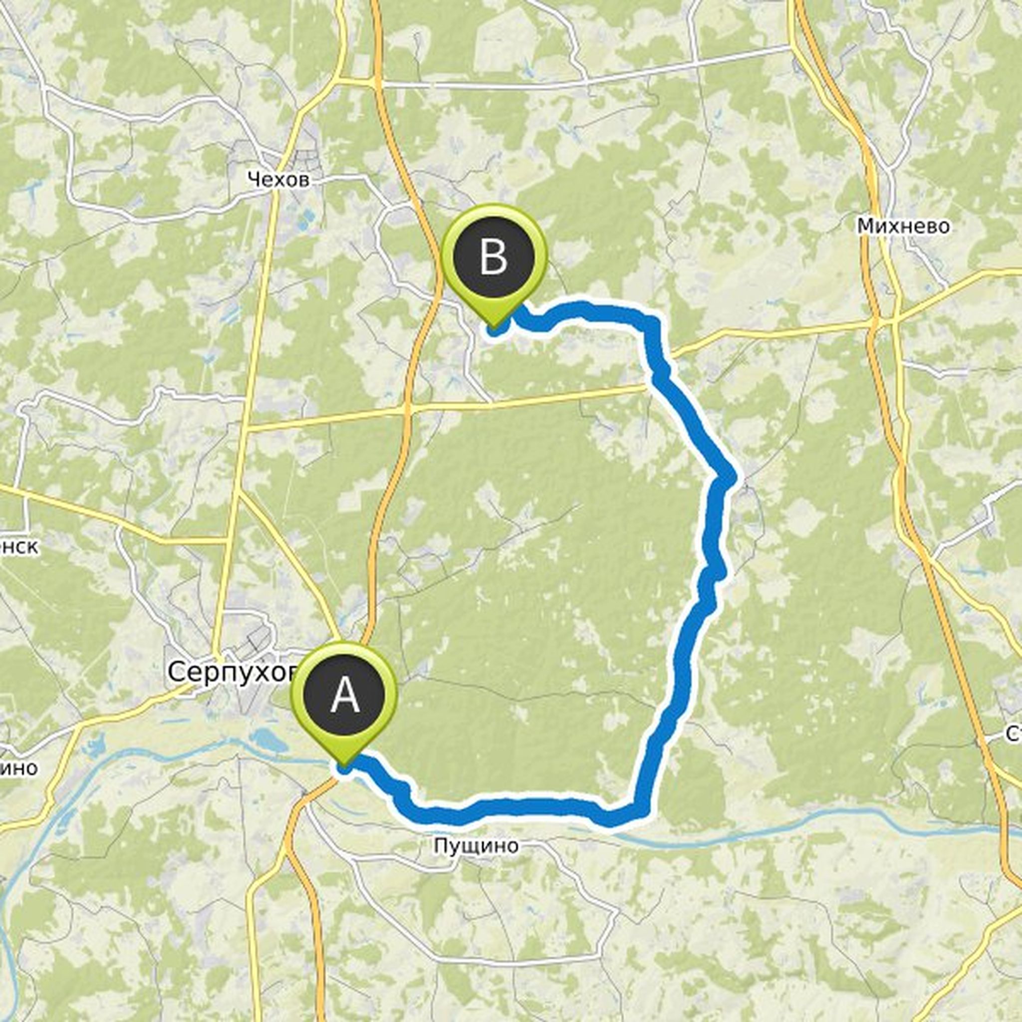
Алескандр Тро and Aleksey planned a gravel ride
August 12, 2020
Time
Distance
Speed
Ascent
Descent
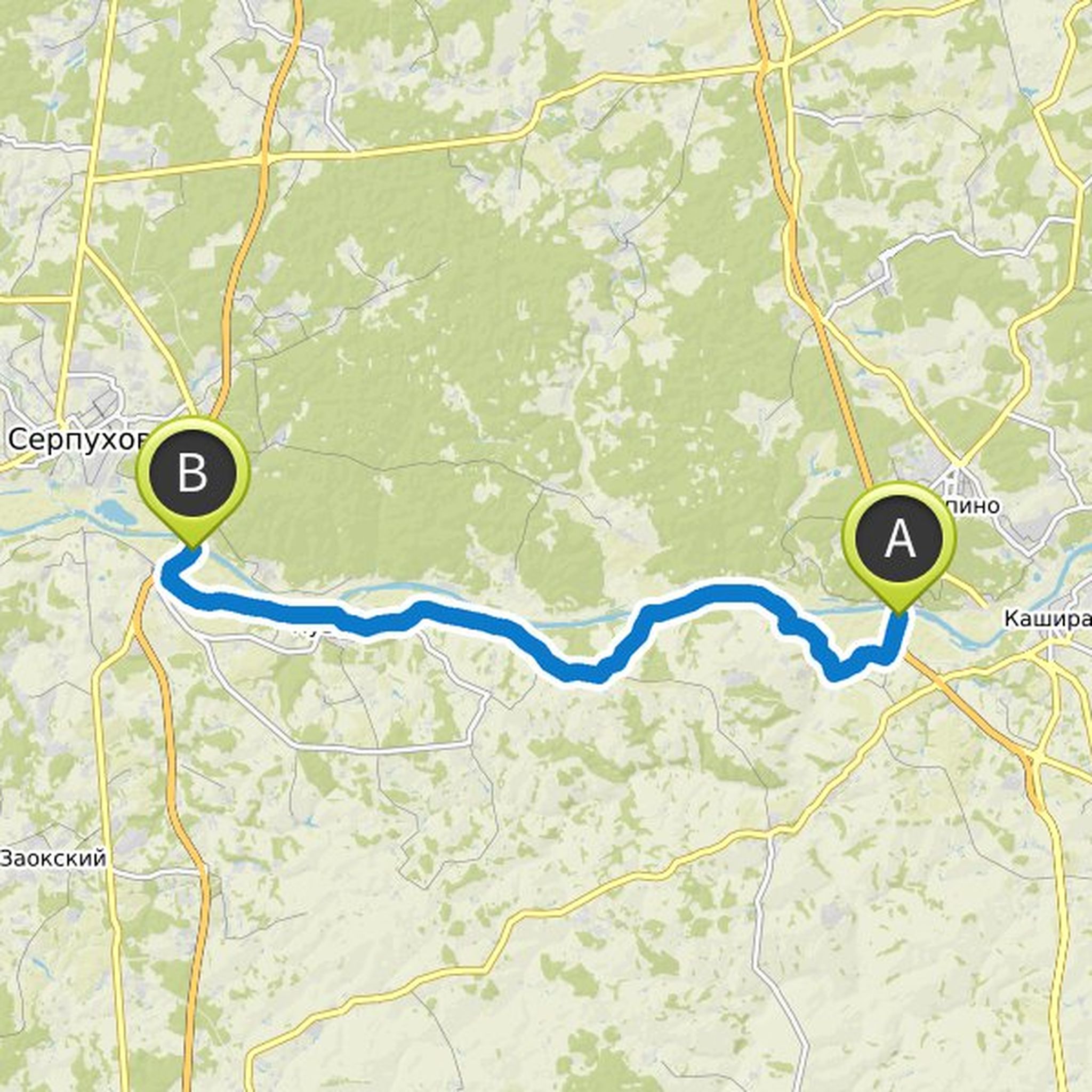
Алескандр Тро and Aleksey planned a gravel ride
August 12, 2020
Time
Distance
Speed
Ascent
Descent
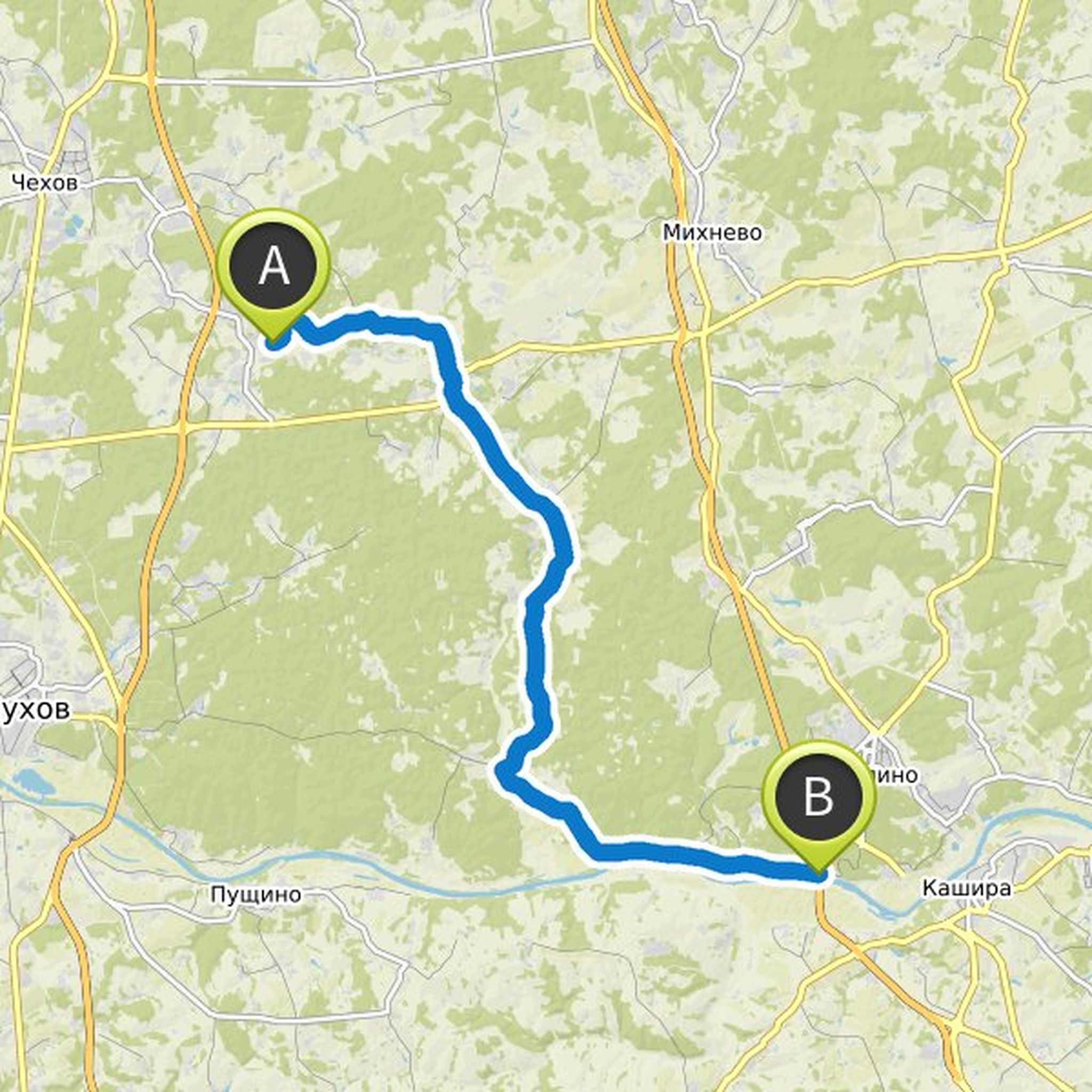
Алескандр Тро planned a gravel ride
July 14, 2020
Time
Distance
Speed
Ascent
Descent
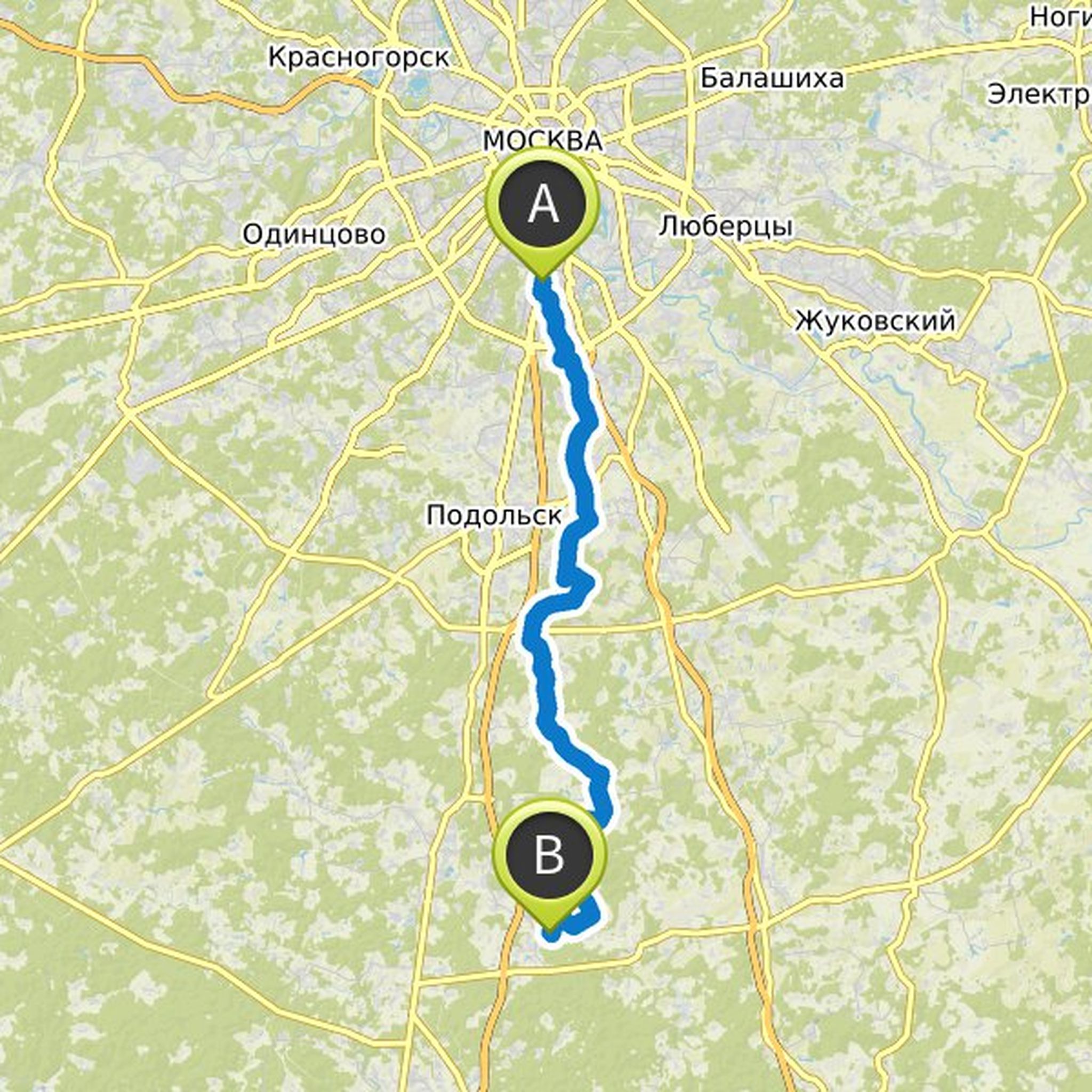
Алескандр Тро planned a mountain bike ride
December 28, 2017
Time
Distance
Speed
Ascent
Descent
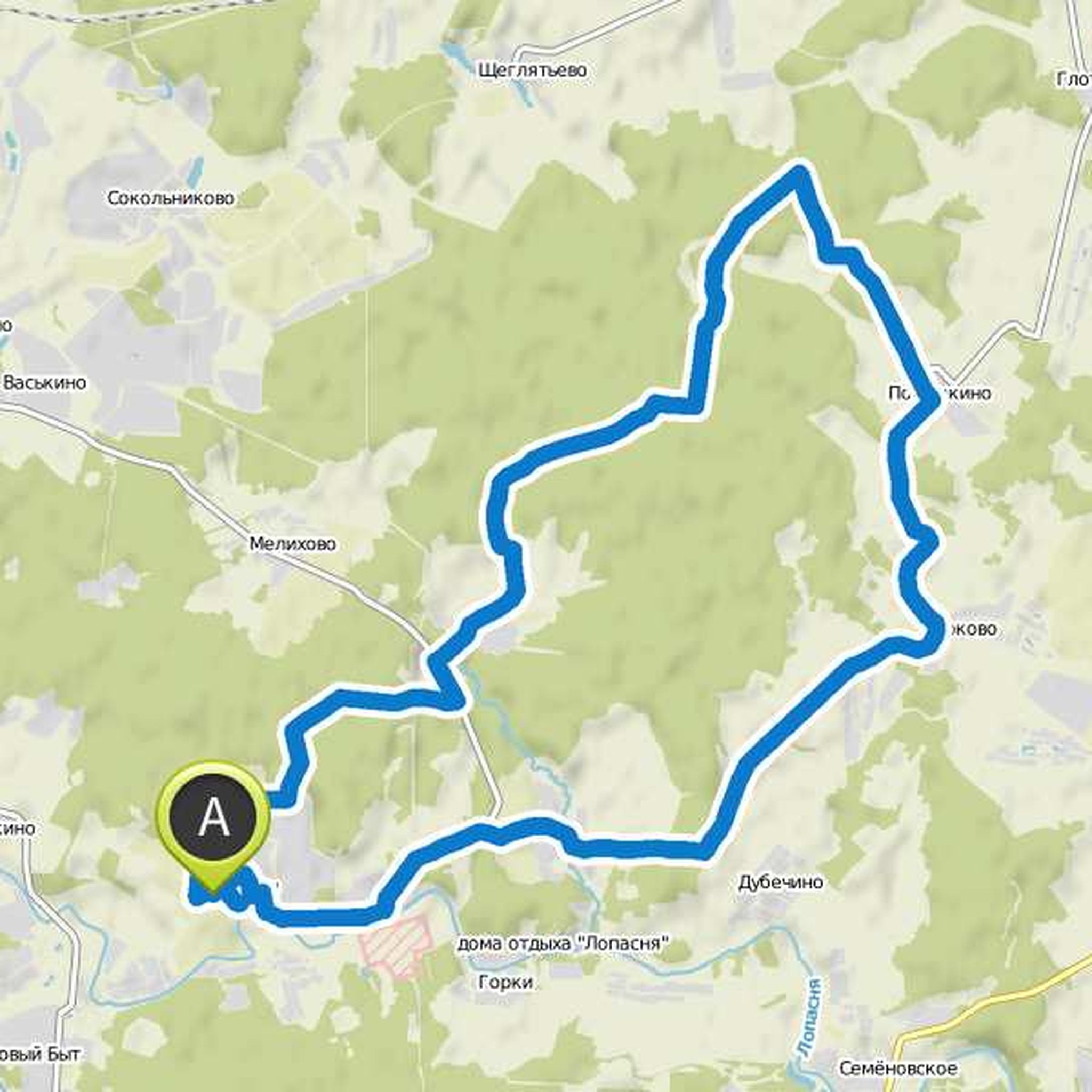
Алескандр Тро planned a mountain bike ride
July 4, 2017
Time
Distance
Speed
Ascent
Descent
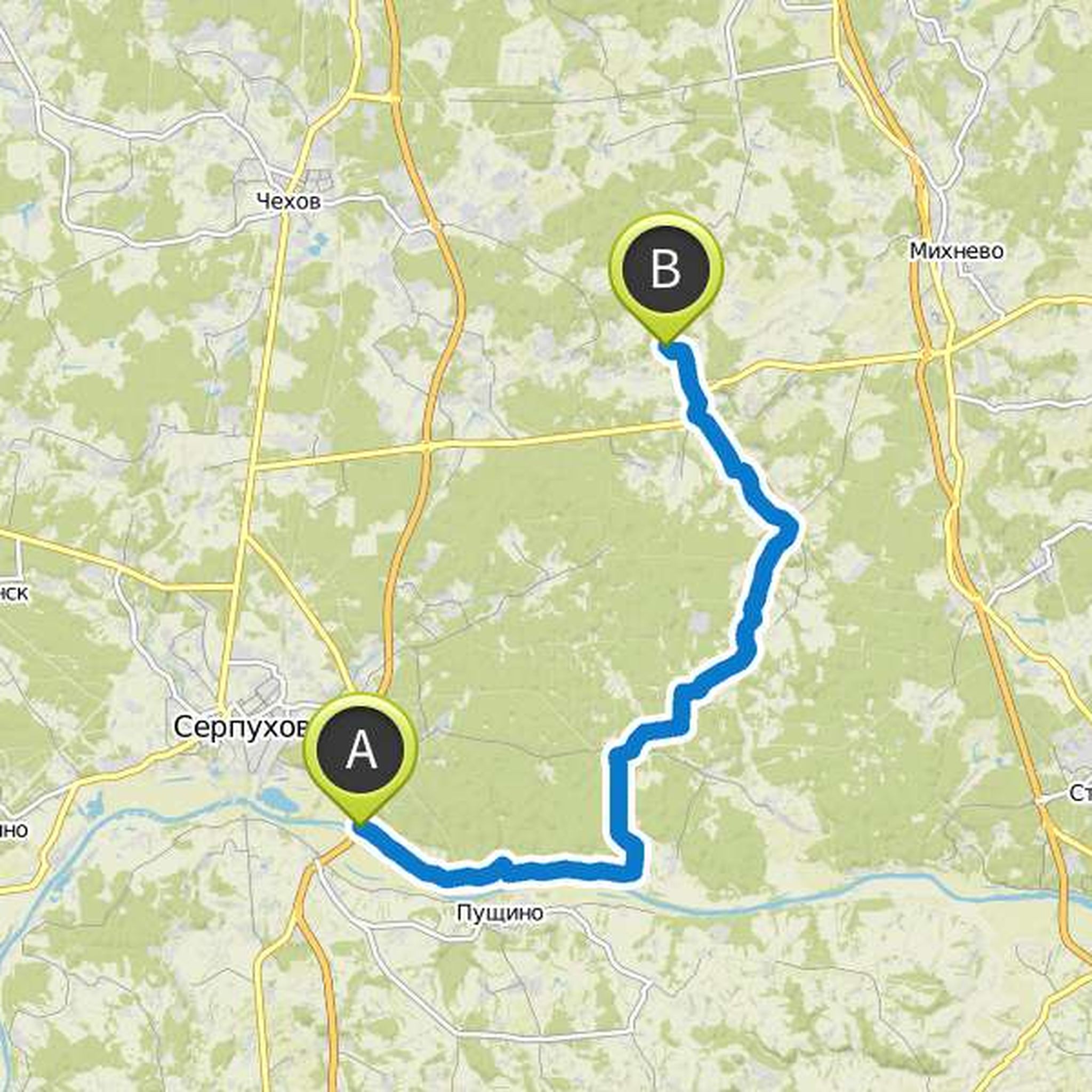
Алескандр Тро planned a hike
July 4, 2017
Time
Distance
Speed
Ascent
Descent
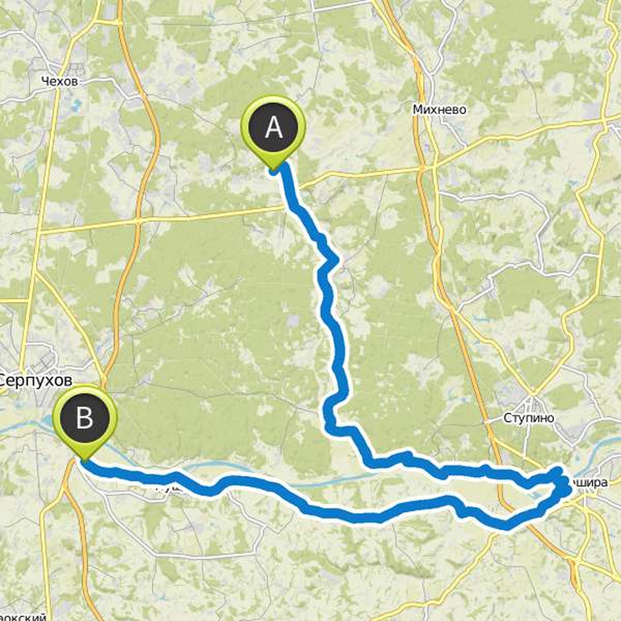
June 29, 2022
Hi all! I hope this message will reach everyone who subscribed to this route - there are errors and closed sections in the area of the Uchinsky reservoir! Editing this route is not very convenient, but it’s impossible not to say about it. If you want to go there - here is komoot.com/tour/796738018 the
Translated by Google •