Timeline
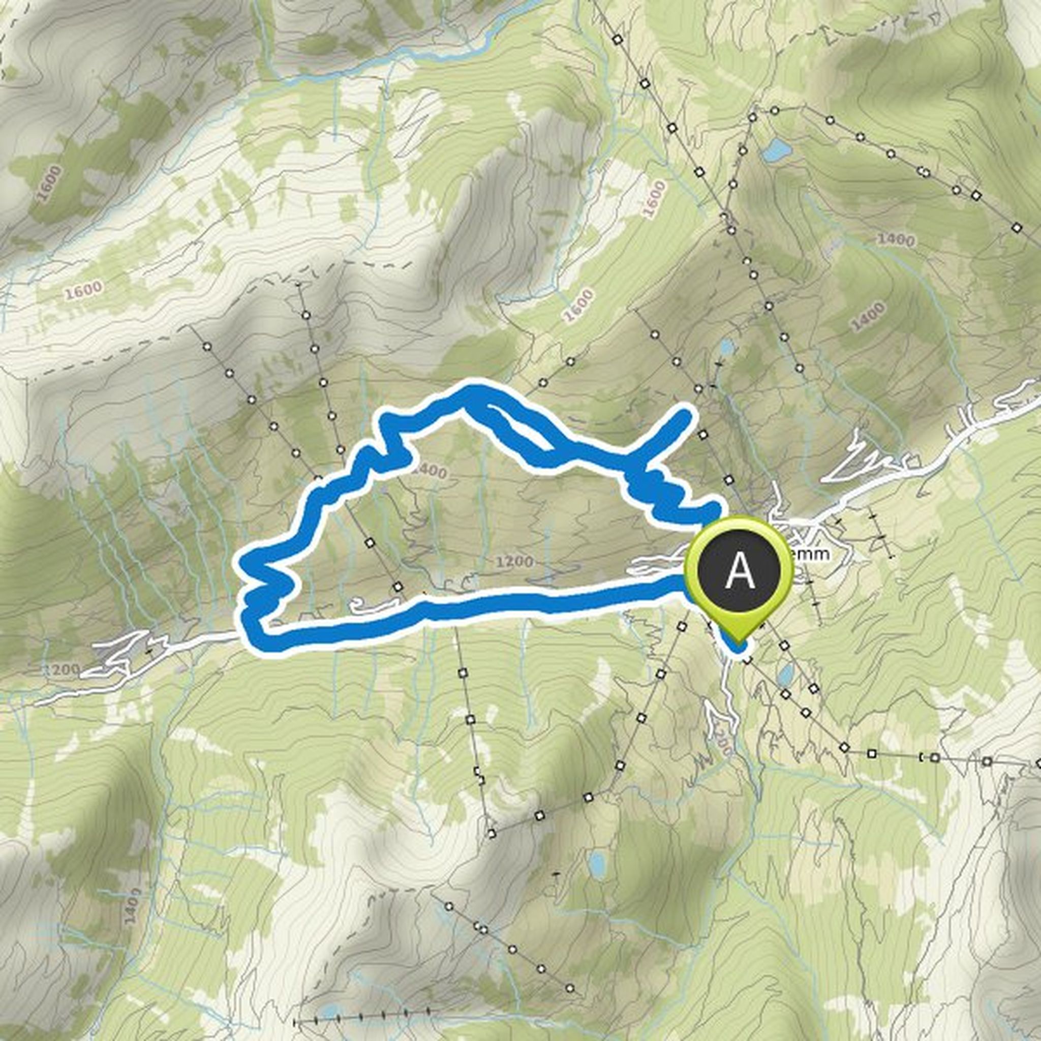
Johann Bierl and others planned a mountain bike ride
September 19, 2025
Time
Distance
Speed
Ascent
Descent
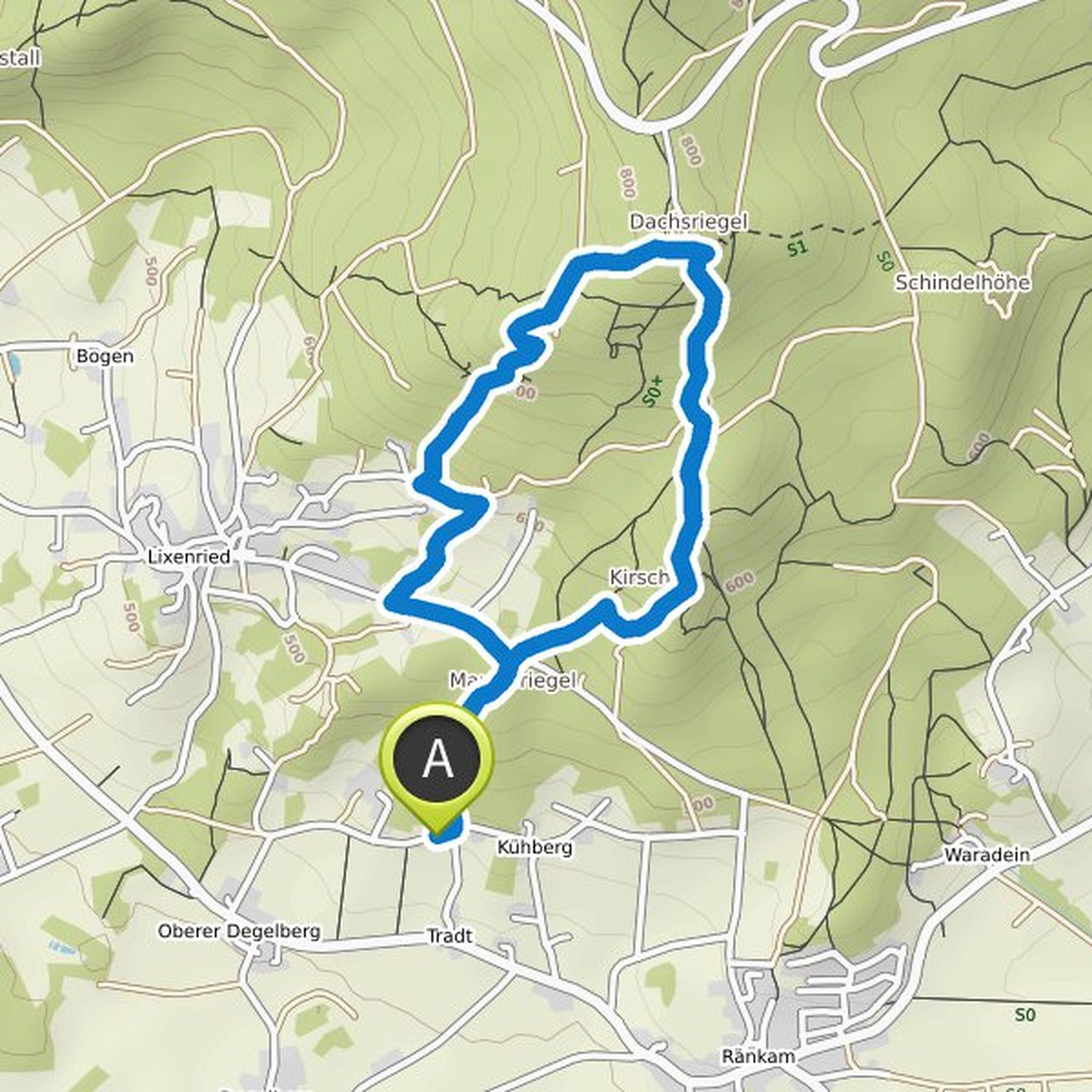
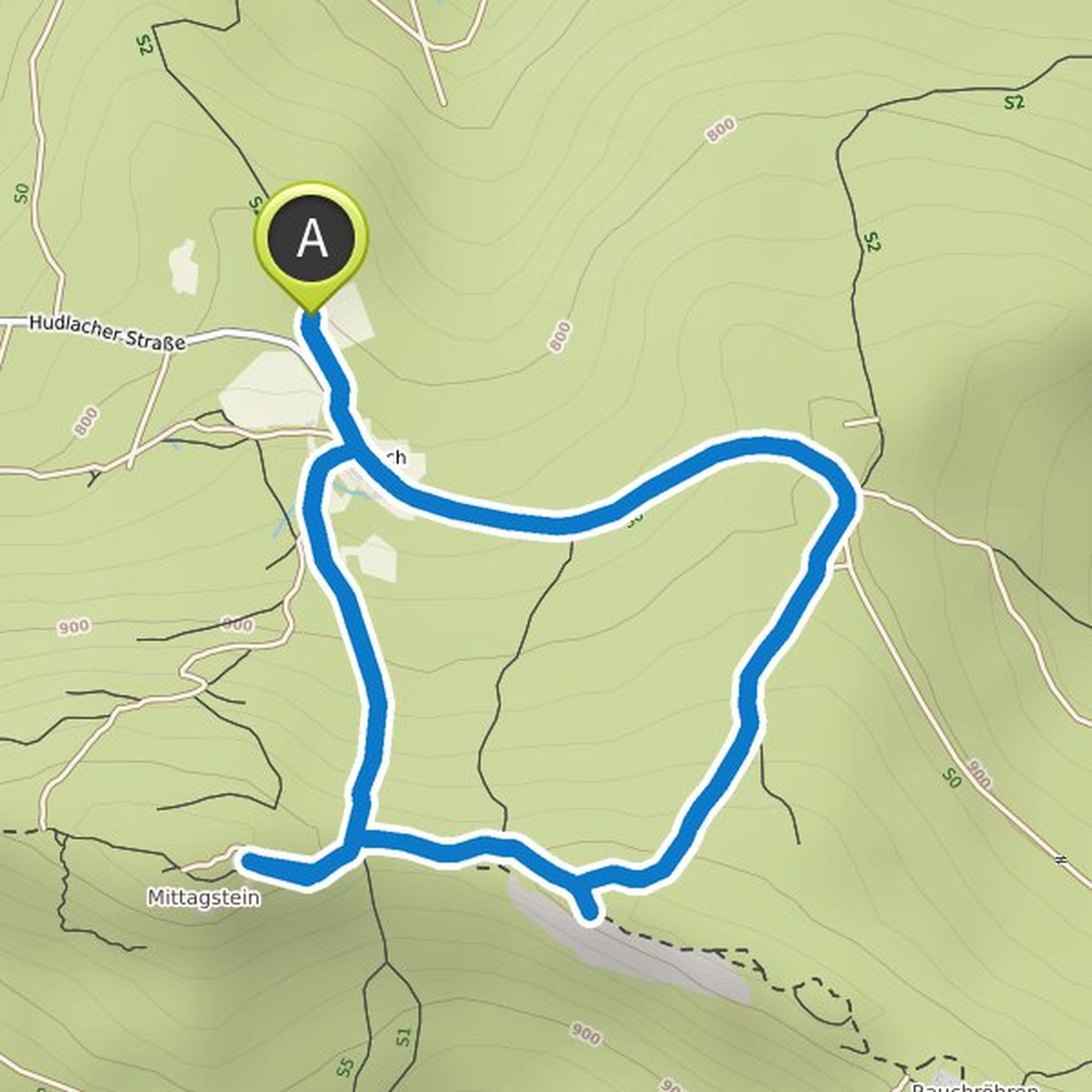
Thomas Vogl planned a hike
October 14, 2022
Time
Distance
Speed
Ascent
Descent
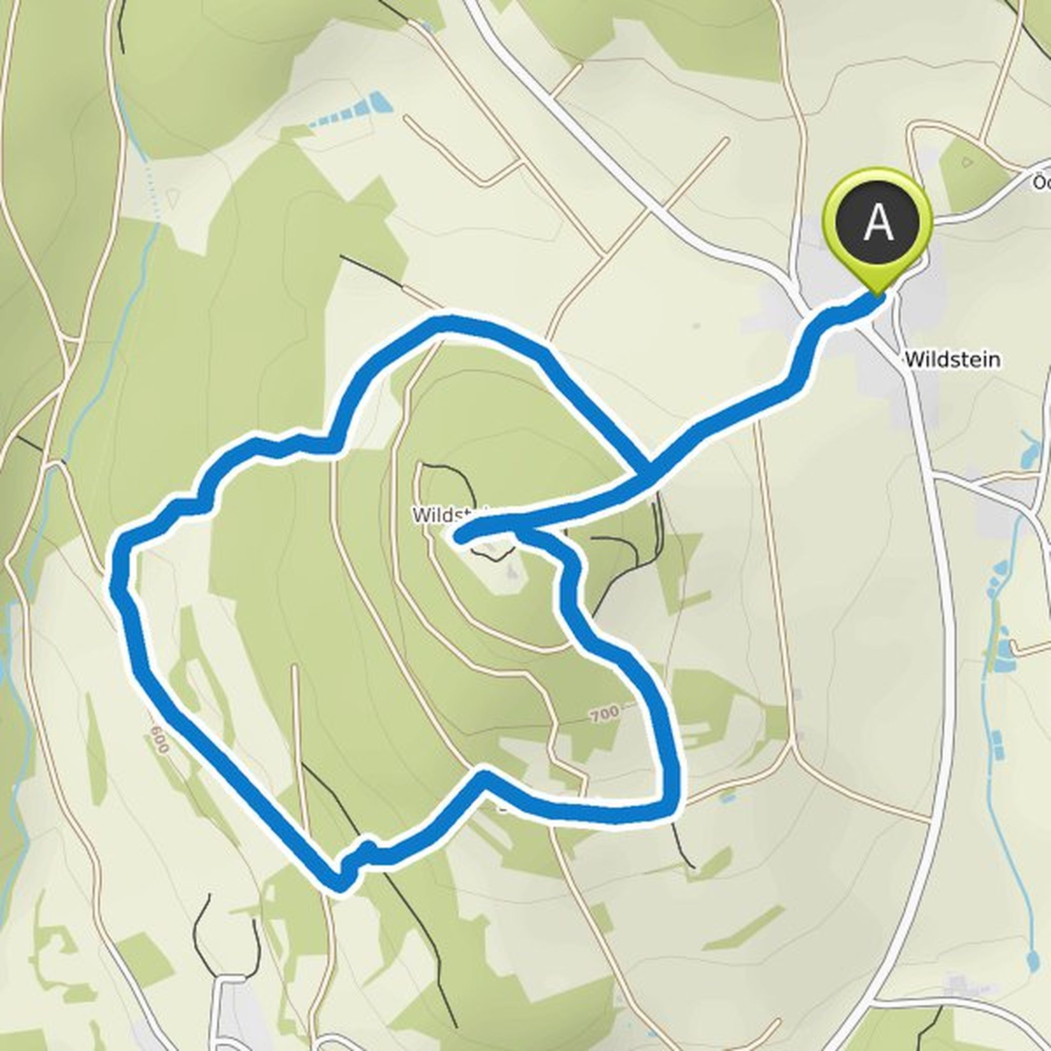
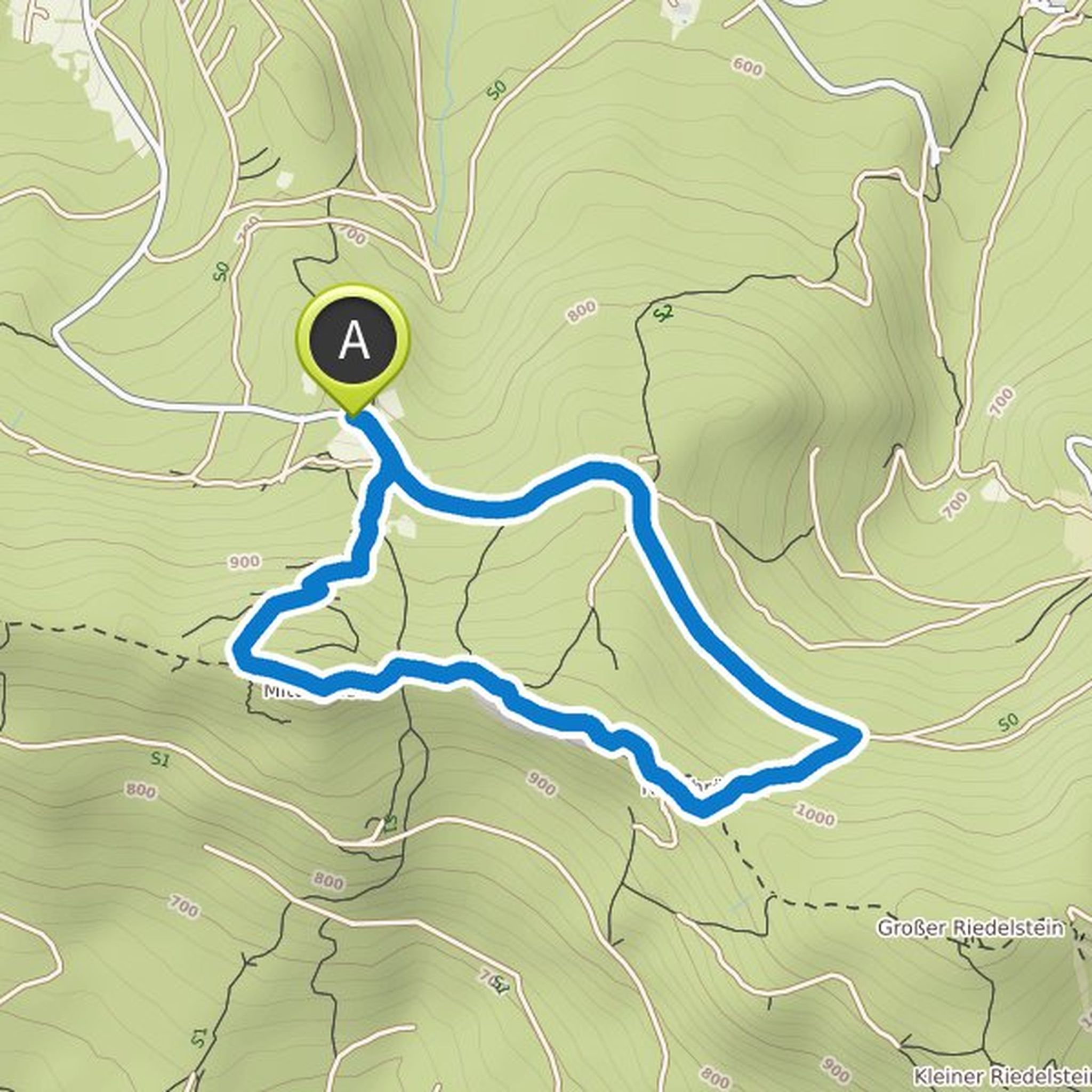
Thomas Vogl planned a hike
August 23, 2022
Time
Distance
Speed
Ascent
Descent
Thomas Vogl planned a hike
August 23, 2022
Time
Distance
Speed
Ascent
Descent
Thomas Vogl planned a mountain bike ride
June 10, 2022
Time
Distance
Speed
Ascent
Descent
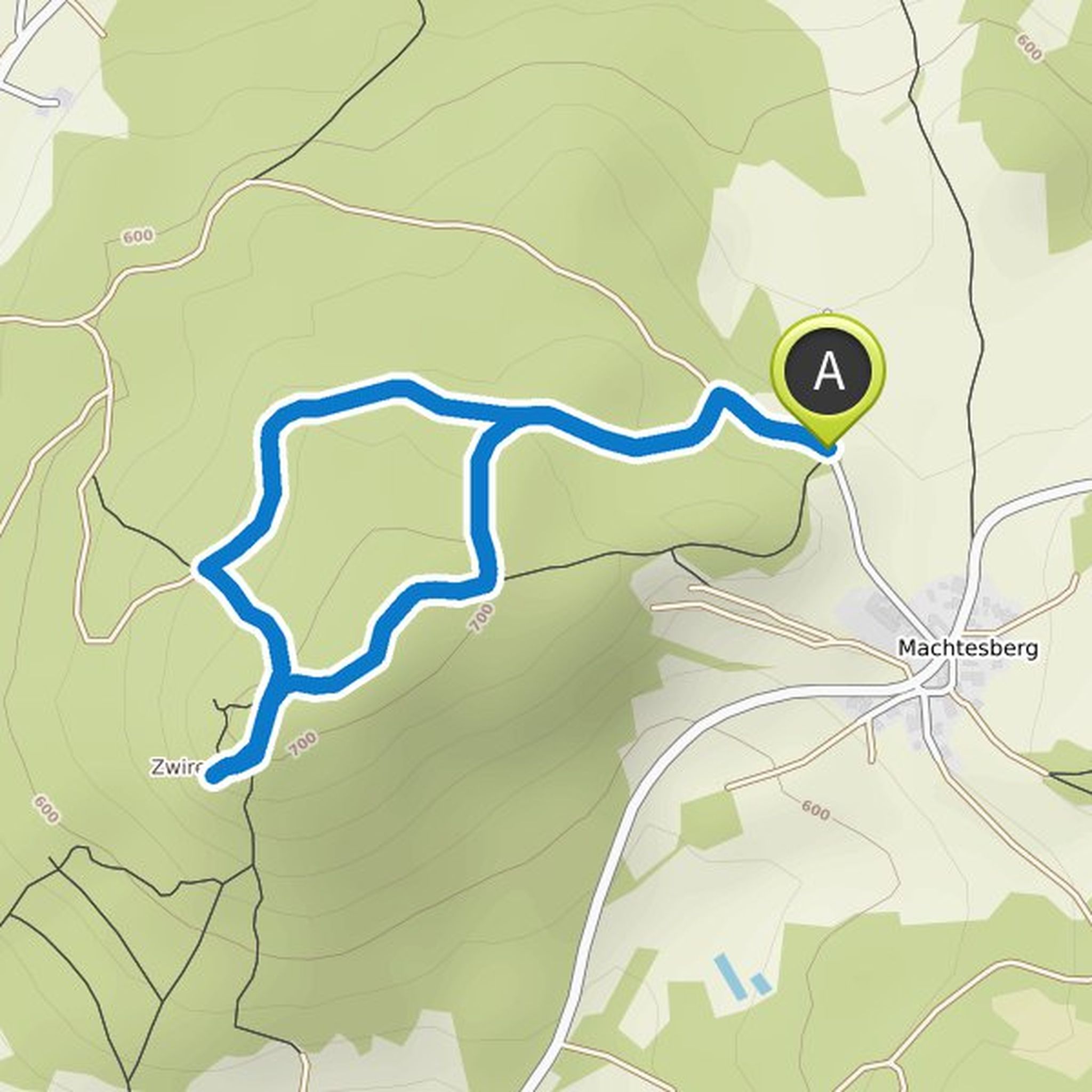
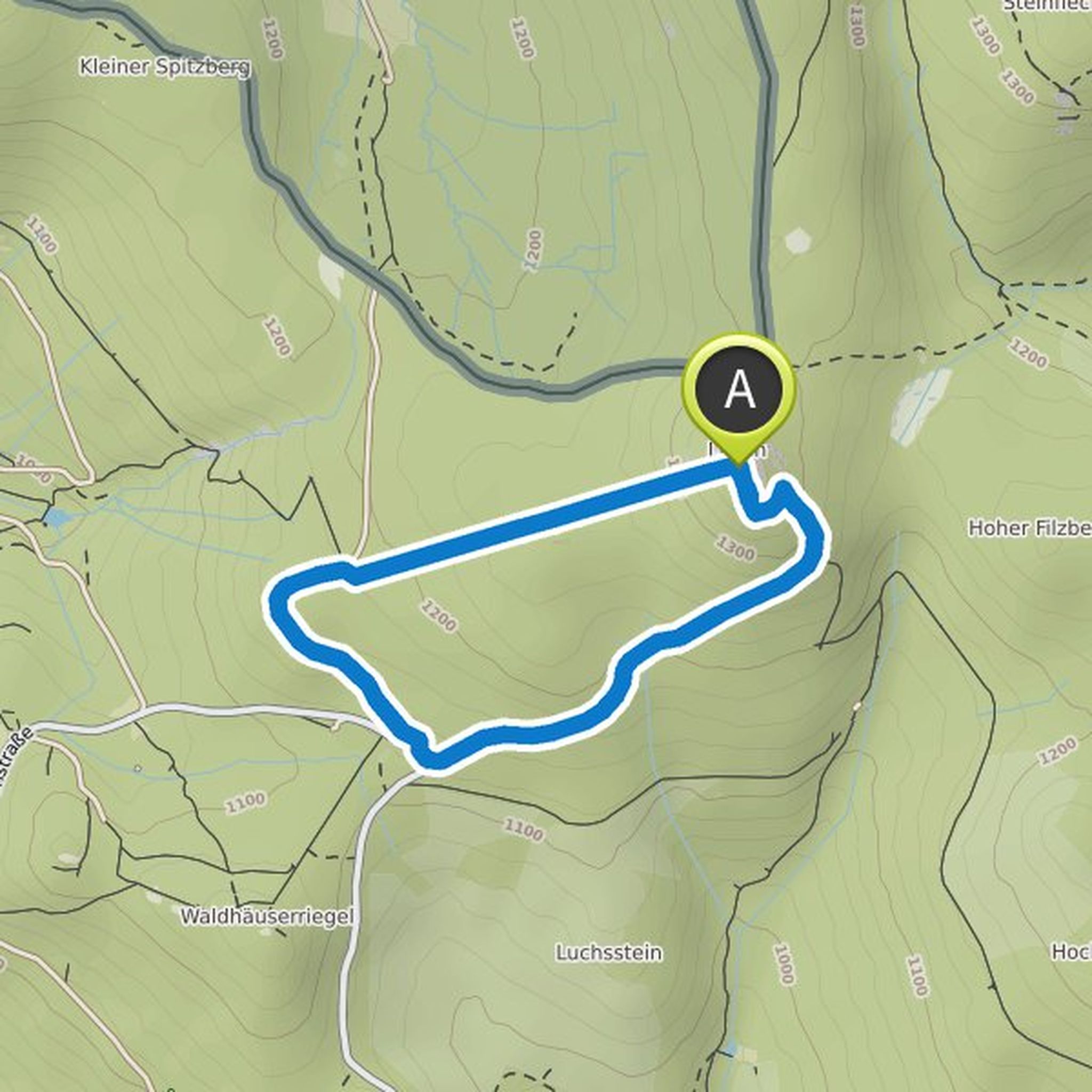
Thomas Vogl planned a hike
October 31, 2021
Time
Distance
Speed
Ascent
Descent
Thomas Vogl planned a hike
October 31, 2021
Time
Distance
Speed
Ascent
Descent
Thomas Vogl planned a hike
October 24, 2021
Time
Distance
Speed
Ascent
Descent
Thomas Vogl planned a hike
October 23, 2021
Time
Distance
Speed
Ascent
Descent
Thomas Vogl planned a hike
October 23, 2021
Time
Distance
Speed
Ascent
Descent
Thomas Vogl planned a hike
October 22, 2021
Time
Distance
Speed
Ascent
Descent
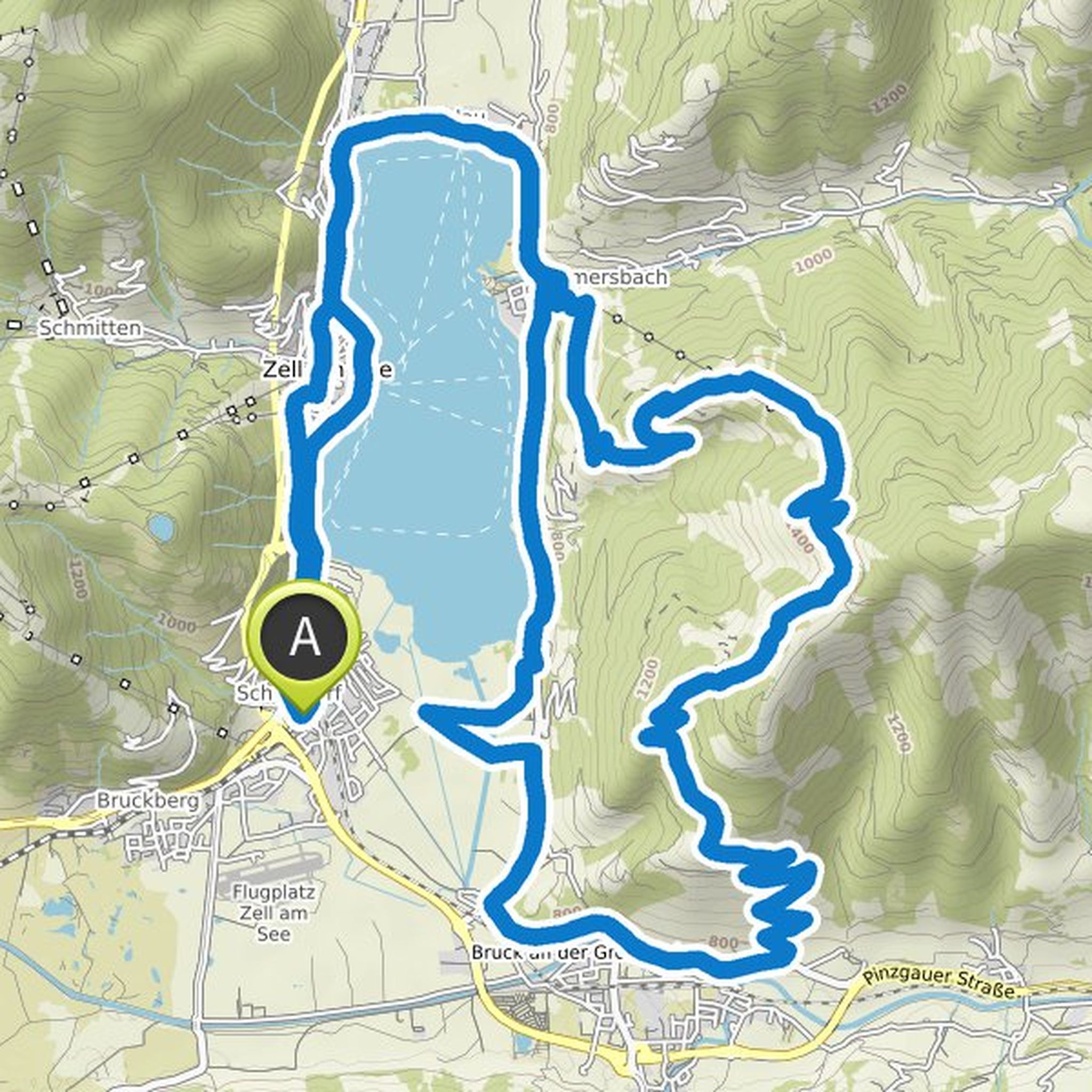
Thomas Vogl planned a mountain bike ride
August 15, 2021
Time
Distance
Speed
Ascent
Descent
Thomas Vogl planned a mountain bike ride
August 15, 2021
Time
Distance
Speed
Ascent
Descent
Thomas Vogl planned a mountain bike ride
August 15, 2021
Time
Distance
Speed
Ascent
Descent
Thomas Vogl planned a mountain bike ride
August 15, 2021
Time
Distance
Speed
Ascent
Descent