Timeline
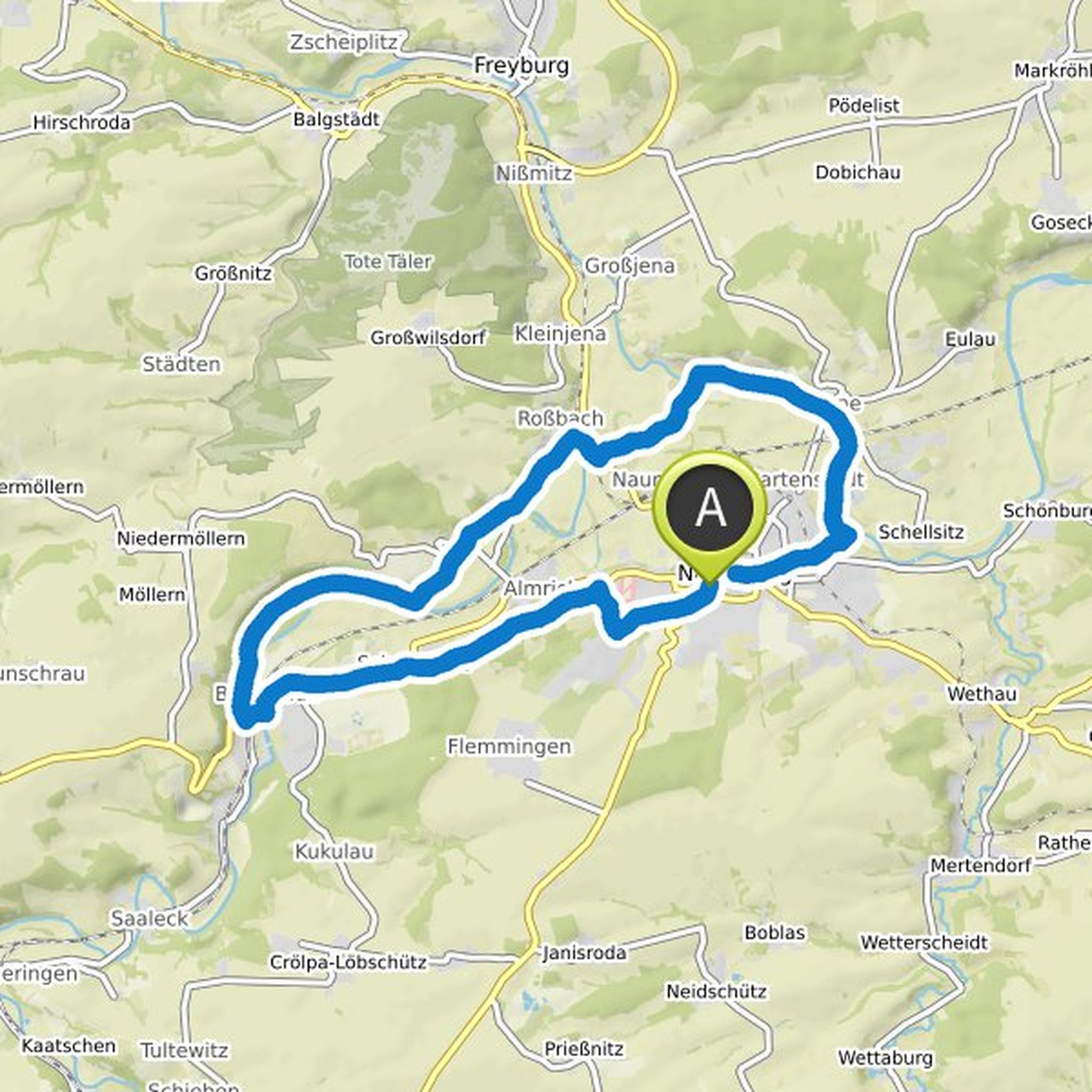
Balthasar and René Schmidt planned a hike
August 19, 2023
Time
3h17m
Distance
11.8km
Speed
3.6km/h
Ascent
220m
Descent
220m
Map data © OpenStreetMap contributors
René Schmidt likes this.
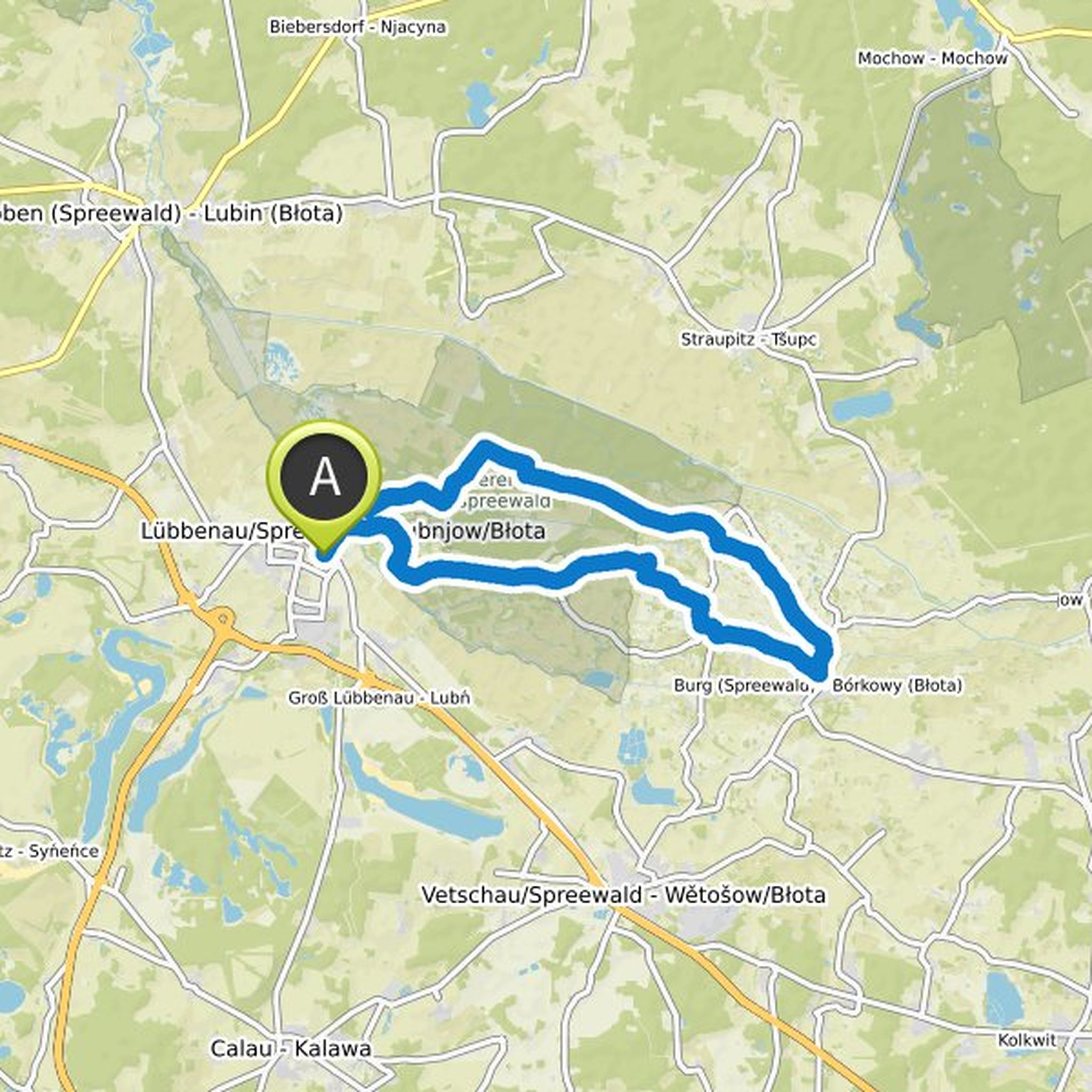
Time
2h47m
Distance
10.1km
Speed
3.6km/h
Ascent
160m
Descent
160m
Map data © OpenStreetMap contributors
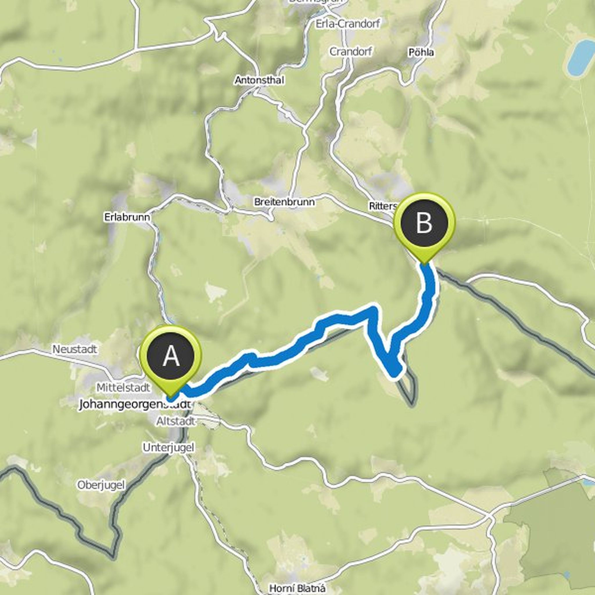
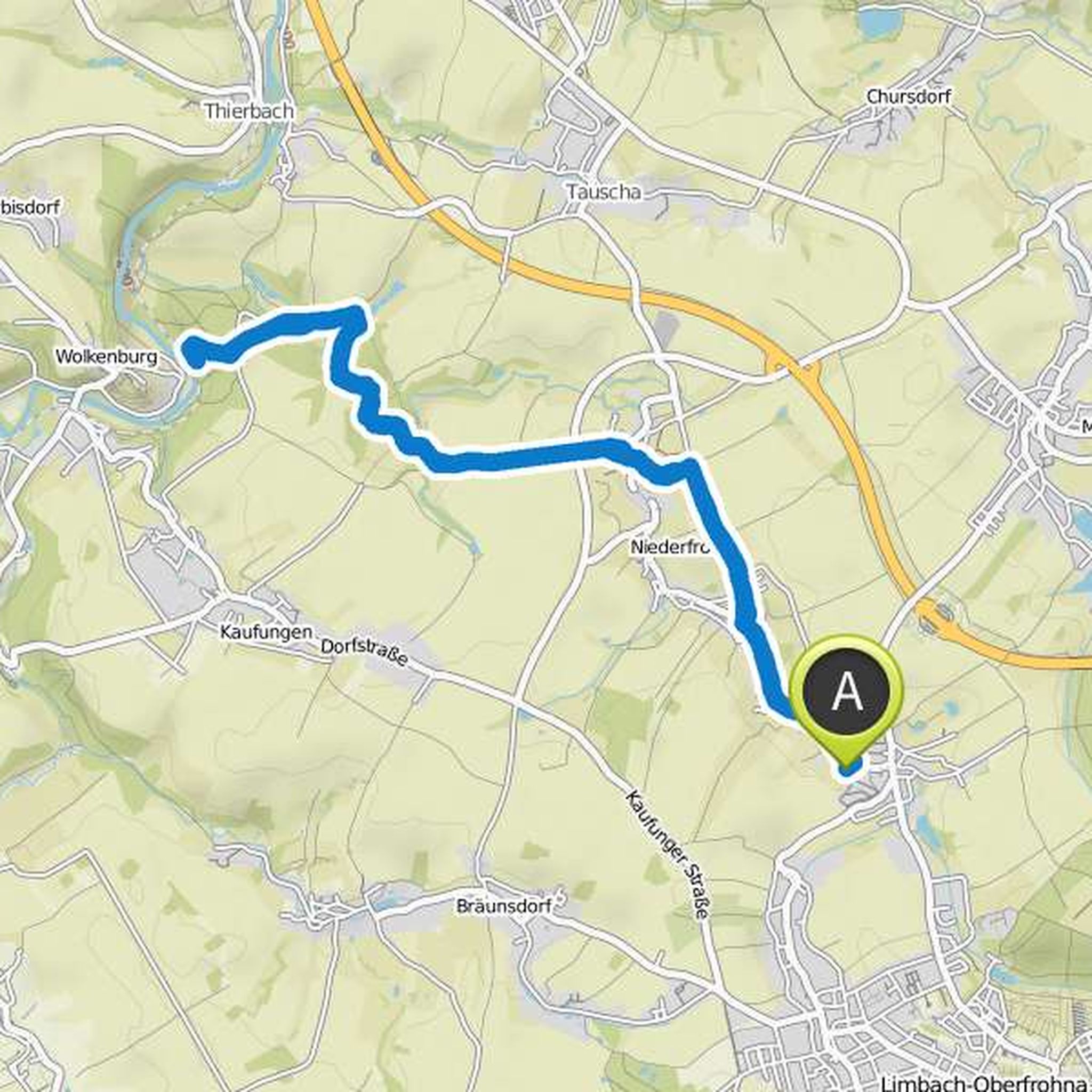
Balthasar planned a bike ride
August 18, 2020
Time
1h34m
Distance
23.9km
Speed
15.2km/h
Ascent
180m
Descent
180m
Map data © OpenStreetMap contributors
Balthasar planned a bike ride
July 21, 2020
Time
2h07m
Distance
35.5km
Speed
16.7km/h
Ascent
70m
Descent
70m
Map data © OpenStreetMap contributors
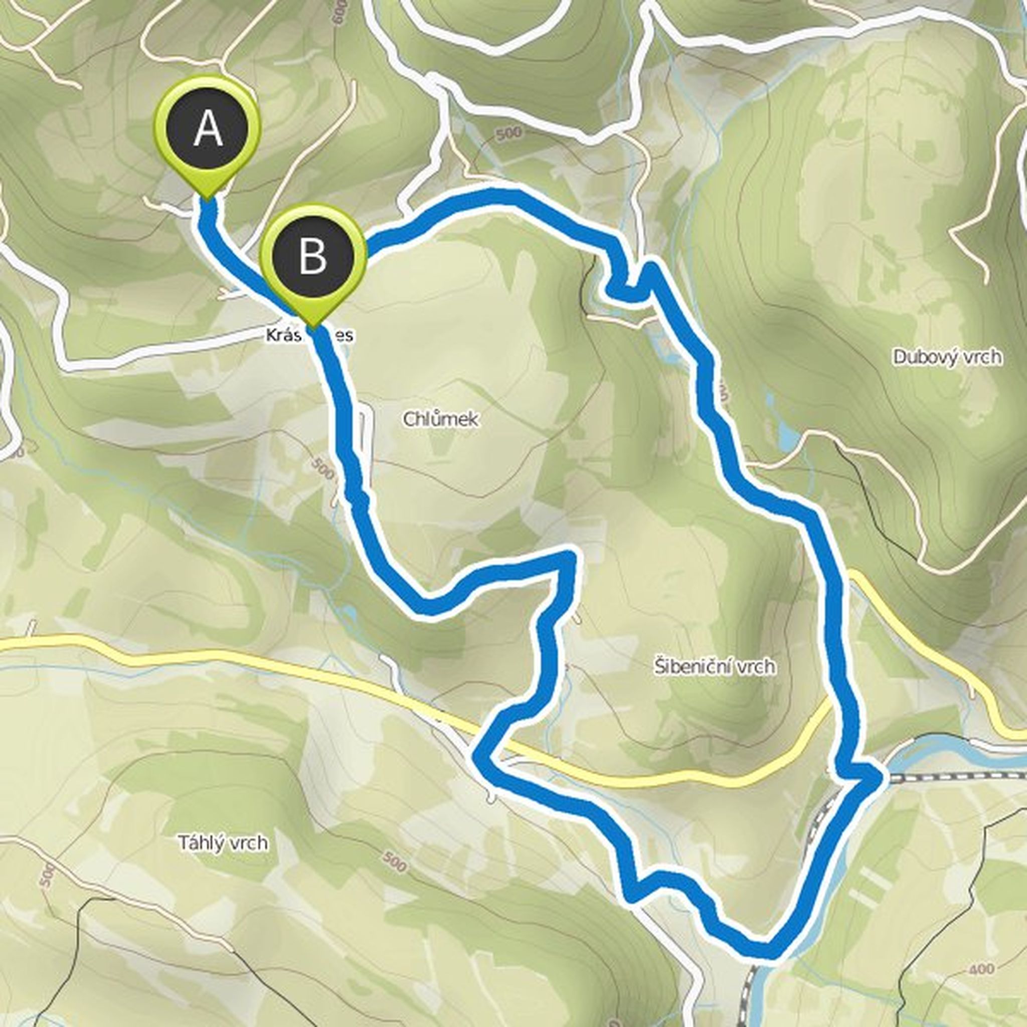
Balthasar and Torsten Weiß planned a hike
March 7, 2019
Time
3h35m
Distance
12.4km
Speed
3.5km/h
Ascent
260m
Descent
360m
Map data © OpenStreetMap contributors
Balthasar and others planned a hike
August 19, 2018
Time
3h11m
Distance
9.28km
Speed
2.9km/h
Ascent
210m
Descent
260m
Map data © OpenStreetMap contributors
Time
4h45m
Distance
14.7km
Speed
3.1km/h
Ascent
180m
Descent
180m
Map data © OpenStreetMap contributors
August 19, 2023
We only leave out the place with snow 😁😁😁
Translated by Google •