Timeline
Christin planned a hike
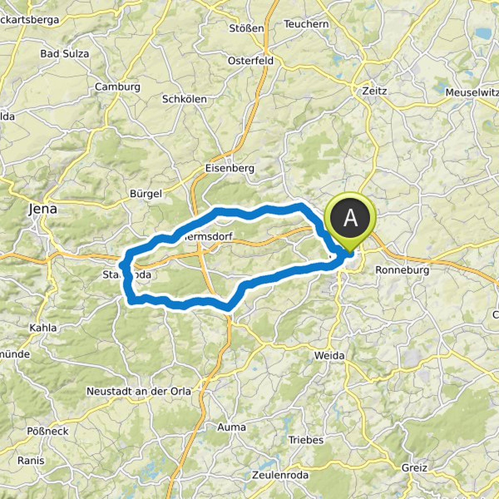
January 21, 2023
Time
5h13m
Distance
18.8km
Speed
3.6km/h
Ascent
340m
Descent
340m
Map data © OpenStreetMap contributors
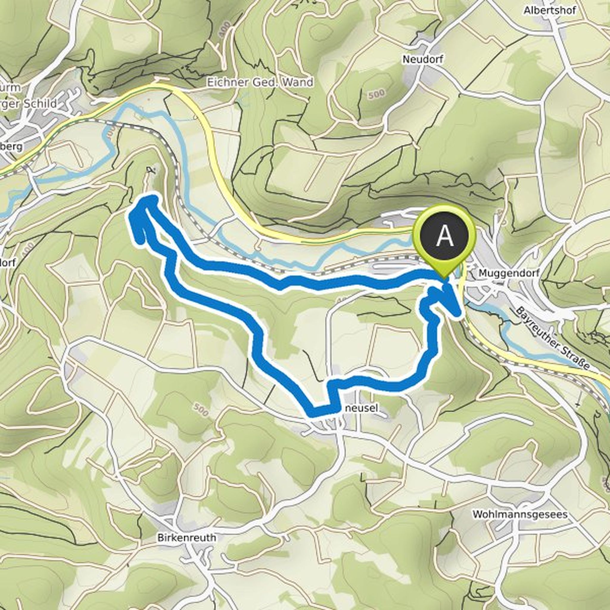
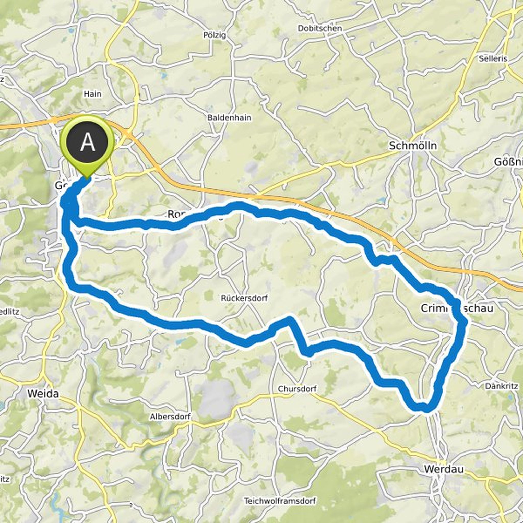
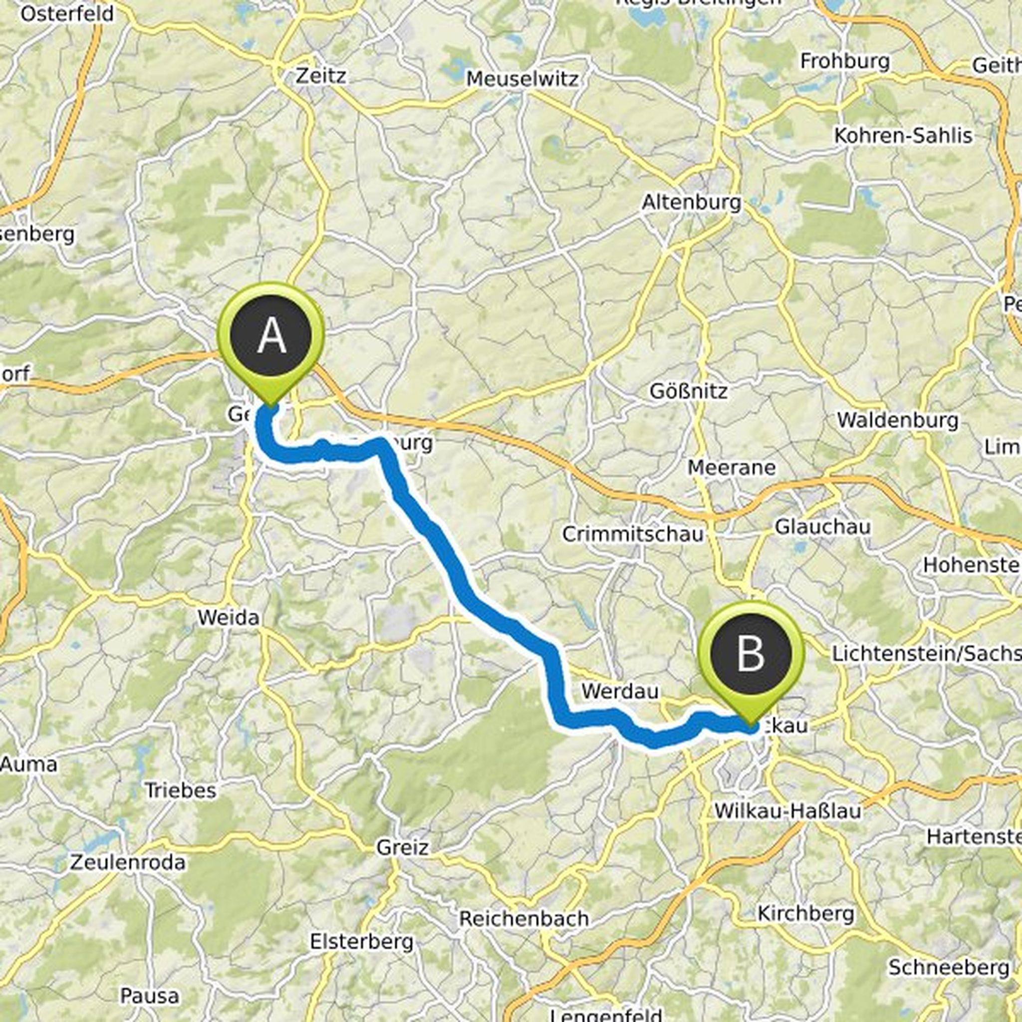
Jens Stahlberg and others planned a hike
November 10, 2020
Time
4h53m
Distance
16.8km
Speed
3.4km/h
Ascent
440m
Descent
440m

Map data © OpenStreetMap contributors
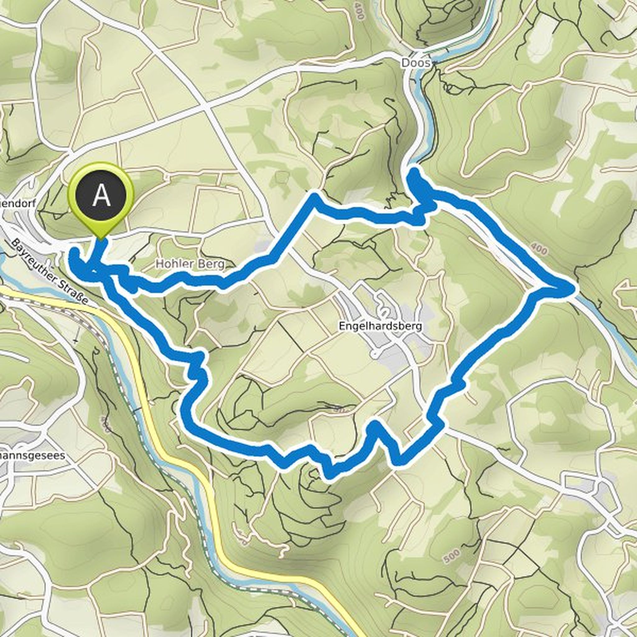
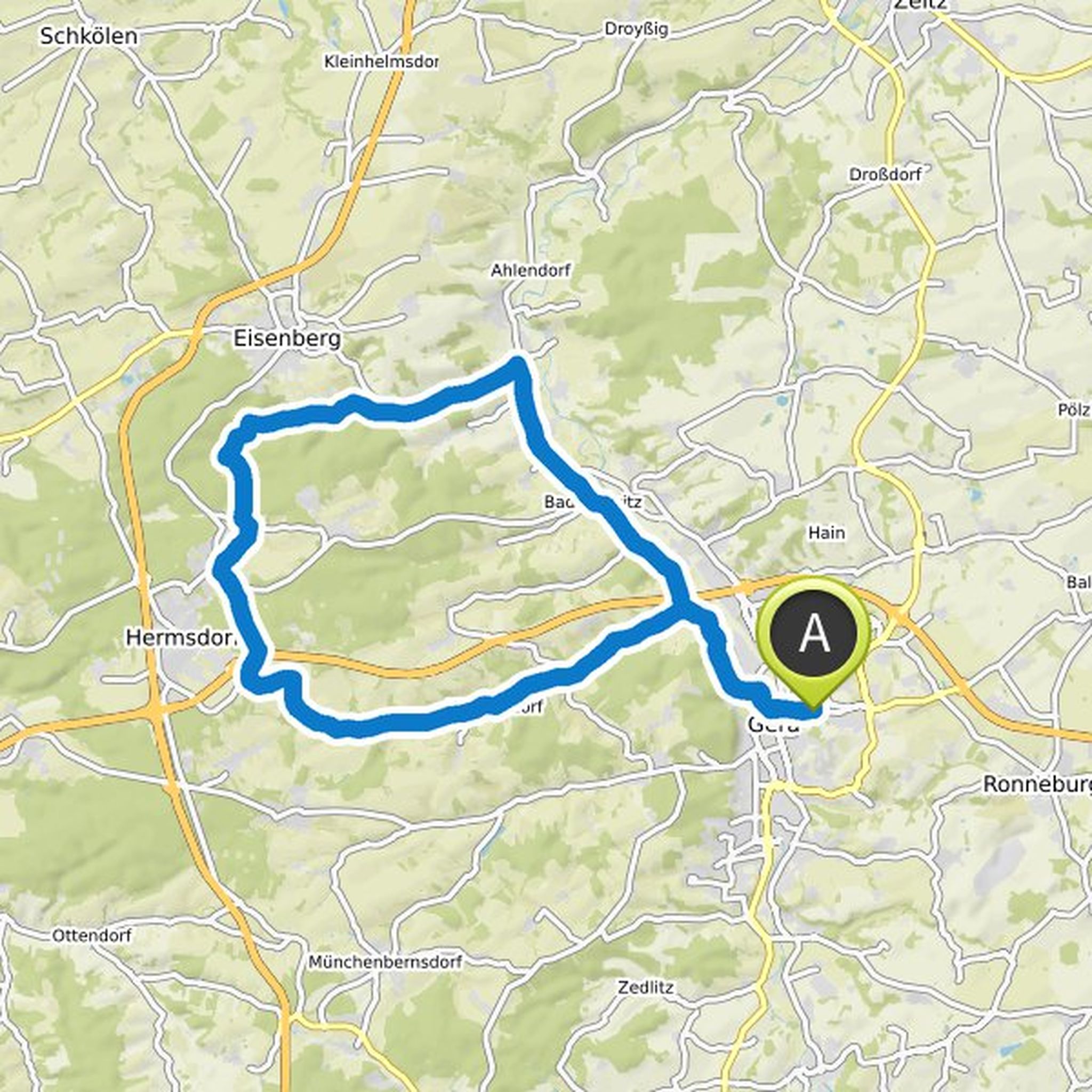
Christin planned a hike
October 28, 2020
Time
3h38m
Distance
12.5km
Speed
3.5km/h
Ascent
310m
Descent
310m

Map data © OpenStreetMap contributors
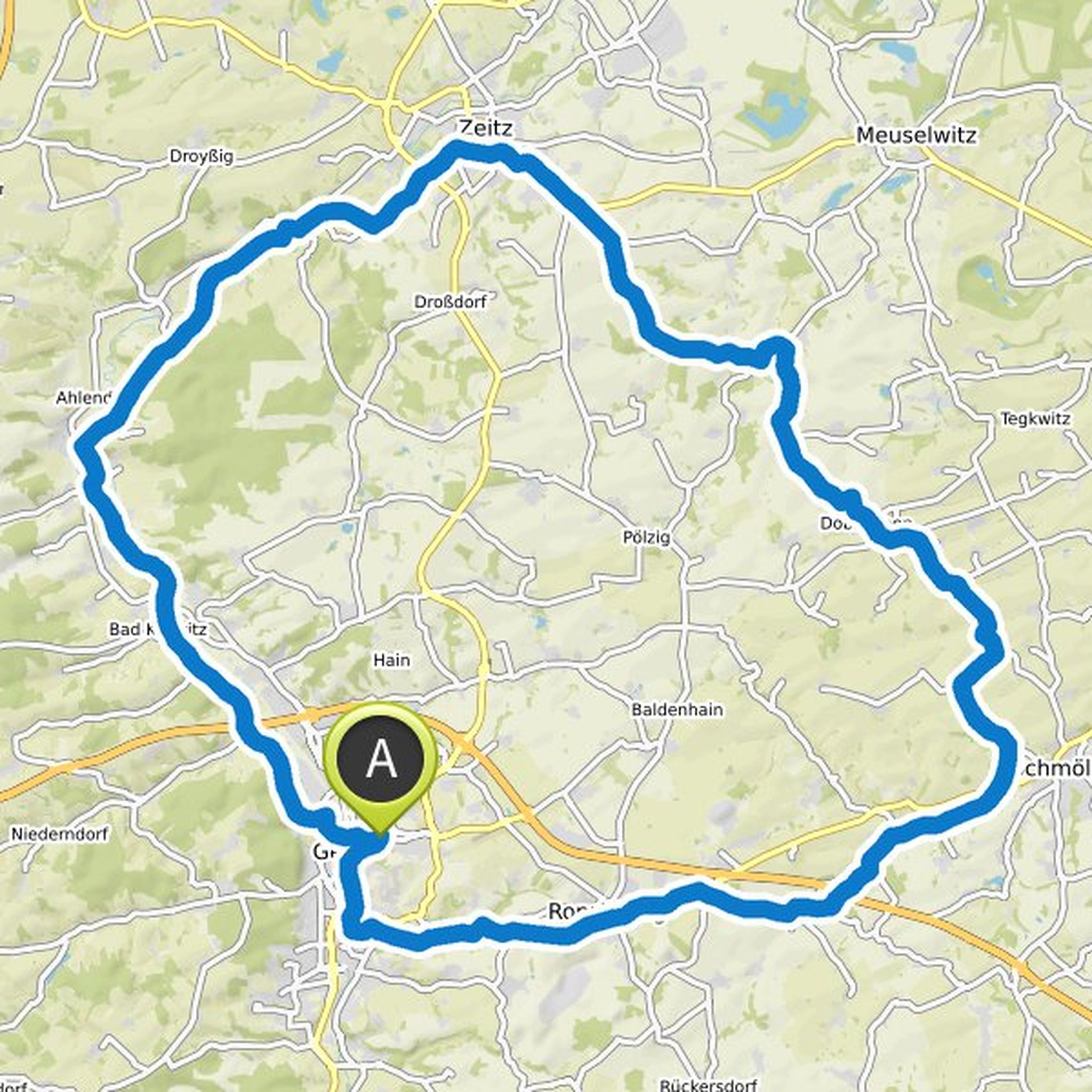
Jens Stahlberg and Christin planned a hike
June 18, 2020
Time
17h21m
Distance
59.9km
Speed
3.4km/h
Ascent
1,750m
Descent
1,130m

Map data © OpenStreetMap contributors
Time
1h54m
Distance
6.48km
Speed
3.4km/h
Ascent
180m
Descent
170m
Map data © OpenStreetMap contributors
Time
3h13m
Distance
10.7km
Speed
3.3km/h
Ascent
340m
Descent
340m
Map data © OpenStreetMap contributors
Time
3h34m
Distance
78.3km
Speed
21.9km/h
Ascent
670m
Descent
670m
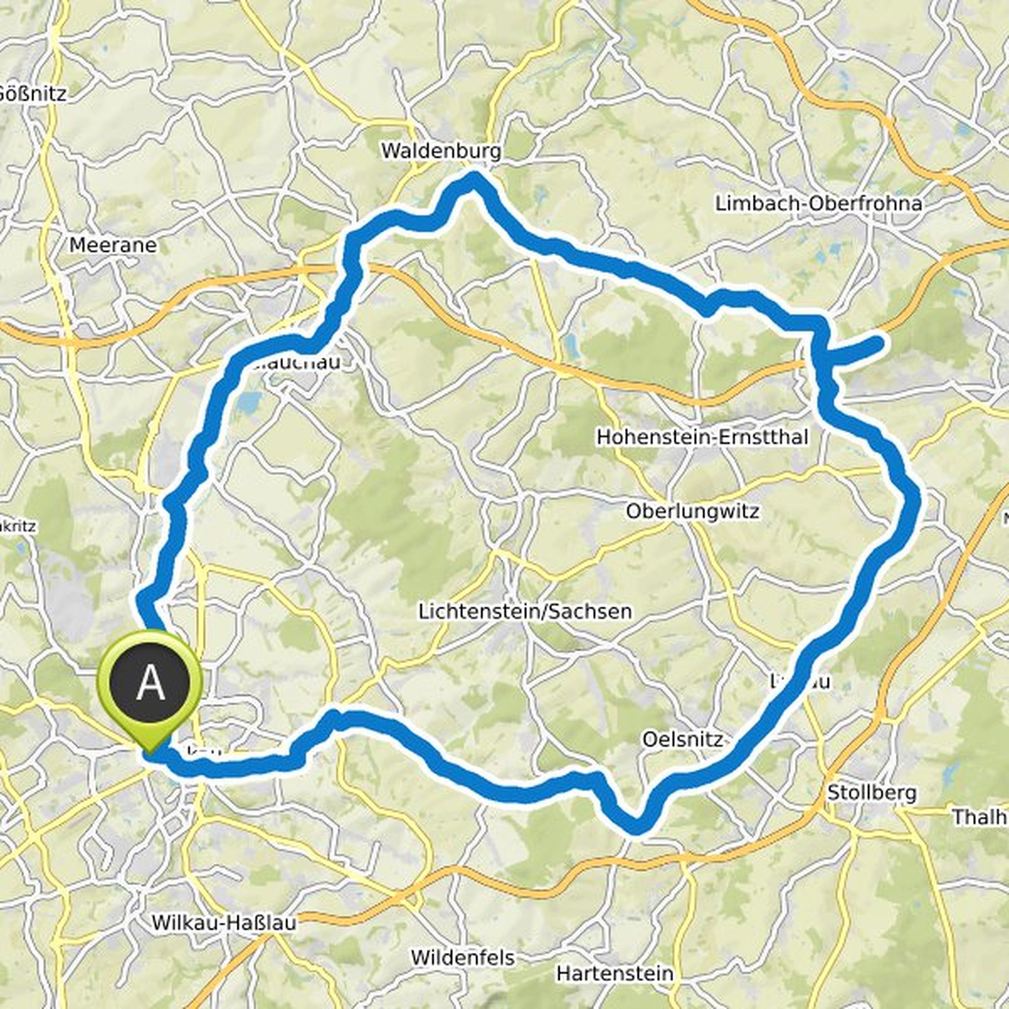
Map data © OpenStreetMap contributors
Time
4h34m
Distance
102km
Speed
22.2km/h
Ascent
960m
Descent
960m
Map data © OpenStreetMap contributors
Jens Stahlberg likes this.
Time
3h08m
Distance
69.1km
Speed
22.0km/h
Ascent
510m
Descent
510m
Map data © OpenStreetMap contributors
Time
2h14m
Distance
50.7km
Speed
22.7km/h
Ascent
380m
Descent
370m
Map data © OpenStreetMap contributors
Christin planned a road ride
April 9, 2020
Time
2h29m
Distance
52.7km
Speed
21.2km/h
Ascent
550m
Descent
490m

Map data © OpenStreetMap contributors
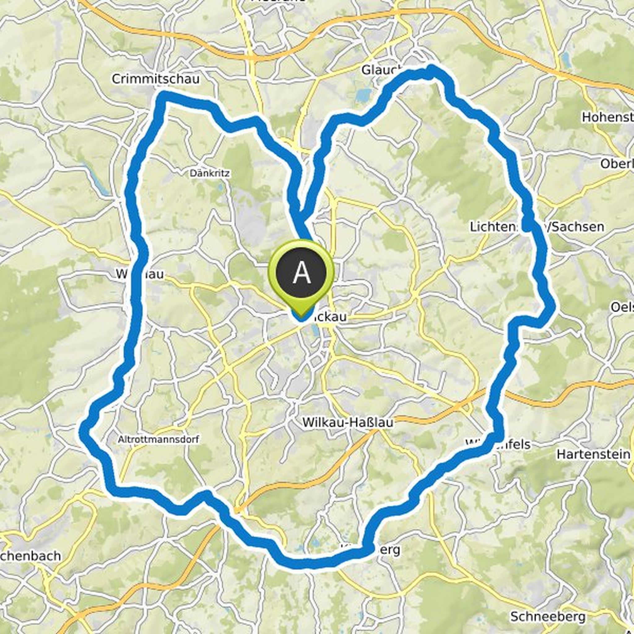
Time
4h09m
Distance
84.8km
Speed
20.4km/h
Ascent
730m
Descent
730m
Map data © OpenStreetMap contributors
Time
2h44m
Distance
59.1km
Speed
21.6km/h
Ascent
620m
Descent
670m
Map data © OpenStreetMap contributors
Time
2h18m
Distance
43.4km
Speed
18.9km/h
Ascent
420m
Descent
360m
Map data © OpenStreetMap contributors
Time
3h13m
Distance
69.3km
Speed
21.6km/h
Ascent
630m
Descent
630m
Map data © OpenStreetMap contributors
November 10, 2020
I left out the white cross because we already know the assignment there from # 1.
Translated by Google •