Timeline
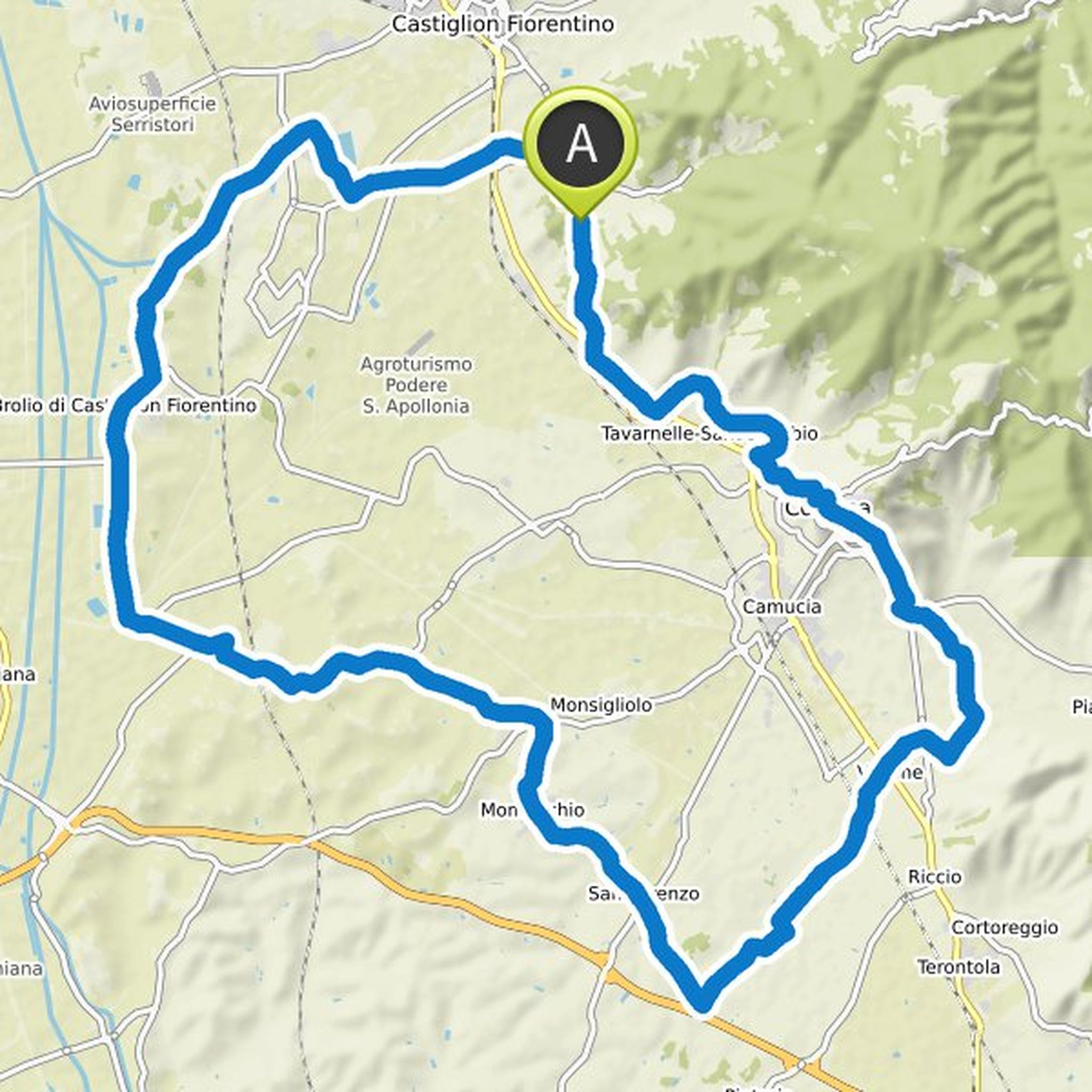
Mike Maurer planned a hike
October 9, 2022
Time
Distance
Speed
Ascent
Descent
Mike Maurer planned a hike
October 9, 2022
Time
Distance
Speed
Ascent
Descent
Mike Maurer planned a hike
October 7, 2022
Time
Distance
Speed
Ascent
Descent
Mike Maurer planned a hike
September 20, 2022
Time
Distance
Speed
Ascent
Descent
Mike Maurer planned a hike
September 18, 2022
Time
Distance
Speed
Ascent
Descent
Mike Maurer planned a hike
September 11, 2022
Time
Distance
Speed
Ascent
Descent
Mike Maurer planned a hike
September 10, 2022
Time
Distance
Speed
Ascent
Descent
Mike Maurer planned a hike
September 10, 2022
Time
Distance
Speed
Ascent
Descent
Mike Maurer planned a hike
August 12, 2022
Time
Distance
Speed
Ascent
Descent
Mike Maurer planned a hike
July 23, 2022
Time
Distance
Speed
Ascent
Descent
Mike Maurer planned a hike
July 23, 2022
Time
Distance
Speed
Ascent
Descent
Mike Maurer planned a hike
July 23, 2022
Time
Distance
Speed
Ascent
Descent
Mike Maurer planned a hike
June 9, 2022
Time
Distance
Speed
Ascent
Descent
Mike Maurer planned a hike
June 9, 2022
Time
Distance
Speed
Ascent
Descent
Mike Maurer planned a bike ride
October 10, 2019
Time
Distance
Speed
Ascent
Descent