Timeline
Time
Distance
Speed
Ascent
Descent
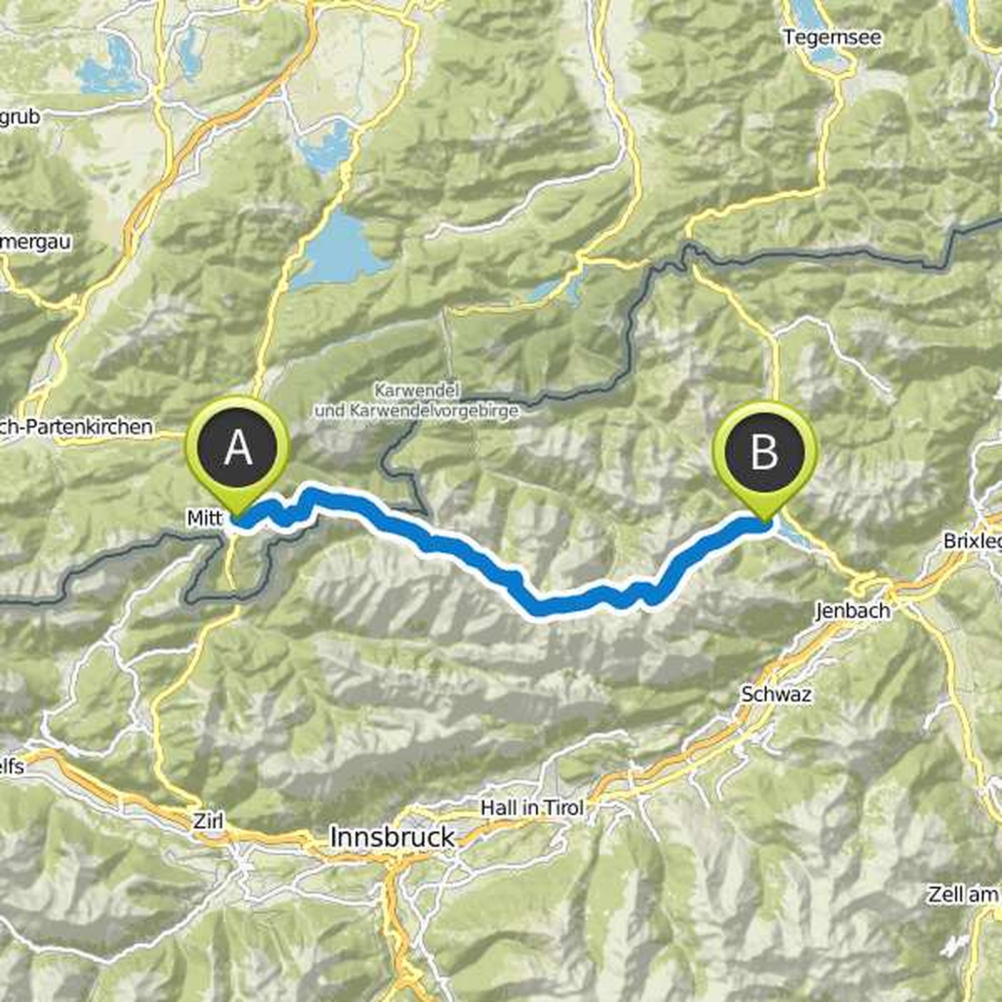
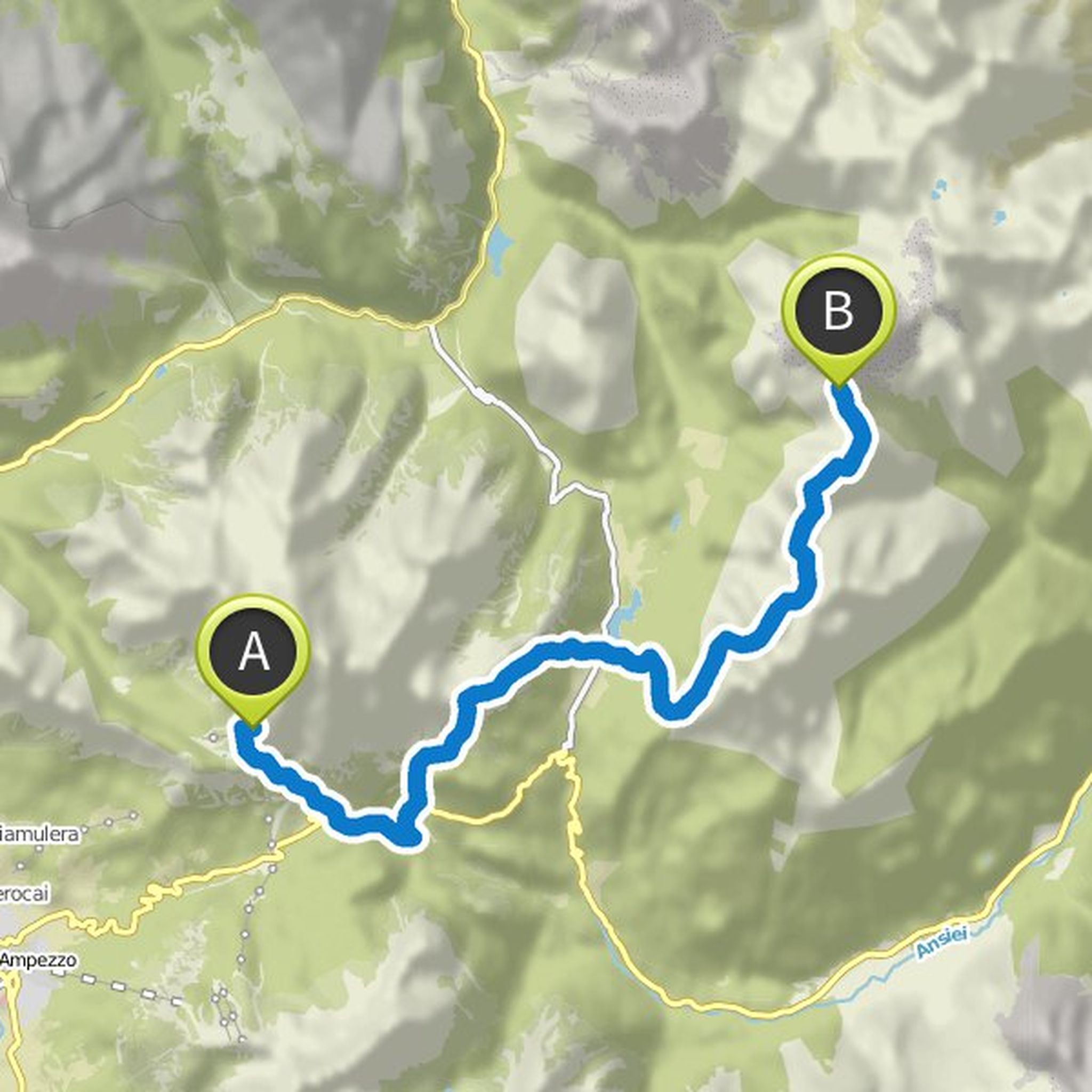
maz planned a hike
August 19, 2019
Time
Distance
Speed
Ascent
Descent
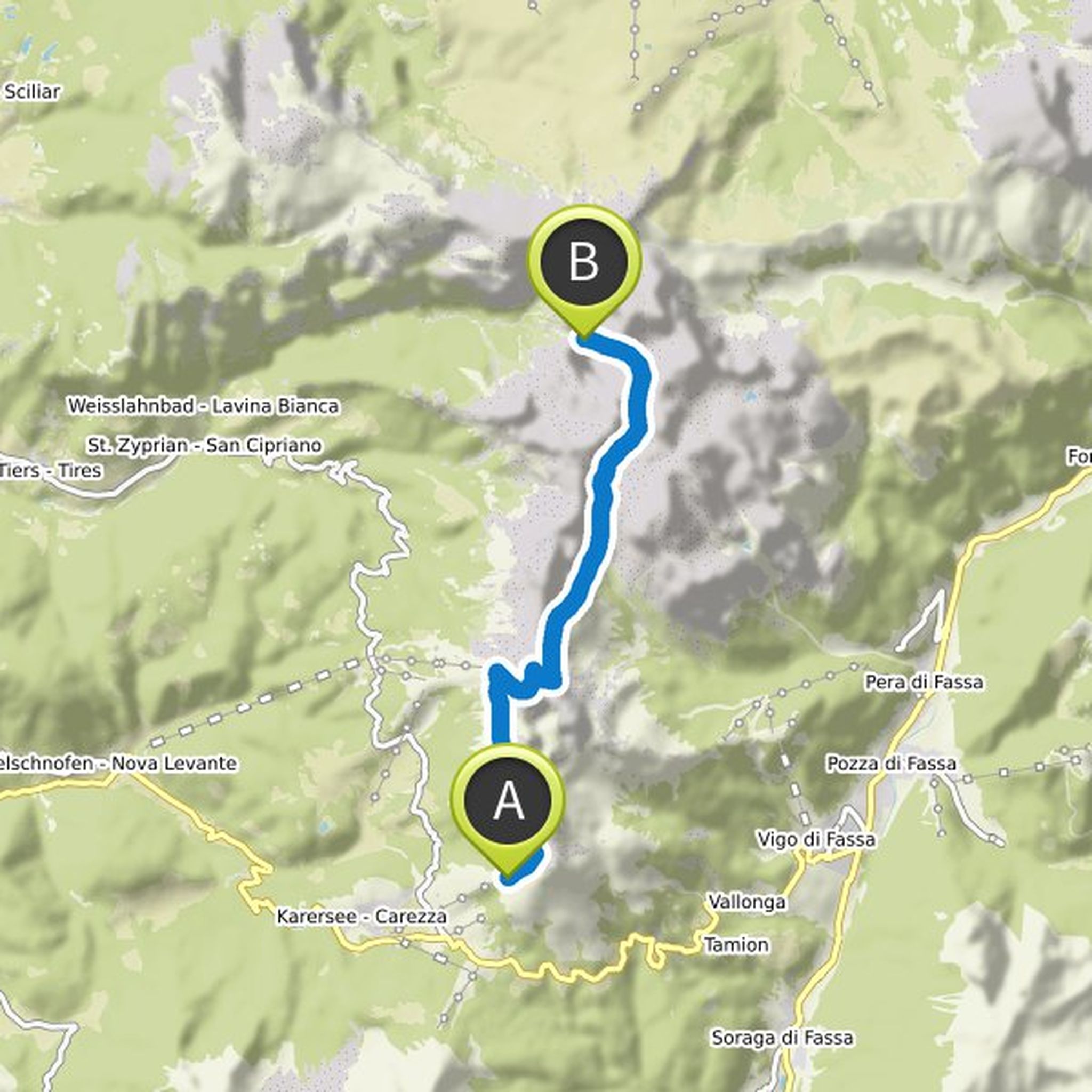
maz planned a hike
August 9, 2019
Time
Distance
Speed
Ascent
Descent
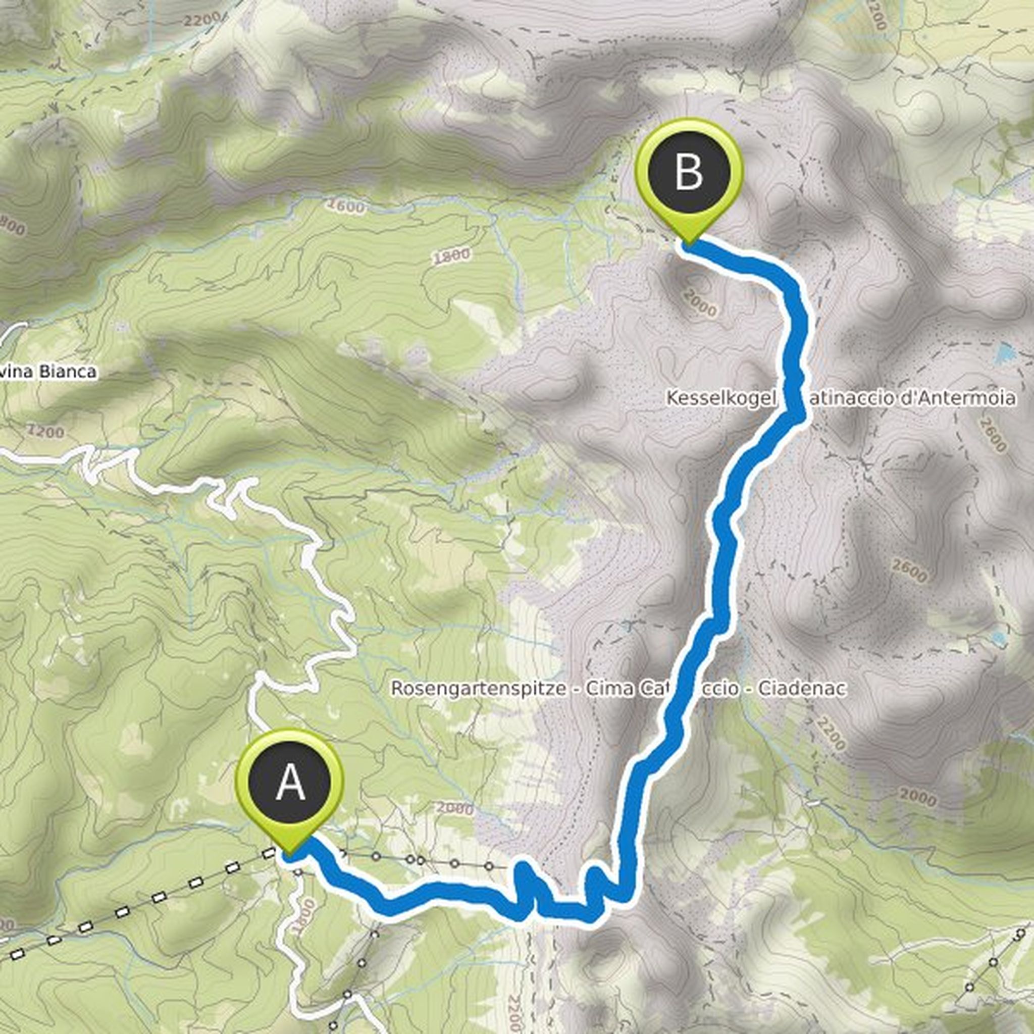
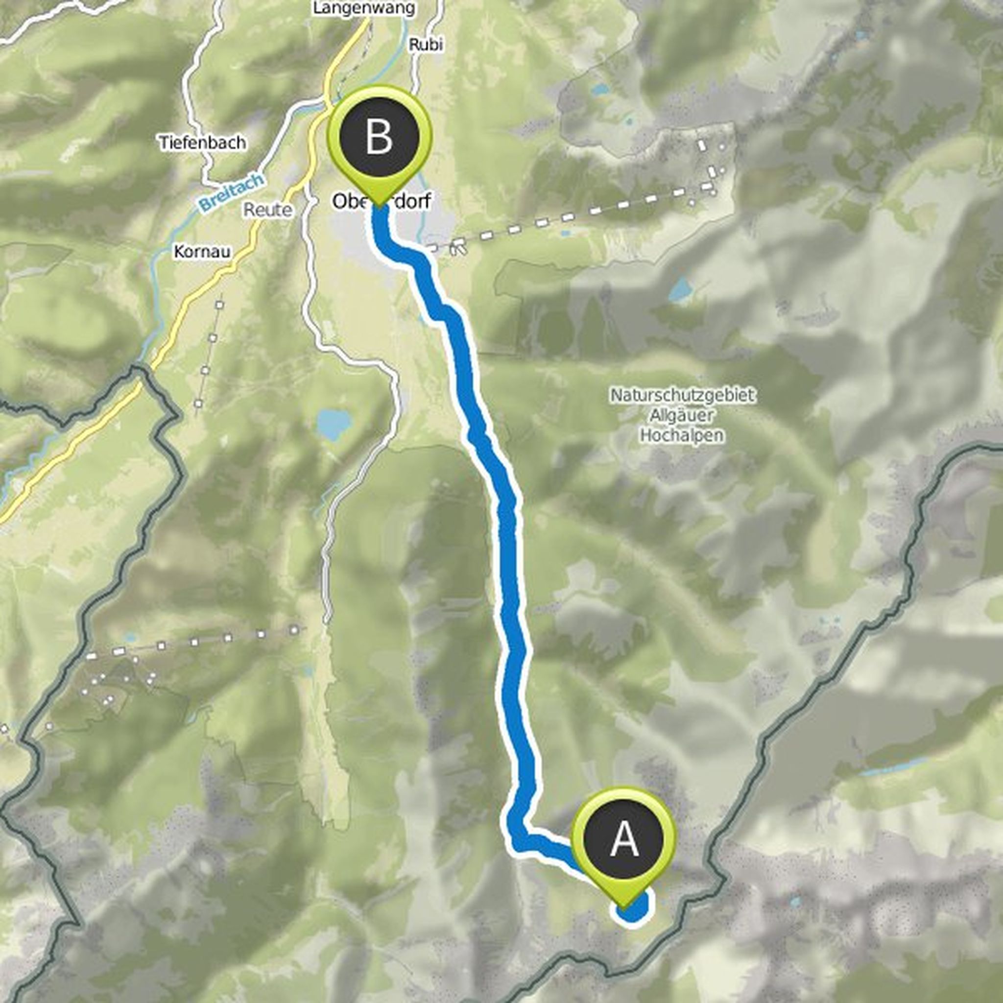
maz planned a hike
February 20, 2019
Time
Distance
Speed
Ascent
Descent
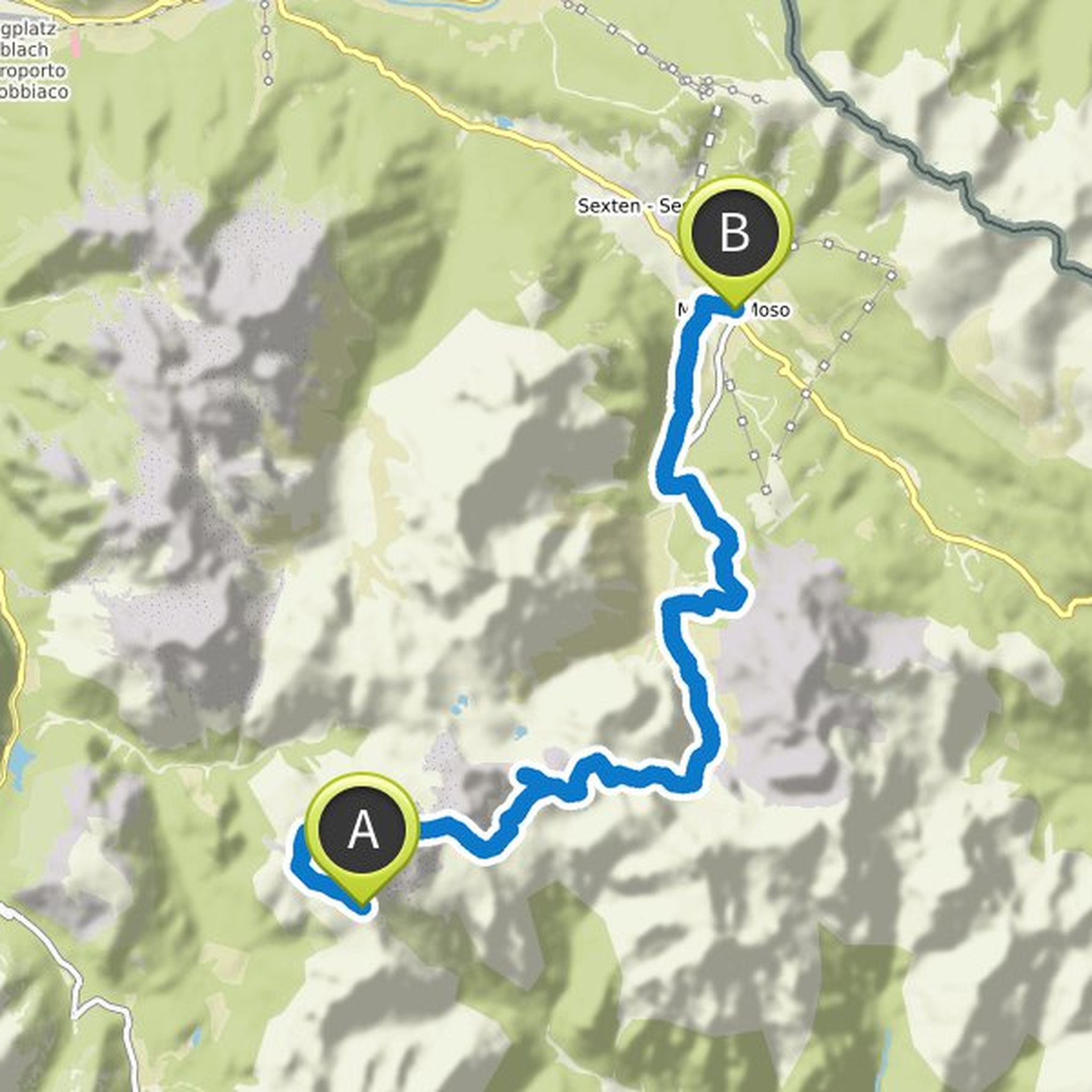
maz planned a hike
January 21, 2019
Time
Distance
Speed
Ascent
Descent
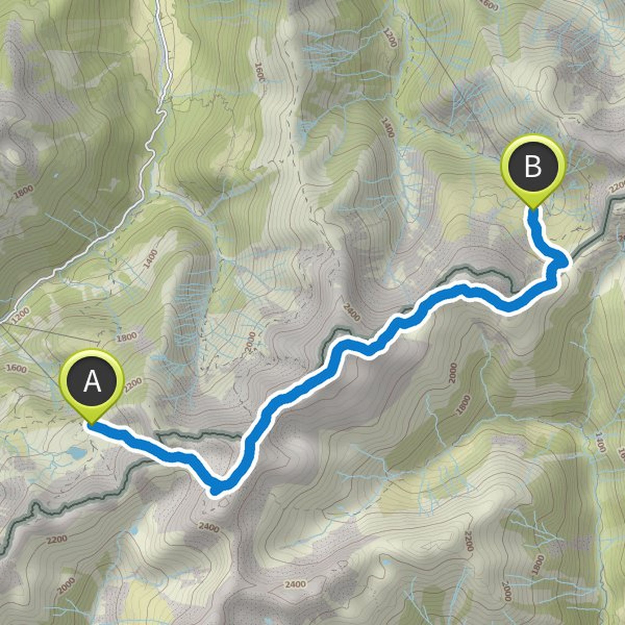
maz planned a hike
January 20, 2019
Time
Distance
Speed
Ascent
Descent

maz planned a hike
January 20, 2019
Time
Distance
Speed
Ascent
Descent
Time
Distance
Speed
Ascent
Descent
maz planned a hike
January 20, 2019
Time
Distance
Speed
Ascent
Descent
maz planned a hike
August 25, 2018
Time
Distance
Speed
Ascent
Descent
maz planned a hike
August 25, 2018
Time
Distance
Speed
Ascent
Descent
maz planned a hike
August 25, 2018
Time
Distance
Speed
Ascent
Descent
maz planned a mountaineering activity
June 22, 2018
Time
Distance
Speed
Ascent
Descent
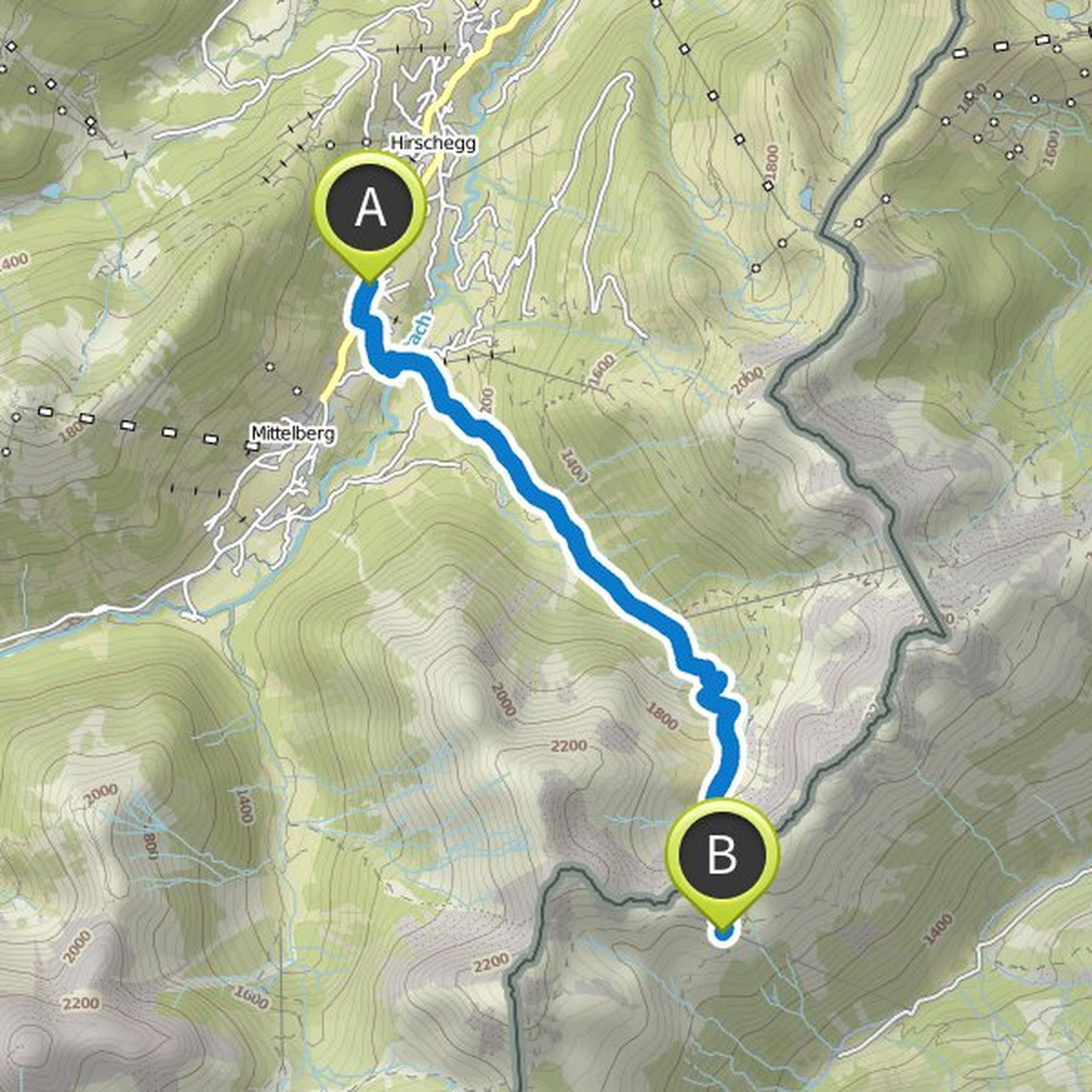
maz planned a hike
June 17, 2018
Time
Distance
Speed
Ascent
Descent