Timeline
Max and others planned a hike
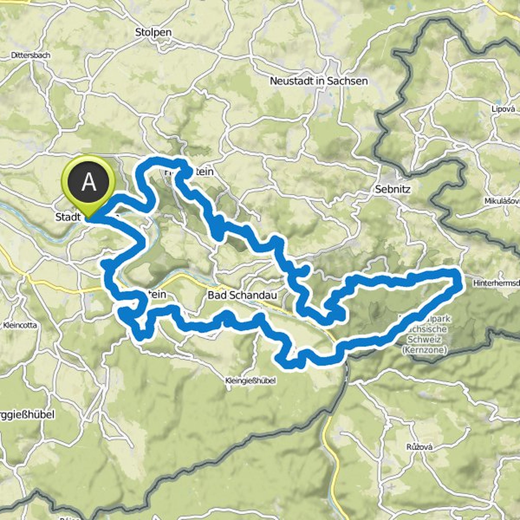
March 28, 2023
Time
27h17m
Distance
63.6km
Speed
2.3km/h
Ascent
3,610m
Descent
4,090m
Map data © OpenStreetMap contributors
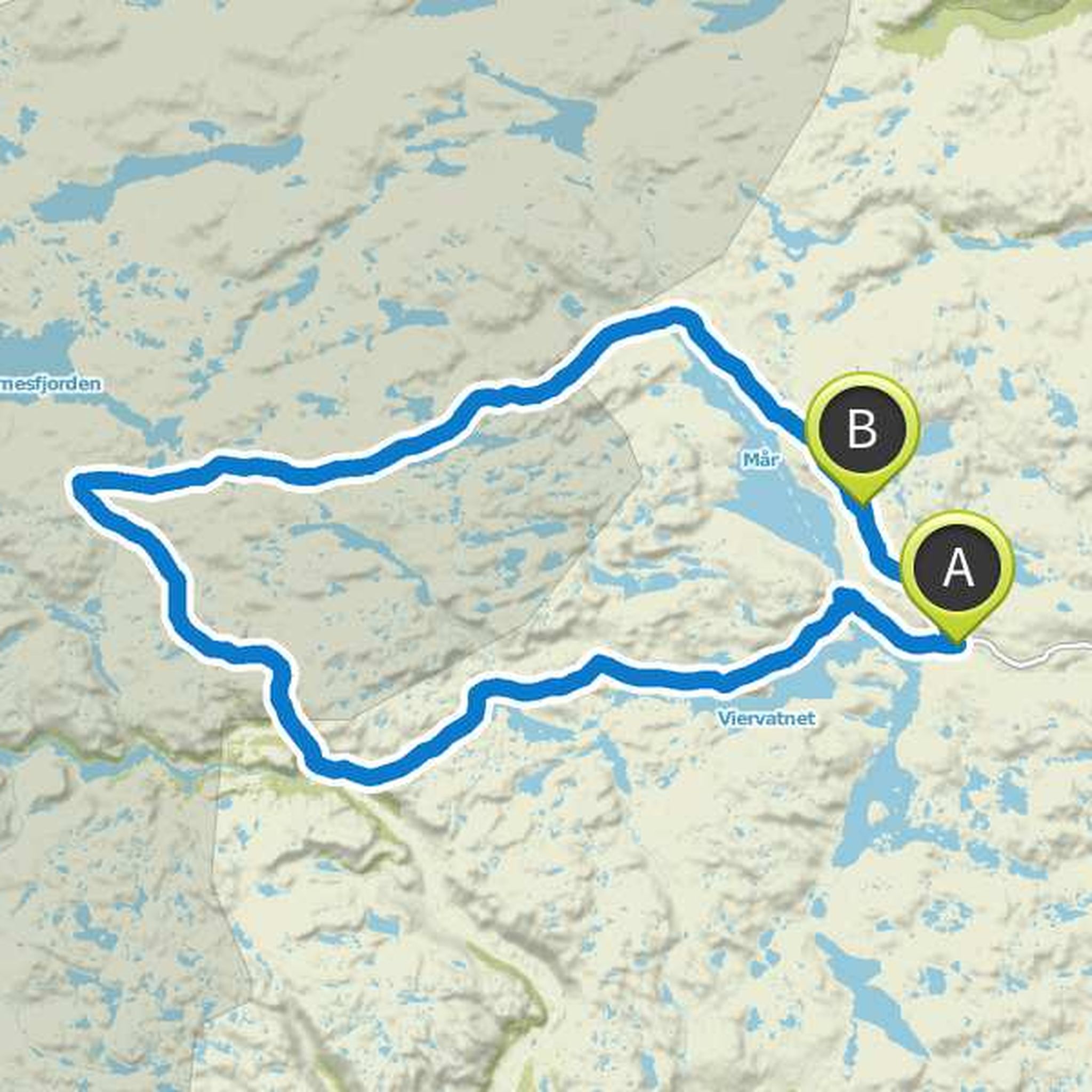
Time
17h22m
Distance
56.3km
Speed
3.2km/h
Ascent
1,840m
Descent
1,840m

Map data © OpenStreetMap contributors
Time
30h34m
Distance
101km
Speed
3.3km/h
Ascent
3,050m
Descent
3,050m
Map data © OpenStreetMap contributors
Max planned a hike
February 5, 2019
Time
34h58m
Distance
117km
Speed
3.4km/h
Ascent
3,190m
Descent
3,210m

Map data © OpenStreetMap contributors
Max planned a hike
January 29, 2019
Time
30h10m
Distance
104km
Speed
3.4km/h
Ascent
2,470m
Descent
2,480m

Map data © OpenStreetMap contributors
Max planned a hike
September 1, 2018
Time
3h31m
Distance
14.0km
Speed
4.0km/h
Ascent
220m
Descent
220m

Map data © OpenStreetMap contributors
Time
29h15m
Distance
65.0km
Speed
2.2km/h
Ascent
3,390m
Descent
3,390m

Map data © OpenStreetMap contributors
Time
35h20m
Distance
58.7km
Speed
1.7km/h
Ascent
4,880m
Descent
4,880m

Map data © OpenStreetMap contributors
Max planned a hike
April 16, 2018
Time
24h42m
Distance
86.2km
Speed
3.5km/h
Ascent
1,990m
Descent
1,990m

Map data © OpenStreetMap contributors
Max planned a hike
April 16, 2018
Time
29h39m
Distance
108km
Speed
3.6km/h
Ascent
1,770m
Descent
1,670m
Map data © OpenStreetMap contributors
Time
37h54m
Distance
118km
Speed
3.1km/h
Ascent
4,240m
Descent
4,230m

Map data © OpenStreetMap contributors
Time
29h52m
Distance
112km
Speed
3.8km/h
Ascent
1,140m
Descent
1,340m

Map data © OpenStreetMap contributors
tzwenn likes this.
February 5, 2019
Currently still without stages and consideration of dog fitness.
Translated by Google •