Timeline
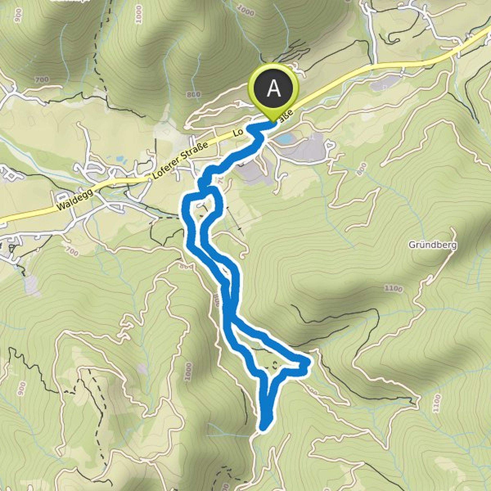
Bjoern planned a hike
May 7, 2022
Time
5h35m
Distance
19.3km
Speed
3.4km/h
Ascent
490m
Descent
500m
Map data © OpenStreetMap contributors
Bjoern planned a hike
February 26, 2022
Time
4h59m
Distance
10.7km
Speed
2.1km/h
Ascent
90m
Descent
820m

Map data © OpenStreetMap contributors
Bjoern planned a hike
February 26, 2022
Time
6h27m
Distance
9.53km
Speed
1.5km/h
Ascent
690m
Descent
750m

Map data © OpenStreetMap contributors
Bjoern planned a hike
February 26, 2022
Time
4h33m
Distance
6.40km
Speed
1.4km/h
Ascent
830m
Descent
210m

Map data © OpenStreetMap contributors
Bjoern planned a hike
September 12, 2021
Time
2h18m
Distance
7.44km
Speed
3.2km/h
Ascent
190m
Descent
190m
Map data © OpenStreetMap contributors
Bjoern planned a hike
May 25, 2017
Time
3h25m
Distance
8.14km
Speed
2.4km/h
Ascent
580m
Descent
580m

Map data © OpenStreetMap contributors
Bjoern planned a hike
May 25, 2017
Time
2h38m
Distance
8.46km
Speed
3.2km/h
Ascent
280m
Descent
280m

Map data © OpenStreetMap contributors
Bjoern planned a hike
May 25, 2017
Time
3h32m
Distance
6.76km
Speed
1.9km/h
Ascent
620m
Descent
620m

Map data © OpenStreetMap contributors
Bjoern planned a hike
May 25, 2017
Time
3h46m
Distance
10.6km
Speed
2.8km/h
Ascent
620m
Descent
620m

Map data © OpenStreetMap contributors