Timeline
ostseequelle planned a hike
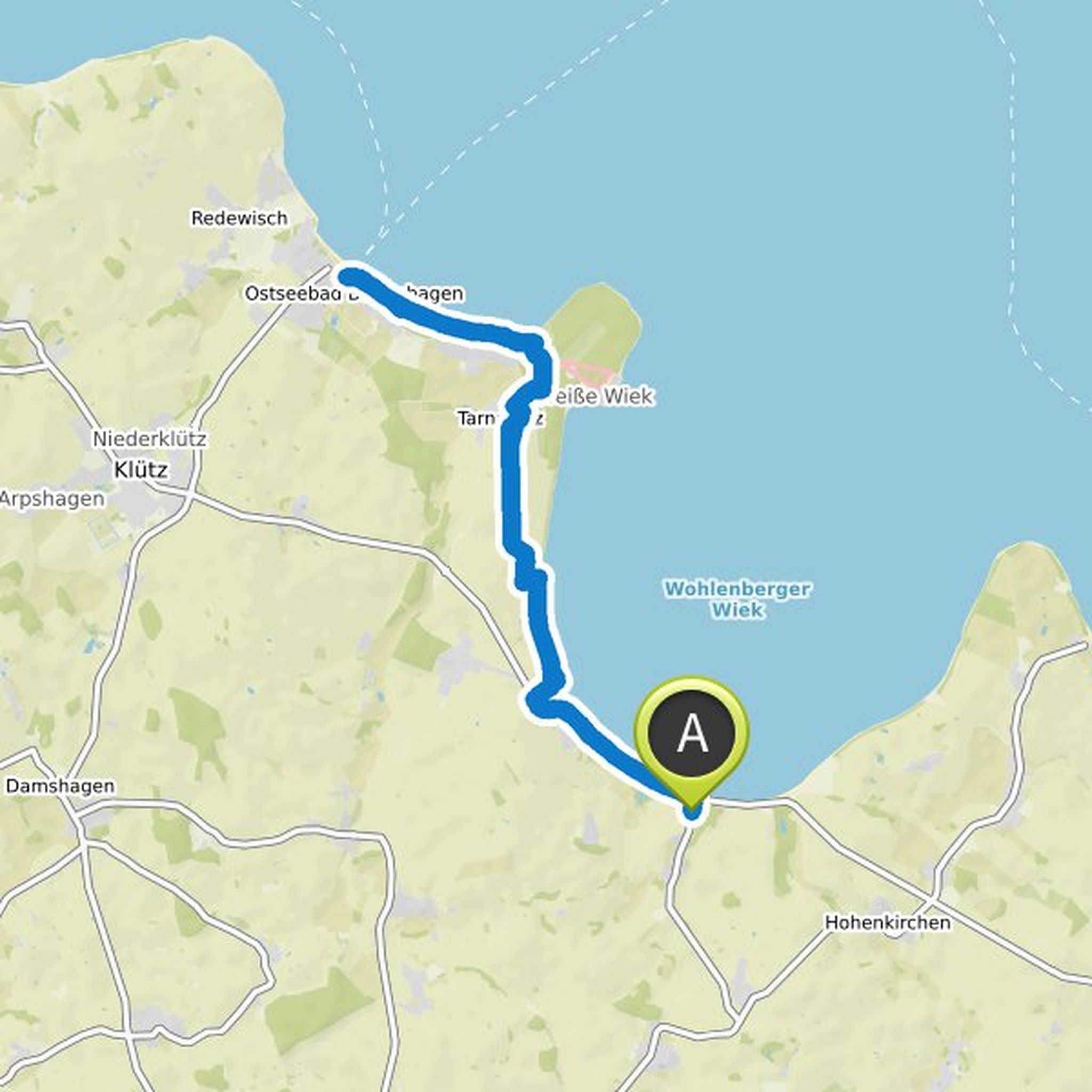
February 7, 2023
Time
Distance
Speed
Ascent
Descent
ostseequelle planned a run
May 29, 2021
Time
Distance
Pace
Ascent
Descent

ostseequelle planned a run
May 29, 2021
Time
Distance
Pace
Ascent
Descent

ostseequelle planned a bike ride
May 29, 2021
Time
Distance
Speed
Ascent
Descent

ostseequelle planned a bike ride
May 29, 2021
Time
Distance
Speed
Ascent
Descent

ostseequelle planned a bike ride
May 29, 2021
Time
Distance
Speed
Ascent
Descent

ostseequelle planned a hike
May 29, 2021
Time
Distance
Speed
Ascent
Descent

ostseequelle planned a hike
May 29, 2021
Time
Distance
Speed
Ascent
Descent
ostseequelle planned a hike
May 29, 2021
Time
Distance
Speed
Ascent
Descent

ostseequelle planned a hike
May 29, 2021
Time
Distance
Speed
Ascent
Descent

ostseequelle likes this.
ostseequelle planned a hike
February 24, 2019
Time
Distance
Speed
Ascent
Descent

ostseequelle planned a hike
October 15, 2018
Time
Distance
Speed
Ascent
Descent

February 7, 2023
Nice day hike with good food at the beach bar, Little Italy pizza, freshly picked strawberries and Tamila burgers in the evening.
Lots of nature in between. Beach, steep coast, coastal forest, marina, Beckerwitz, Hohenkirchen. Have fun !
PS: including food we were on the road for 5 hours.
Translated by Google •