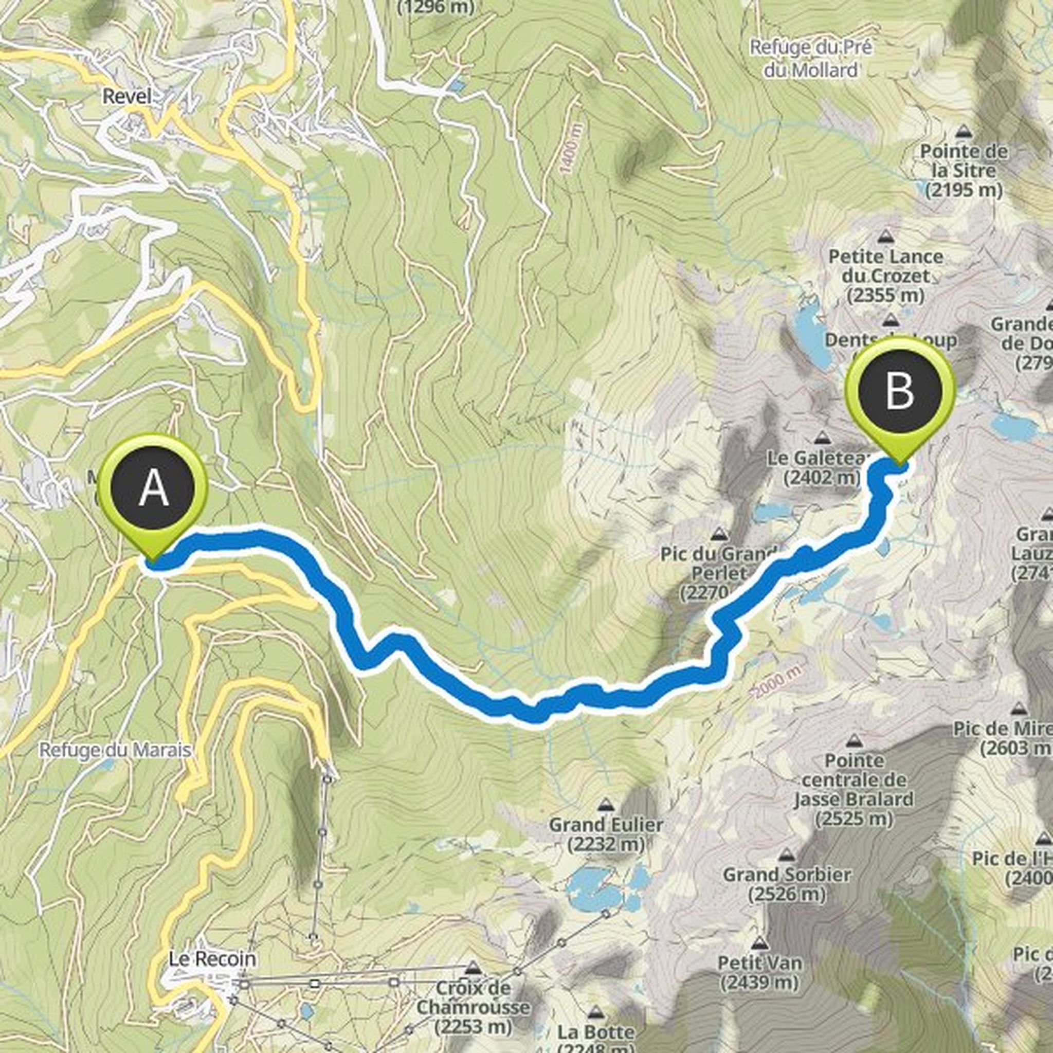
Timeline
Ema and Ben Tabourot planned a road ride
April 26, 2026
Time
4h26m
Distance
83.0km
Speed
18.7km/h
Ascent
1,120m
Descent
1,120m
Map data © OpenStreetMap contributors
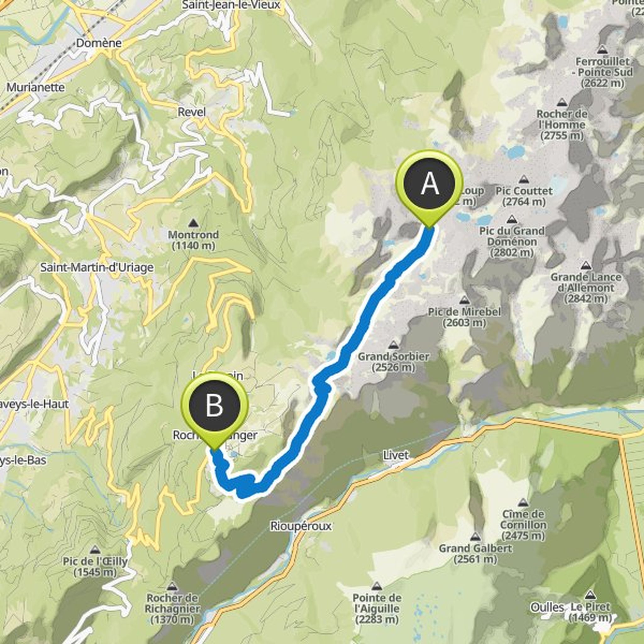
Ema planned a road ride
September 14, 2025
Time
1h42m
Distance
40.6km
Speed
23.9km/h
Ascent
180m
Descent
180m
Map data © OpenStreetMap contributors
loic and others planned a hike
June 2, 2024
Time
11h54m
Distance
26.1km
Speed
2.2km/h
Ascent
930m
Descent
1,360m

Map data © OpenStreetMap contributors
Manon Dufour, melinsuna, and others like this.
loic and others planned a hike
February 18, 2019
Time
6h50m
Distance
12.8km
Speed
1.9km/h
Ascent
400m
Descent
750m
Map data © OpenStreetMap contributors
loic and others planned a hike
February 18, 2019
Time
6h28m
Distance
9.97km
Speed
1.5km/h
Ascent
1,050m
Descent
20m
Map data © OpenStreetMap contributors
stevenleking, Yoann le randonneur de leçons, and others like this.
May 12, 2024
Hello, trace made this weekend. The wish was to follow the direction Die > Clelles over 26km (sources checked upstream on the route). ATTENTION: by switching to navigation mode the track increases to 33km with 2000 d+, and no source present from Die to Col de Bachasson, i.e. 25 km!
Translated by Google •