Timeline
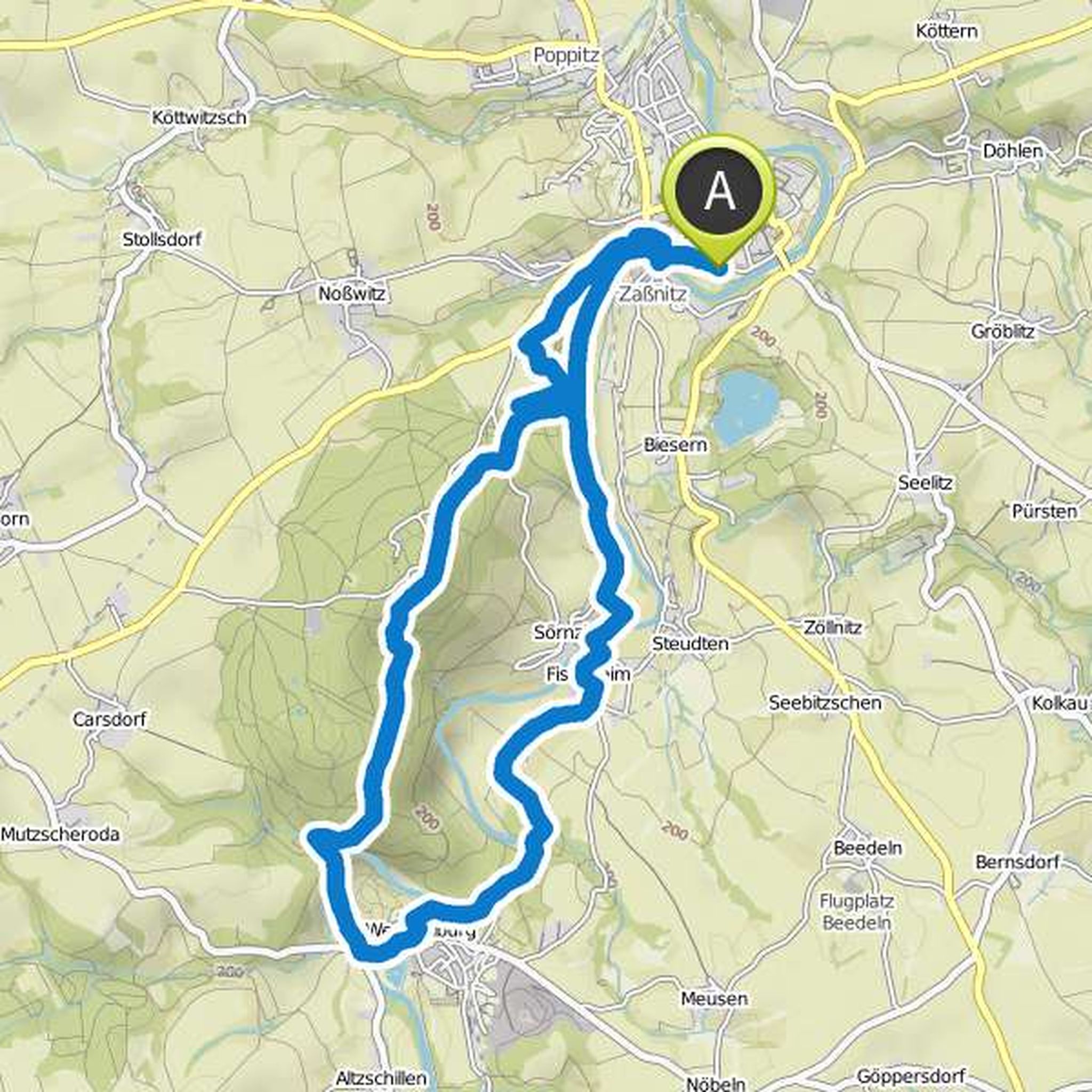
Kathrin Schur planned a hike
October 1, 2022
Time
Distance
Speed
Ascent
Descent
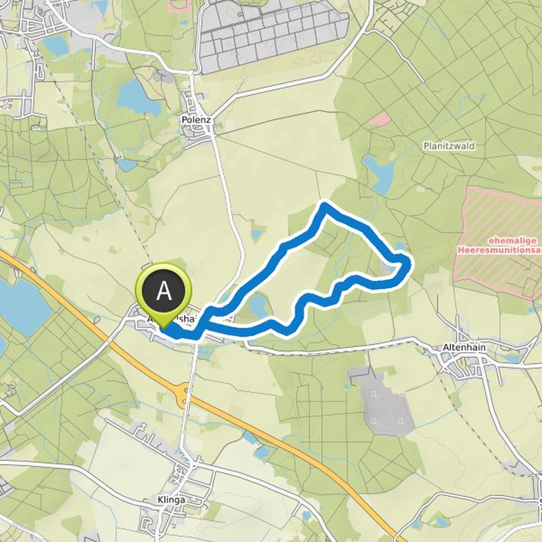
Kathrin Schur planned a hike
April 17, 2022
Time
Distance
Speed
Ascent
Descent
Kathrin Schur planned a hike
April 17, 2022
Time
Distance
Speed
Ascent
Descent
Kathrin Schur planned a hike
March 25, 2022
Time
Distance
Speed
Ascent
Descent
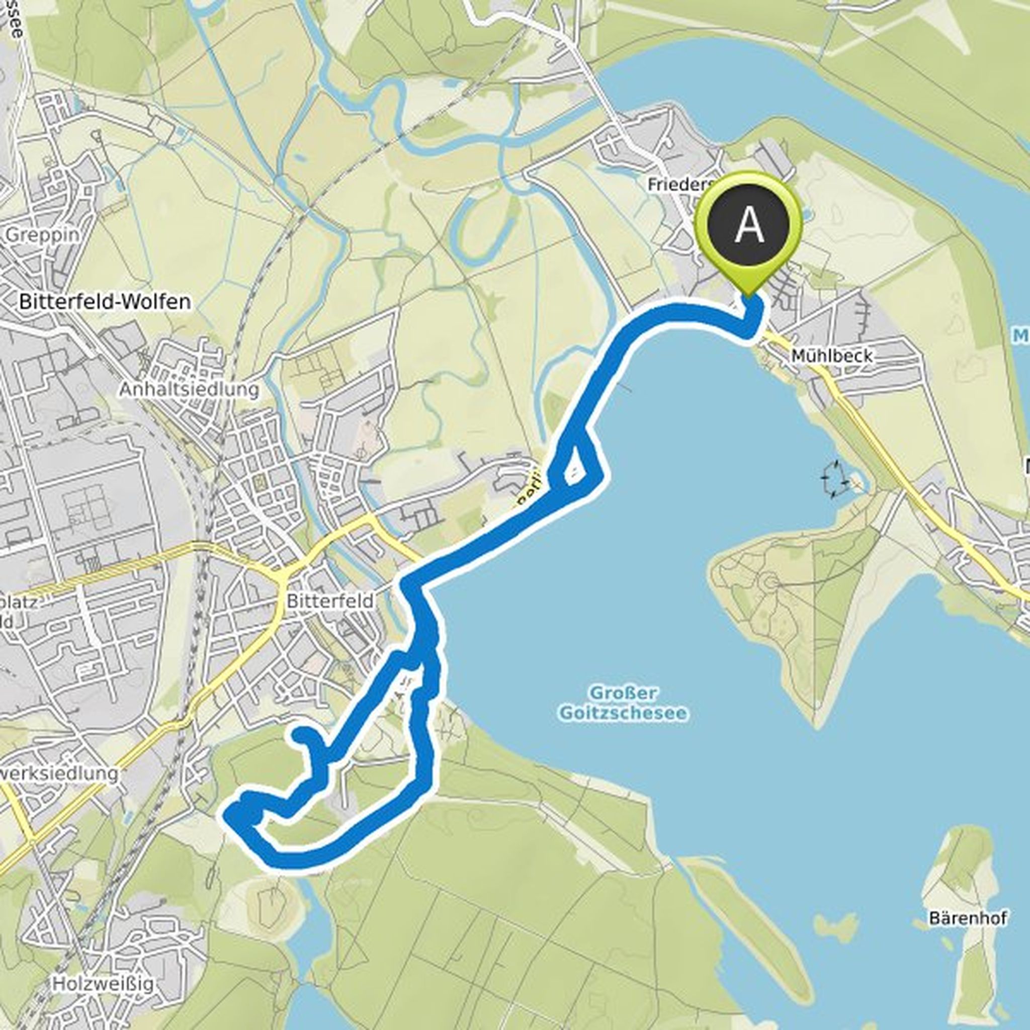
Kathrin Schur planned a hike
October 29, 2021
Time
Distance
Speed
Ascent
Descent
Kathrin Schur planned a hike
October 29, 2021
Time
Distance
Speed
Ascent
Descent
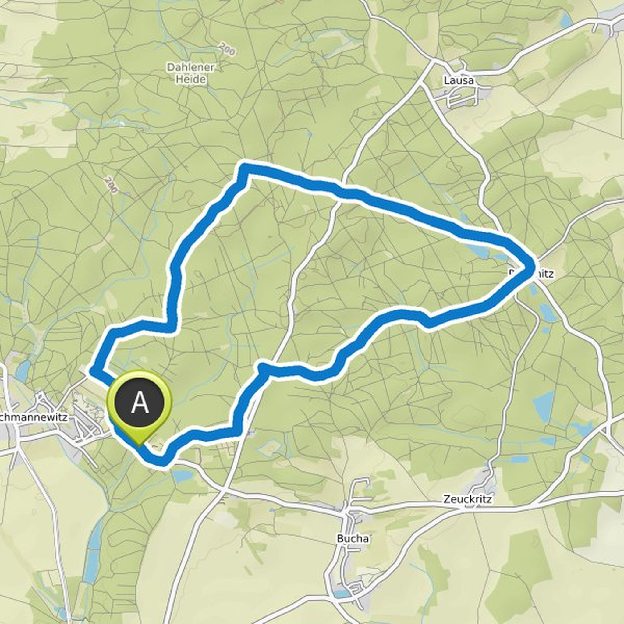
Kathrin Schur planned a hike
June 27, 2021
Time
Distance
Speed
Ascent
Descent
Kathrin Schur planned a hike
June 27, 2021
Time
Distance
Speed
Ascent
Descent
Kathrin Schur planned a hike
May 10, 2020
Time
Distance
Speed
Ascent
Descent
Kathrin Schur planned a hike
March 21, 2018
Time
Distance
Speed
Ascent
Descent
Kathrin Schur planned a hike
September 29, 2016
Time
Distance
Speed
Ascent
Descent