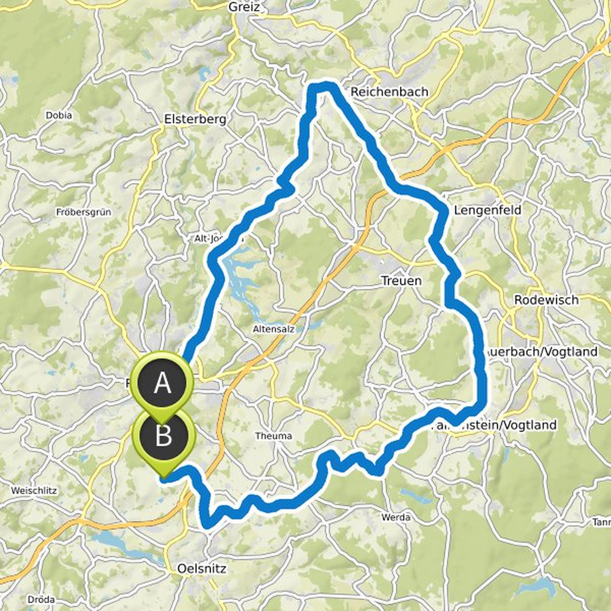
Timeline
Hofradler planned an e-bike ride
September 1, 2024
Time
Distance
Speed
Ascent
Descent
Hofradler planned an e-bike ride
May 22, 2022
Time
Distance
Speed
Ascent
Descent
Hofradler planned an e-bike ride
December 28, 2021
Time
Distance
Speed
Ascent
Descent
Hofradler planned an e-bike ride
June 14, 2021
Time
Distance
Speed
Ascent
Descent

Hofradler planned an e-bike ride
June 2, 2021
Time
Distance
Speed
Ascent
Descent

Hofradler planned an e-bike ride
August 19, 2020
Time
Distance
Speed
Ascent
Descent

Stefan Krauß🚶♂️🚵 likes this.
Hofradler and FraNKENPFAND planned a bike ride
June 6, 2020
Time
Distance
Speed
Ascent
Descent
Stefan Krauß🚶♂️🚵 likes this.
Hofradler planned a bike ride
June 2, 2020
Time
Distance
Speed
Ascent
Descent

Stefan Krauß🚶♂️🚵 likes this.
Hofradler planned a bike ride
June 1, 2020
Time
Distance
Speed
Ascent
Descent

Stefan Krauß🚶♂️🚵 likes this.
Hofradler planned a bike ride
May 28, 2020
Time
Distance
Speed
Ascent
Descent
Stefan Krauß🚶♂️🚵 likes this.
Hofradler planned a bike ride
May 28, 2020
Time
Distance
Speed
Ascent
Descent

Stefan Krauß🚶♂️🚵 likes this.
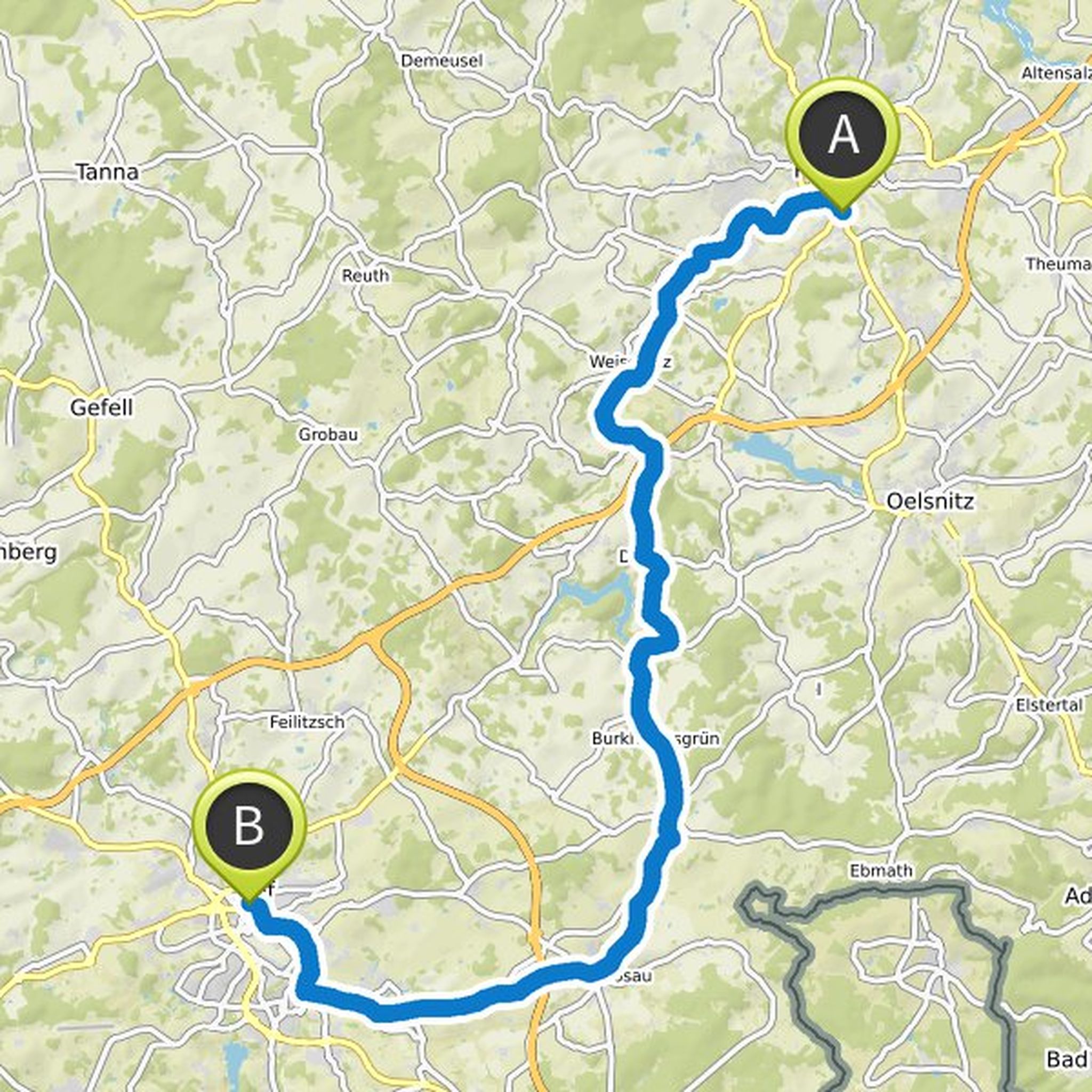
May 31, 2020
And if you have driven the tour twice, you hardly need a navigation system anymore.
Translated by Google •
August 24, 2020
So the tour we made was a real surprise, especially between Weischlitz and Schwandt at the top of the hill. That is an increase that will surprise some. But definitely not in a positive sense who is looking for a climb that stretches over kilometers and really demands the last from you. It is better
Translated by Google •