Timeline
Tobias Müller planned a hike
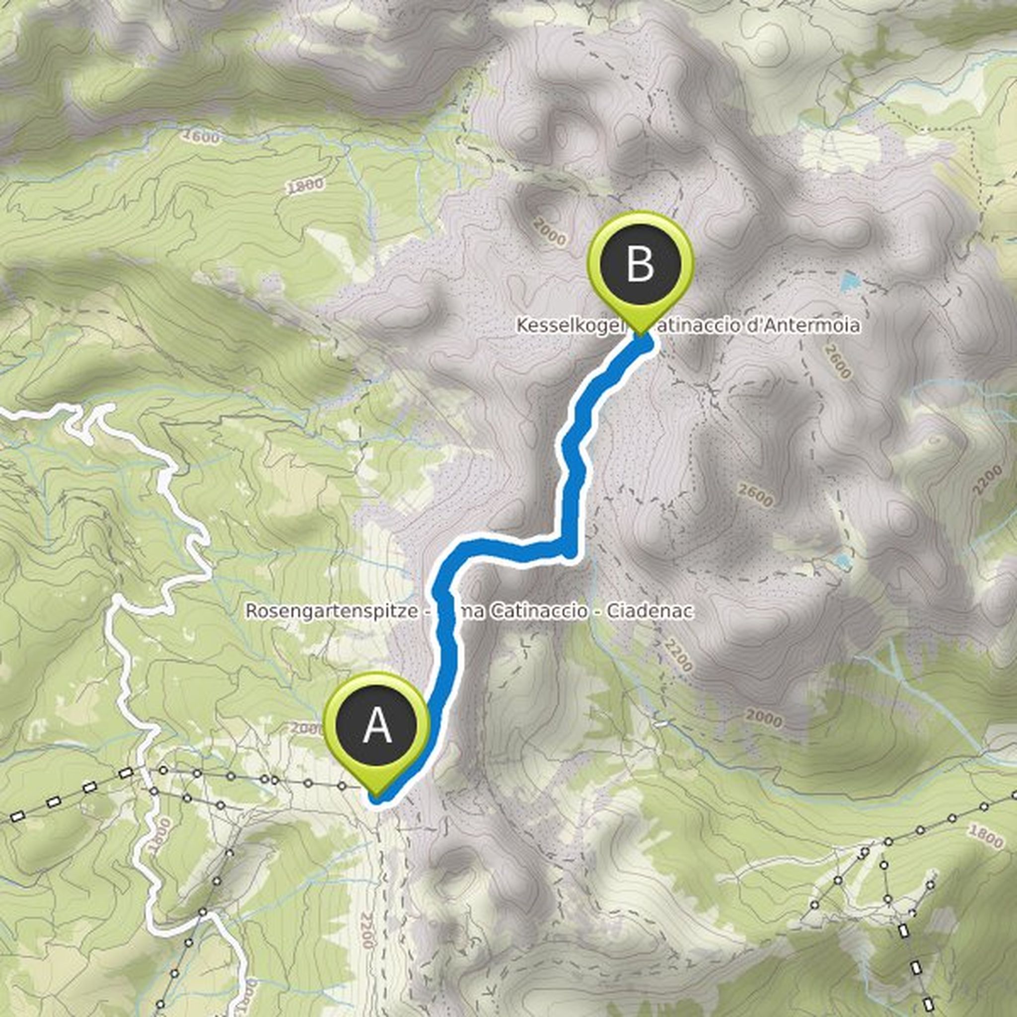
December 23, 2022
Time
Distance
Speed
Ascent
Descent
Tobias Müller planned a hike
June 16, 2019
Time
Distance
Speed
Ascent

sorth likes this.
Tobias Müller planned a hike
June 16, 2019
Time
Distance
Speed
Ascent
Descent

sorth likes this.
Tobias Müller planned a hike
June 16, 2019
Time
Distance
Speed
Ascent
Descent

sorth likes this.
Tobias Müller planned a hike
June 16, 2019
Time
Distance
Speed
Ascent
Descent
sorth likes this.
Tobias Müller planned a hike
April 29, 2018
Time
Distance
Speed
Ascent
Descent

Tobias Müller planned a hike
April 29, 2018
Time
Distance
Speed
Ascent
Descent

HansRun likes this.
Tobias Müller planned a hike
April 29, 2018
Time
Distance
Speed
Ascent
Descent

HansRun likes this.
Tobias Müller planned a hike
April 29, 2018
Time
Distance
Speed
Ascent
Descent

HansRun likes this.
Tobias Müller planned a hike
April 29, 2018
Time
Distance
Speed
Ascent
Descent

HansRun likes this.
Tobias Müller planned a hike
April 29, 2018
Time
Distance
Speed
Ascent
Descent

HansRun likes this.
Tobias Müller and others planned a mountain bike ride
September 2, 2017
Time
Distance
Speed
Ascent
Descent

Tobias Müller planned a hike
August 27, 2017
Time
Distance
Speed
Ascent
Descent

HansRun likes this.
Tobias Müller planned a hike
August 27, 2017
Time
Distance
Speed
Ascent
Descent

HansRun likes this.
Tobias Müller planned a hike
August 27, 2017
Time
Distance
Speed
Ascent
Descent

HansRun likes this.
August 14, 2017
600m mountain, oha. Hans, almost like you in the Taunus.
Translated by Google •