Timeline
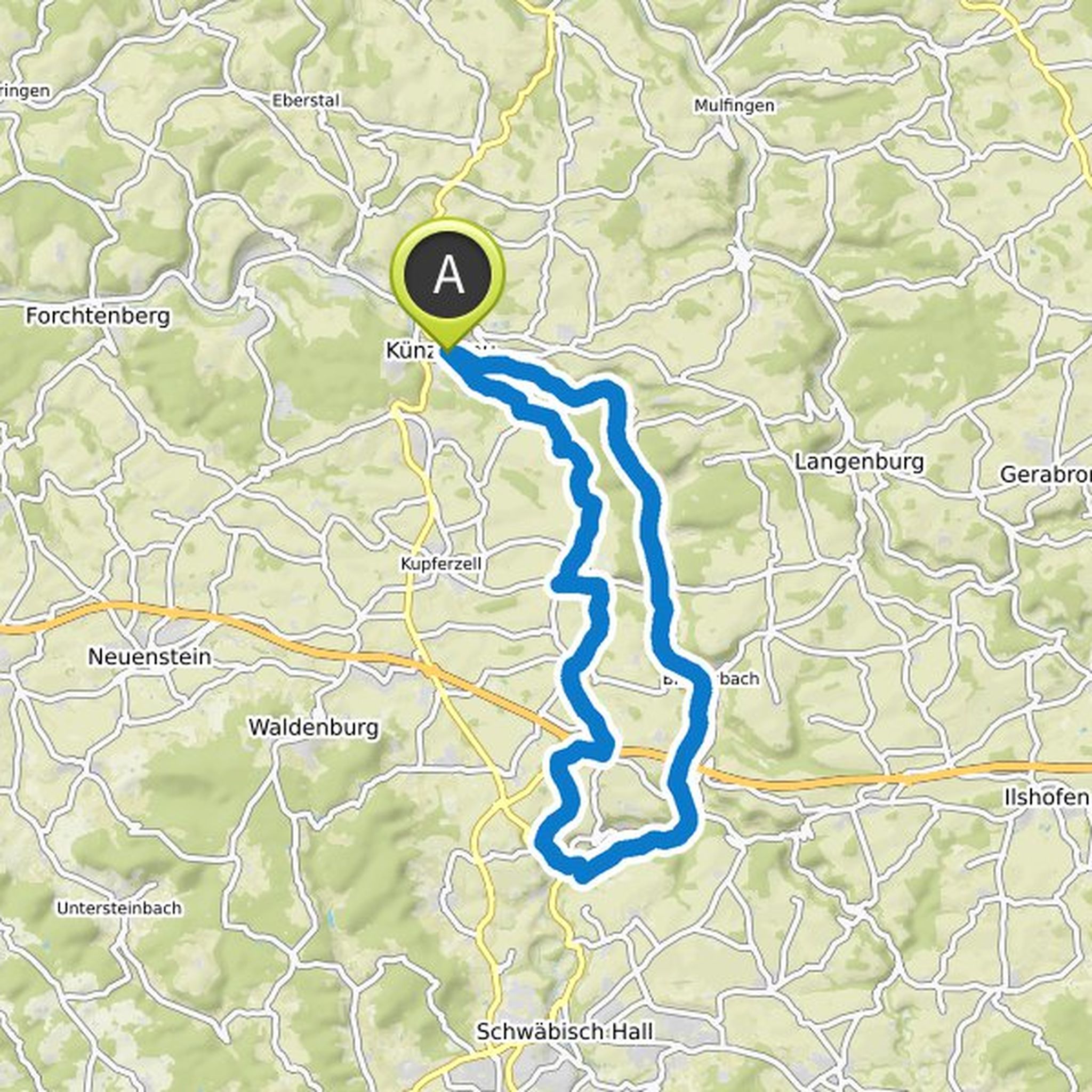
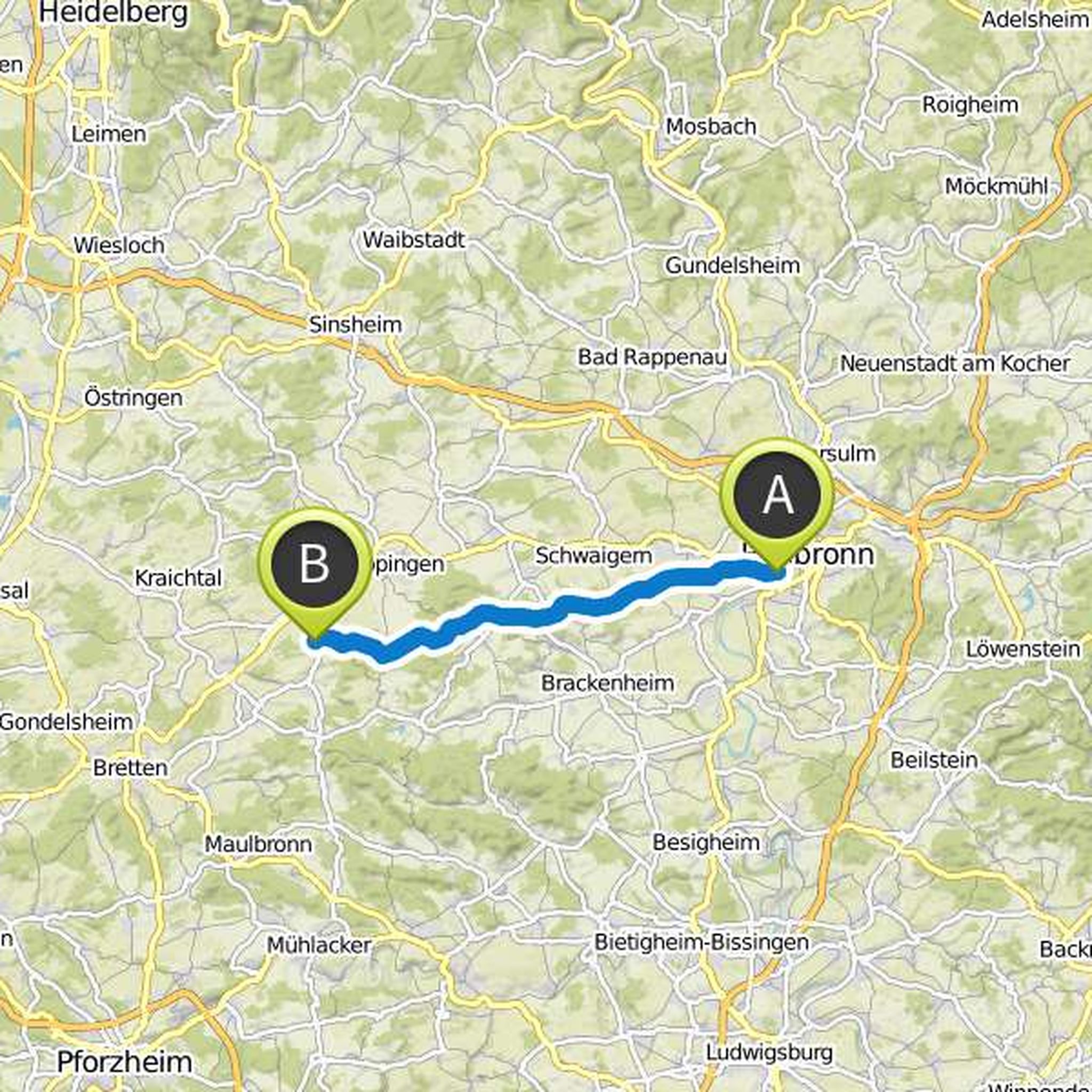
Camo and Waffelschmied planned a hike
April 20, 2020
Time
Distance
Speed
Ascent
Descent
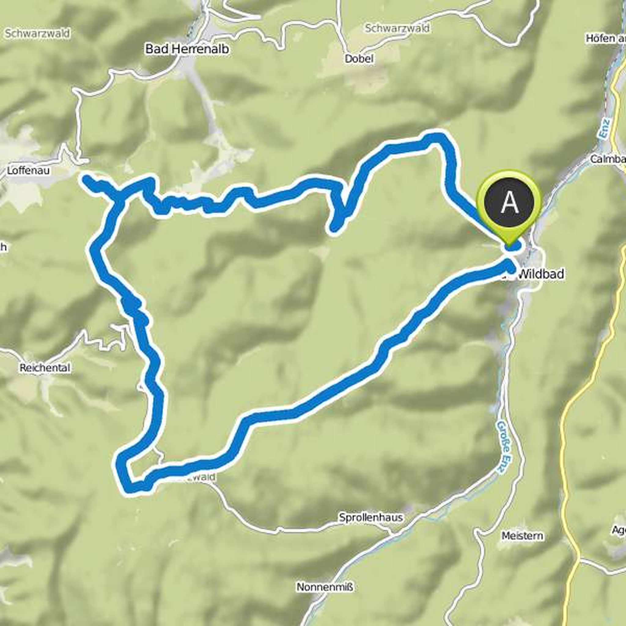
Waffelschmied planned a hike
April 20, 2020
Time
Distance
Speed
Ascent
Descent
Waffelschmied planned a hike
May 10, 2019
Time
Distance
Speed
Ascent
Descent
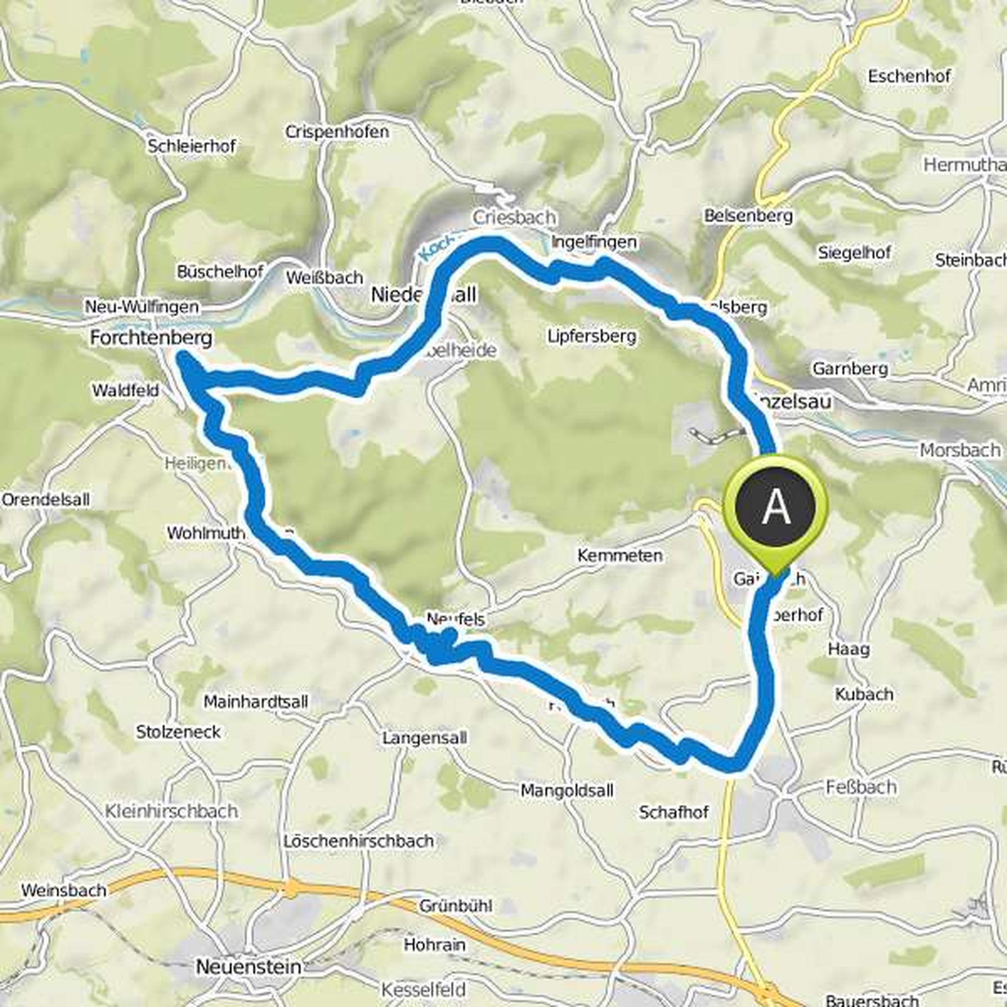
Waffelschmied planned a mountain bike ride
March 31, 2017
Time
Distance
Speed
Ascent
Descent
Waffelschmied planned a hike
March 6, 2017
Time
Distance
Speed
Ascent
Descent
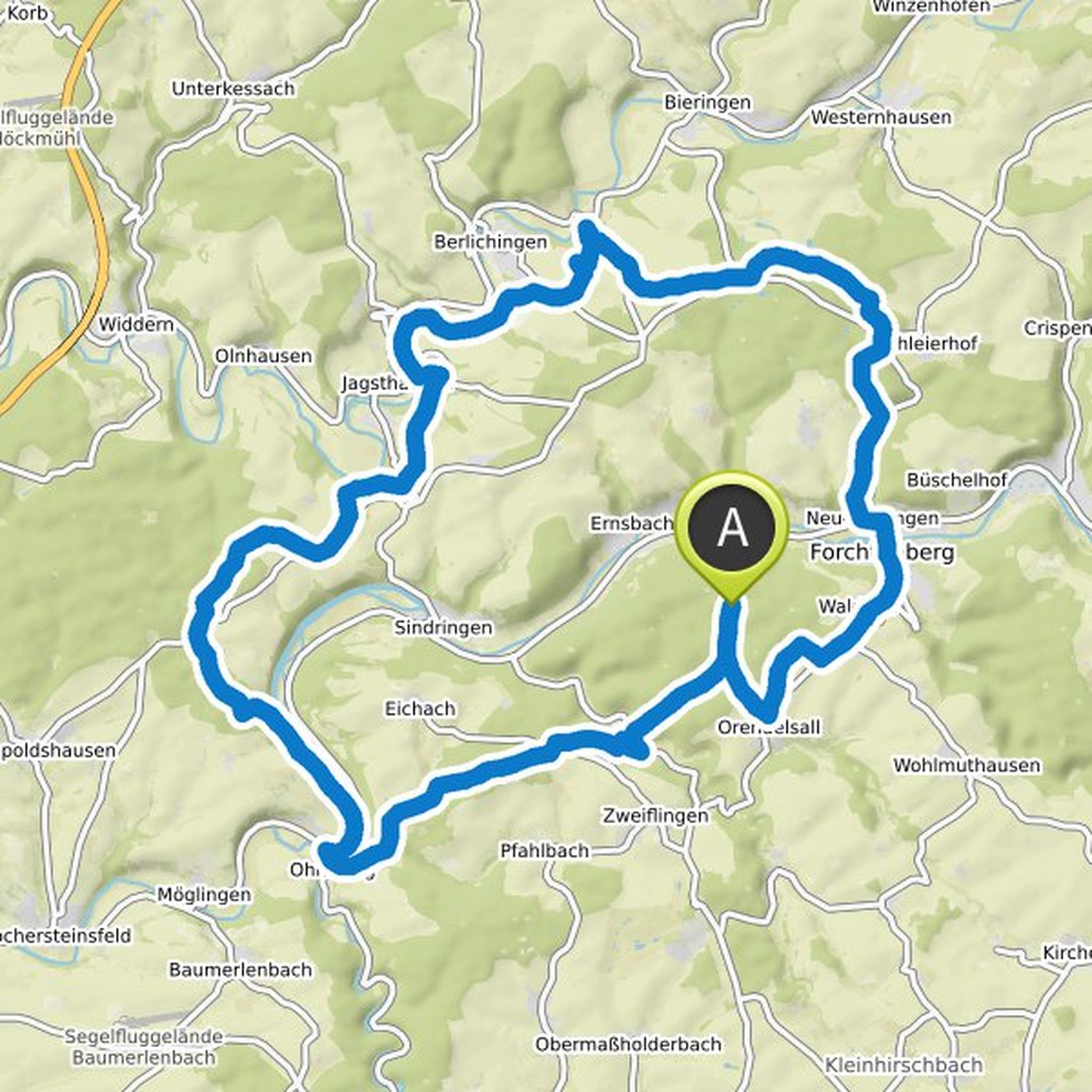
Waffelschmied and Camo planned a hike
February 7, 2016
Time
Distance
Speed
Ascent
Descent
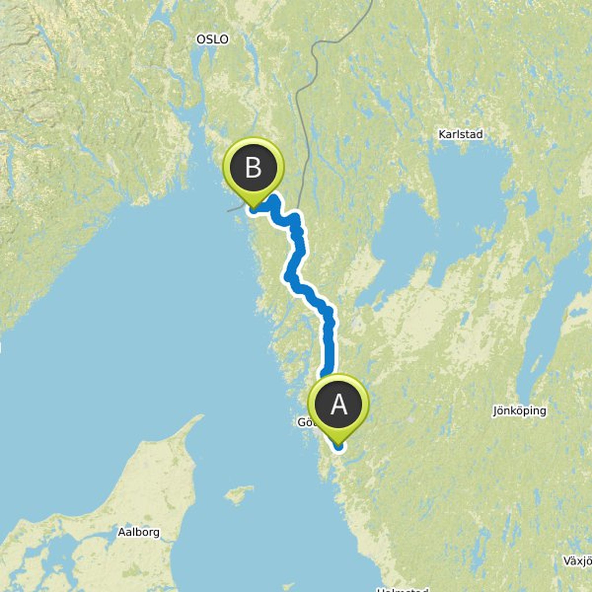
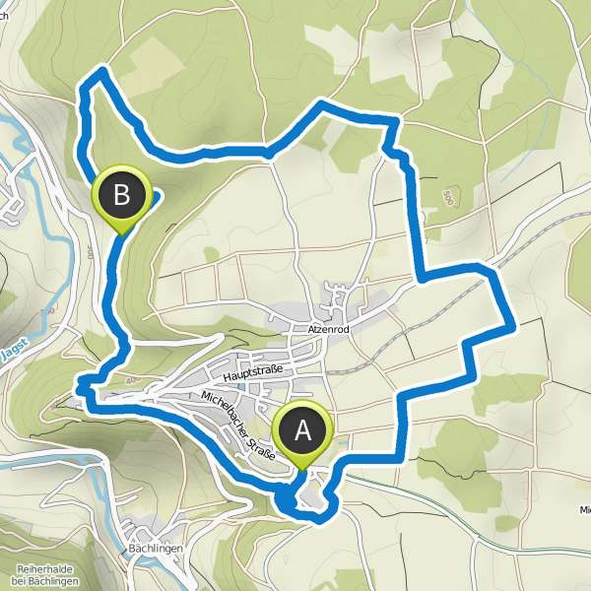
Waffelschmied and Anna planned a mountain bike ride
October 19, 2015
Time
Distance
Speed
Ascent
Descent
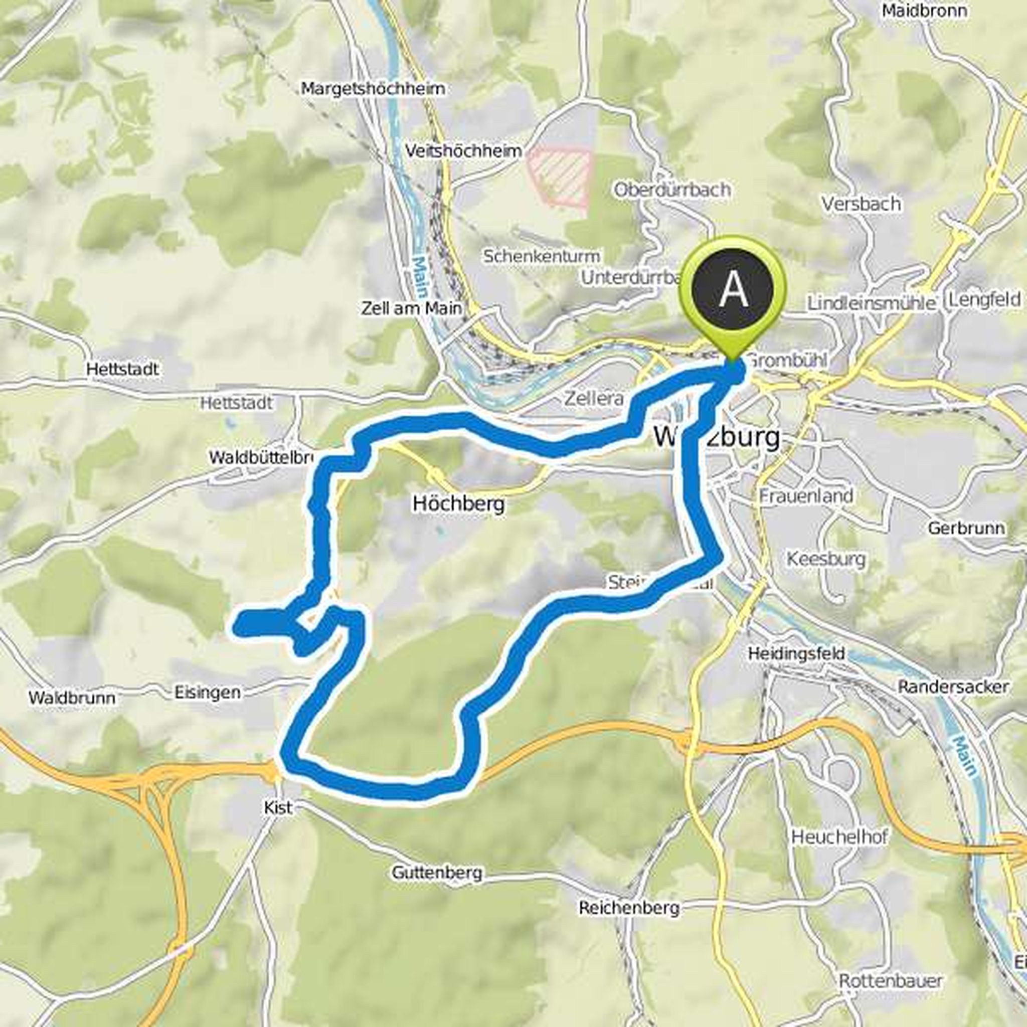
Waffelschmied planned a hike
October 19, 2015
Time
Distance
Speed
Ascent
Descent
truemarmalade likes this.
October 19, 2015
that is the previous planning. I will possibly adjust or extend it a bit.
Translated by Google •
October 19, 2015
unfortunately, the route planning does not lead directly to the copper long, but next to ner street. the part between the B19 and Forchtenberg (clockwise).
Translated by Google •