Timeline
Time
Distance
Speed
Ascent
Descent
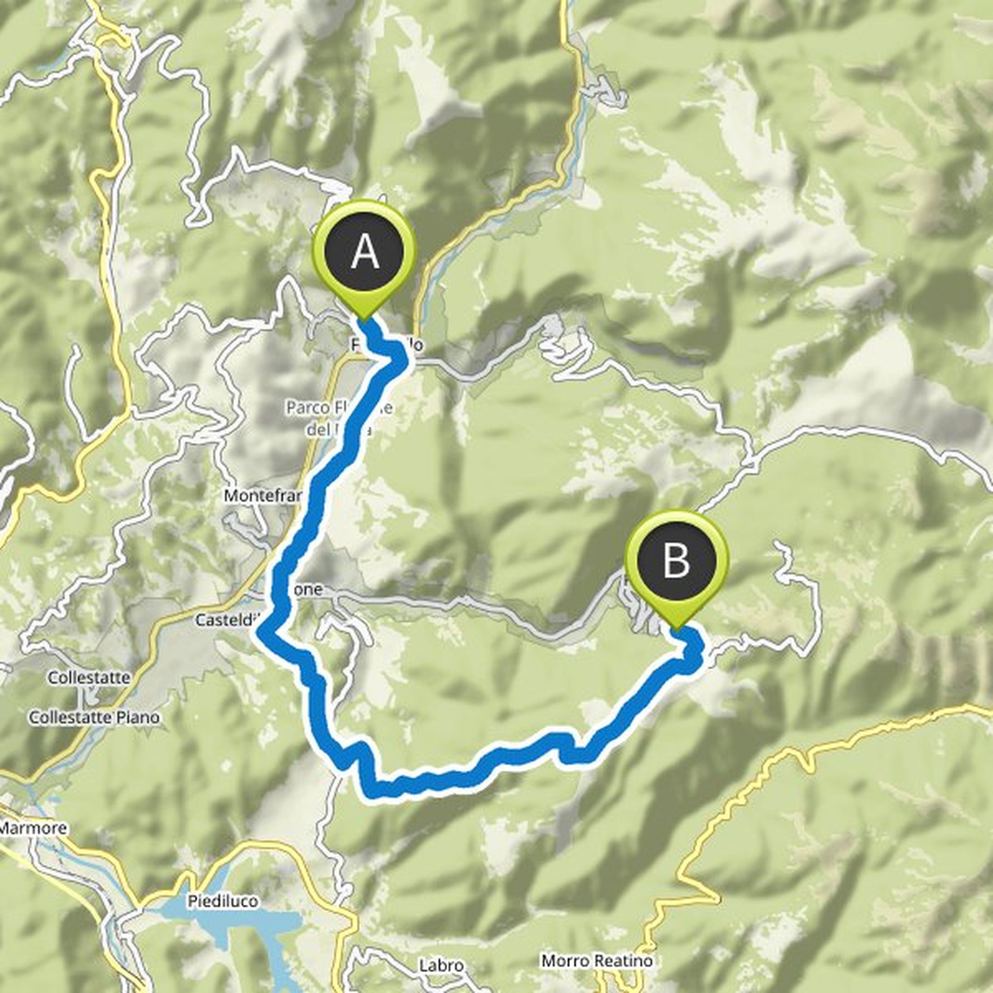
Britta planned a mountain bike ride
July 4, 2022
Time
Distance
Speed
Ascent
Descent
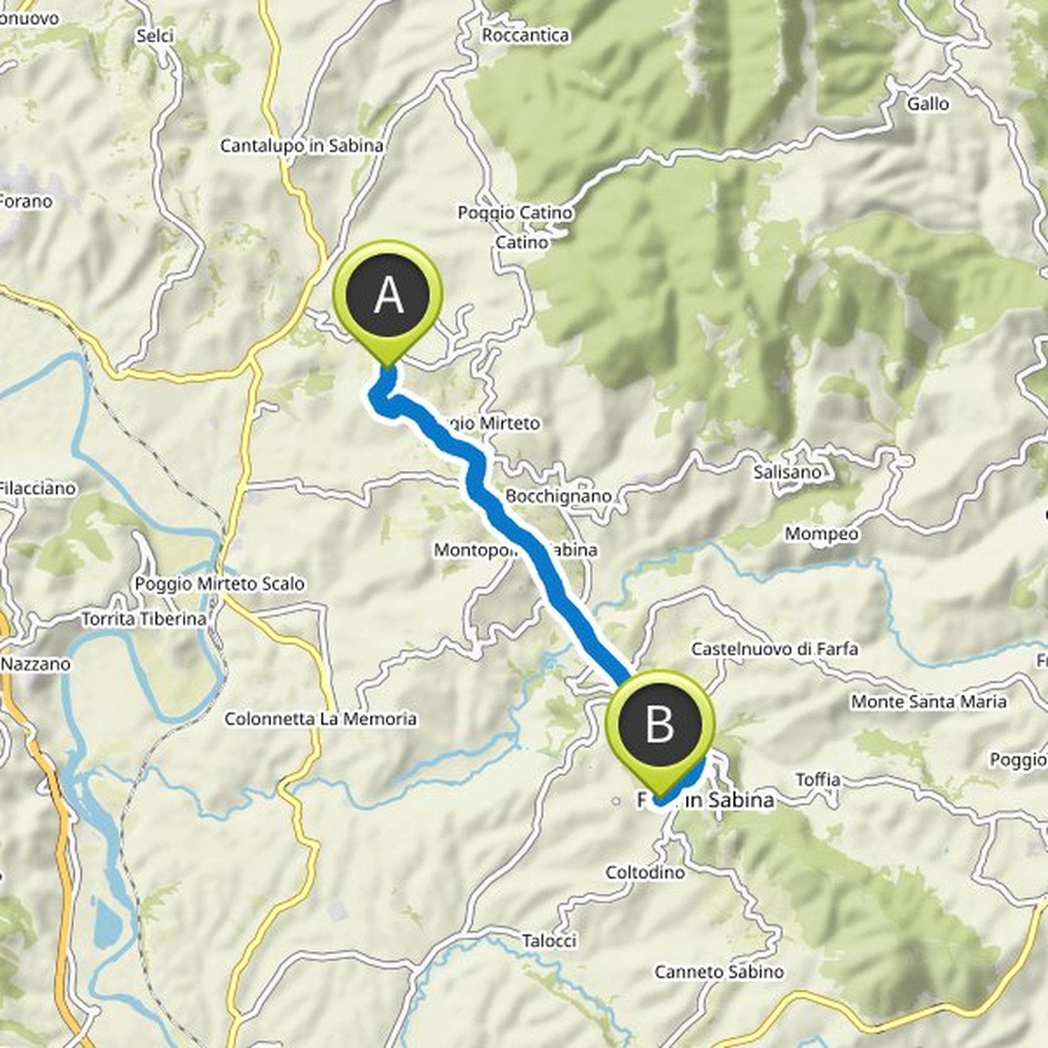
Britta planned a mountain bike ride
June 9, 2021
Time
Distance
Speed
Ascent
Descent


Britta planned a hike
May 5, 2019
Time
Distance
Speed
Ascent
Descent
Britta planned a hike
May 5, 2019
Time
Distance
Speed
Ascent
Descent

Britta planned a hike
May 5, 2019
Time
Distance
Speed
Ascent
Descent

Britta planned a hike
May 5, 2019
Time
Distance
Speed
Ascent
Descent

Britta planned a hike
May 5, 2019
Time
Distance
Speed
Ascent
Descent

Britta planned a hike
May 5, 2019
Time
Distance
Speed
Ascent
Descent

Britta planned a hike
May 5, 2019
Time
Distance
Speed
Ascent
Descent

Britta planned a hike
May 5, 2019
Time
Distance
Speed
Ascent
Descent

Britta planned a hike
May 5, 2019
Time
Distance
Speed
Ascent
Descent