Timeline
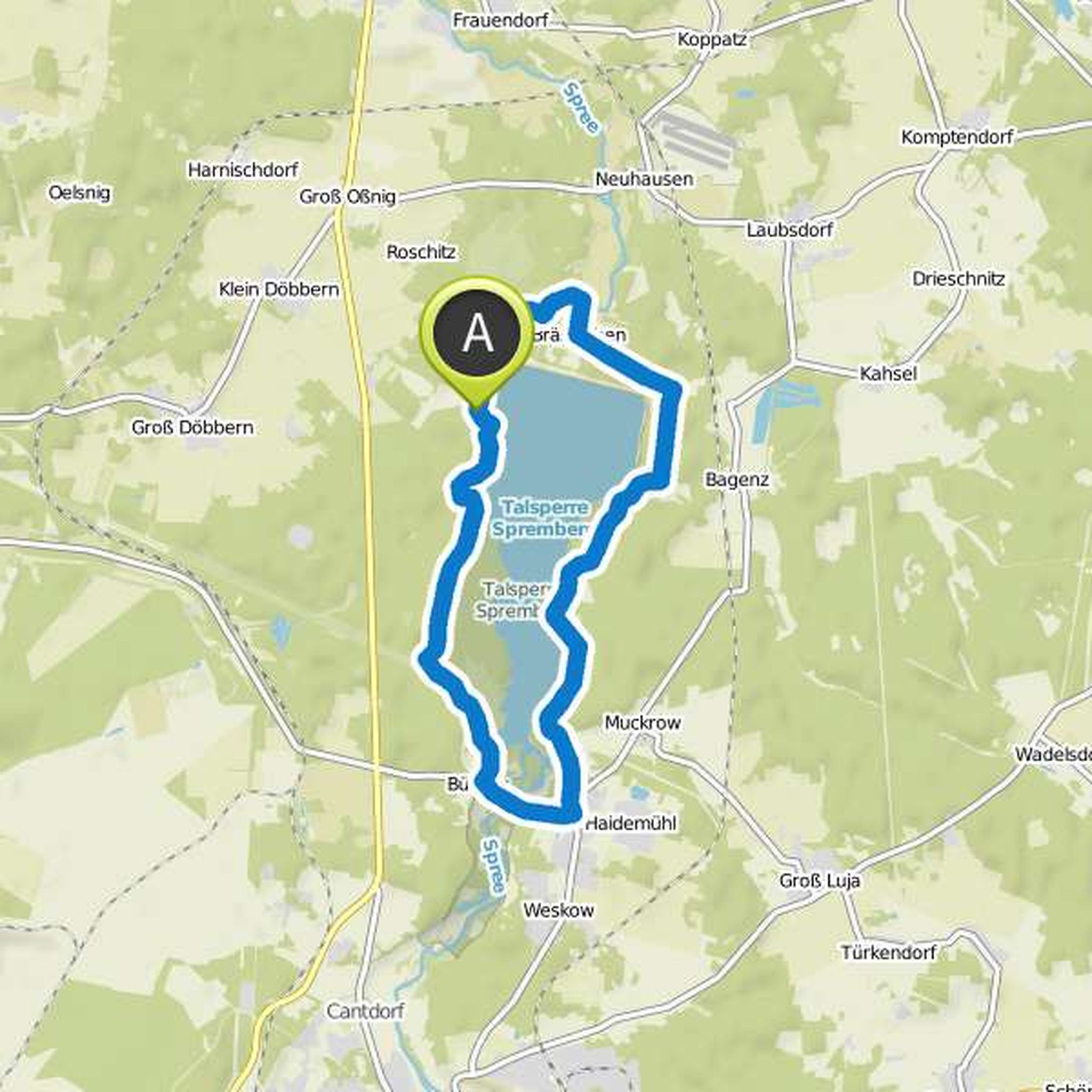
Ingo planned a hike
June 28, 2017
Time
2h07m
Distance
6.39km
Speed
3.0km/h
Ascent
290m
Descent
290m
Map data © OpenStreetMap contributors
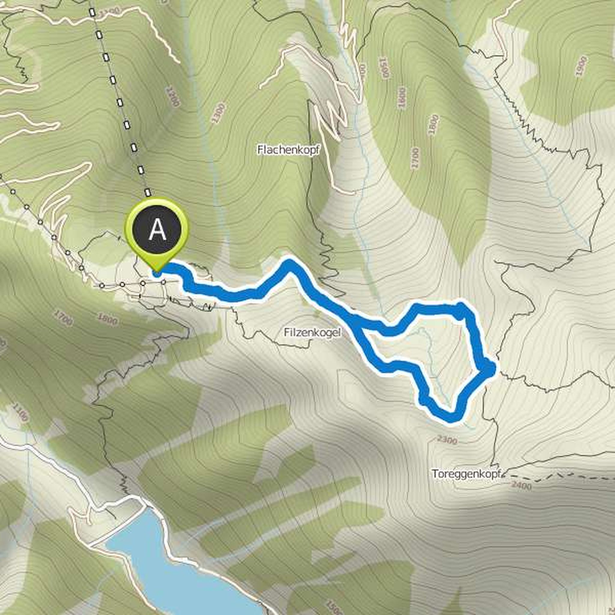
Ingo planned a mountaineering activity
April 7, 2016
Time
10h01m
Distance
21.3km
Speed
2.1km/h
Ascent
1,650m
Descent
1,640m
Map data © OpenStreetMap contributors
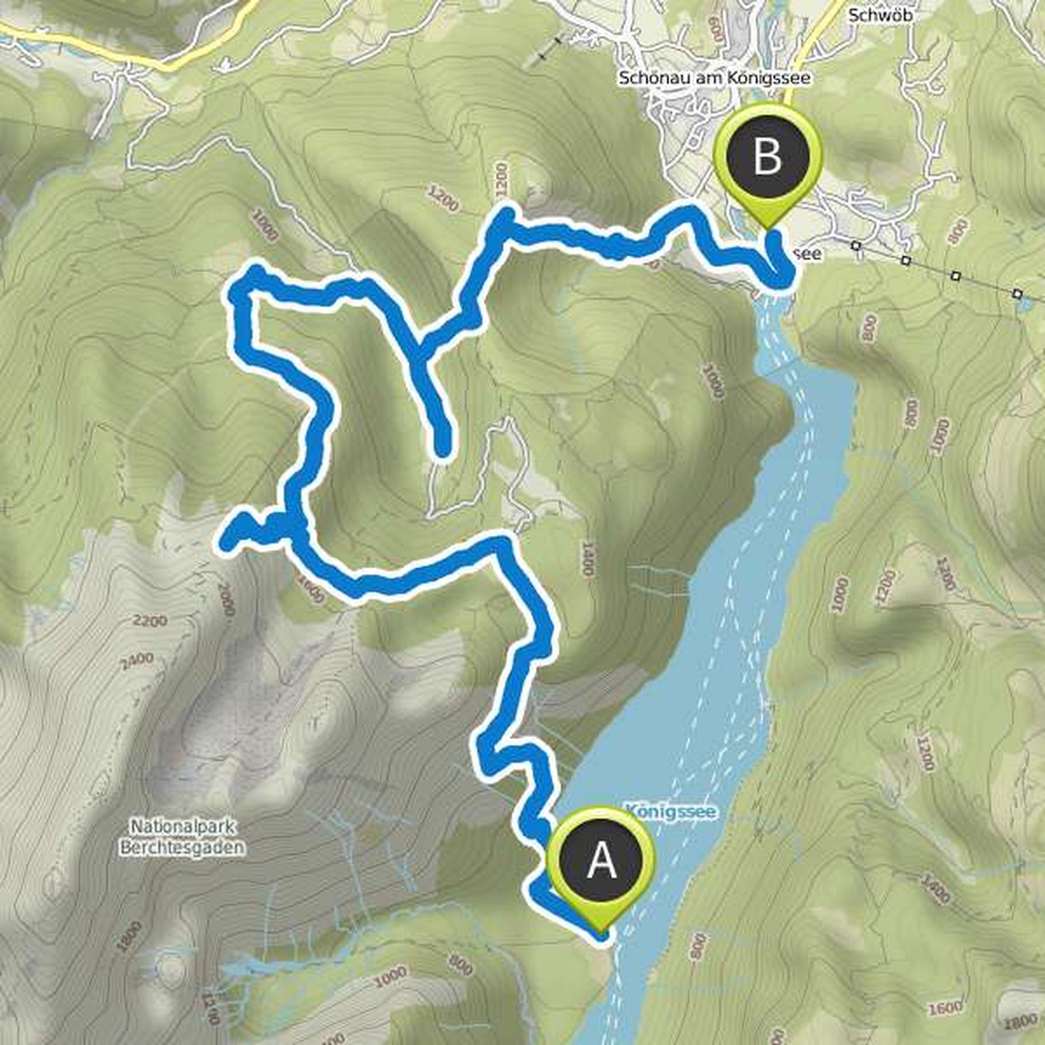
Ingo planned a hike
April 7, 2016
Time
6h08m
Distance
23.3km
Speed
3.8km/h
Ascent
200m
Descent
210m
Map data © OpenStreetMap contributors
Ingo planned a bike ride
April 7, 2016
Time
1h21m
Distance
19.3km
Speed
14.4km/h
Ascent
100m
Descent
100m
Map data © OpenStreetMap contributors
Gritchen69 likes this.
October 5, 2021
Nice round to relax very good surface a lot of asphalt rolls 👌
Translated by Google •
April 7, 2016
A very beautiful mountain tour with a view of the Königsee and the surrounding mountains.
Translated by Google •