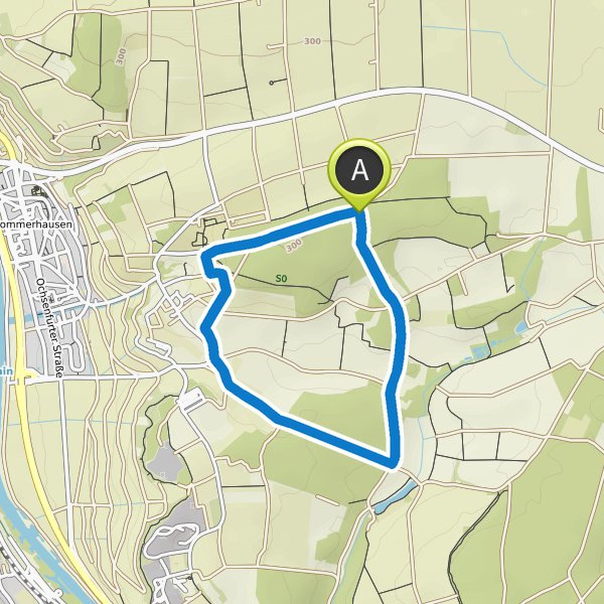
Timeline
Khlav planned a hike
August 7, 2022
Time
Distance
Speed
Ascent
Descent
Khlav planned a hike
July 26, 2022
Time
Distance
Speed
Ascent
Descent
Khlav planned a hike
July 25, 2022
Time
Distance
Speed
Ascent
Descent
Khlav planned a hike
July 25, 2022
Time
Distance
Speed
Ascent
Descent
Khlav planned a hike
July 25, 2022
Time
Distance
Speed
Ascent
Descent
Khlav planned a hike
July 25, 2022
Time
Distance
Speed
Ascent
Descent
Khlav planned a hike
July 25, 2022
Time
Distance
Speed
Ascent
Descent
Khlav planned a hike
July 25, 2022
Time
Distance
Speed
Ascent
Descent
Khlav planned a hike
February 8, 2022
Time
Distance
Speed
Ascent
Descent

Khlav planned a hike
February 8, 2022
Time
Distance
Speed
Ascent
Descent

Khlav planned a hike
February 8, 2022
Time
Distance
Speed
Ascent
Descent

Khlav planned a hike
February 8, 2022
Time
Distance
Speed
Ascent
Descent

Khlav planned a hike
February 8, 2022
Time
Distance
Speed
Ascent
Descent

Khlav planned a hike
February 8, 2022
Time
Distance
Speed
Ascent
Descent
Khlav planned a hike
February 8, 2022
Time
Distance
Speed
Ascent
Descent
