Timeline
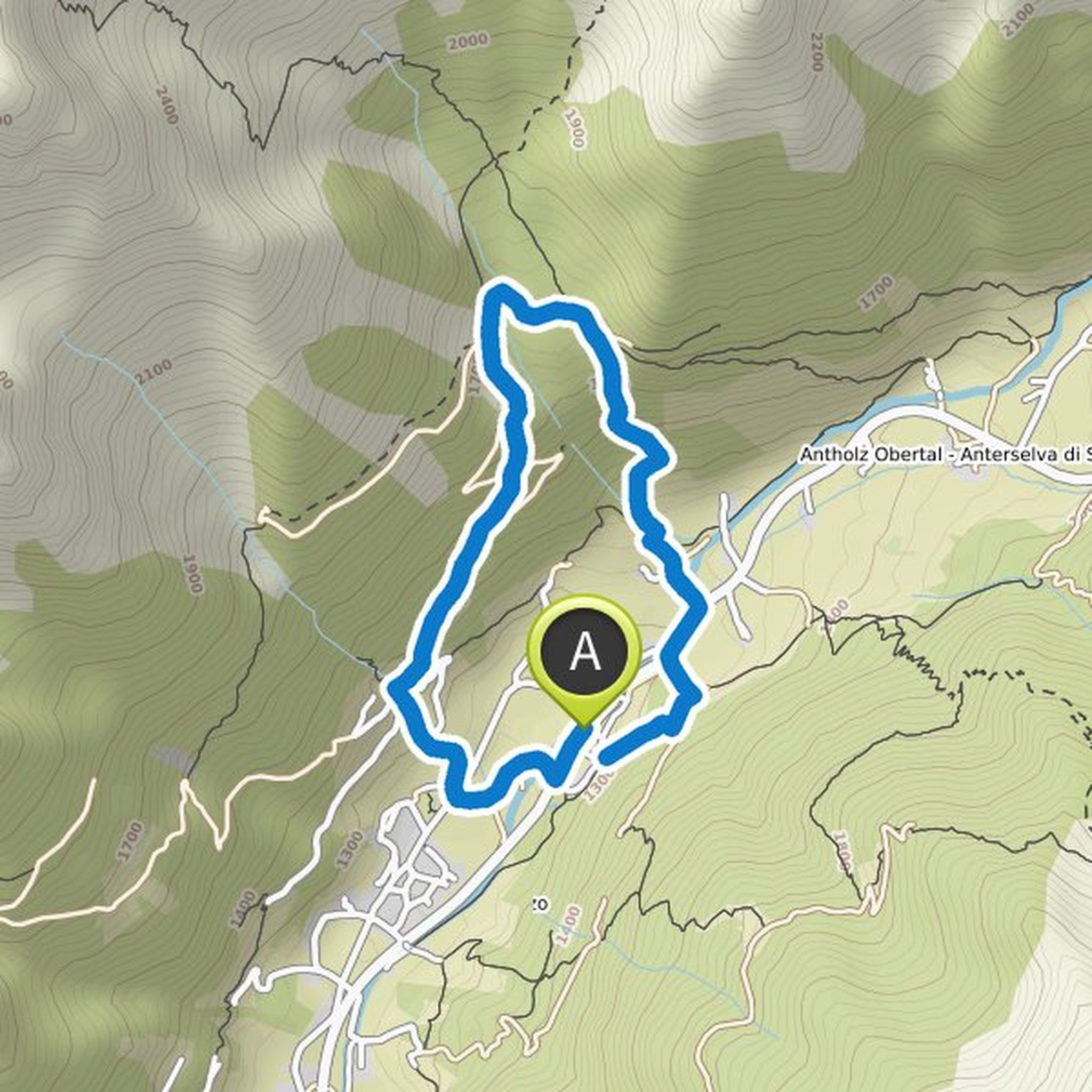
Sebastian and others planned a gravel ride
May 8, 2026
Time
Distance
Speed
Ascent
Descent
Sebastian and others planned a road ride
May 9, 2025
Time
Distance
Speed
Ascent
Descent
Sebastian and others planned a road ride
May 7, 2025
Time
Distance
Speed
Ascent
Descent
Sebastian planned a hike
July 27, 2023
Time
Distance
Speed
Ascent
Descent
Sebastian planned a gravel ride
July 23, 2023
Time
Distance
Speed
Ascent
Descent
Sebastian planned a hike
July 23, 2023
Time
Distance
Speed
Ascent
Descent
Sebastian planned a road ride
April 27, 2023
Time
Distance
Speed
Ascent
Descent
Sebastian planned a hike
July 28, 2022
Time
Distance
Speed
Ascent
Descent
Time
Distance
Speed
Ascent
Descent

Sebastian planned a hike
December 30, 2021
Time
Distance
Speed
Ascent
Descent

Sebastian planned a hike
July 8, 2021
Time
Distance
Speed
Ascent
Descent

Sebastian planned a hike
July 7, 2021
Time
Distance
Speed
Ascent
Descent
Oli S and others planned a gravel ride
April 16, 2021
Time
Distance
Speed
Ascent
Descent

Oli S and others planned a road ride
July 7, 2020
Time
Distance
Speed
Ascent
Descent

Sebastian planned a mountain bike ride
July 4, 2020
Time
Distance
Speed
Ascent
Descent

July 11, 2021
A great hike that is also suitable for children with off-road terrain. Our kids (8 and 11) did a great job. There is also the opportunity to stop at the Obersee or later at the Steinzger-Alm.
Translated by Google •