Timeline
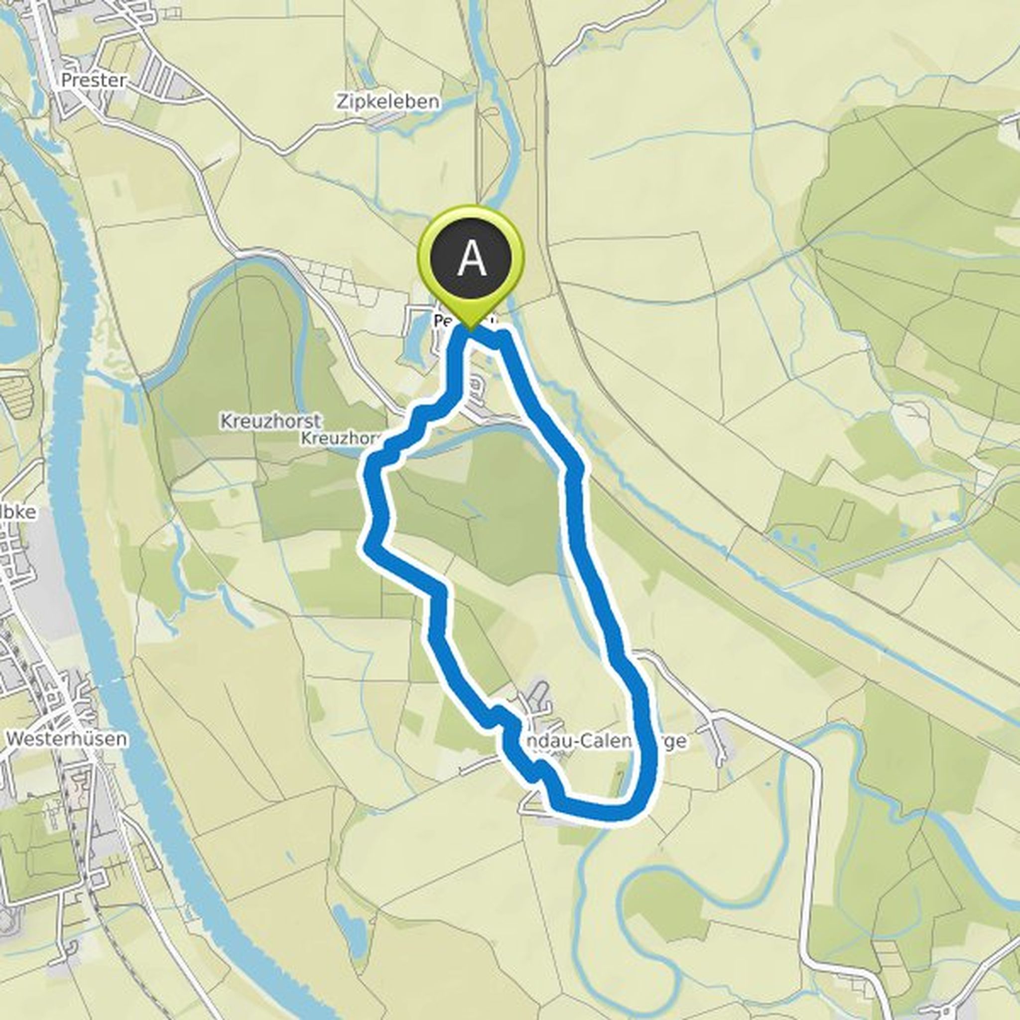
Sabrina planned a hike
October 3, 2020
Time
Distance
Speed
Ascent
Descent
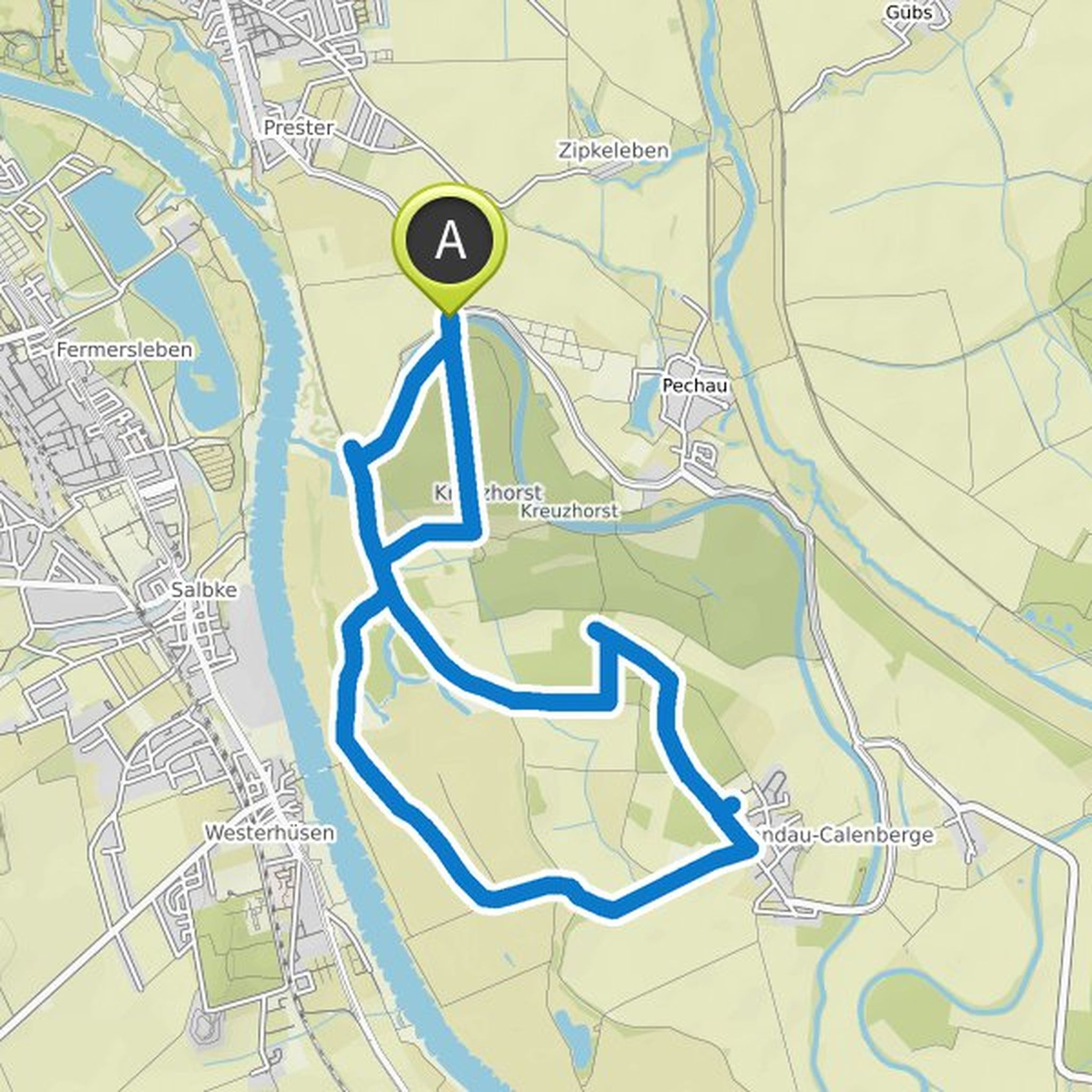
Sabrina planned a hike
October 3, 2020
Time
Distance
Speed
Ascent
Descent
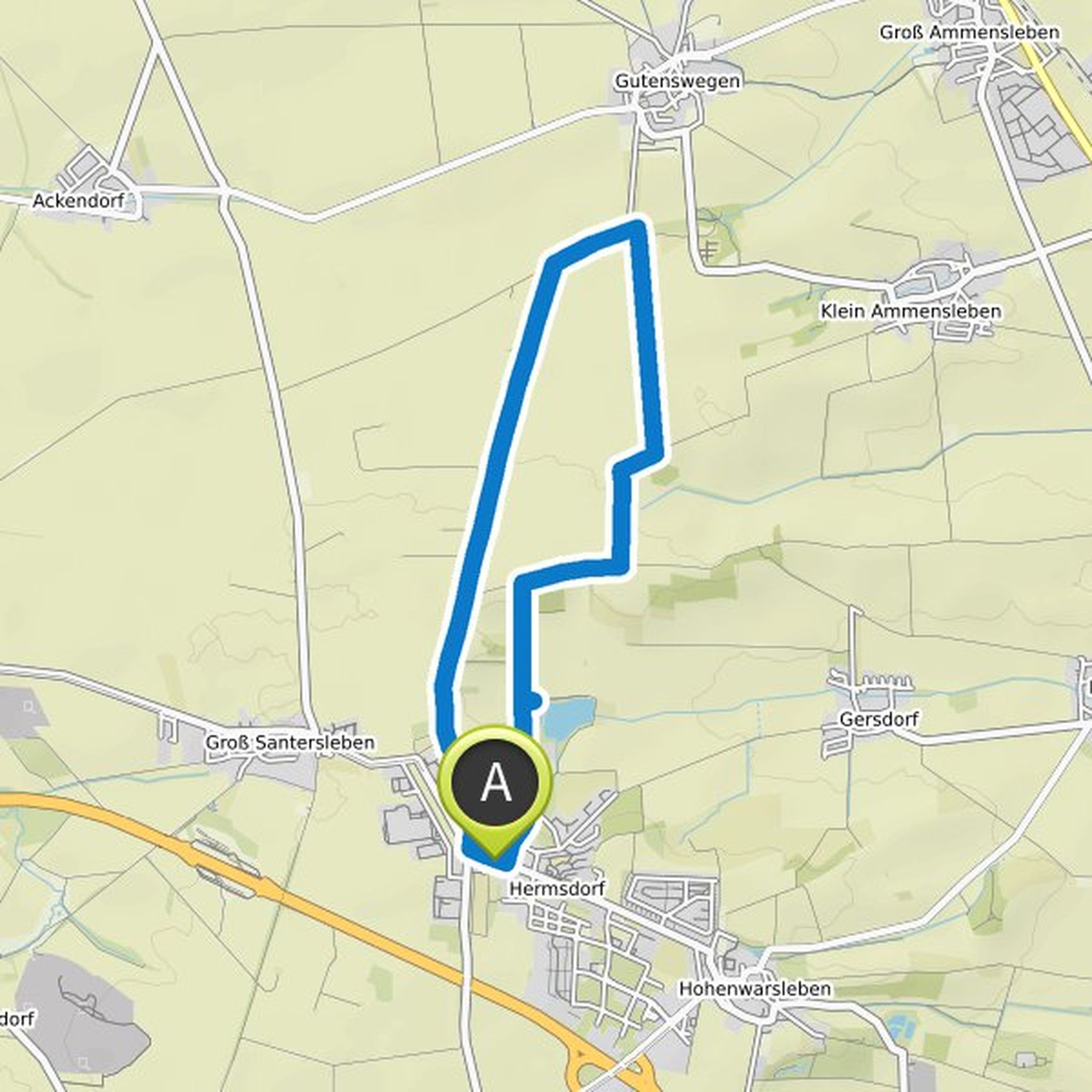
Sabrina planned a hike
October 3, 2020
Time
Distance
Speed
Ascent
Descent
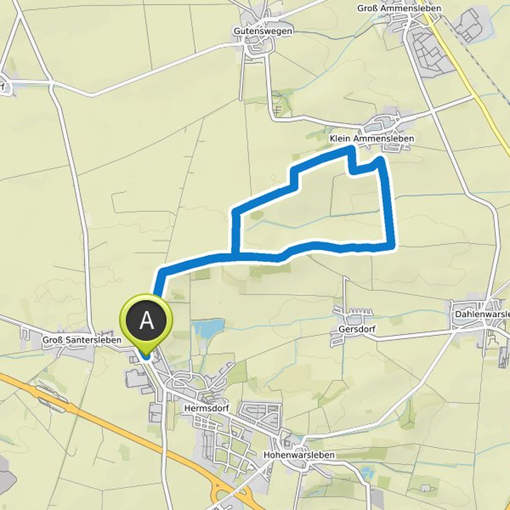
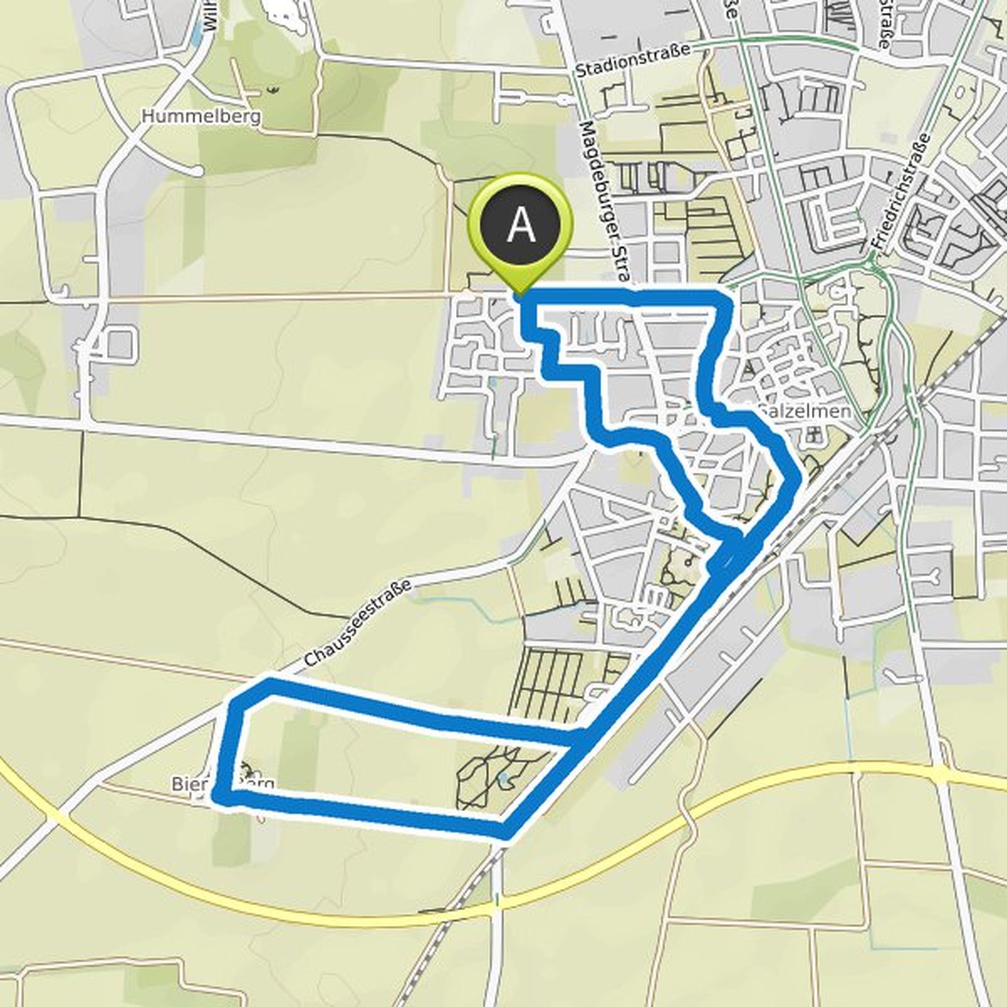
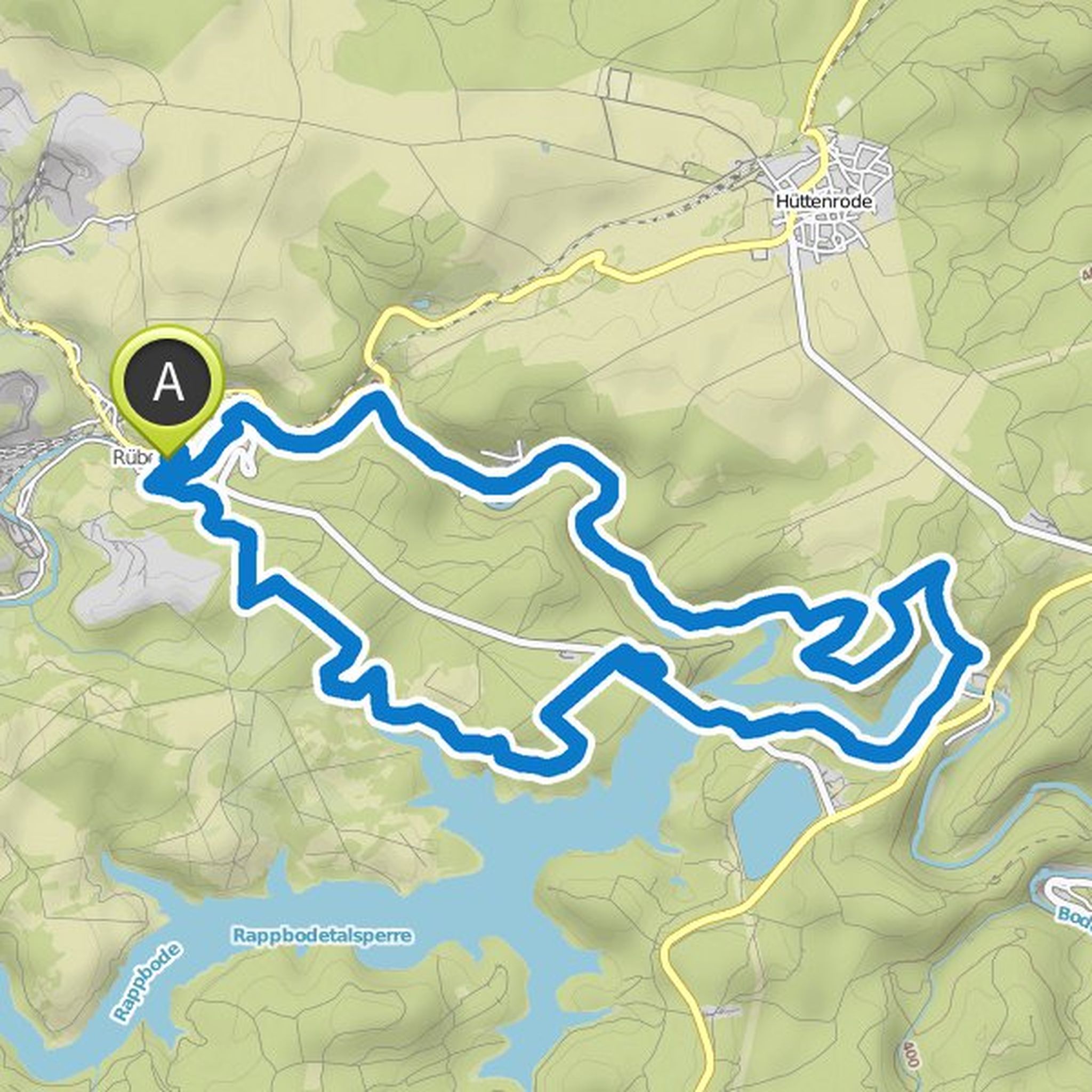
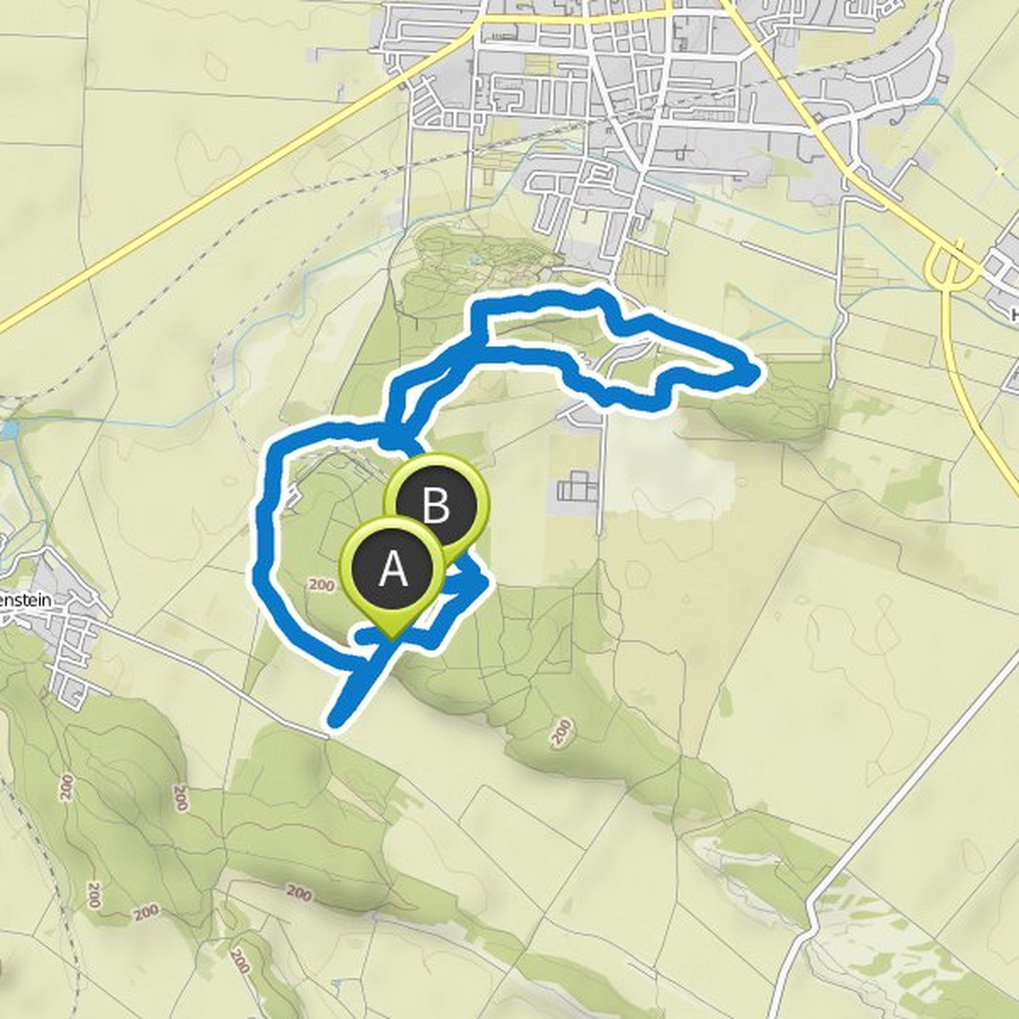
Sabrina planned a hike
October 3, 2020
Time
Distance
Speed
Ascent
Descent
Time
Distance
Speed
Ascent
Descent
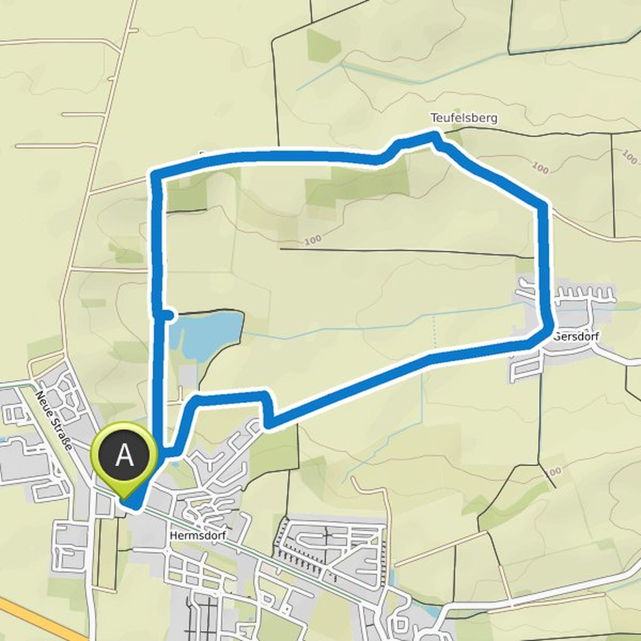
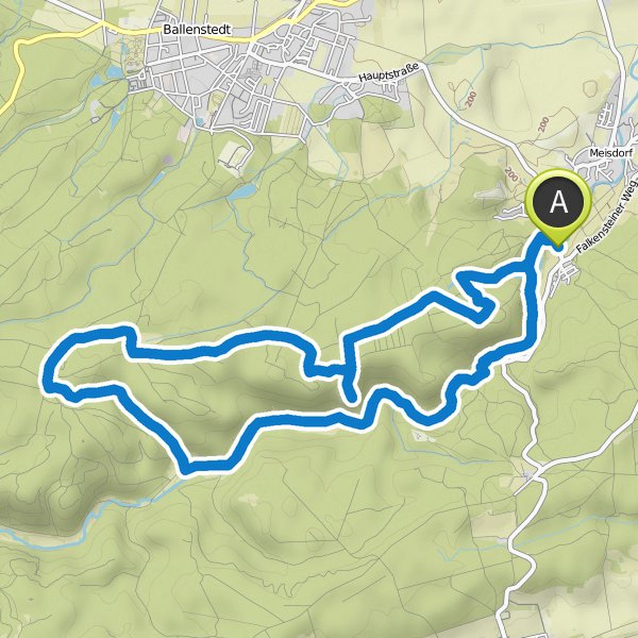
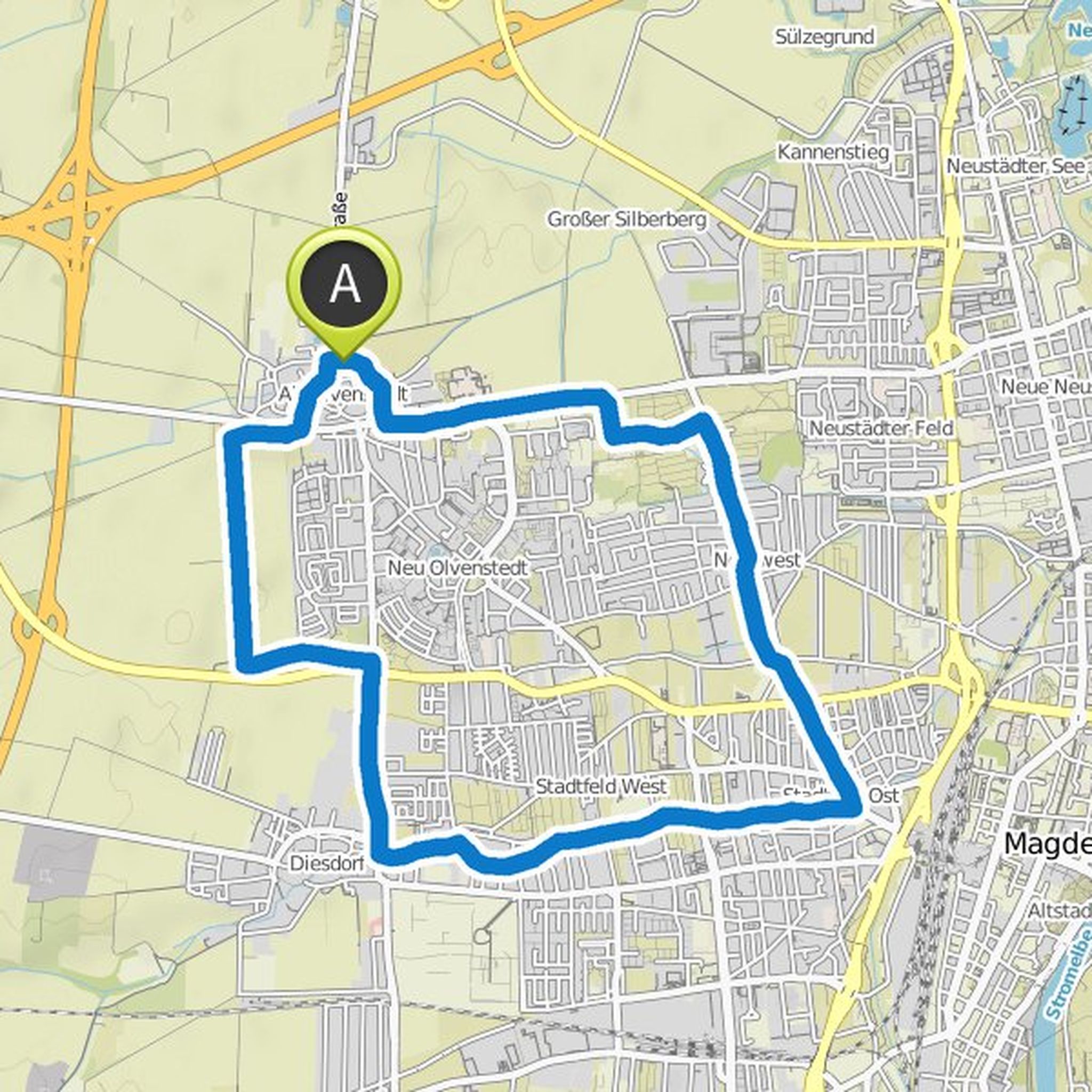
Sabrina planned a hike
September 22, 2020
Time
Distance
Speed
Ascent
Descent
Sabrina planned a hike
September 22, 2020
Time
Distance
Speed
Ascent
Descent
Time
Distance
Speed
Ascent
Descent
Time
Distance
Speed
Ascent
Descent
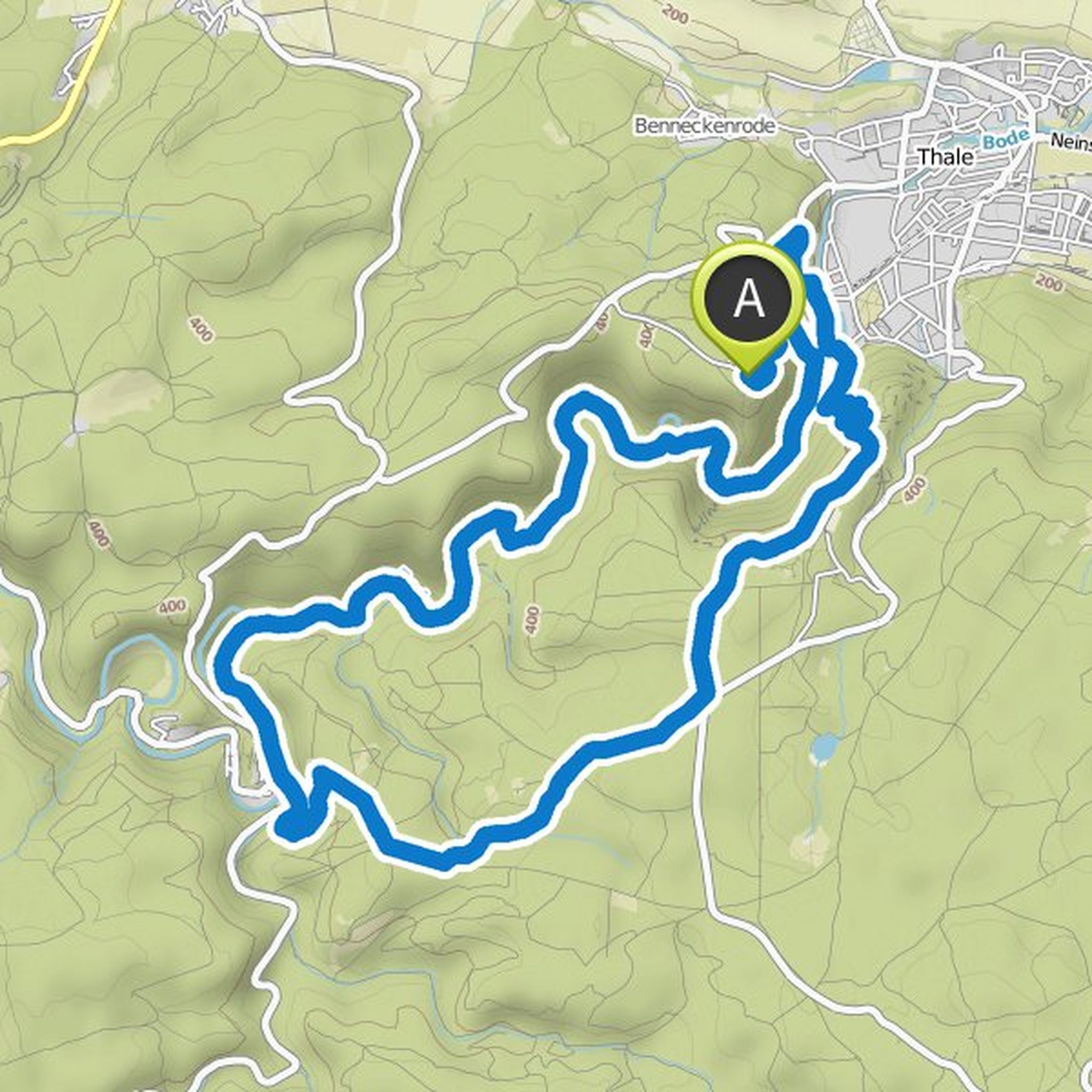
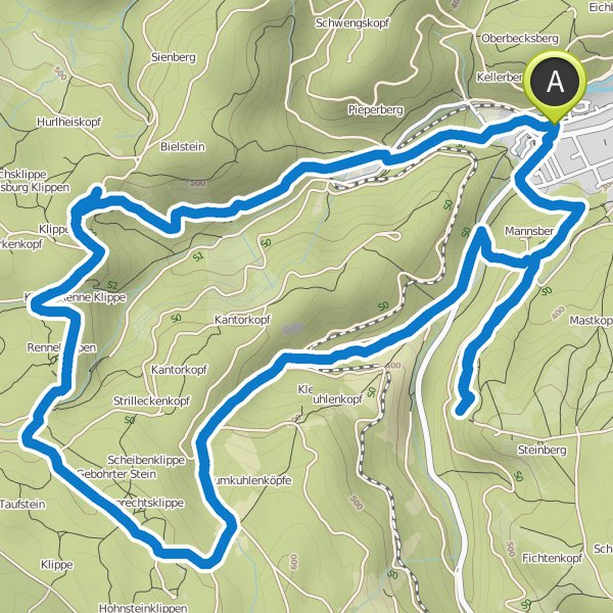
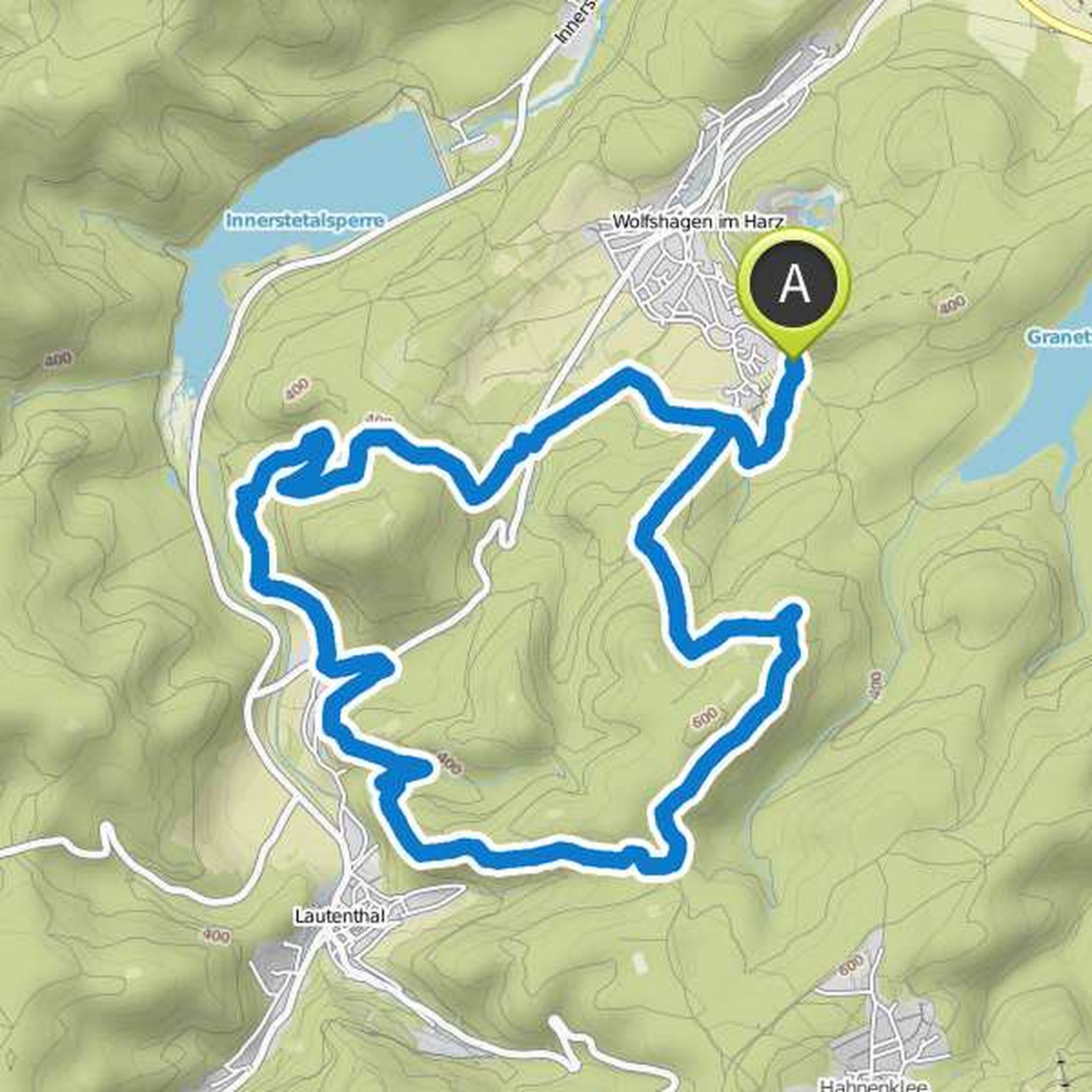
Sabrina planned a hike
March 25, 2019
Time
Distance
Speed
Ascent
Descent
Sabrina planned a hike
March 25, 2019
Time
Distance
Speed
Ascent
Descent
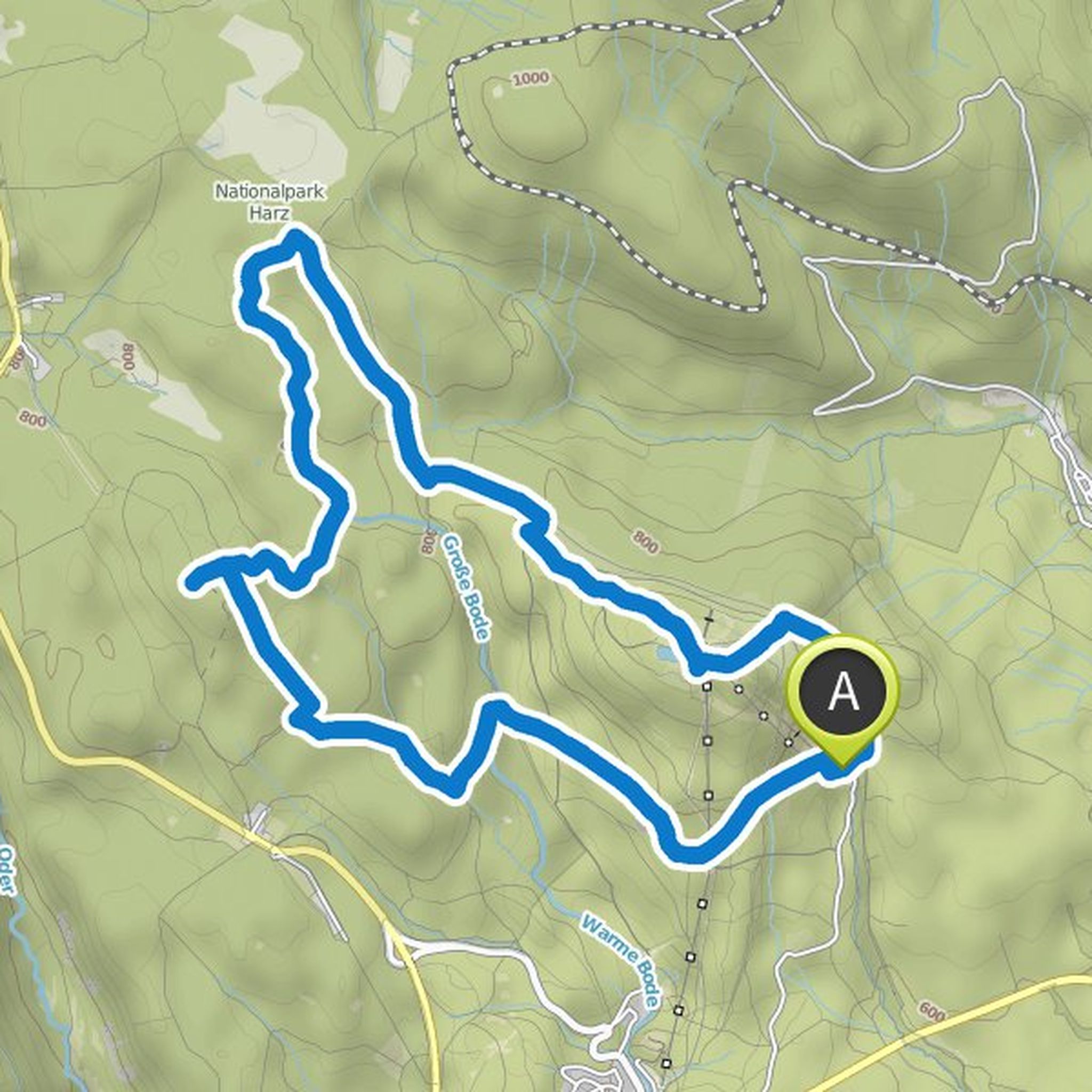
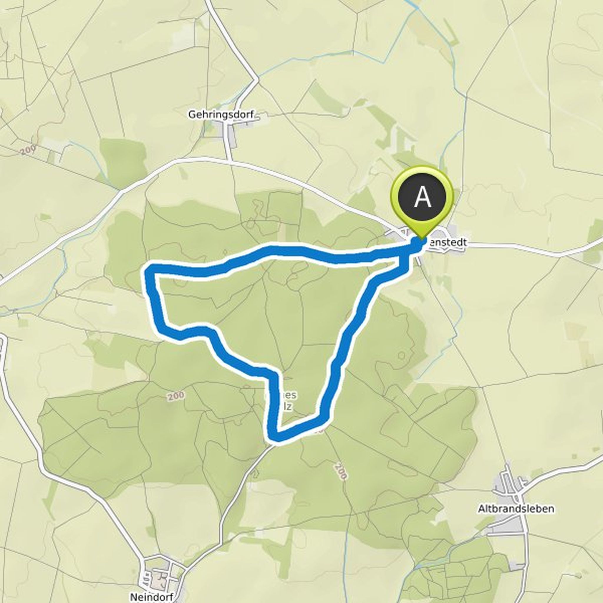
Sabrina planned a hike
February 23, 2019
Time
Distance
Speed
Ascent
Descent
Time
Distance
Speed
Ascent
Descent
Jeannette🐾, Andy and Franzi like this.
Dogtrekking HARZ and others planned a hike
January 20, 2018
Time
Distance
Speed
Ascent
Descent
Andreas and Epi-Dog and Friend´s Alaskan Malamute Chinook like this.
March 26, 2019
The tour looks so gorgeous🤩
Translated by Google •