Timeline
Jonas D. planned a hike
May 27, 2026
Time
4h19m
Distance
12.0km
Speed
2.8km/h
Ascent
530m
Descent
530m
Map data © OpenStreetMap contributors
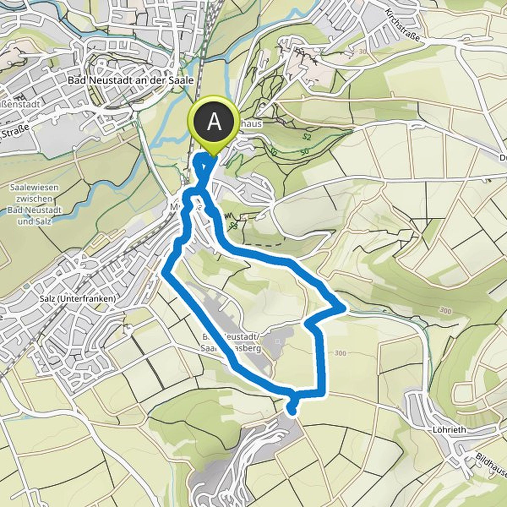
Jonas D. planned a hike
August 25, 2024
Time
2h34m
Distance
6.34km
Speed
2.5km/h
Ascent
160m
Descent
160m
Map data © OpenStreetMap contributors
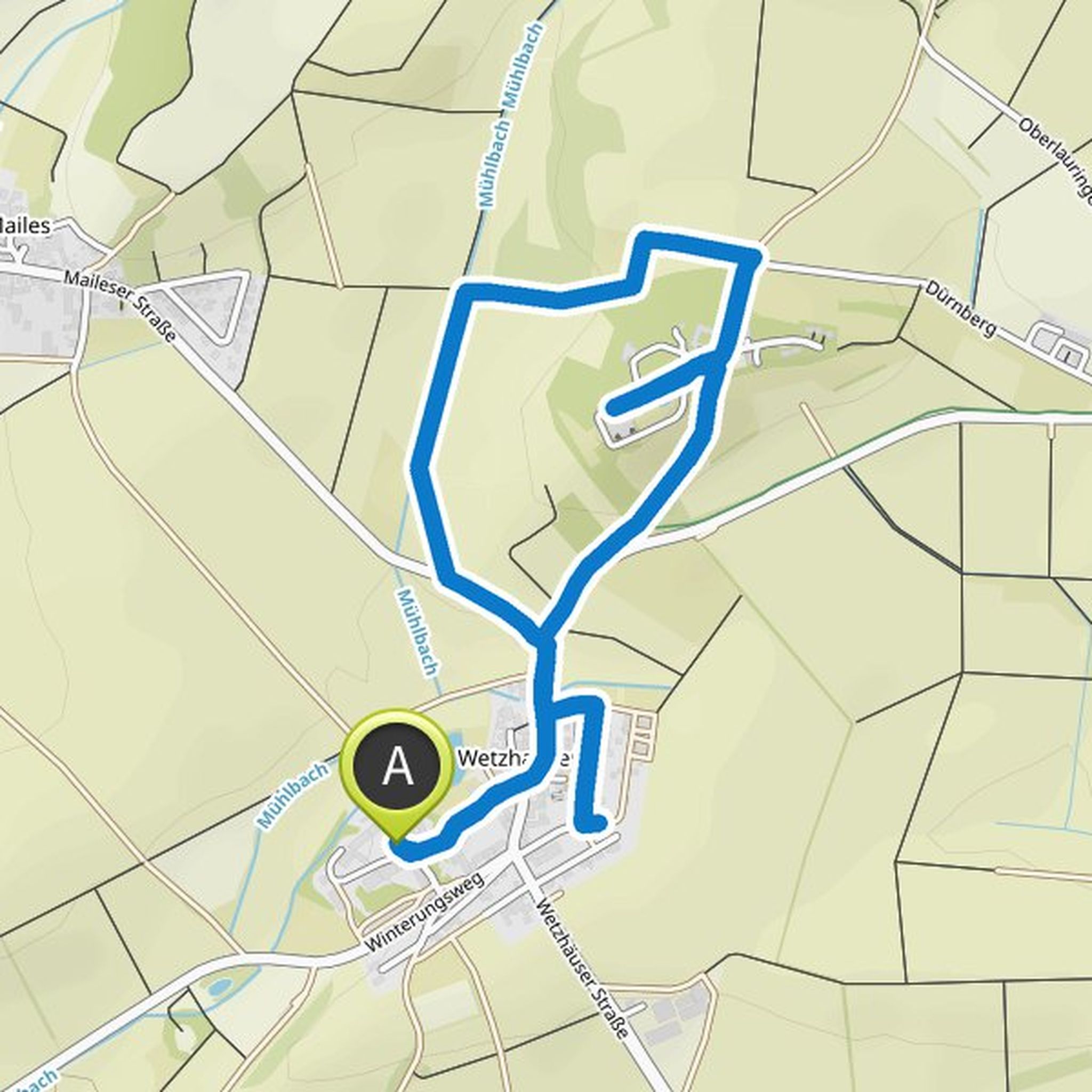
Jonas D. planned a bike ride
August 16, 2024
Time
2h38m
Distance
26.3km
Speed
10.0km/h
Ascent
100m
Descent
100m
Map data © OpenStreetMap contributors
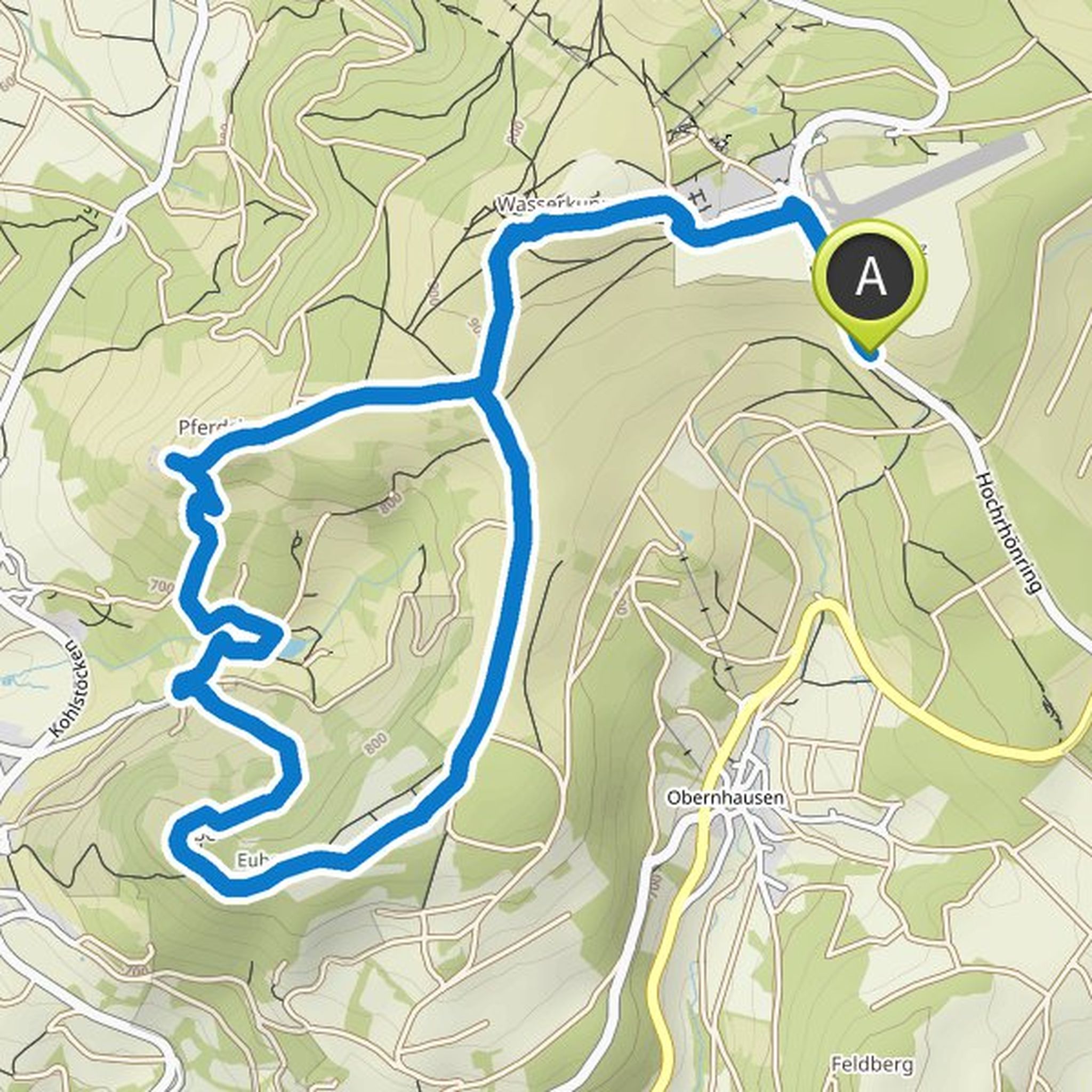
Jonas D. planned a hike
February 15, 2024
Time
2h28m
Distance
5.03km
Speed
2.0km/h
Ascent
220m
Descent
210m
Map data © OpenStreetMap contributors
February 15, 2024
Already walked twice. Beautiful view 🏞🏔
Translated by Google •
Jonas D. planned a hike
April 9, 2023
Time
1h25m
Distance
4.21km
Speed
3.0km/h
Ascent
130m
Descent
140m
Map data © OpenStreetMap contributors
Time
2h22m
Distance
9.05km
Speed
3.8km/h
Ascent
60m
Descent
70m
Map data © OpenStreetMap contributors
Jonas D. planned a hike
August 13, 2022
Time
2h10m
Distance
8.04km
Speed
3.7km/h
Ascent
100m
Descent
100m
Map data © OpenStreetMap contributors
Time
3h52m
Distance
12.3km
Speed
3.2km/h
Ascent
480m
Descent
480m
Map data © OpenStreetMap contributors
Time
3h14m
Distance
10.9km
Speed
3.4km/h
Ascent
310m
Descent
310m
Map data © OpenStreetMap contributors
Time
1h05m
Distance
4.11km
Speed
3.8km/h
Ascent
40m
Descent
40m
Map data © OpenStreetMap contributors
Jonas D. planned a hike
February 27, 2022
Time
1h34m
Distance
5.81km
Speed
3.7km/h
Ascent
80m
Descent
80m
Map data © OpenStreetMap contributors
April 22, 2025
Sturdy footwear is required. Optional ascent to the Elttalter Manndl is only for climbers with safety equipment.
Translated by Google •