Timeline
angelique planned a hike
March 1, 2022
Time
2h28m
Distance
7.61km
Speed
3.1km/h
Ascent
300m
Descent
300m

Map data © OpenStreetMap contributors
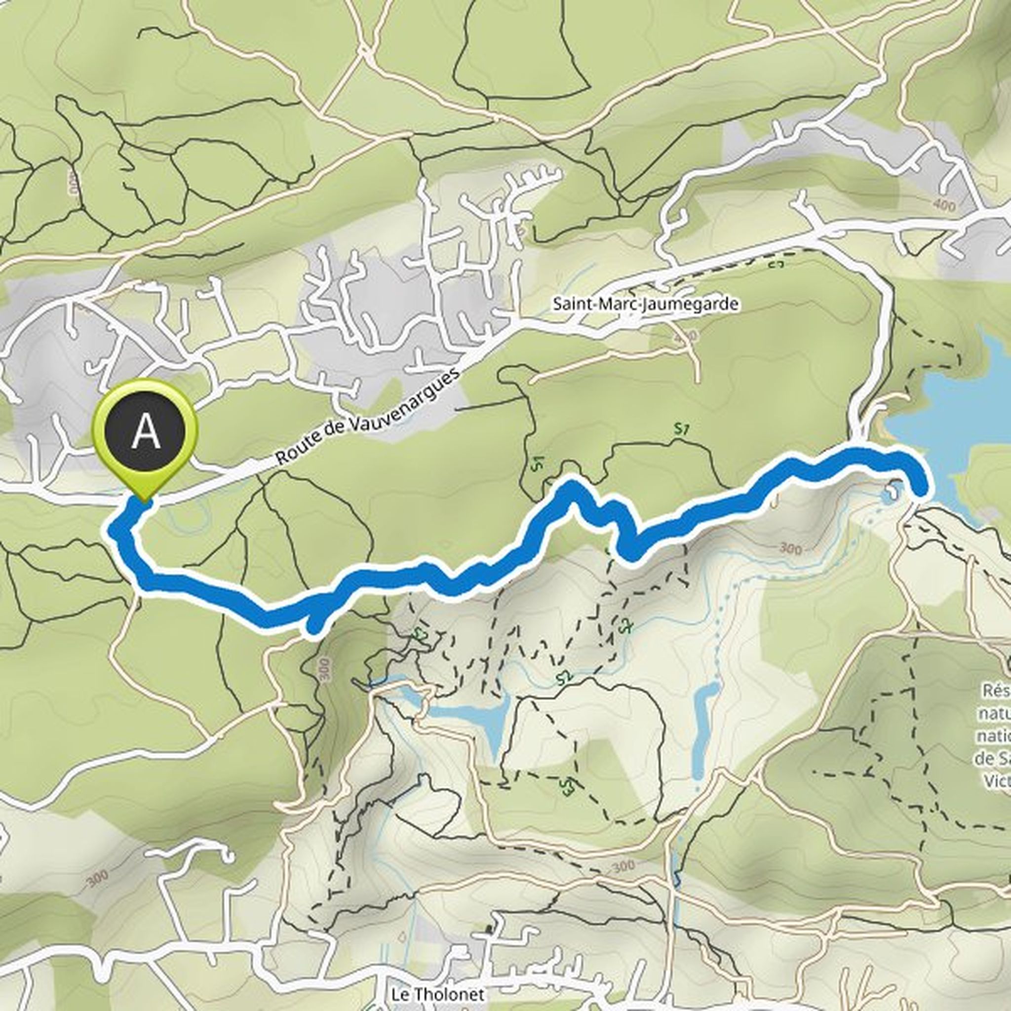
angelique planned a hike
March 1, 2022
Time
2h59m
Distance
10.8km
Speed
3.6km/h
Ascent
180m
Descent
180m

Map data © OpenStreetMap contributors
angelique planned a hike
March 1, 2022
Time
1h44m
Distance
5.44km
Speed
3.1km/h
Ascent
230m
Descent
230m

Map data © OpenStreetMap contributors
angelique planned a hike
March 1, 2022
Time
1h33m
Distance
5.66km
Speed
3.7km/h
Ascent
90m
Descent
90m

Map data © OpenStreetMap contributors
angelique planned a hike
March 1, 2022
Time
2h38m
Distance
9.54km
Speed
3.6km/h
Ascent
160m
Descent
160m
Map data © OpenStreetMap contributors
angelique planned a hike
March 1, 2022
Time
4h22m
Distance
12.7km
Speed
2.9km/h
Ascent
650m
Descent
650m
Map data © OpenStreetMap contributors
angelique planned a hike
March 1, 2022
Time
1h34m
Distance
5.52km
Speed
3.5km/h
Ascent
120m
Descent
120m

Map data © OpenStreetMap contributors
angelique planned a hike
March 1, 2022
Time
2h34m
Distance
8.77km
Speed
3.4km/h
Ascent
230m
Descent
230m

Map data © OpenStreetMap contributors
angelique planned a hike
February 11, 2022
Time
1h59m
Distance
6.47km
Speed
3.3km/h
Ascent
150m
Descent
150m

Map data © OpenStreetMap contributors