Timeline
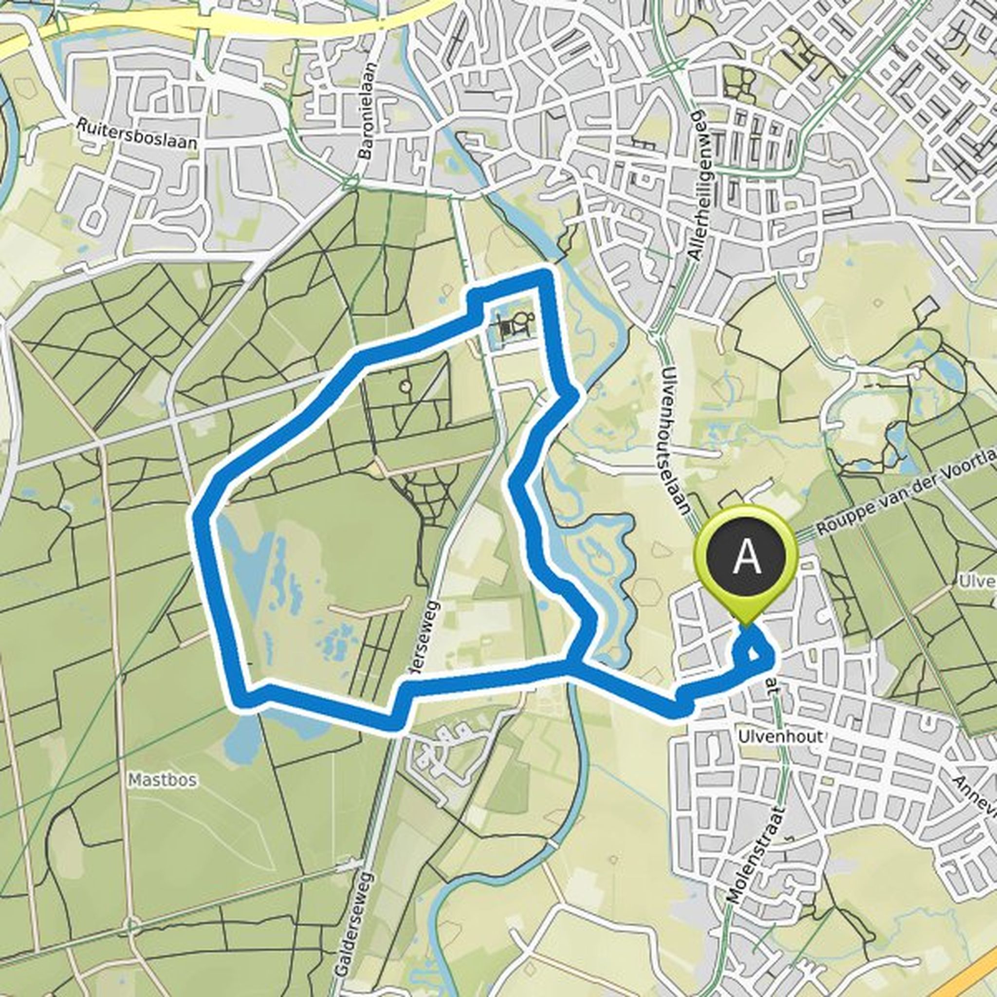
Angelo Boekhout planned a hike
January 2, 2022
Time
Distance
Speed
Ascent
Descent
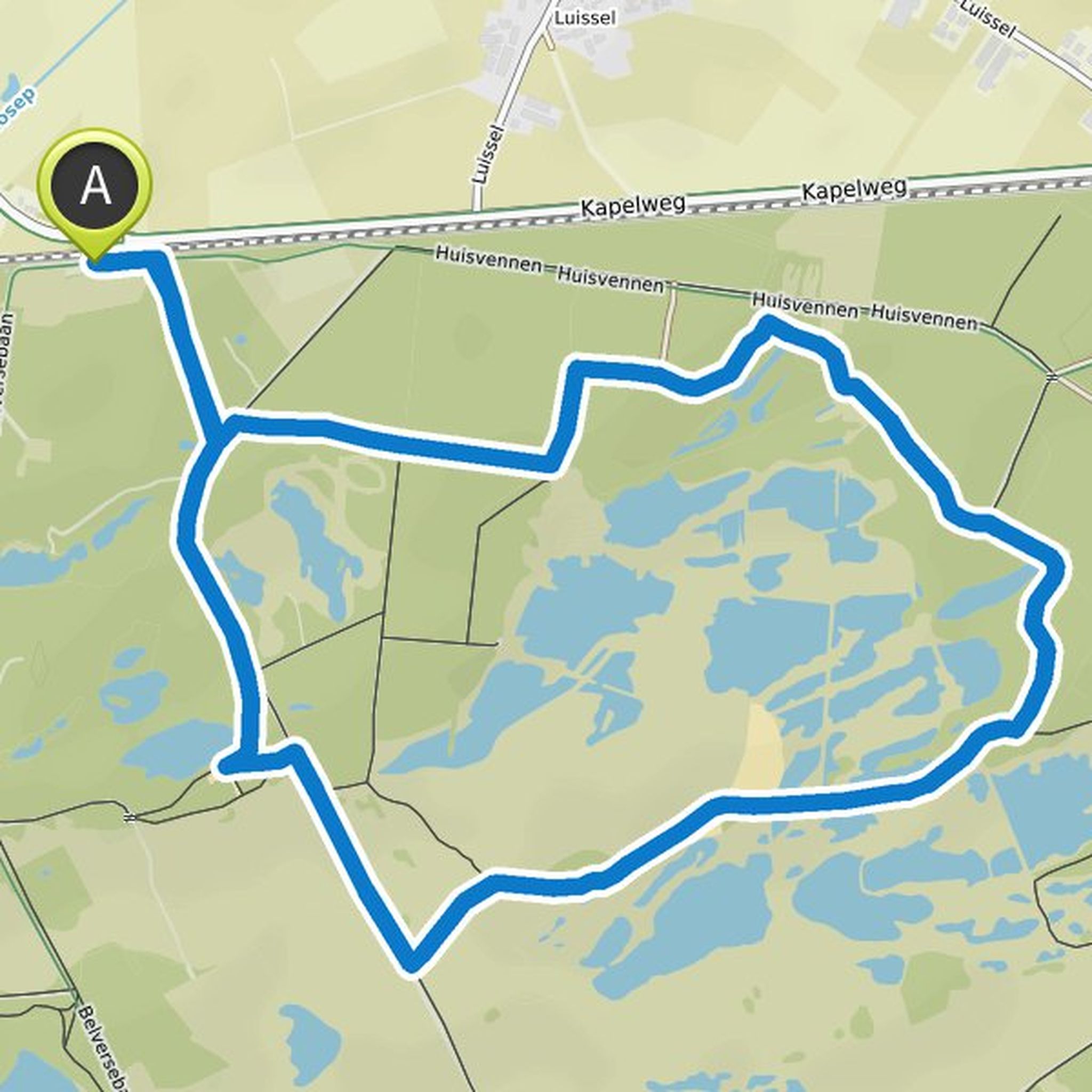
Angelo Boekhout planned a hike
January 2, 2022
Time
Distance
Speed
Ascent
Descent

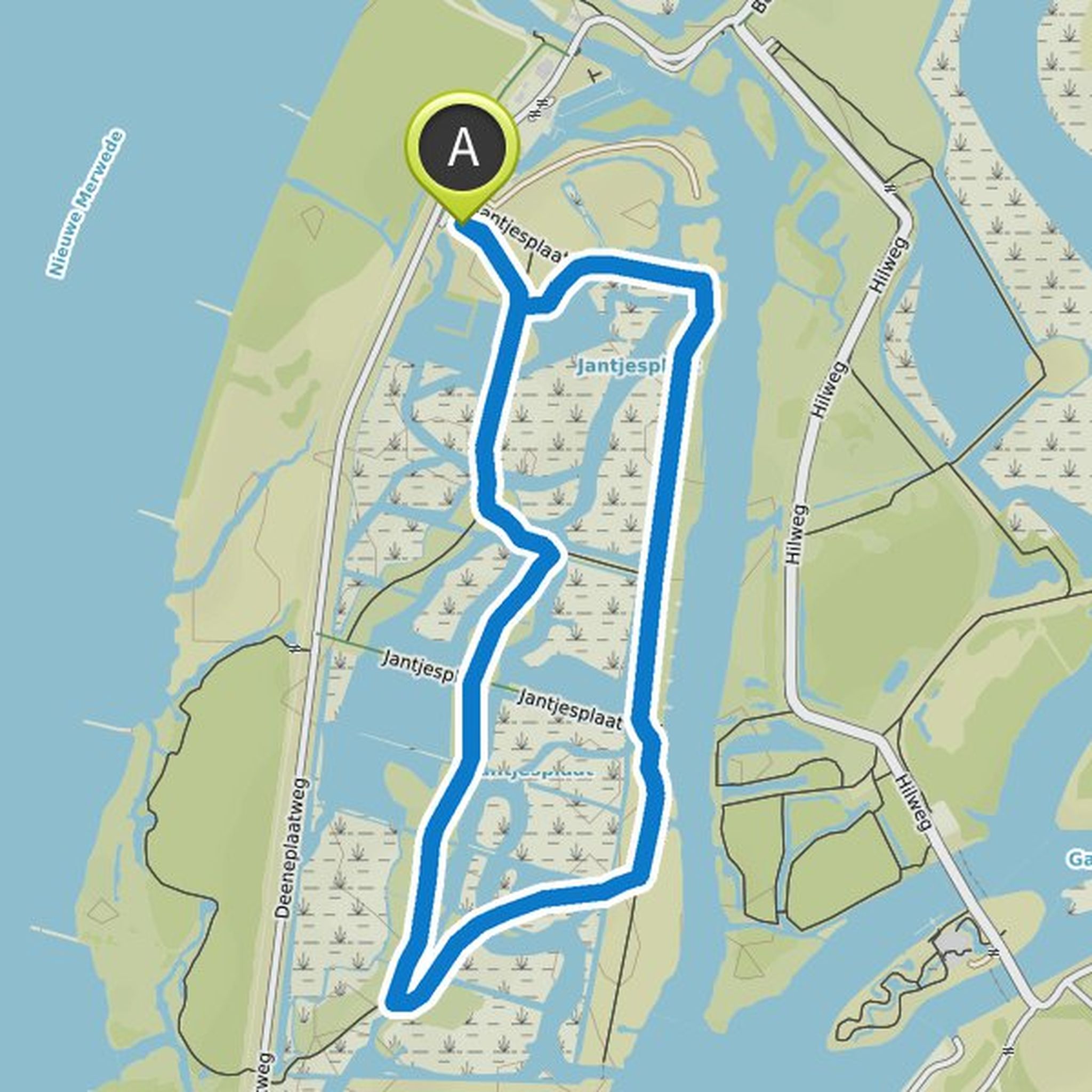
Angelo Boekhout planned a hike
January 2, 2022
Time
Distance
Speed
Ascent
Descent

Angelo Boekhout planned a hike
January 2, 2022
Time
Distance
Speed
Ascent
Descent

Angelo Boekhout planned a hike
January 2, 2022
Time
Distance
Speed
Ascent
Descent
Angelo Boekhout planned a hike
January 2, 2022
Time
Distance
Speed
Ascent
Descent

Angelo Boekhout planned a hike
January 2, 2022
Time
Distance
Speed
Ascent
Descent

Angelo Boekhout planned a hike
January 2, 2022
Time
Distance
Speed
Ascent
Descent

Angelo Boekhout planned a hike
January 2, 2022
Time
Distance
Speed
Ascent
Descent
Angelo Boekhout planned a hike
January 2, 2022
Time
Distance
Speed
Ascent
Descent

Angelo Boekhout planned a hike
January 2, 2022
Time
Distance
Speed
Ascent
Descent
