Timeline
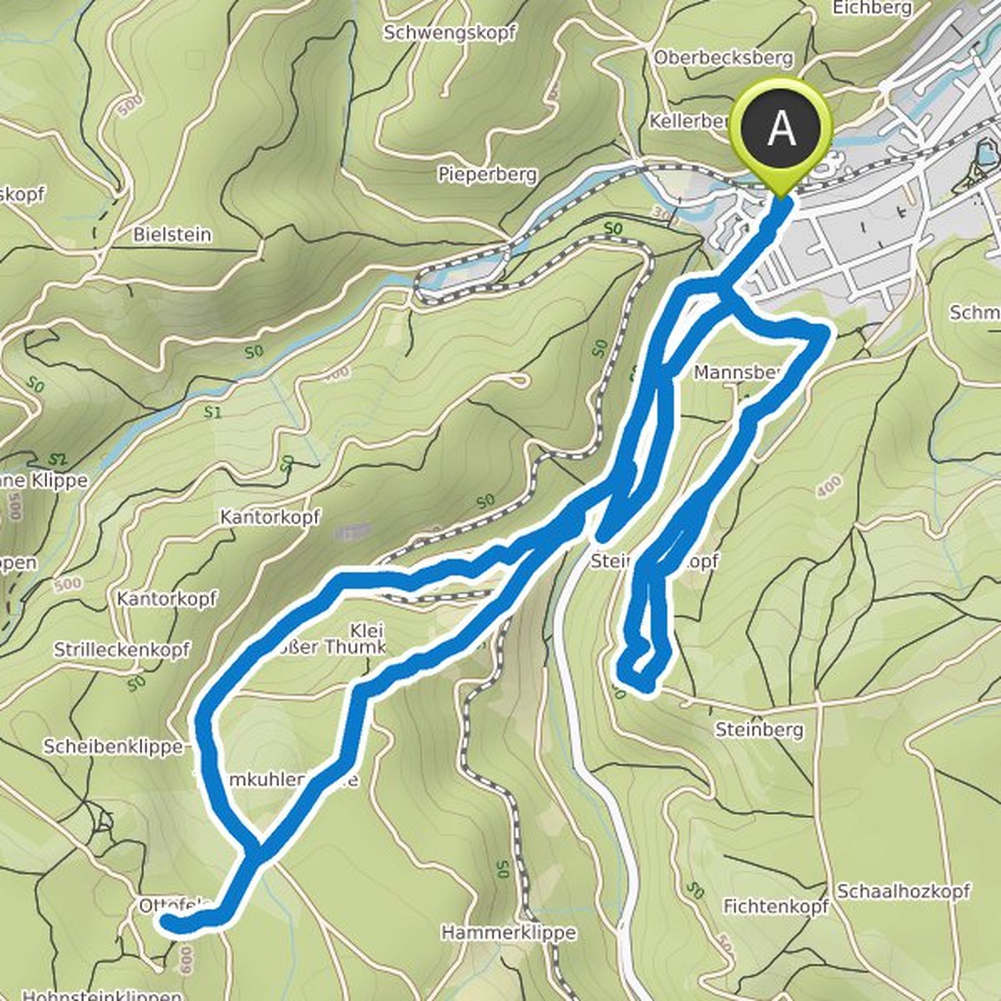
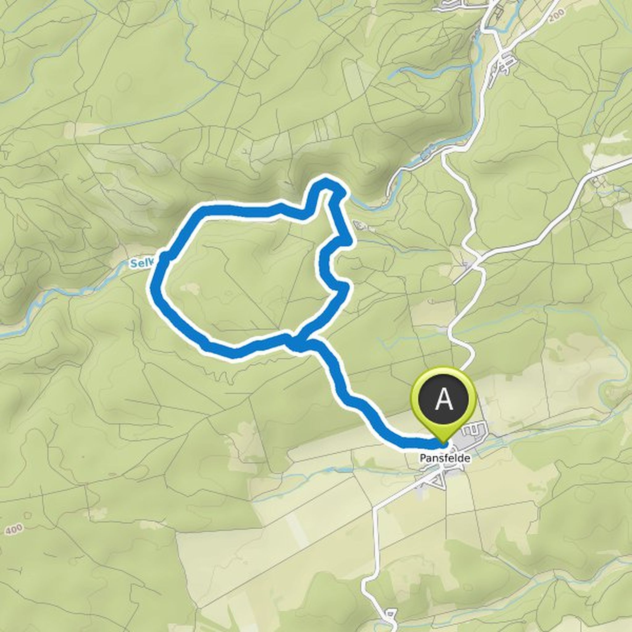
K. P. planned a hike
October 13, 2022
Time
Distance
Speed
Ascent
Descent
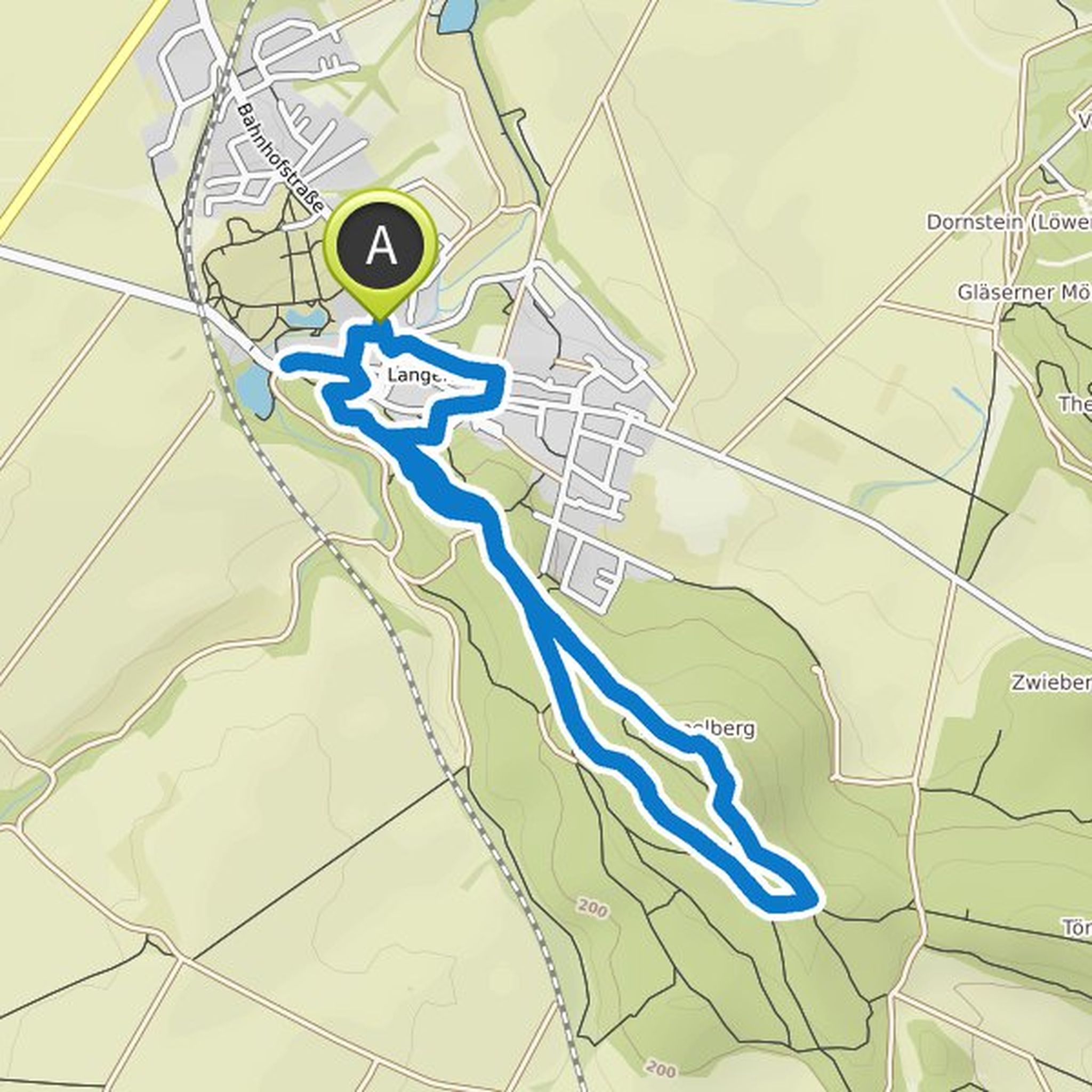
K. P. planned a hike
October 7, 2022
Time
Distance
Speed
Ascent
Descent
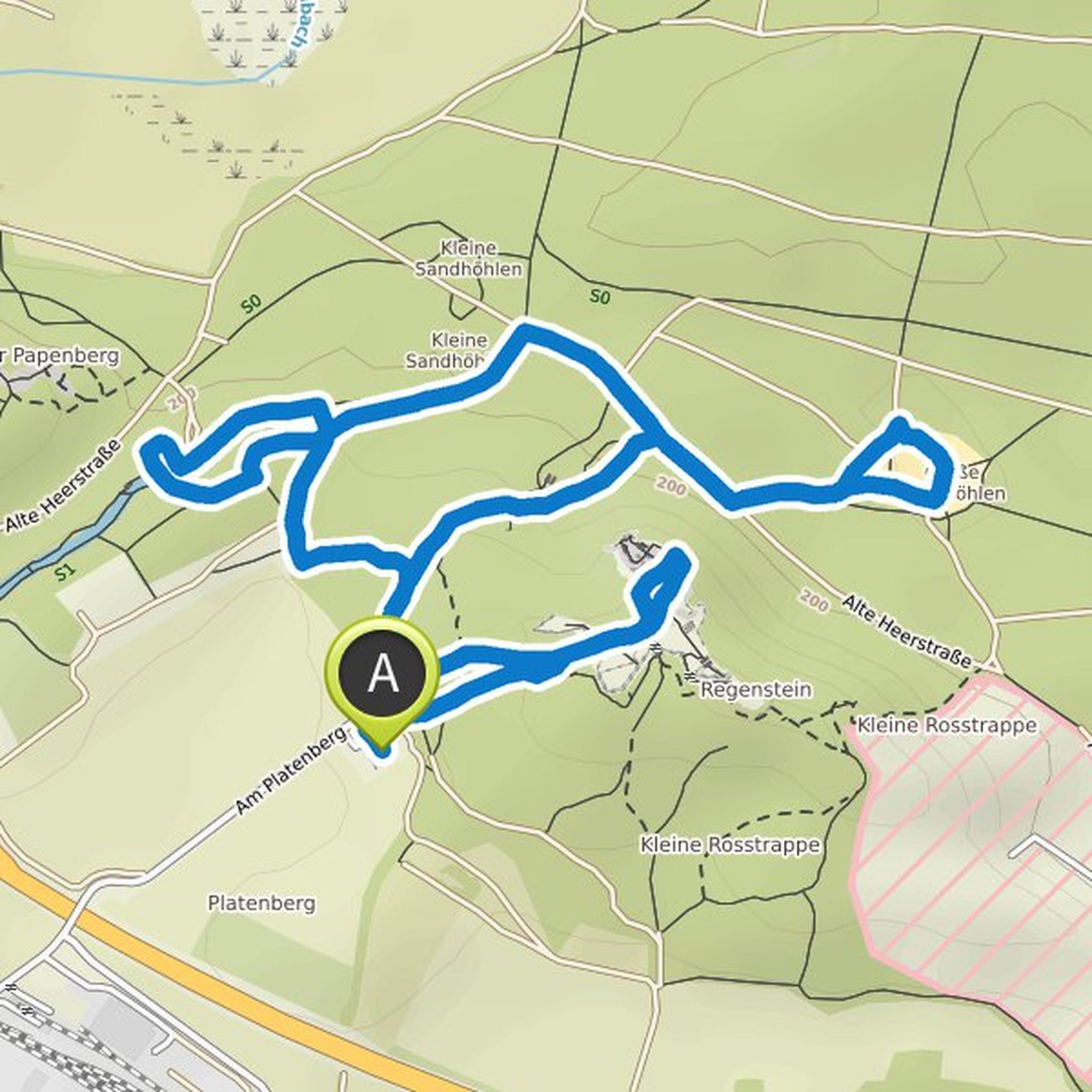
K. P. planned a hike
October 3, 2022
Time
Distance
Speed
Ascent
Descent
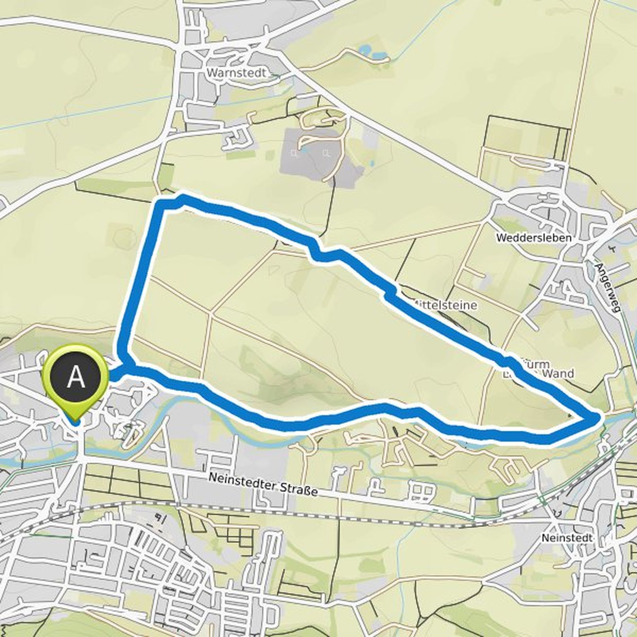
K. P. planned a hike
October 2, 2022
Time
Distance
Speed
Ascent
Descent
K. P. planned a hike
October 2, 2022
Time
Distance
Speed
Ascent
Descent
K. P. planned a hike
August 7, 2022
Time
Distance
Speed
Ascent
Descent
K. P. planned a hike
July 21, 2022
Time
Distance
Speed
Ascent
Descent
K. P. planned a hike
November 5, 2021
Time
Distance
Speed
Ascent
Descent
K. P. planned a hike
November 5, 2021
Time
Distance
Speed
Ascent
Descent
K. P. planned a hike
October 29, 2021
Time
Distance
Speed
Ascent
Descent

K. P. planned a hike
October 29, 2021
Time
Distance
Speed
Ascent
Descent
K. P. planned a hike
October 29, 2021
Time
Distance
Speed
Ascent
Descent

K. P. planned a hike
October 29, 2021
Time
Distance
Speed
Ascent
Descent
K. P. planned a hike
October 29, 2021
Time
Distance
Speed
Ascent
Descent
K. P. planned a hike
October 7, 2021
Time
Distance
Speed
Ascent
Descent
