Timeline
Marcel planned a gravel ride
May 2, 2025
Time
2h56m
Distance
43.6km
Speed
14.8km/h
Ascent
80m
Descent
80m
Map data © OpenStreetMap contributors
Marcel planned a hike
January 26, 2025
Time
5h34m
Distance
20.8km
Speed
3.7km/h
Ascent
230m
Descent
240m
Map data © OpenStreetMap contributors
Marcel planned a hike
March 10, 2022
Time
3h02m
Distance
9.55km
Speed
3.1km/h
Ascent
370m
Descent
370m
Map data © OpenStreetMap contributors
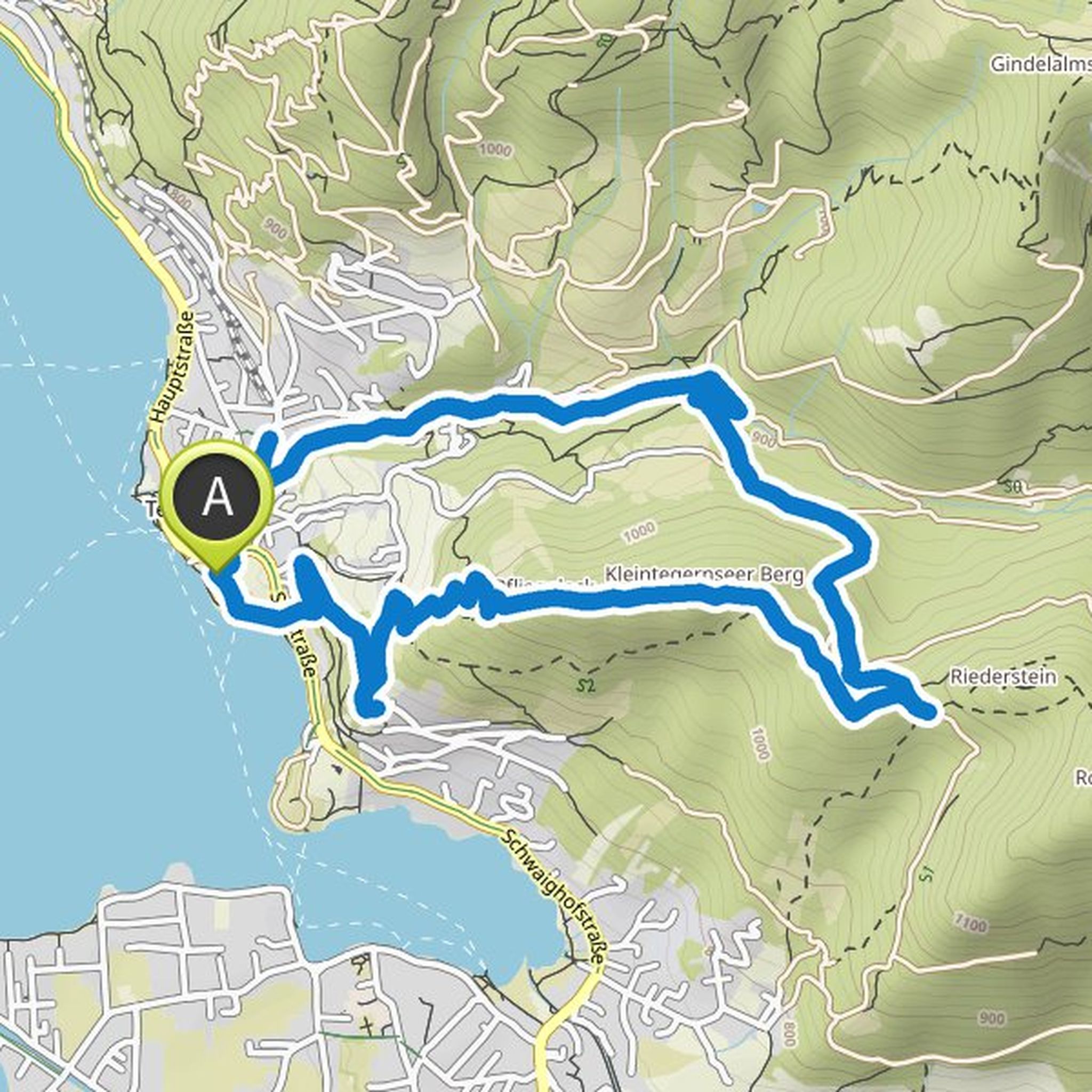
Marcel planned a hike
March 10, 2022
Time
3h22m
Distance
10.2km
Speed
3.0km/h
Ascent
490m
Descent
500m

Map data © OpenStreetMap contributors
Marcel planned a hike
November 20, 2021
Time
3h26m
Distance
11.5km
Speed
3.4km/h
Ascent
330m
Descent
330m

Map data © OpenStreetMap contributors
January 26, 2025
This hike comes from the local history book “Am Weßlinger See” (1986) by Hans Porkert and is described in detail in chapter 20. The author mentions an optional shortcut between waypoints 13 and 18 “over” the Klausbühl.
Notes:
The actually direct route from waypoint 34 to 36 is no longer passable due to
Translated by Google •