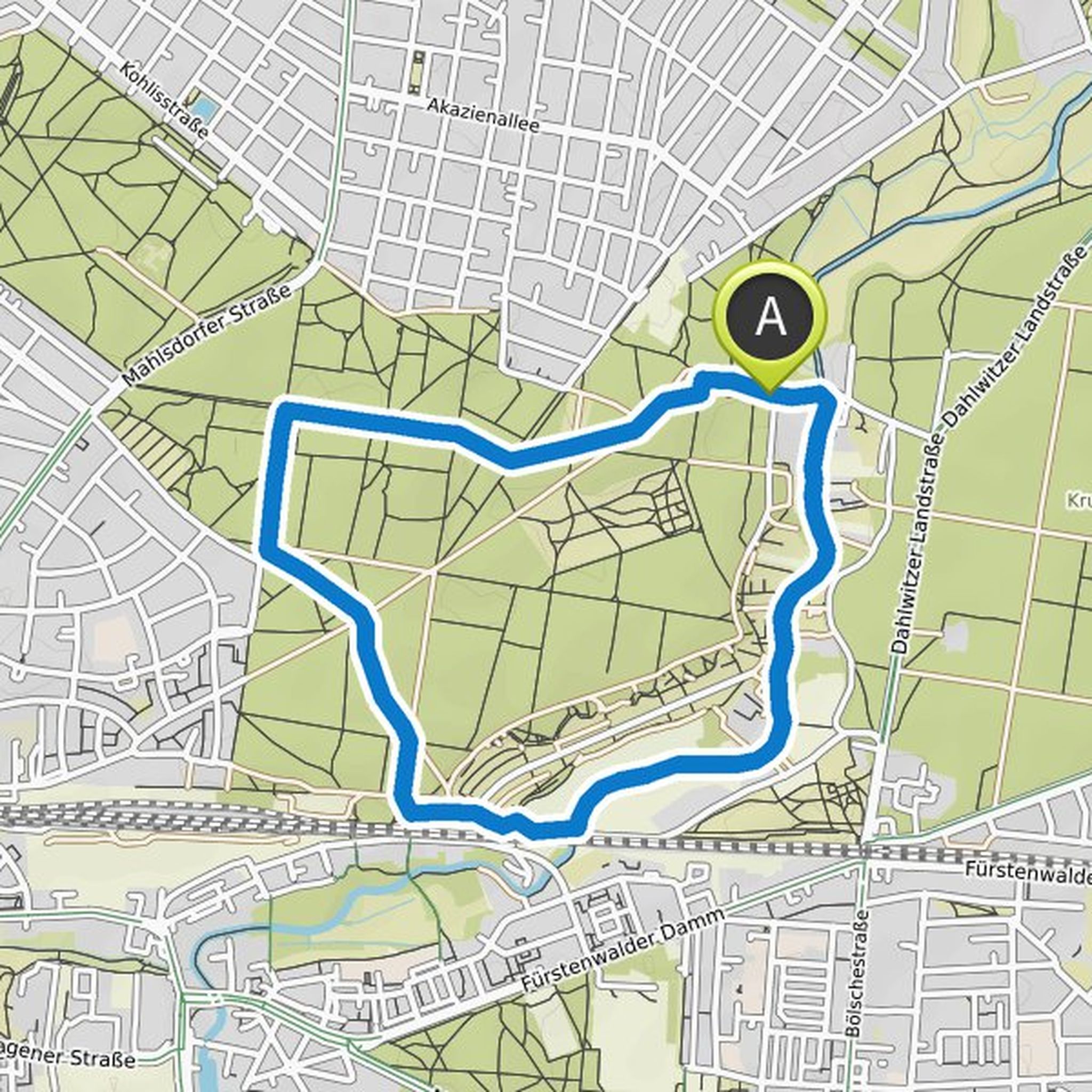
Timeline
Time
3h14m
Distance
12.3km
Speed
3.8km/h
Ascent
110m
Descent
110m

Map data © OpenStreetMap contributors
Time
2h46m
Distance
10.6km
Speed
3.8km/h
Ascent
70m
Descent
70m

Map data © OpenStreetMap contributors
Time
2h03m
Distance
7.79km
Speed
3.8km/h
Ascent
70m
Descent
70m

Map data © OpenStreetMap contributors
Time
2h55m
Distance
11.3km
Speed
3.9km/h
Ascent
60m
Descent
60m

Map data © OpenStreetMap contributors
Time
3h44m
Distance
12.4km
Speed
3.3km/h
Ascent
420m
Descent
420m

Map data © OpenStreetMap contributors
Mandaobst planned a hike
October 10, 2021
Time
5h05m
Distance
12.1km
Speed
2.4km/h
Ascent
680m
Descent
680m
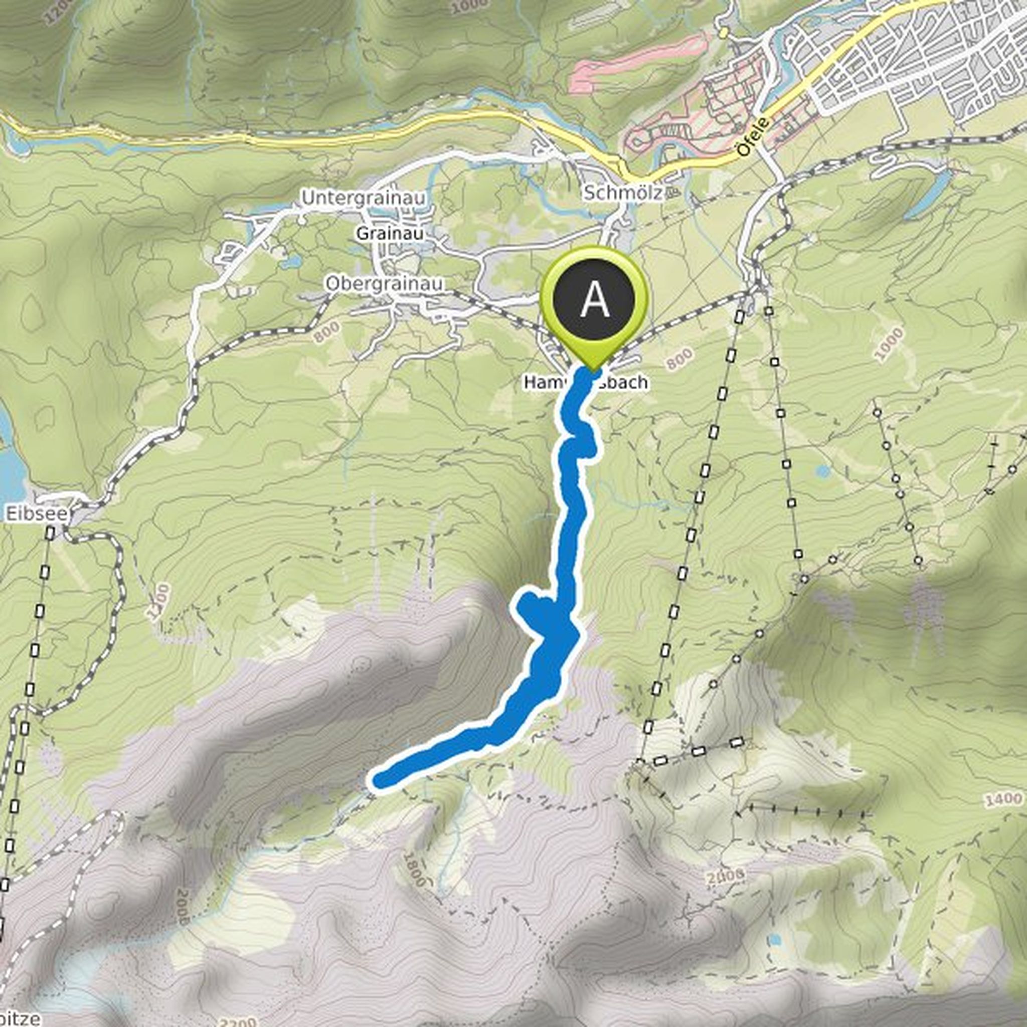
Map data © OpenStreetMap contributors
Time
1h37m
Distance
6.29km
Speed
3.9km/h
Ascent
30m
Descent
30m

Map data © OpenStreetMap contributors
Time
3h09m
Distance
11.8km
Speed
3.7km/h
Ascent
140m
Descent
140m

Map data © OpenStreetMap contributors
Time
1h33m
Distance
6.03km
Speed
3.9km/h
Ascent
20m
Descent
20m
Map data © OpenStreetMap contributors
Mandaobst planned a hike
October 2, 2021
Time
3h47m
Distance
14.7km
Speed
3.9km/h
Ascent
70m
Descent
70m

Map data © OpenStreetMap contributors
Mandaobst planned a hike
October 2, 2021
Time
1h33m
Distance
6.06km
Speed
3.9km/h
Ascent
20m
Descent
20m

Map data © OpenStreetMap contributors
Time
3h23m
Distance
13.3km
Speed
3.9km/h
Ascent
40m
Descent
40m

Map data © OpenStreetMap contributors
Time
2h24m
Distance
9.34km
Speed
3.9km/h
Ascent
40m
Descent
40m

Map data © OpenStreetMap contributors
Mandaobst planned a hike
October 2, 2021
Time
3h45m
Distance
12.8km
Speed
3.4km/h
Ascent
330m
Descent
320m

Map data © OpenStreetMap contributors
Mandaobst planned a hike
September 30, 2021
Time
3h36m
Distance
13.4km
Speed
3.7km/h
Ascent
170m
Descent
170m

Map data © OpenStreetMap contributors