Timeline
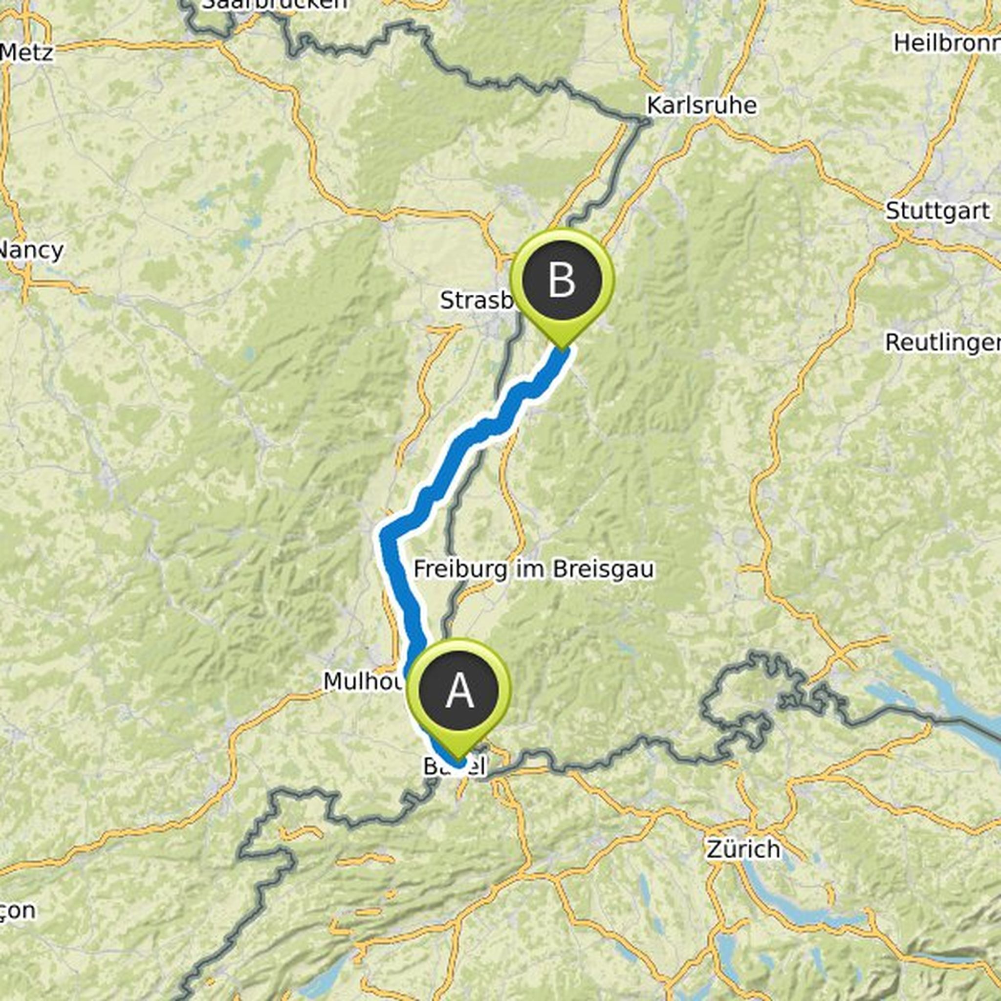
Thorsten planned a road ride
January 23, 2021
Time
Distance
Speed
Ascent
Descent
Thorsten planned a bike ride
November 21, 2020
Time
Distance
Speed
Ascent
Descent

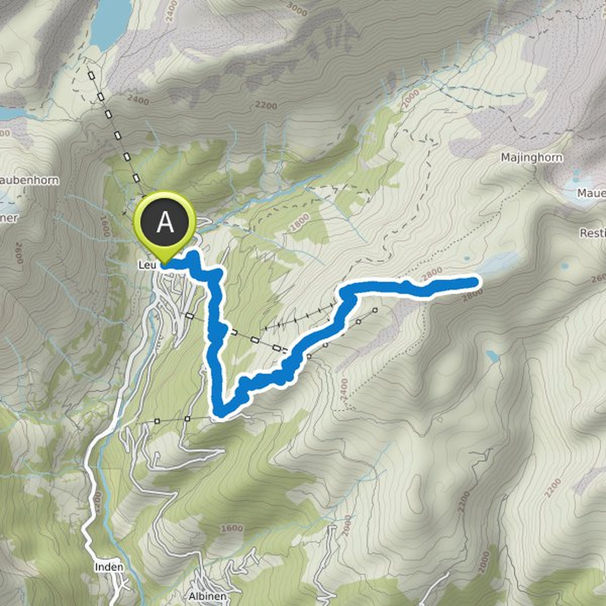
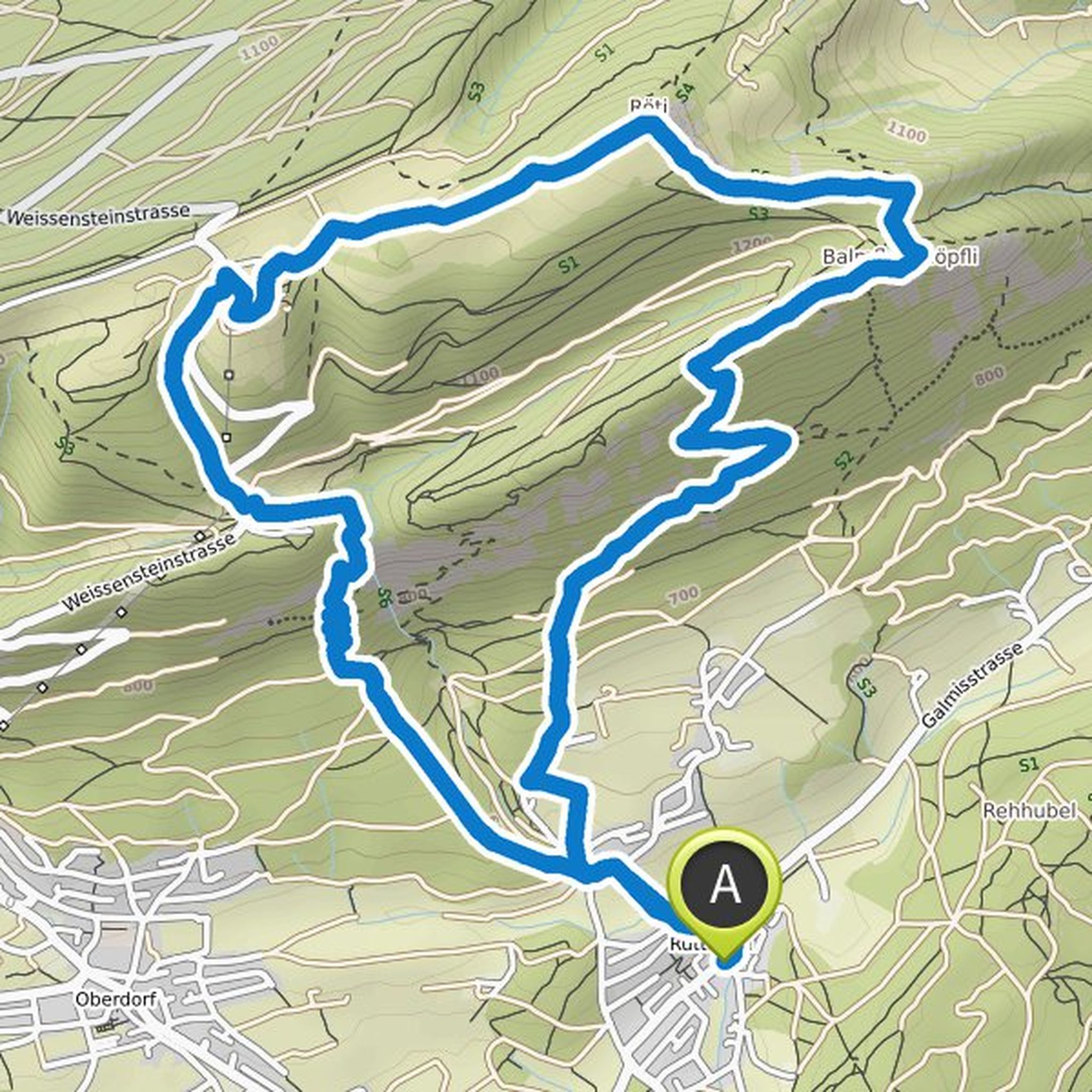
Thorsten planned a hike
August 24, 2020
Time
Distance
Speed
Ascent
Descent
Thorsten planned a hike
August 24, 2020
Time
Distance
Speed
Ascent
Descent

Thorsten planned a hike
August 24, 2020
Time
Distance
Speed
Ascent
Descent

Thorsten planned a hike
August 24, 2020
Time
Distance
Speed
Ascent
Descent
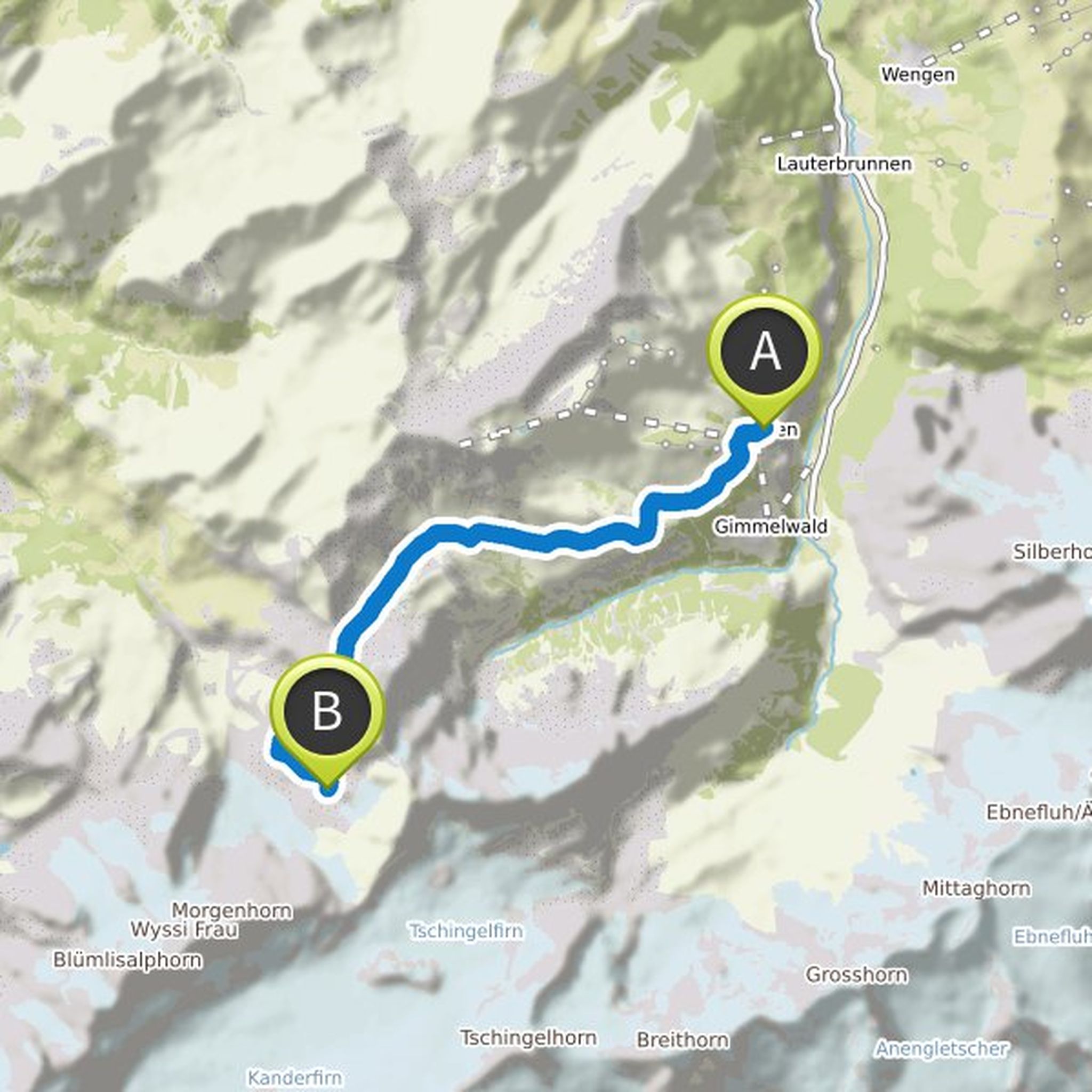
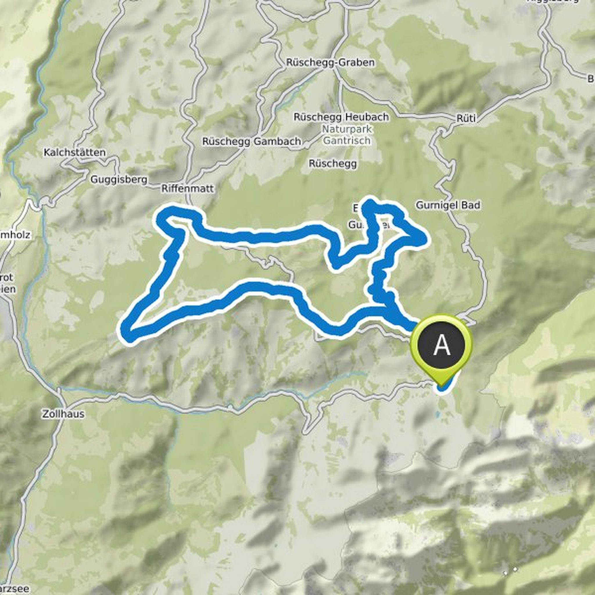
Thorsten planned a mountain bike ride
June 25, 2020
Time
Distance
Speed
Ascent
Descent
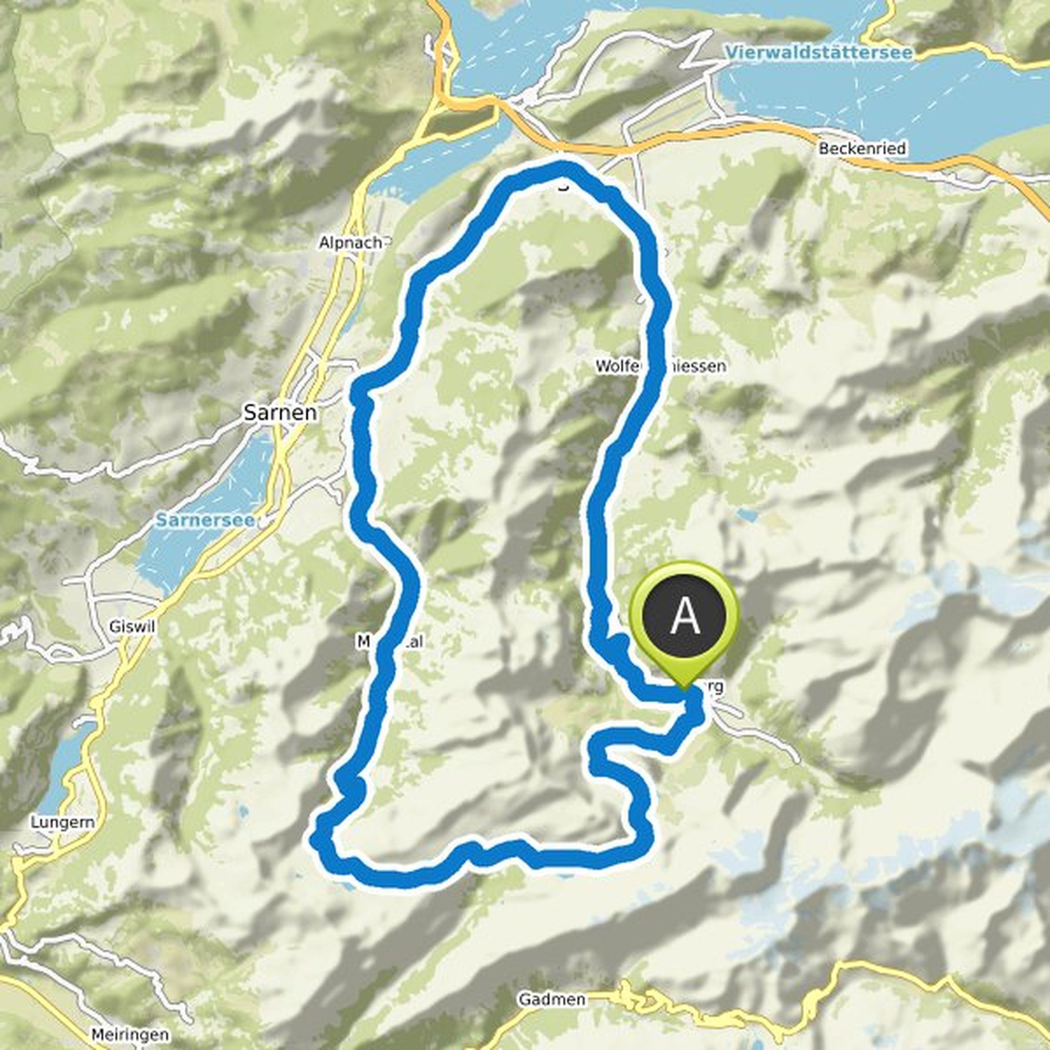
Thorsten planned a mountain bike ride
June 18, 2020
Time
Distance
Speed
Ascent
Descent
Thorsten planned a road ride
June 12, 2020
Time
Distance
Speed
Ascent
Descent


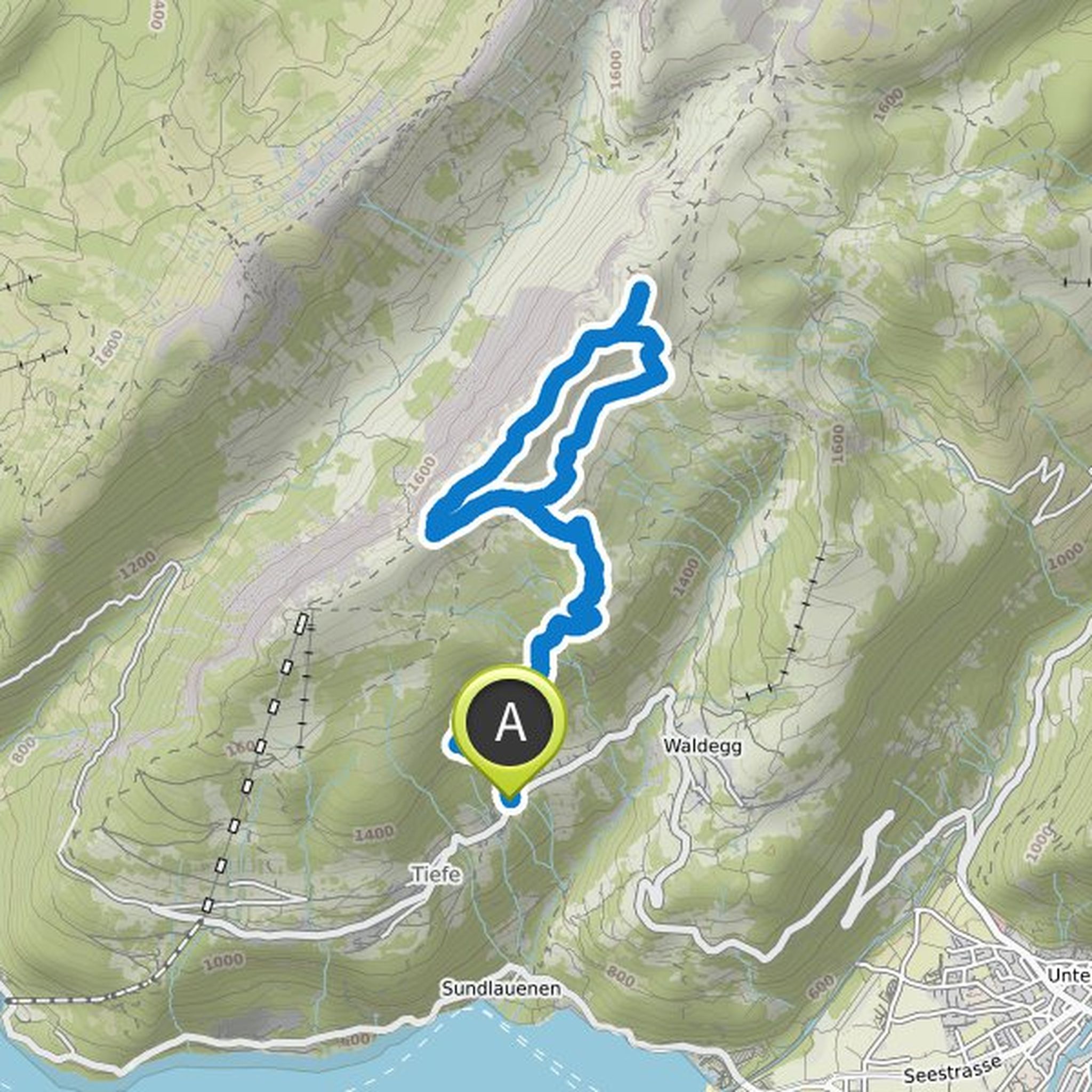
Thorsten planned a hike
June 1, 2020
Time
Distance
Speed
Ascent
Descent
Thorsten planned a mountain bike ride
May 25, 2020
Time
Distance
Speed
Ascent
Descent

Thorsten planned a hike
May 17, 2020
Time
Distance
Speed
Ascent
Descent
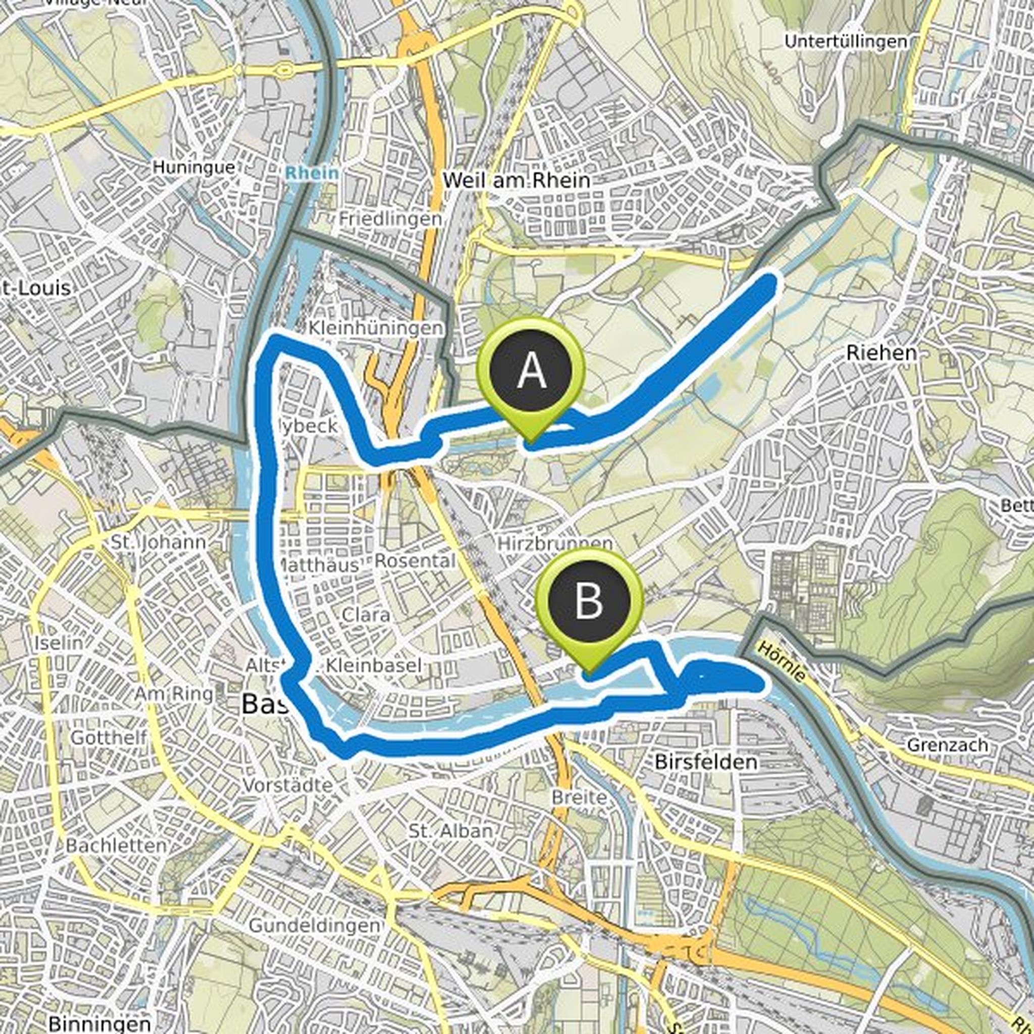
Thorsten planned a run
May 2, 2020
Time
Distance
Pace
Ascent
Descent
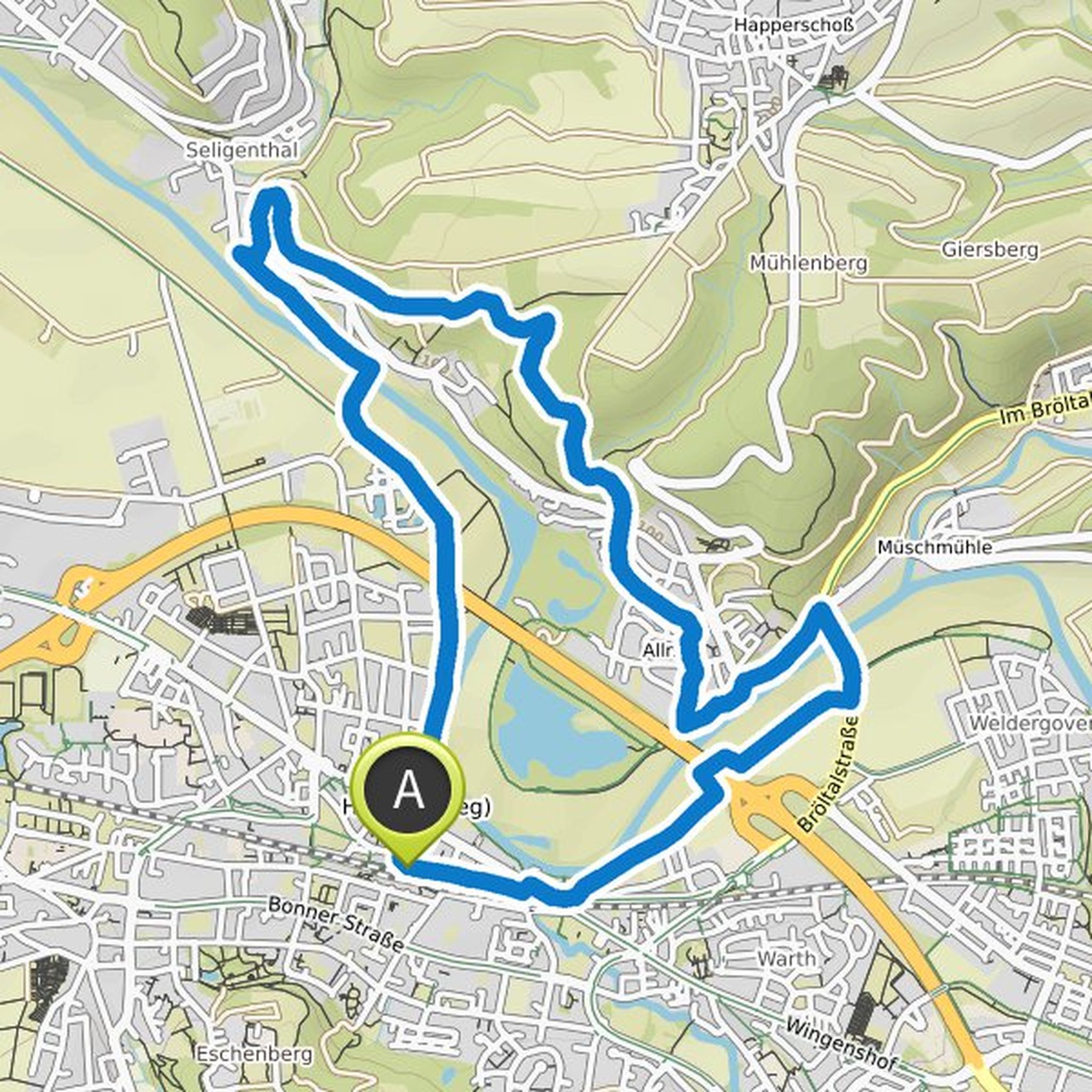
Thorsten planned a hike
April 9, 2020
Time
Distance
Speed
Ascent
Descent
June 29, 2022
You can't write messages on Komoot, so I'll just comment 😅 I found the collection "On old railway lines from Mostar to Dubrovnik - Ciro Trail" - you can see where we went wrong and where the tunnels were: https://www .komoot.de/collection/1087755/auf-alten-bahntrassen-von-mostar-nach-dubrovnik-ciro-trail
Translated by Google •