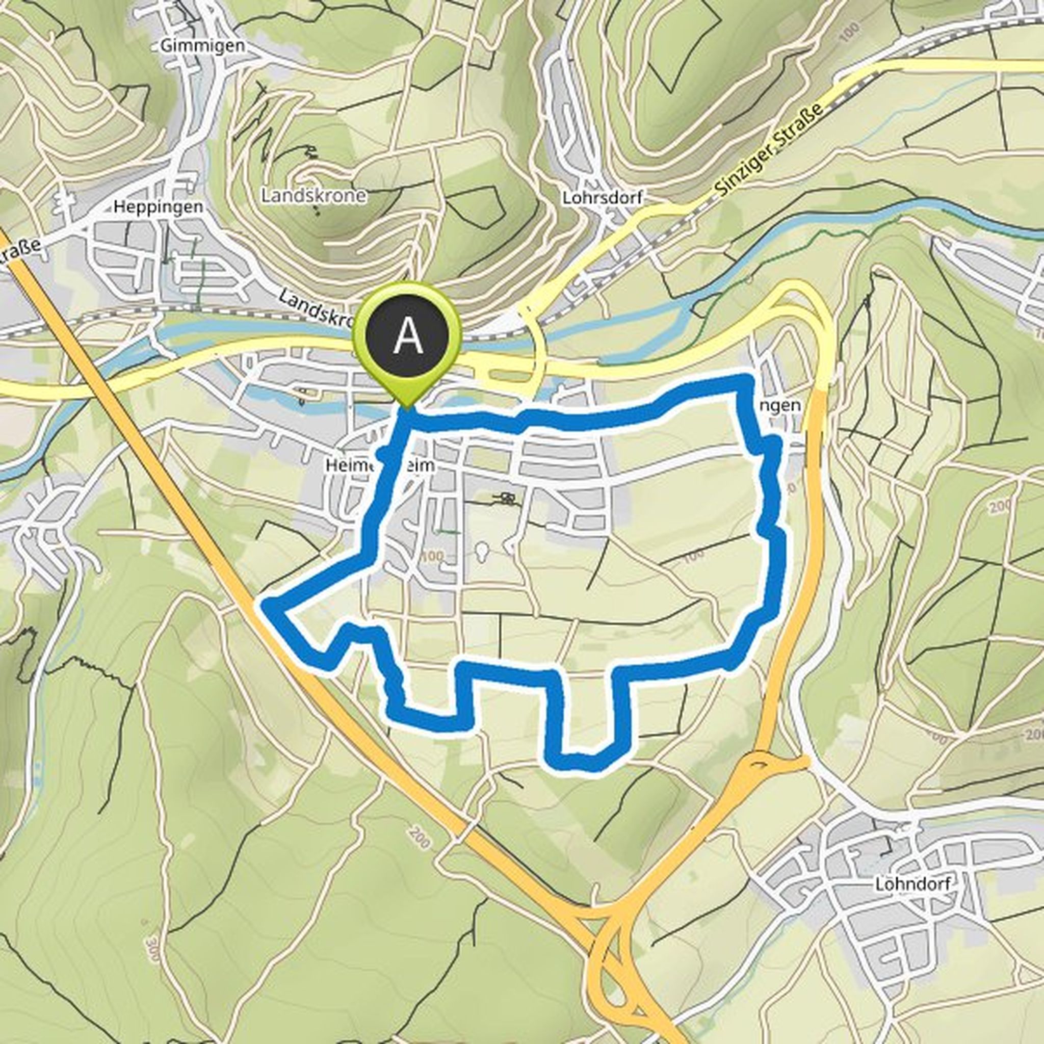
Timeline
Ingo Konrads planned a hike
October 3, 2022
Time
1h59m
Distance
7.13km
Speed
3.6km/h
Ascent
140m
Descent
140m
Map data © OpenStreetMap contributors
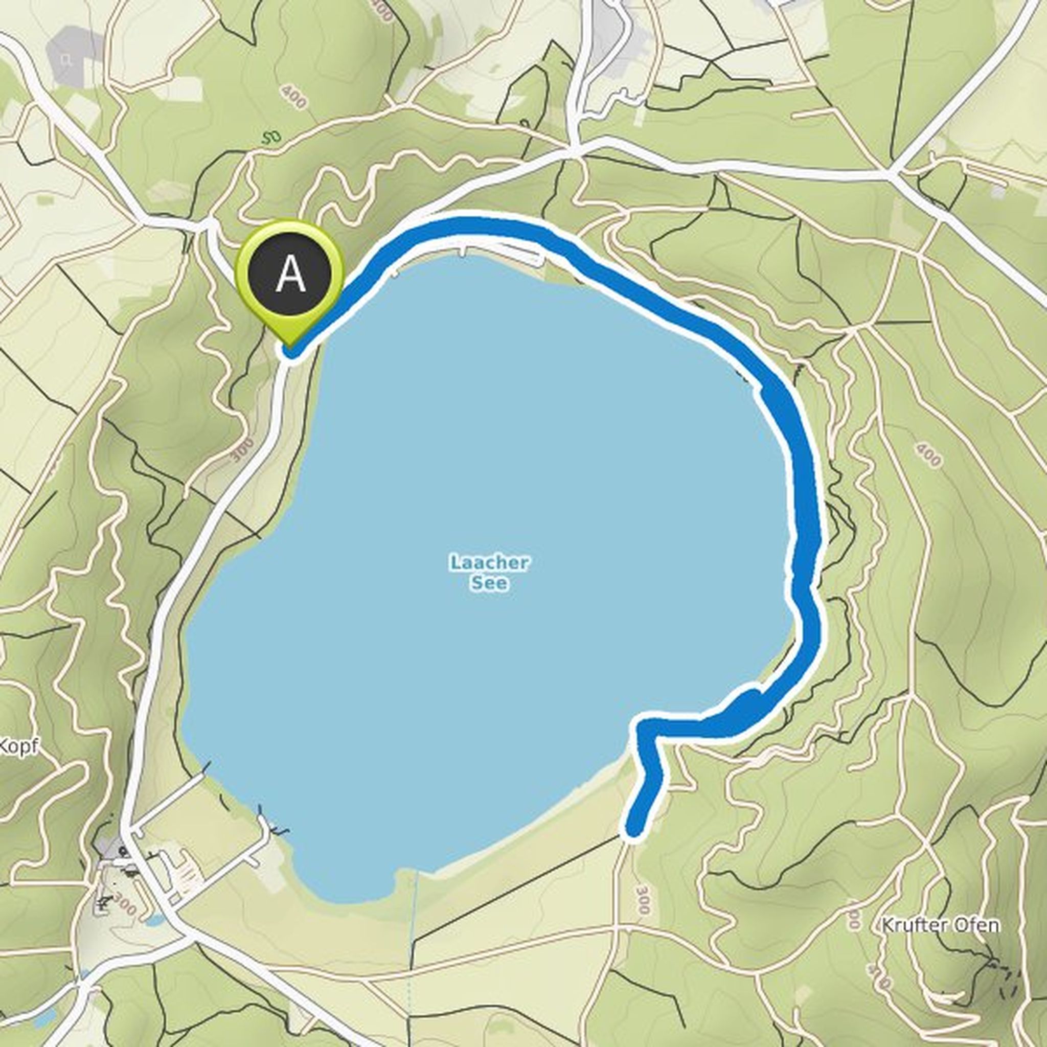
Ingo Konrads planned a hike
April 4, 2022
Time
2h39m
Distance
9.70km
Speed
3.7km/h
Ascent
140m
Descent
140m
Map data © OpenStreetMap contributors
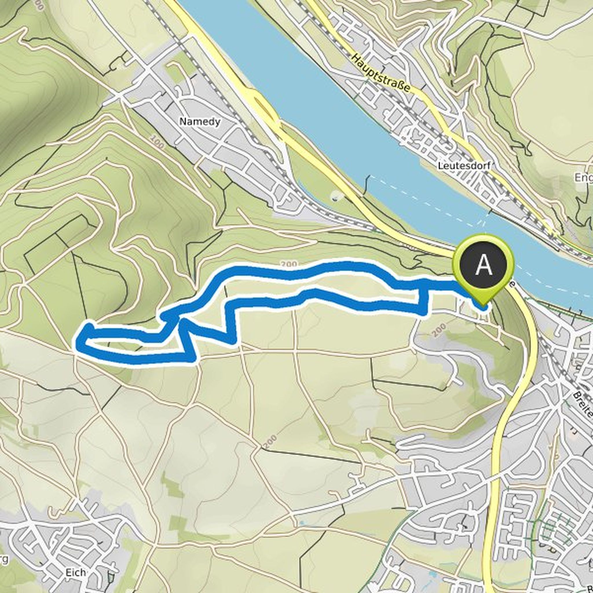
Ingo Konrads planned a hike
February 27, 2022
Time
1h50m
Distance
6.43km
Speed
3.5km/h
Ascent
150m
Descent
150m
Map data © OpenStreetMap contributors
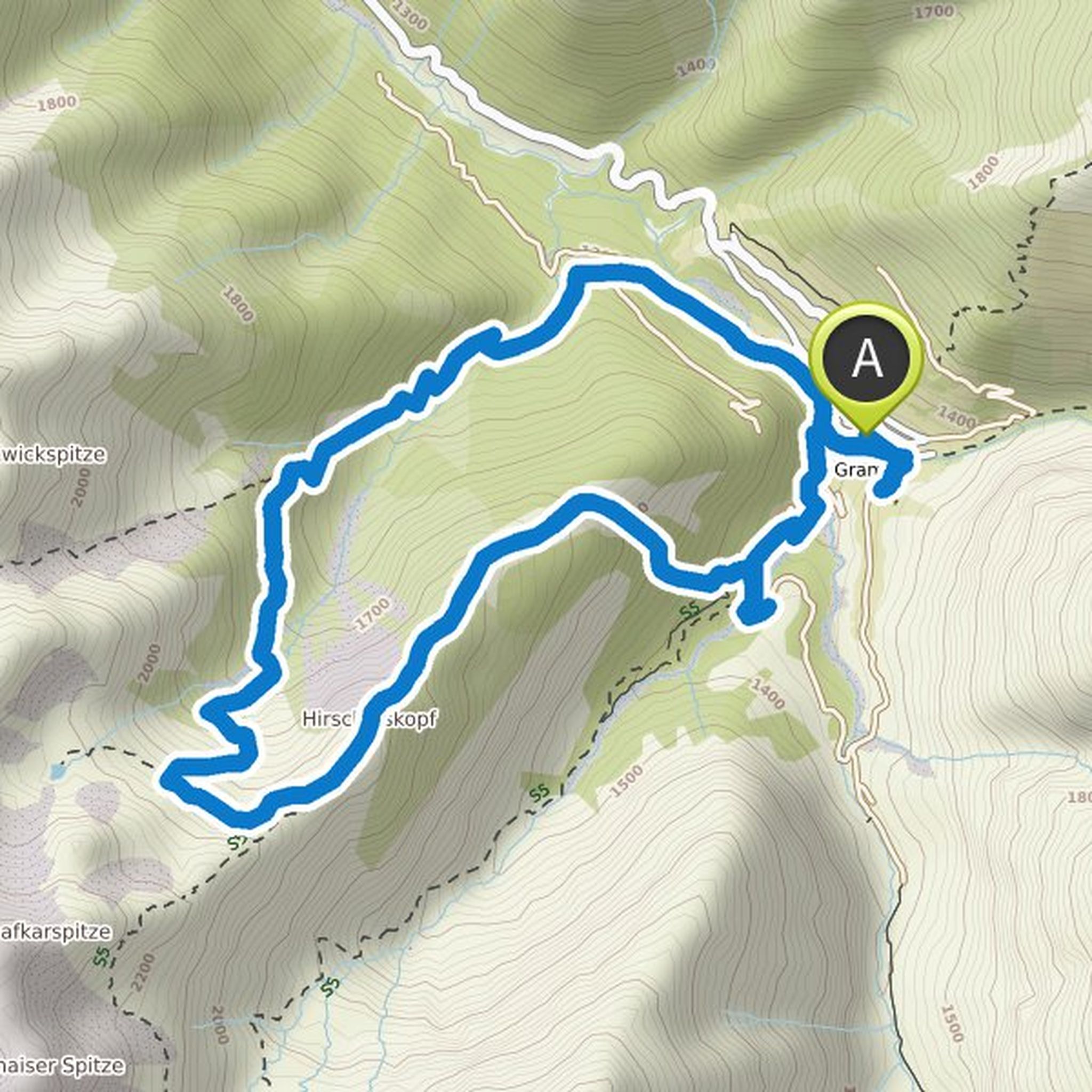
Ingo Konrads planned a hike
February 21, 2022
Time
2h15m
Distance
8.36km
Speed
3.7km/h
Ascent
100m
Descent
100m
Map data © OpenStreetMap contributors
Ingo Konrads planned a hike
January 1, 2022
Time
1h49m
Distance
6.52km
Speed
3.6km/h
Ascent
120m
Descent
120m
Map data © OpenStreetMap contributors
Ingo Konrads planned a hike
September 16, 2021
Time
4h59m
Distance
10.4km
Speed
2.1km/h
Ascent
830m
Descent
840m
Map data © OpenStreetMap contributors