Timeline
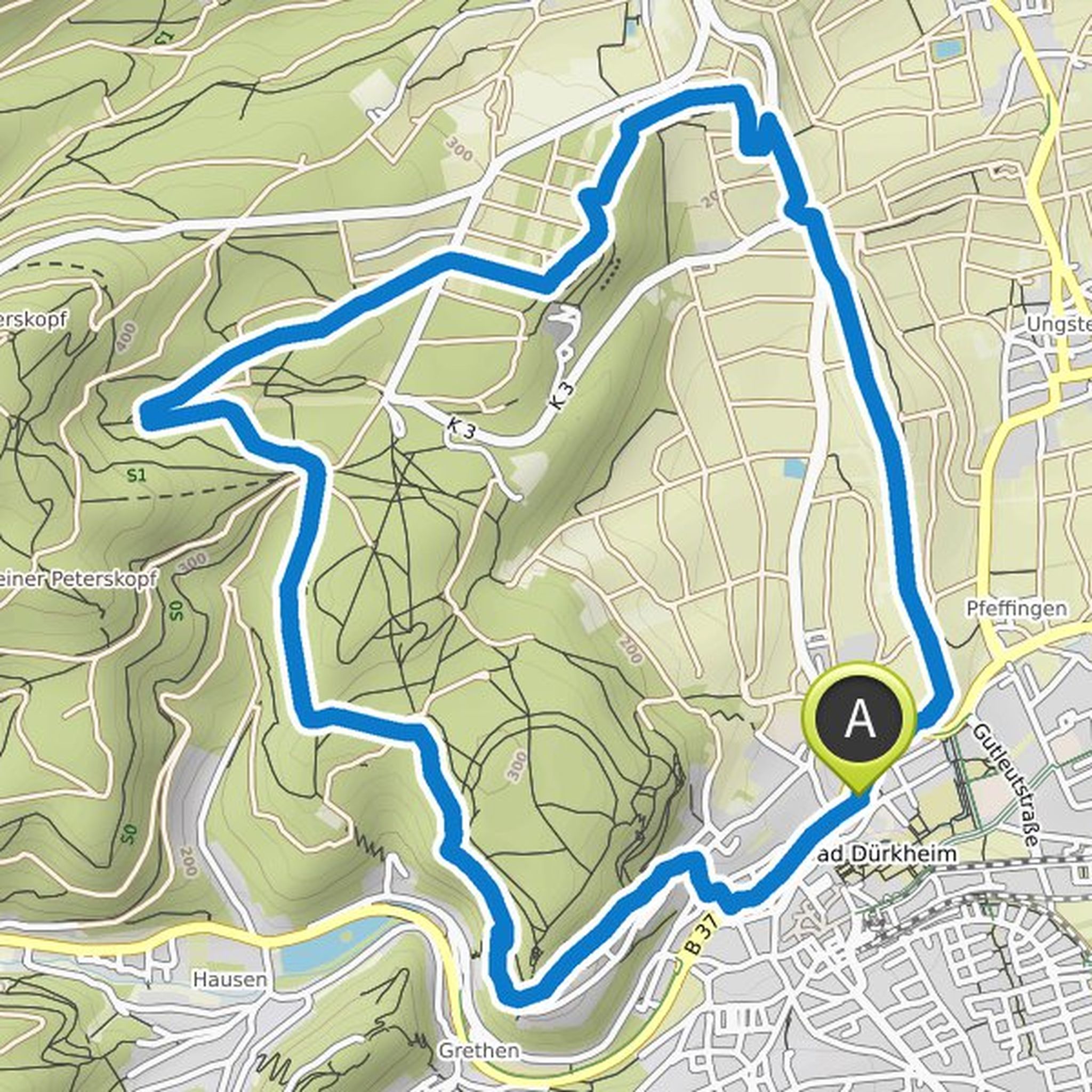
xxxxx and Schwalb Anneliese planned a hike
May 25, 2026
Time
Distance
Speed
Ascent
Descent
xxxxx and others planned a hike
March 6, 2024
Time
Distance
Speed
Ascent
Descent
xxxxx and Schwalb Anneliese planned a hike
February 4, 2024
Time
Distance
Speed
Ascent
Descent
fritz and others planned a bike ride
July 10, 2020
Time
Distance
Speed
Ascent
Descent

fritz and Schwalb Anneliese planned a hike
October 1, 2019
Time
Distance
Speed
Ascent
Descent

fritz and others planned a hike
July 26, 2019
Time
Distance
Speed
Ascent
Descent
fritz and others planned a hike
July 15, 2019
Time
Distance
Speed
Ascent
Descent

truemarmalade likes this.
fritz and others planned a hike
April 17, 2019
Time
Distance
Speed
Ascent
Descent

fritz and others planned a hike
March 25, 2019
Time
Distance
Speed
Ascent
Descent

Schwalb Anneliese likes this.
fritz and others planned a hike
July 17, 2018
Time
Distance
Speed
Ascent
Descent

fritz and others planned a hike
March 26, 2018
Time
Distance
Speed
Ascent
Descent

fritz and others planned a hike
August 26, 2017
Time
Distance
Speed
Ascent
Descent

fritz and others planned a hike
August 6, 2017
Time
Distance
Speed
Ascent
Descent

fritz and others planned a hike
February 11, 2017
Time
Distance
Speed
Ascent
Descent

fritz and others planned a hike
December 7, 2016
Time
Distance
Speed
Ascent
Descent
