Timeline
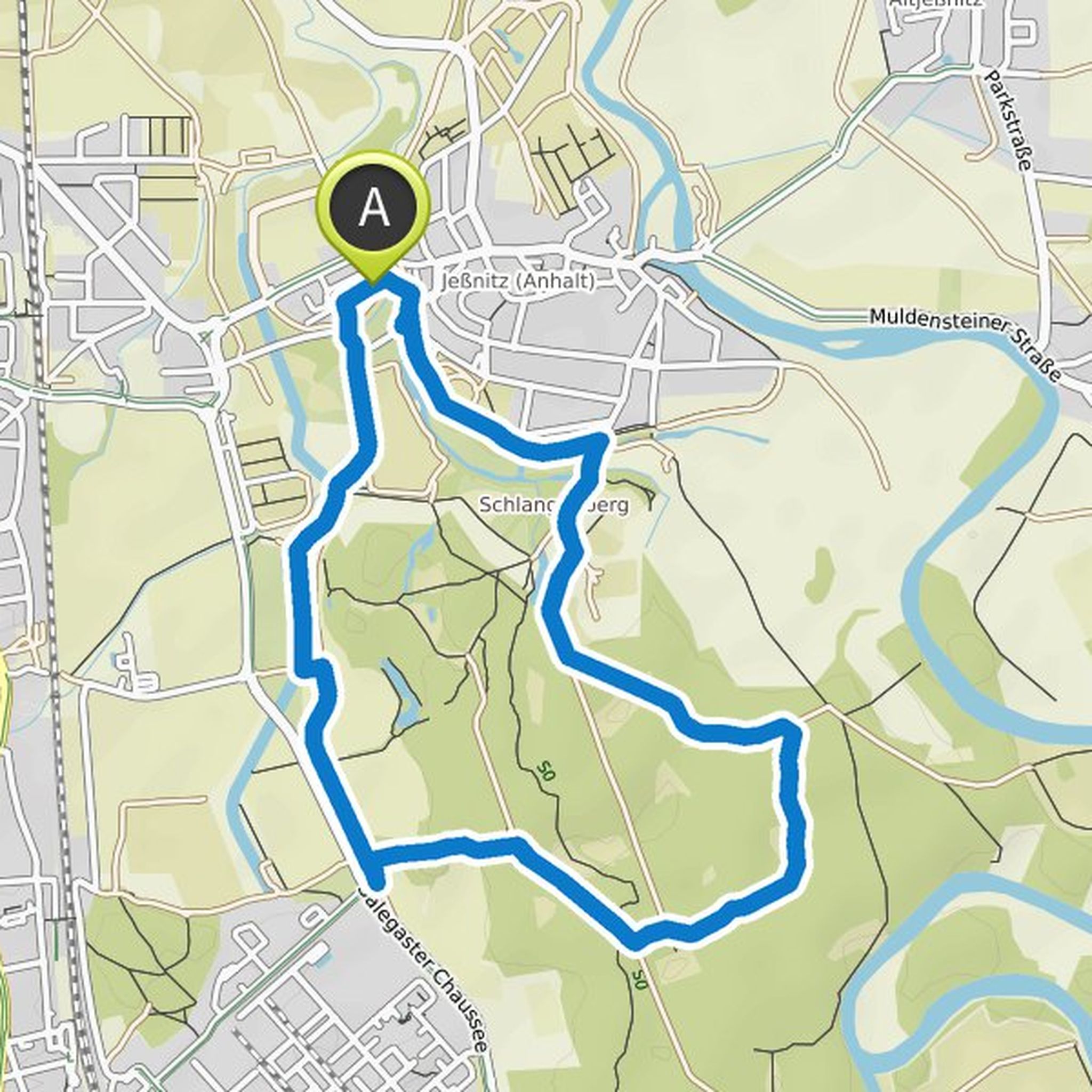
Tobias Wust planned a hike
February 1, 2025
Time
Distance
Speed
Ascent
Descent
Tobias Wust planned a hike
March 18, 2023
Time
Distance
Speed
Ascent
Descent
Tobias Wust planned a hike
July 16, 2022
Time
Distance
Speed
Ascent
Descent
Tobias Wust planned a hike
July 16, 2022
Time
Distance
Speed
Ascent
Descent
Tobias Wust planned a hike
July 16, 2022
Time
Distance
Speed
Ascent
Descent
Tobias Wust planned a hike
June 30, 2022
Time
Distance
Speed
Ascent
Descent
Tobias Wust planned a hike
June 26, 2022
Time
Distance
Speed
Ascent
Descent
Tobias Wust planned a hike
April 24, 2022
Time
Distance
Speed
Ascent
Descent
Tobias Wust planned a hike
April 24, 2022
Time
Distance
Speed
Ascent
Descent
Tobias Wust planned a hike
April 17, 2022
Time
Distance
Speed
Ascent
Descent
Tobias Wust planned a hike
December 27, 2021
Time
Distance
Speed
Ascent
Descent
Tobias Wust planned a hike
December 5, 2021
Time
Distance
Speed
Ascent
Descent
Tobias Wust planned a hike
November 28, 2021
Time
Distance
Speed
Ascent
Descent
Tobias Wust planned a hike
November 28, 2021
Time
Distance
Speed
Ascent
Descent
Tobias Wust planned a hike
November 28, 2021
Time
Distance
Speed
Ascent
Descent