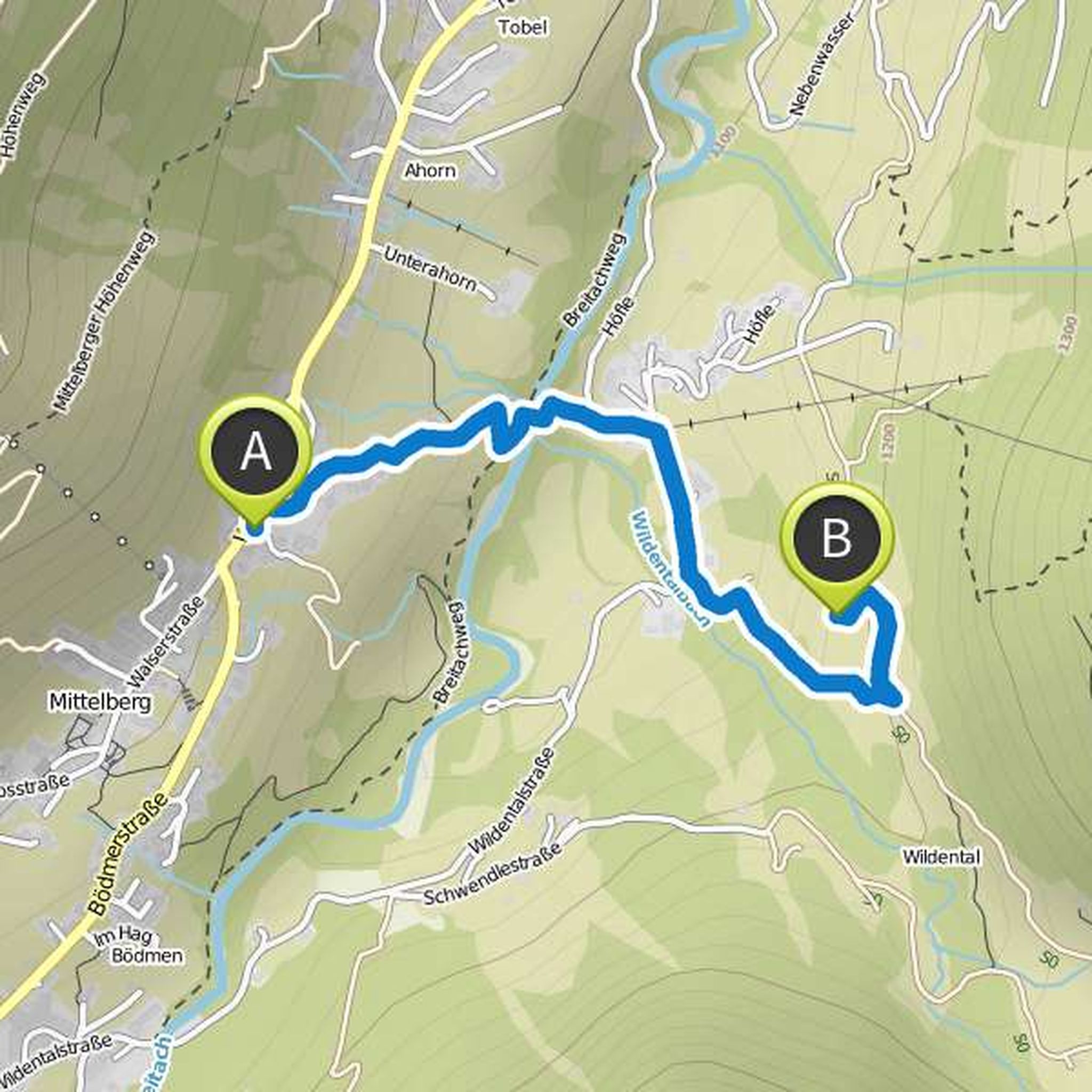
Timeline
Casuras planned a hike
October 3, 2023
Time
0h24m
Distance
1.36km
Speed
3.4km/h
Descent
110m
Map data © OpenStreetMap contributors
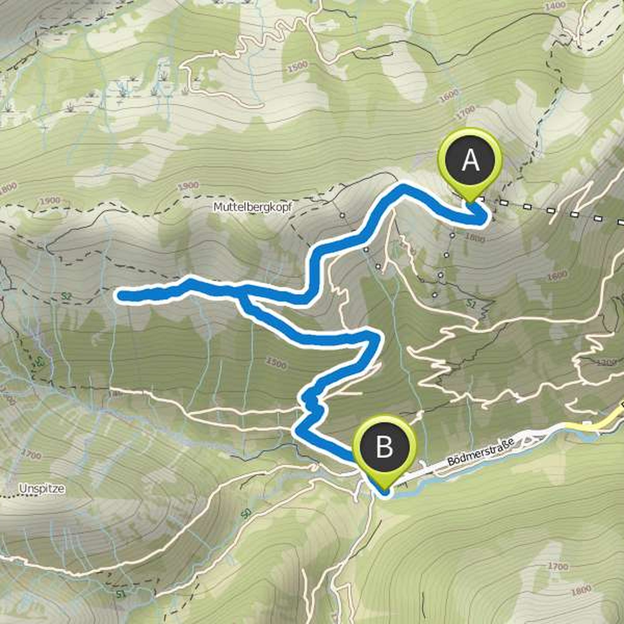
Casuras planned a hike
August 4, 2020
Time
2h41m
Distance
9.69km
Speed
3.6km/h
Ascent
170m
Descent
190m

Map data © OpenStreetMap contributors
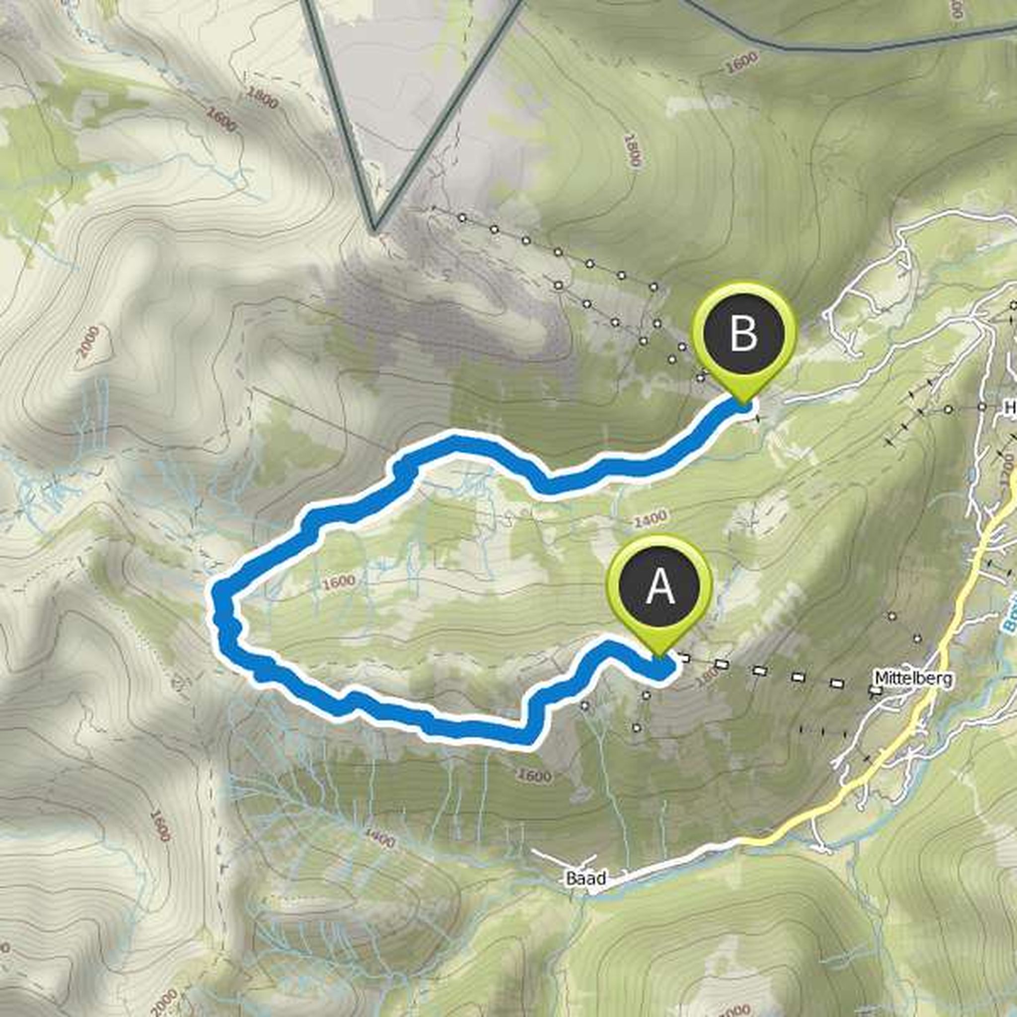
Casuras planned a hike
August 9, 2017
Time
0h41m
Distance
2.03km
Speed
3.0km/h
Ascent
100m
Descent
80m
Map data © OpenStreetMap contributors
Casuras planned a hike
August 6, 2017
Time
1h43m
Distance
4.94km
Speed
2.9km/h
Ascent
280m
Descent
270m

Map data © OpenStreetMap contributors
Casuras planned a hike
August 6, 2017
Time
2h11m
Distance
6.70km
Speed
3.1km/h
Ascent
40m
Descent
690m
Map data © OpenStreetMap contributors
Casuras planned a hike
August 6, 2017
Time
6h42m
Distance
17.4km
Speed
2.6km/h
Ascent
610m
Descent
1,230m
Map data © OpenStreetMap contributors
Casuras planned a hike
August 6, 2017
Time
2h21m
Distance
7.36km
Speed
3.1km/h
Ascent
20m
Descent
690m

Map data © OpenStreetMap contributors
Casuras planned a hike
August 6, 2017
Time
4h09m
Distance
11.7km
Speed
2.8km/h
Ascent
190m
Descent
990m

Map data © OpenStreetMap contributors
August 6, 2017
An average demanding tour in a wonderful mountain panorama. There is a bus stop directly at the destination.
Translated by Google •
Casuras planned a hike
August 15, 2016
Time
0h11m
Distance
649m
Speed
3.7km/h
Ascent
0m
Descent
30m

Map data © OpenStreetMap contributors
August 6, 2017
Scenic worthwhile. At the end of the tour is a stop of the Walserbuss.
Translated by Google •