Timeline
OAESTIVUS planned a hike
October 17, 2022
Time
1h58m
Distance
7.11km
Speed
3.6km/h
Ascent
120m
Descent
120m
Map data © OpenStreetMap contributors
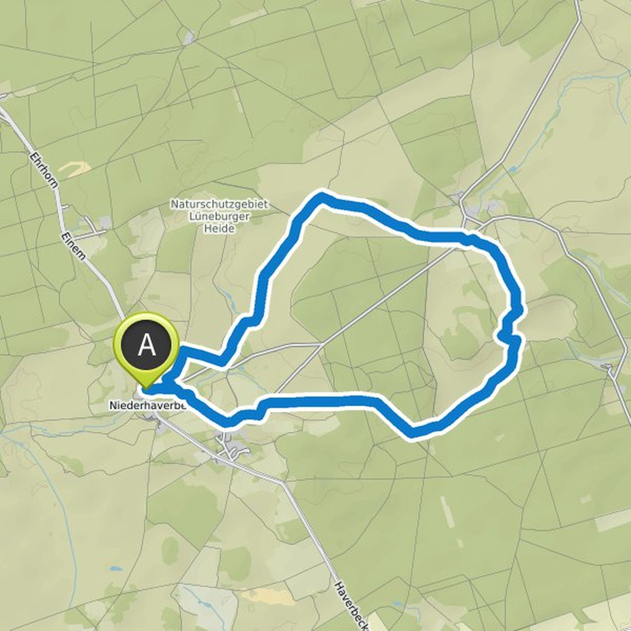
OAESTIVUS planned a hike
October 17, 2022
Time
1h58m
Distance
7.11km
Speed
3.6km/h
Ascent
120m
Descent
120m
Map data © OpenStreetMap contributors
OAESTIVUS planned a hike
October 16, 2022
Time
1h20m
Distance
3.93km
Speed
3.0km/h
Ascent
140m
Descent
140m
Map data © OpenStreetMap contributors
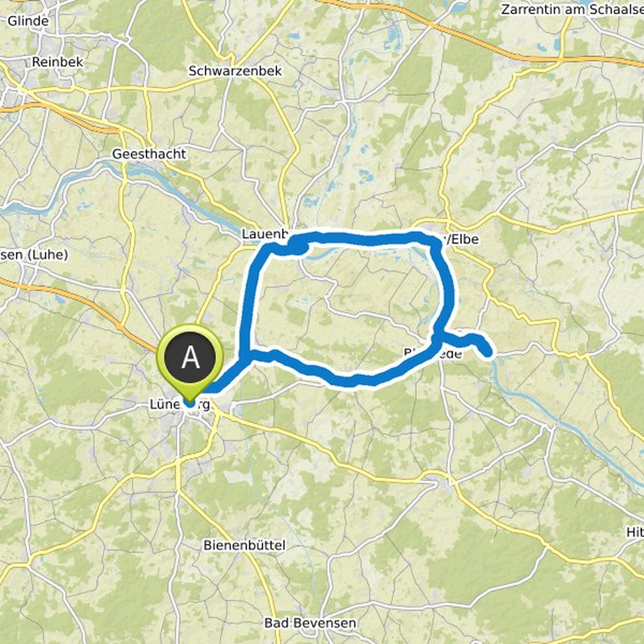
OAESTIVUS planned a hike
October 16, 2022
Time
2h28m
Distance
7.73km
Speed
3.1km/h
Ascent
210m
Descent
210m
Map data © OpenStreetMap contributors
OAESTIVUS planned a hike
October 16, 2022
Time
2h28m
Distance
7.73km
Speed
3.1km/h
Ascent
210m
Descent
210m
Map data © OpenStreetMap contributors
OAESTIVUS planned a hike
October 16, 2022
Time
2h14m
Distance
7.88km
Speed
3.5km/h
Ascent
170m
Descent
160m
Map data © OpenStreetMap contributors
OAESTIVUS planned a bike ride
April 24, 2022
Time
1h51m
Distance
26.7km
Speed
14.5km/h
Ascent
50m
Descent
50m
Map data © OpenStreetMap contributors
OAESTIVUS planned a hike
August 28, 2021
Time
4h20m
Distance
16.5km
Speed
3.8km/h
Ascent
140m
Descent
130m

Map data © OpenStreetMap contributors
OAESTIVUS planned a hike
August 28, 2021
Time
3h09m
Distance
11.9km
Speed
3.8km/h
Ascent
110m
Descent
110m
Map data © OpenStreetMap contributors
OAESTIVUS planned a bike ride
August 10, 2020
Time
4h54m
Distance
81.2km
Speed
16.5km/h
Ascent
360m
Descent
360m
Map data © OpenStreetMap contributors