Timeline
Eline planned a hike
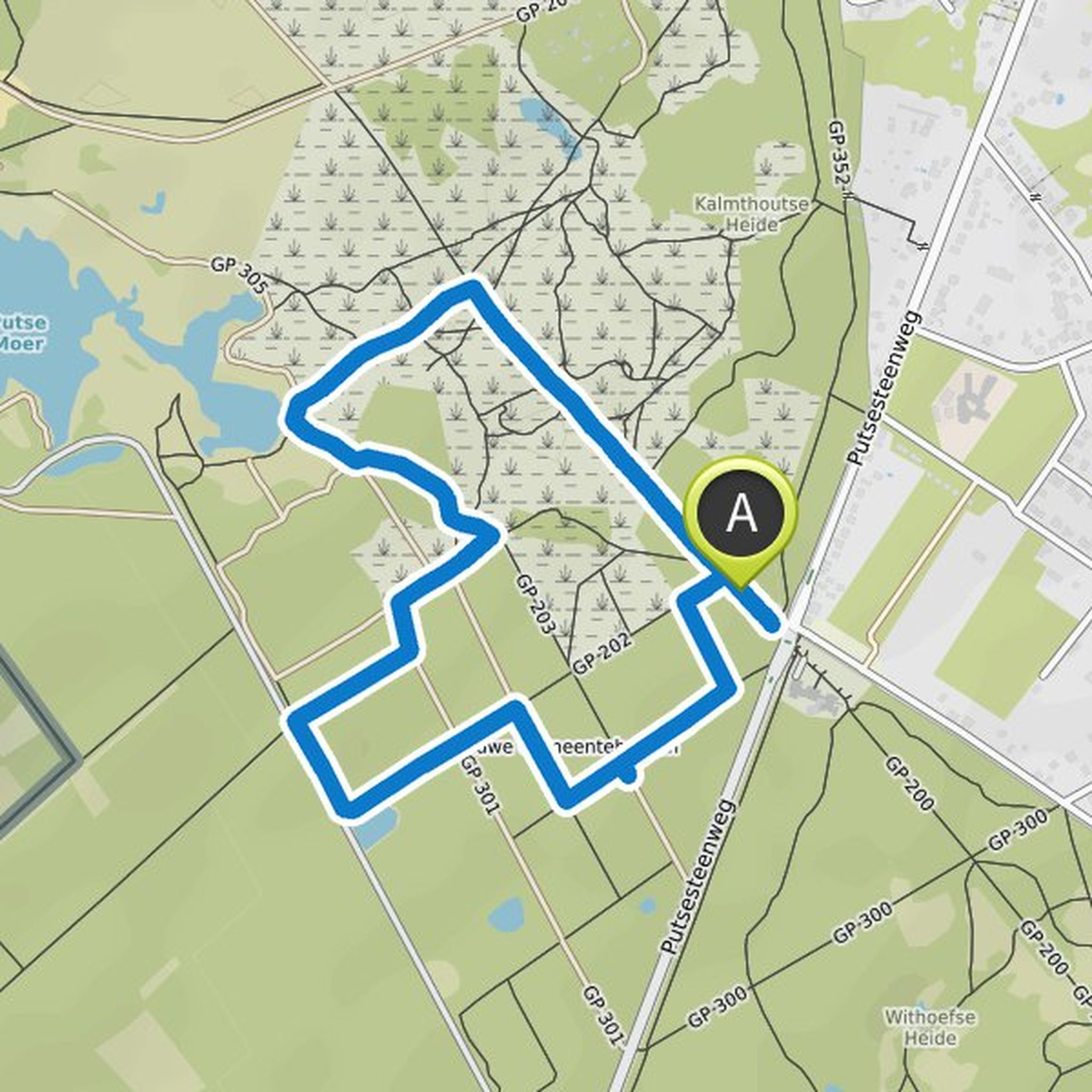
August 11, 2023
Time
Distance
Speed
Ascent
Descent
Eline planned a hike
August 12, 2022
Time
Distance
Speed
Ascent
Descent
Eline planned a hike
August 11, 2022
Time
Distance
Speed
Ascent
Descent
August 11, 2022
Until 1944 there was a beautiful castle in Gooreind, on the domain that lies between the current Valkendreef, Eikendreef and Rode Dreef. These shady avenues were built by the Koch banking family. The Rode Dreef was even specially constructed to allow direct access to the Church from the castle. An airplane
Translated by Google •
Eline planned a hike
April 30, 2022
Time
Distance
Speed
Ascent
Descent
Eline planned a hike
January 2, 2022
Time
Distance
Speed
Ascent
Descent


Eline planned a hike
November 26, 2021
Time
Distance
Speed
Ascent
Descent


Eline planned a hike
October 21, 2021
Time
Distance
Speed
Ascent
Descent

Eline planned a hike
October 16, 2021
Time
Distance
Speed
Ascent
Descent

August 11, 2022
A large part of the walk goes through the beautiful nature reserve Marum. Characteristics: forest, heath, barren grasslands and streams. This area will only be accessible to walkers again from 2010. It was closed to the public for more than a century because it was used as a training ground for the military
Translated by Google •