Timeline
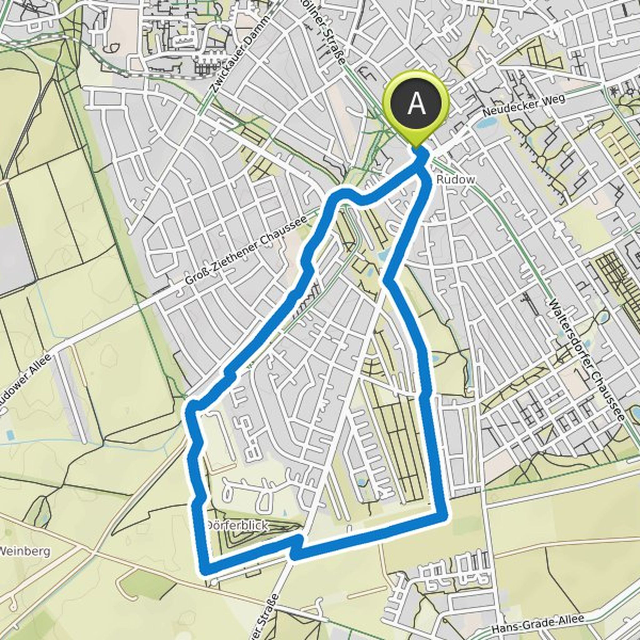
Friedemann planned a hike
August 30, 2022
Time
Distance
Speed
Ascent
Descent
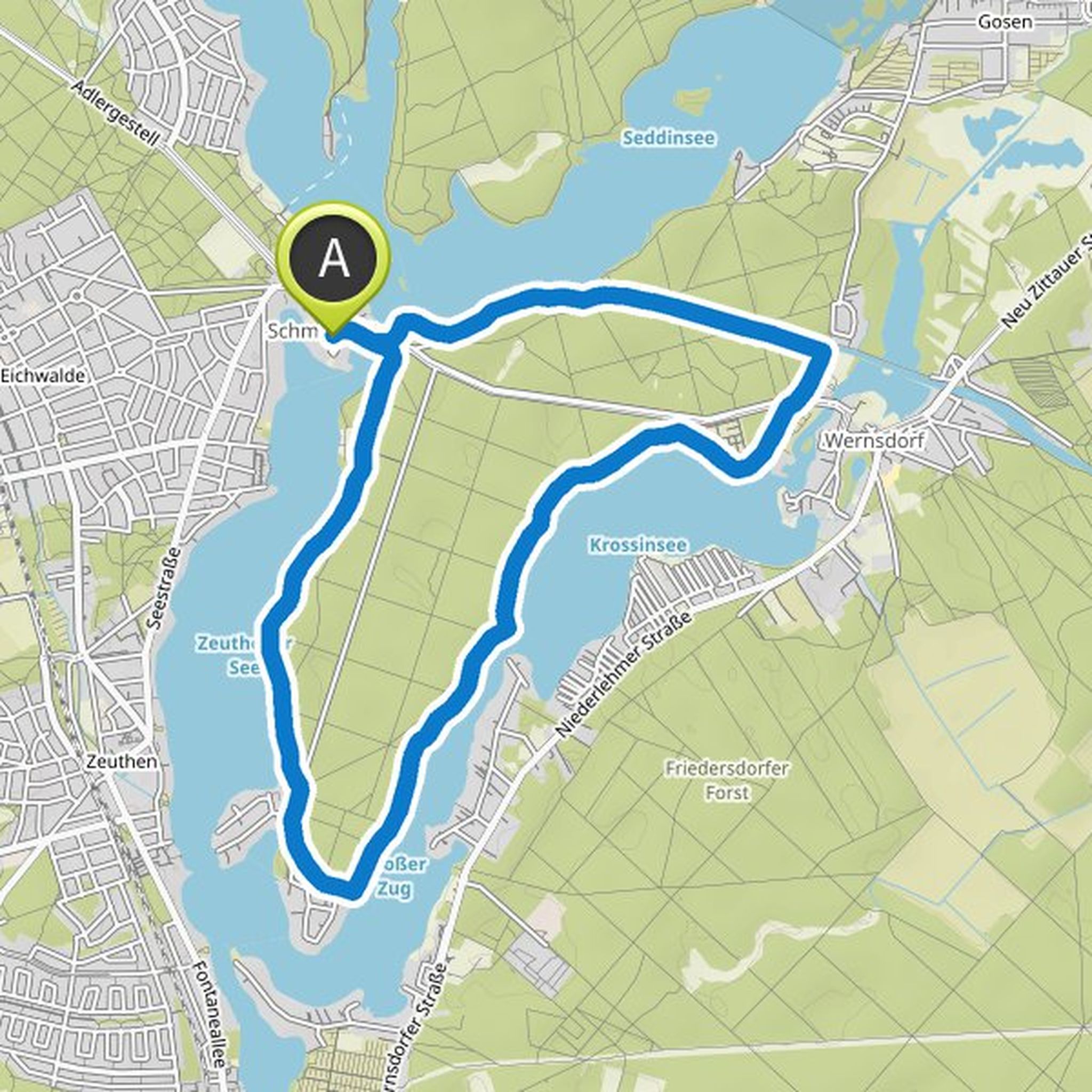
Friedemann planned a hike
August 30, 2022
Time
Distance
Speed
Ascent
Descent
Friedemann planned a hike
August 30, 2022
Time
Distance
Speed
Ascent
Descent
Friedemann planned a hike
August 30, 2022
Time
Distance
Speed
Ascent
Descent
Friedemann planned a hike
August 30, 2022
Time
Distance
Speed
Ascent
Descent
Friedemann planned a hike
August 23, 2022
Time
Distance
Speed
Ascent
Descent
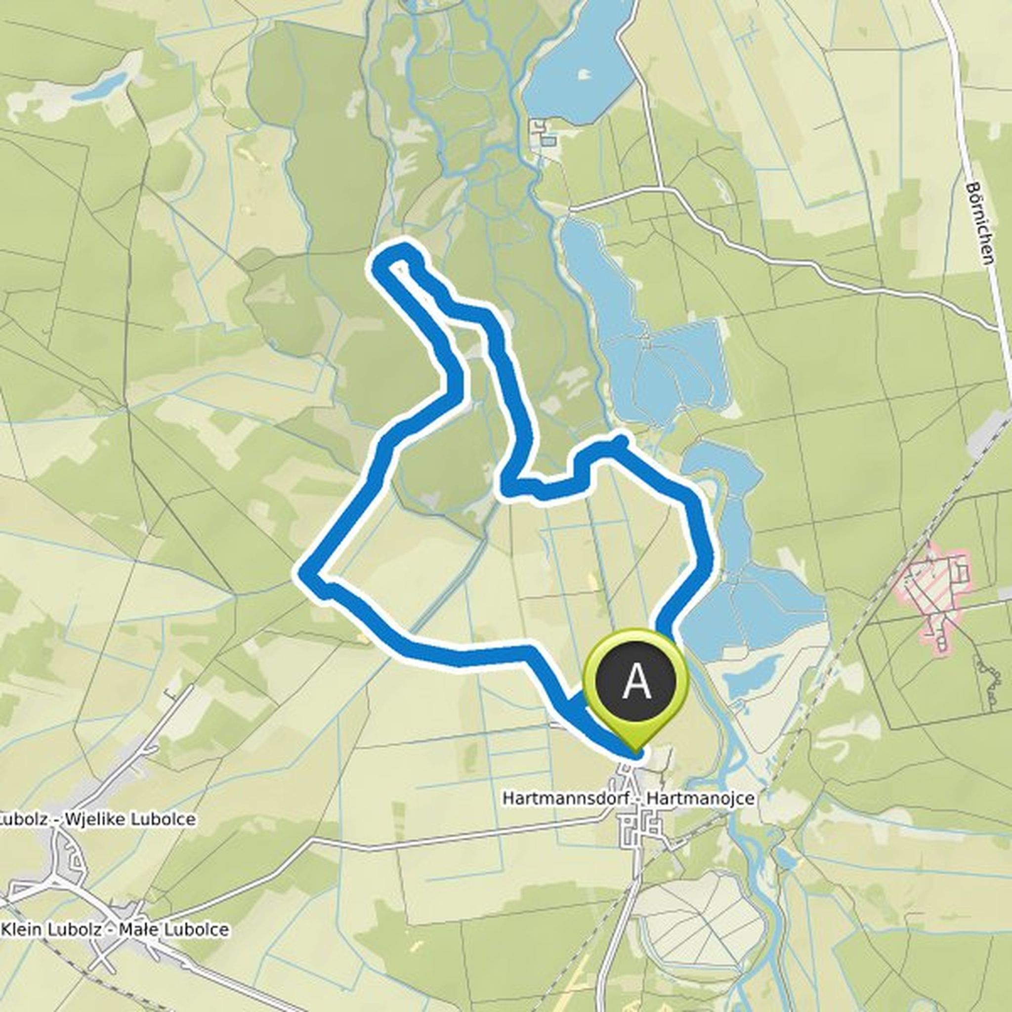
Friedemann planned a hike
August 19, 2022
Time
Distance
Speed
Ascent
Descent
Friedemann planned a hike
April 24, 2022
Time
Distance
Speed
Ascent
Descent
Friedemann planned a hike
April 24, 2022
Time
Distance
Speed
Ascent
Descent
Friedemann planned a mountain bike ride
April 10, 2022
Time
Distance
Speed
Ascent
Descent
Friedemann planned a mountain bike ride
April 10, 2022
Time
Distance
Speed
Ascent
Descent
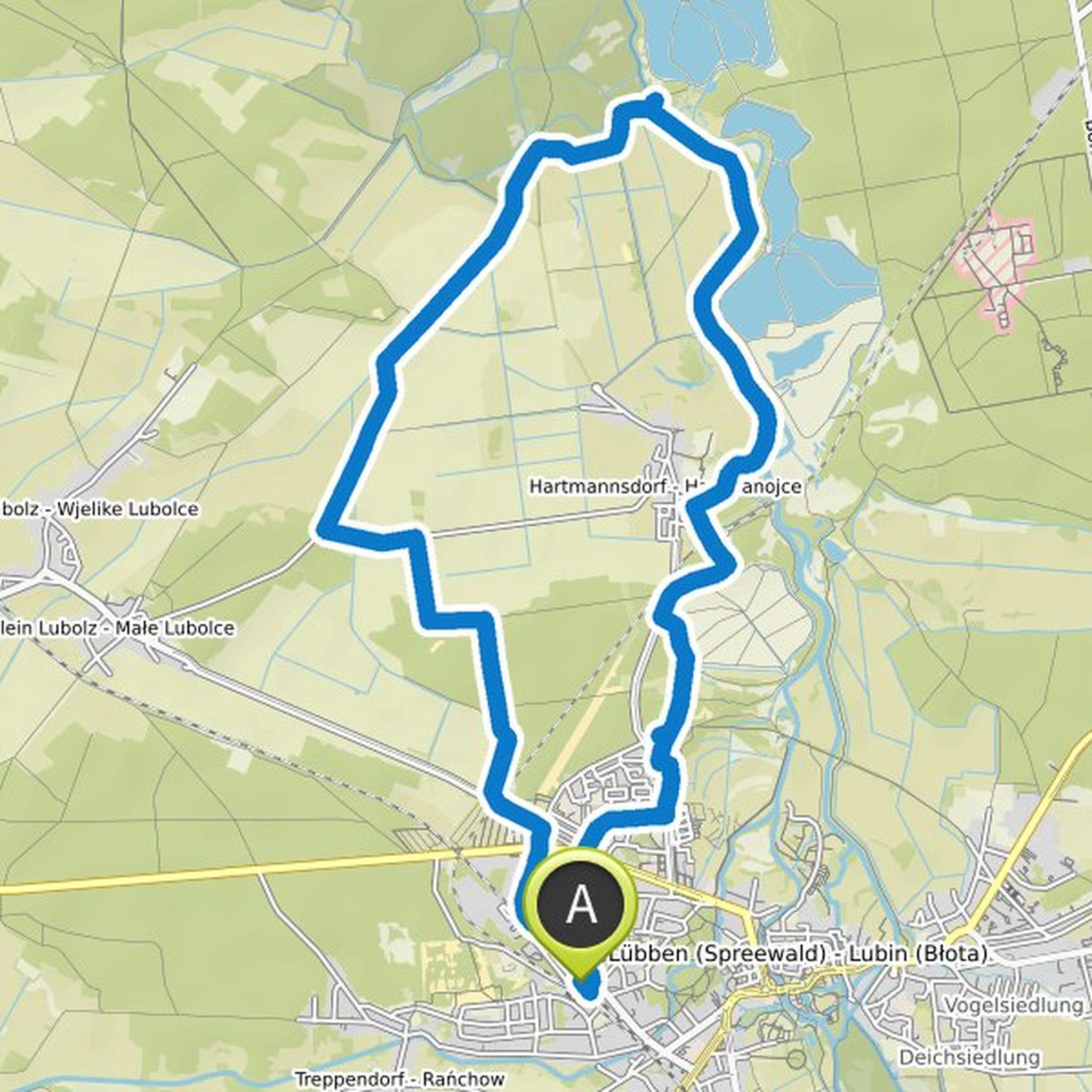
Friedemann planned a hike
March 8, 2022
Time
Distance
Speed
Ascent
Descent
Friedemann planned a hike
December 26, 2021
Time
Distance
Speed
Ascent
Descent
Friedemann planned a hike
December 26, 2021
Time
Distance
Speed
Ascent
Descent
Friedemann planned a hike
December 19, 2021
Time
Distance
Speed
Ascent
Descent