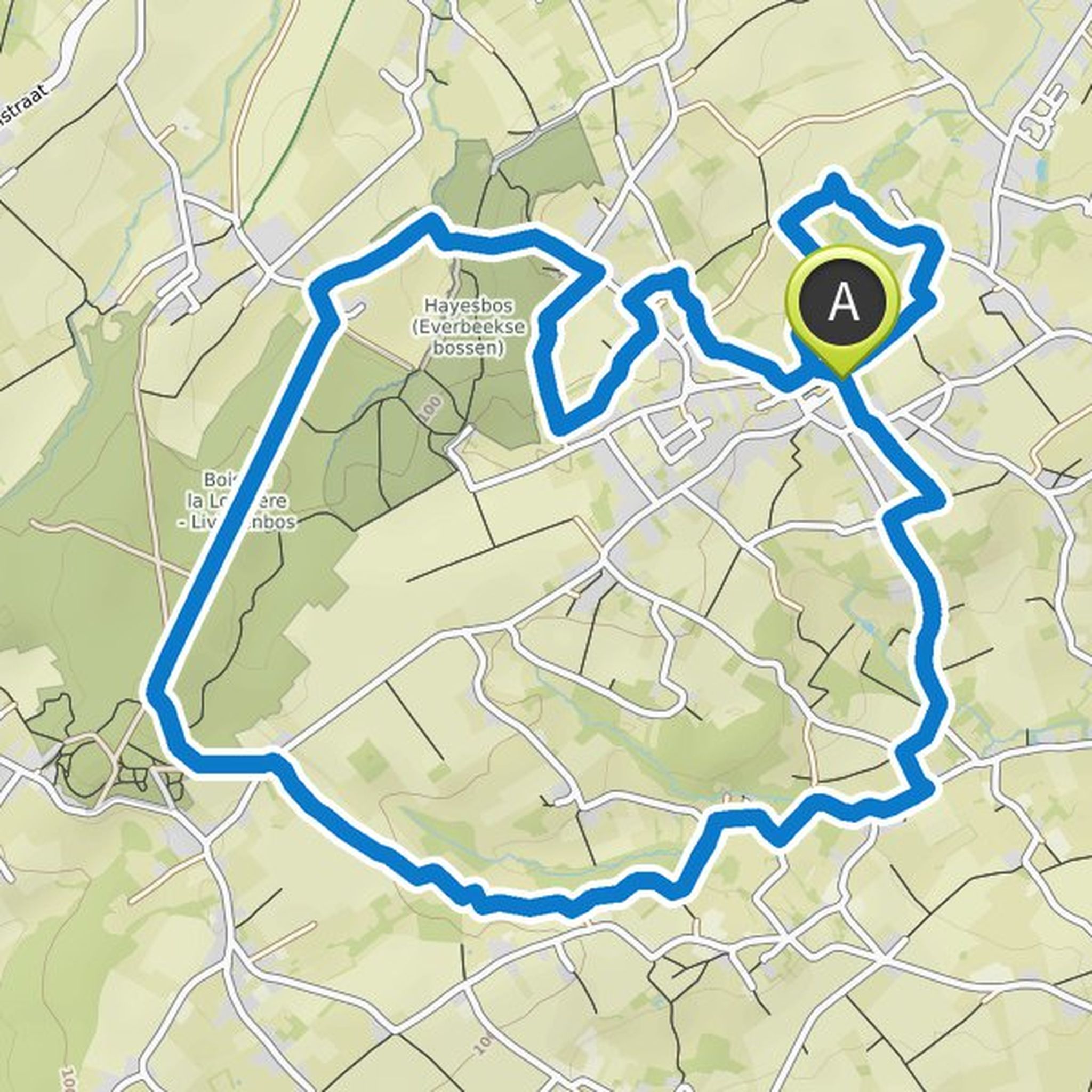
Timeline
Jannes planned a run
August 15, 2025
Time
2h56m
Distance
24.0km
Pace
7:20/km
Ascent
490m
Descent
480m
Map data © OpenStreetMap contributors


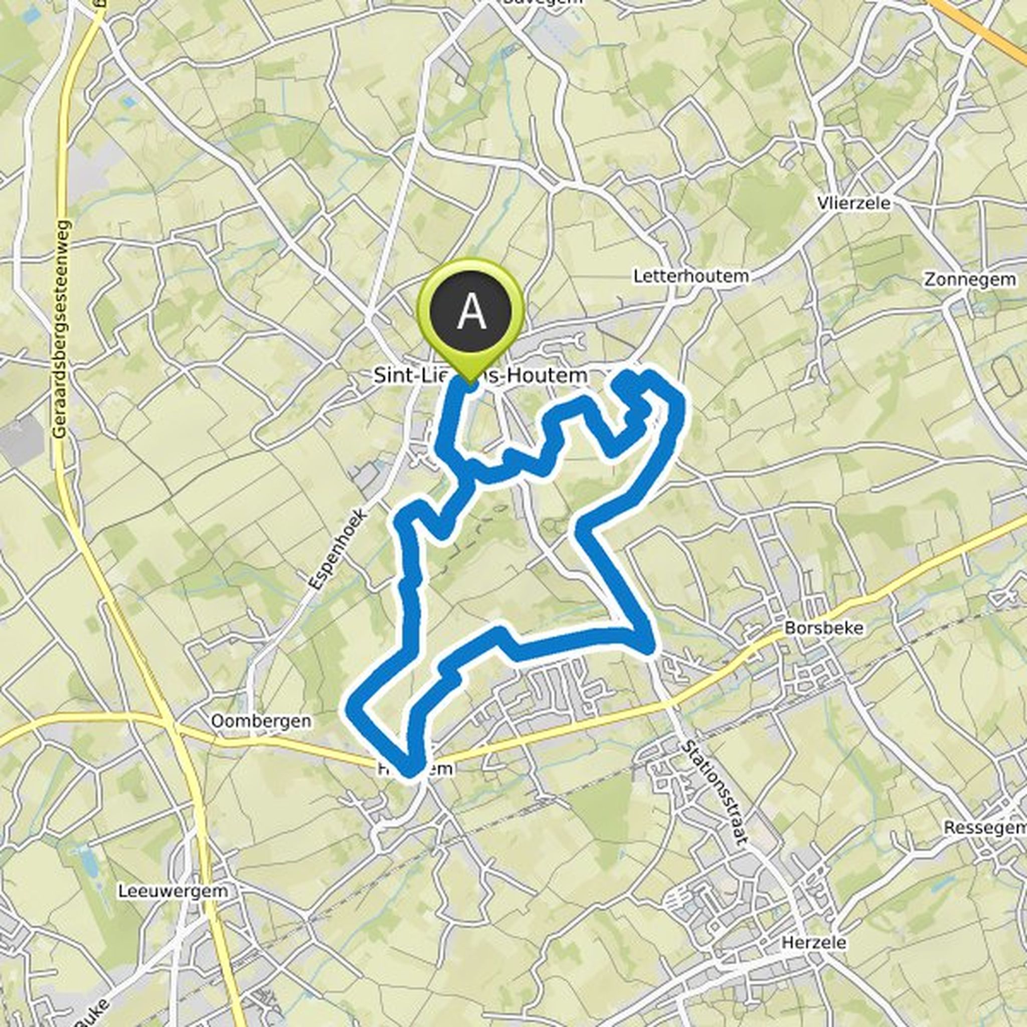
Jannes planned a hike
January 7, 2022
Time
3h38m
Distance
14.4km
Speed
4.0km/h
Ascent
30m
Descent
30m

Map data © OpenStreetMap contributors
Jannes likes this.
January 7, 2022
Waypoints: 131 - 132 - turn left at the junction and dive right via a descending path into the Domeinbos Driegoten - follow the road straight on for about 700m and then follow to the right until you come back to the towpath at 134 - 135 - 178 - 138 - 136 - 132 - 131 - 139 - 140 - 141 - 146 - follow direction
Translated by Google •


January 7, 2022
Follow the red triangle or the orange sphere.
Translated by Google •