Timeline
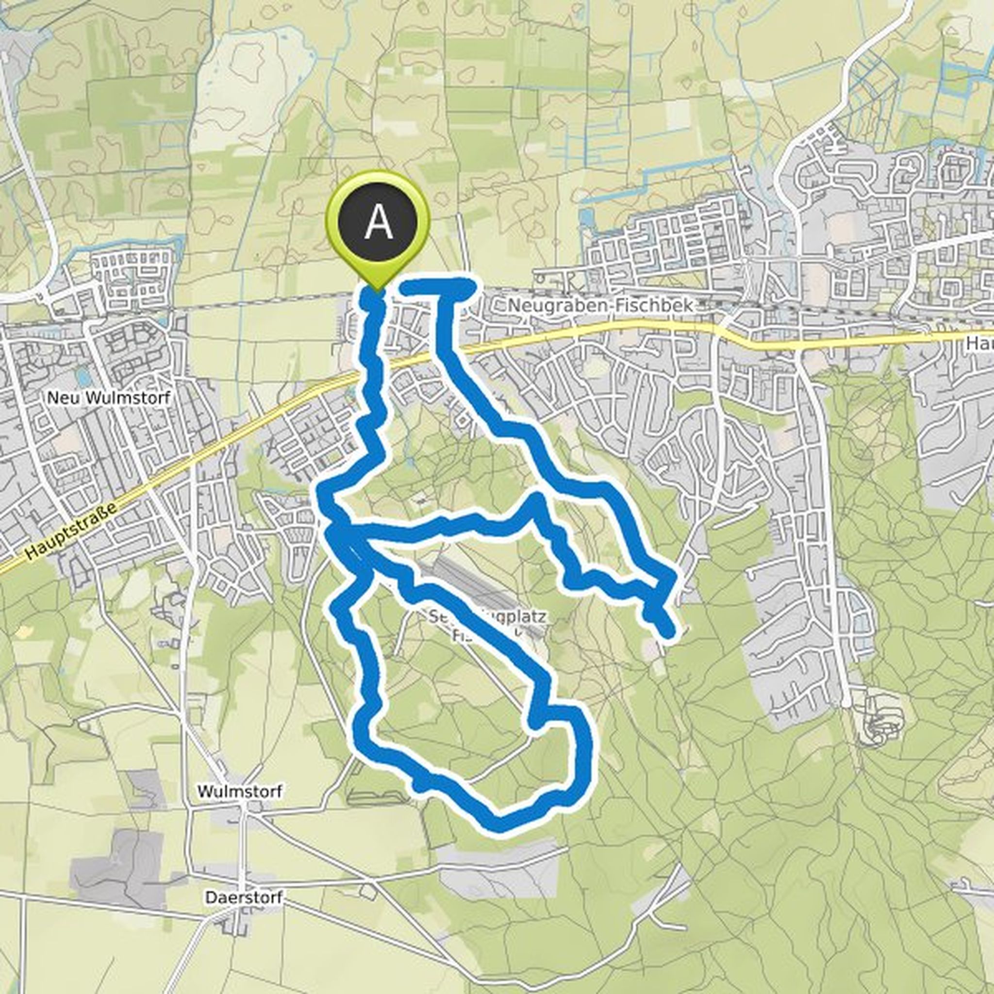
Eee planned a hike
May 25, 2023
Time
3h00m
Distance
9.13km
Speed
3.0km/h
Ascent
160m
Descent
160m
Map data © OpenStreetMap contributors
Eee planned a hike
May 20, 2023
Time
2h45m
Distance
8.26km
Speed
3.0km/h
Ascent
190m
Descent
120m
Map data © OpenStreetMap contributors
Eee planned a hike
January 21, 2023
Time
3h48m
Distance
14.4km
Speed
3.8km/h
Ascent
140m
Descent
120m
Map data © OpenStreetMap contributors
Eee planned a hike
September 11, 2022
Time
3h34m
Distance
16.6km
Speed
4.6km/h
Ascent
210m
Descent
210m
Map data © OpenStreetMap contributors
Eee planned a hike
May 1, 2022
Time
2h46m
Distance
12.8km
Speed
4.6km/h
Ascent
170m
Descent
150m
Map data © OpenStreetMap contributors
Eee planned a hike
January 19, 2022
Time
5h00m
Distance
19.7km
Speed
3.9km/h
Ascent
50m
Descent
50m

Map data © OpenStreetMap contributors
Eee planned a hike
October 1, 2021
Time
3h48m
Distance
17.9km
Speed
4.7km/h
Ascent
180m
Descent
180m

Map data © OpenStreetMap contributors
Eee planned a hike
August 26, 2021
Time
4h34m
Distance
17.2km
Speed
3.8km/h
Ascent
170m
Descent
170m
Map data © OpenStreetMap contributors
Eee planned a hike
August 26, 2021
Time
4h28m
Distance
21.8km
Speed
4.9km/h
Ascent
80m
Descent
80m

Map data © OpenStreetMap contributors
May 1, 2022
As a shorter alternative, you can, for example, go directly from point 8 to point 16 or 19. You miss water and deer in the deer park and if after 19 you also save a lot of stairs up & down.
Translated by Google •