Timeline
Michael Tilgner planned a bike ride
April 13, 2024
Time
Distance
Speed
Ascent
Descent
Michael Tilgner planned a bike ride
July 20, 2022
Time
Distance
Speed
Ascent
Descent
Michael Tilgner planned a bike ride
July 15, 2022
Time
Distance
Speed
Ascent
Descent
Michael Tilgner planned a bike ride
July 15, 2022
Time
Distance
Speed
Ascent
Descent
Michael Tilgner planned a bike ride
May 3, 2021
Time
Distance
Speed
Ascent
Descent

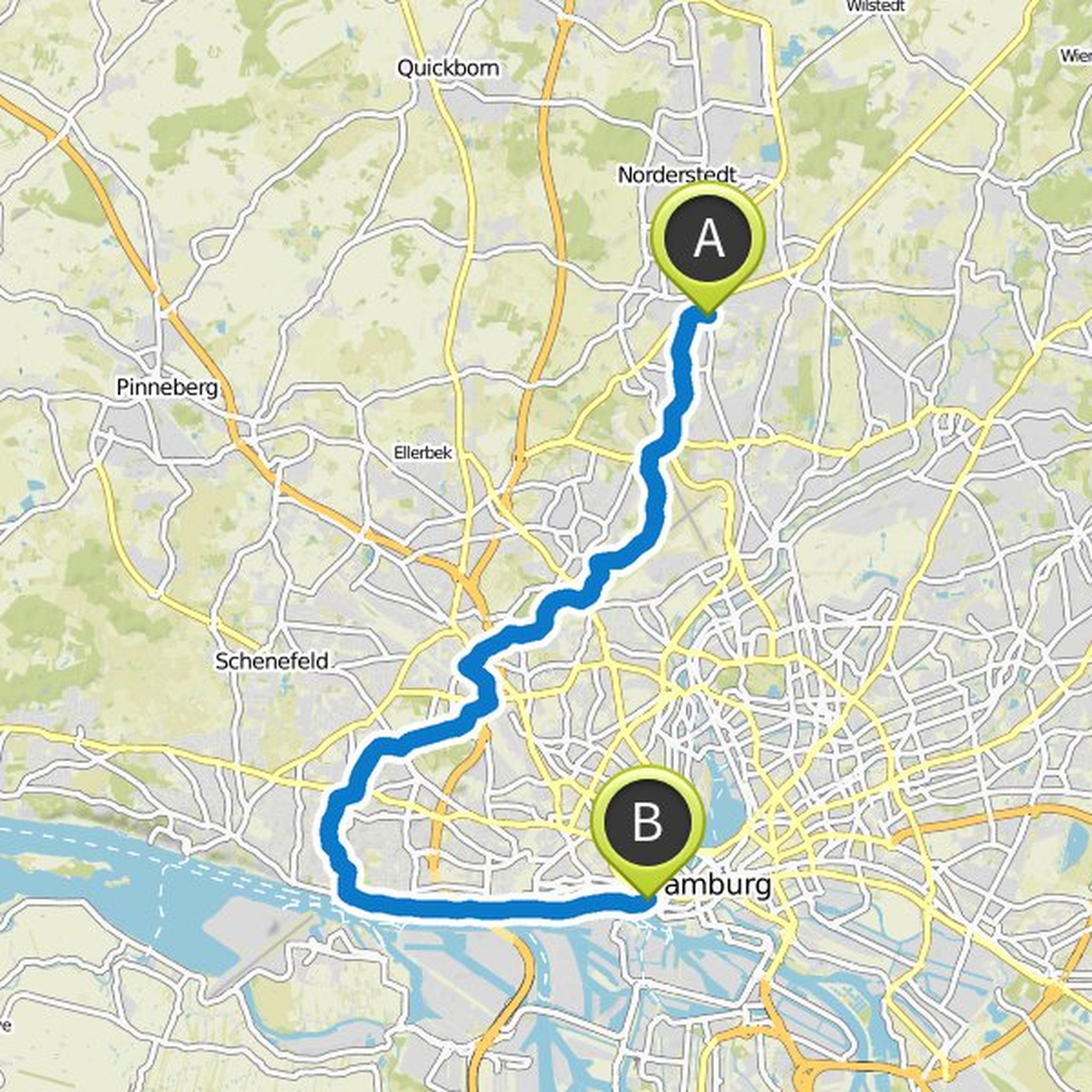
May 3, 2021
This is a changed route, especially in the Norderstedt area. The Schleswig-Holstein-Straße and the Willstedterweg are not particularly attractive to me. The way to the Tarpenbek, through the Norderstedter Stadtpark, on the way back through the Tangstedter Forst and over the Green Path.
Translated by Google •
Michael Tilgner planned a bike ride
October 17, 2020
Time
Distance
Speed
Ascent
Descent

JR56 likes this.
Michael Tilgner planned a bike ride
June 18, 2020
Time
Distance
Speed
Ascent
Descent

Michael Tilgner planned a bike ride
April 20, 2019
Time
Distance
Speed
Ascent
Descent

Michael Tilgner planned a bike ride
December 6, 2018
Time
Distance
Speed
Ascent
Descent

Michael Tilgner planned a bike ride
December 6, 2018
Time
Distance
Speed
Ascent
Descent

Michael Tilgner planned a bike ride
November 3, 2018
Time
Distance
Speed
Ascent
Descent
Michael Tilgner planned a bike ride
November 1, 2018
Time
Distance
Speed
Ascent
Descent

Michael Tilgner planned a bike ride
August 29, 2017
Time
Distance
Speed
Ascent
Descent

Michael Tilgner planned a bike ride
July 2, 2017
Time
Distance
Speed
Ascent
Descent

July 15, 2022
An evening tour if you still want to move and can ...
Translated by Google •