Timeline
Keuruu planned a gravel ride
August 6, 2025
Time
Distance
Speed
Ascent
Descent
Keuruu planned a gravel ride
August 6, 2025
Time
Distance
Speed
Ascent
Descent
Keuruu planned a gravel ride
August 6, 2025
Time
Distance
Speed
Ascent
Descent
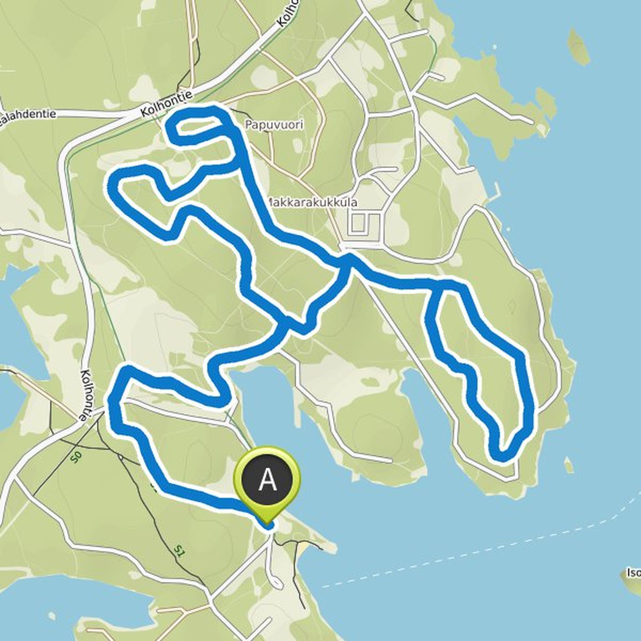
Keuruu planned a mountain bike ride
July 15, 2025
Time
Distance
Speed
Ascent
Descent
Keuruu planned a bike ride
July 10, 2023
Time
Distance
Speed
Ascent
Descent
July 11, 2023
The Herpmani poikie route starting from the old church in Keuruu is a 72 km long route that initially heads towards the Hermani poikie memorial chapel in Ampiala. Herpman's sons performed their feat during the Great Anger (1712-1721). Their battles gave birth to heroic poem-like narratives, which old
Translated by Google •
Keuruu planned a gravel ride
July 10, 2023
Time
Distance
Speed
Ascent
Descent
July 11, 2023
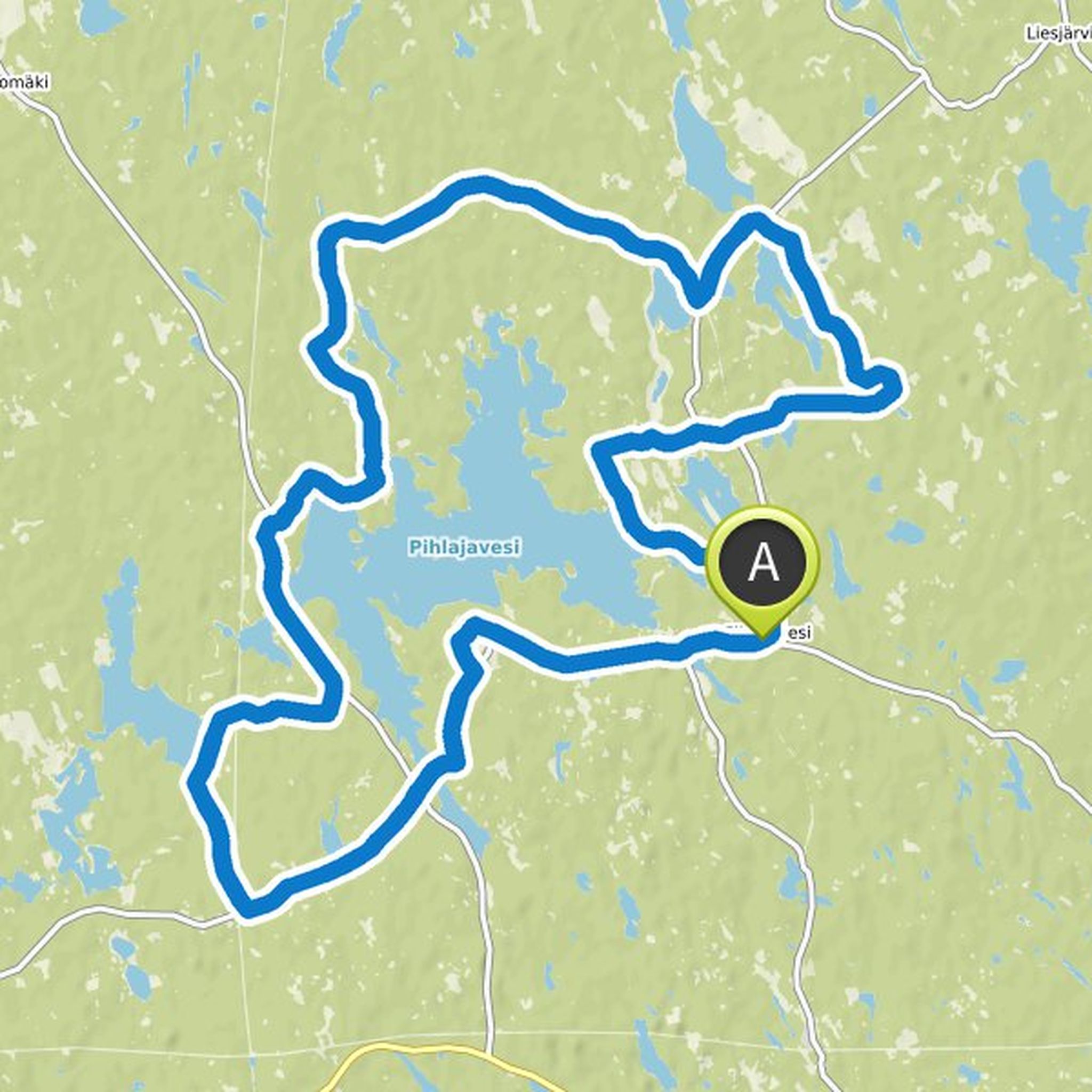
A piece of the beautiful Central Finland route is 55 kilometers long and offers comfortably varying sand and gravel roads with wonderful scenery. You can also shorten your route and this is easily done, for example, in the direction of Kalettoma, where you can go directly to the center of Keuruu or return
Translated by Google •
Keuruu planned a gravel ride
July 10, 2023
Time
Distance
Speed
Ascent
Descent
Keuruu planned a mountain bike ride
November 16, 2021
Time
Distance
Speed
Ascent
Descent
Juha Koskimäki likes this.
November 16, 2021
The Gallén tour is designed to be recycled on foot or by bike as seen through Gallén-Kallela, but some of the destinations along the route are also accessible by car.
Due to the length of the trip, it is recommended to reserve enough warm clothing, water and snacks and to prepare for an overnight stay
Translated by Google •
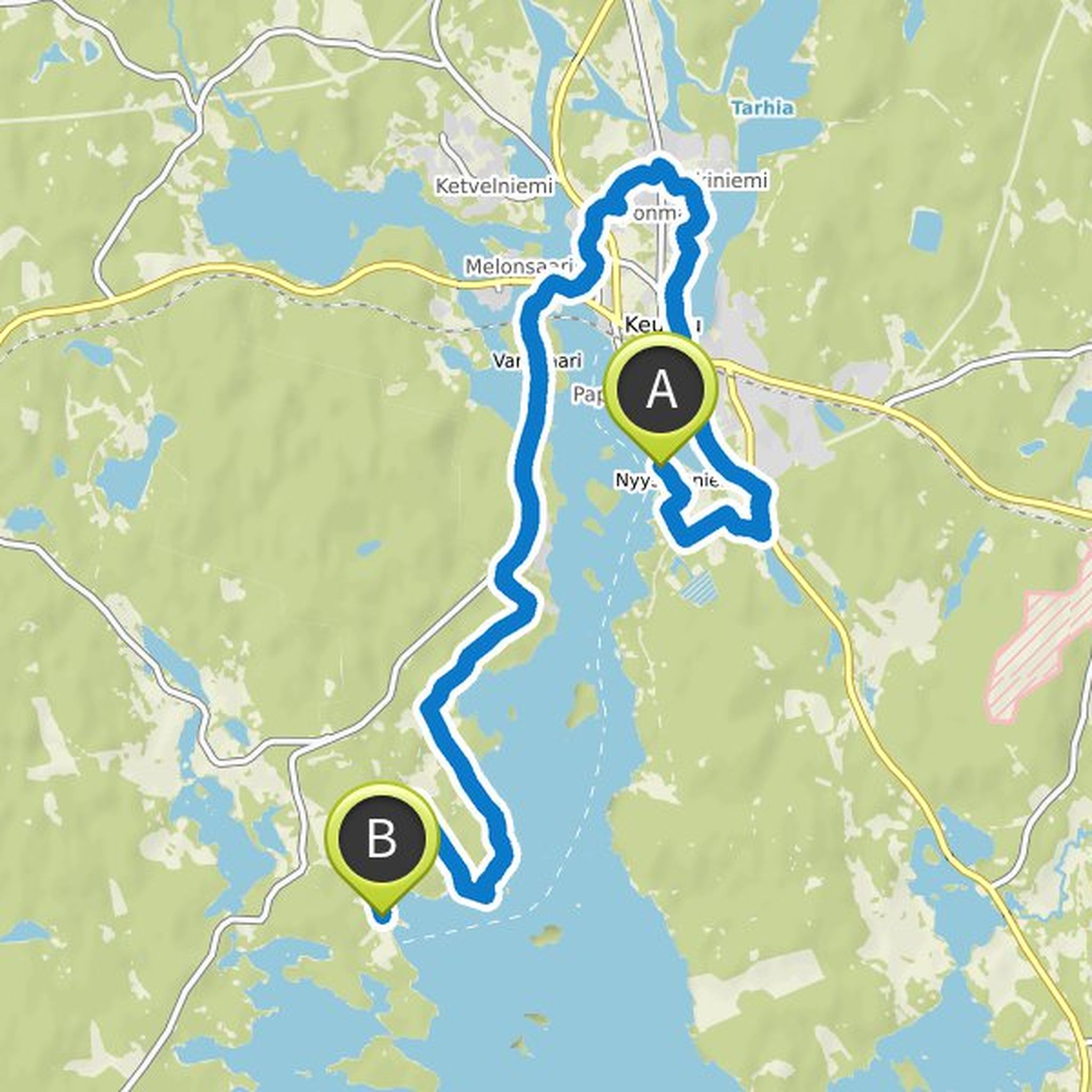
Keuruu planned a mountain bike ride
November 2, 2021
Time
Distance
Speed
Ascent
Descent
November 2, 2021
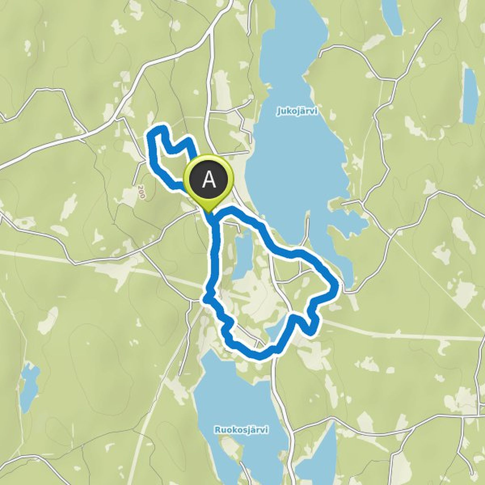
Lieroinen's link is named after the witch who lived in the Pihlainen area in 1634 after Antti Lieroinen. The route passes over Papinpuro to the witch's home on the shore of Valkeinen, where the water of the lake is still remarkably clear, does magic play a part in that? From White, the journey continues
Translated by Google •
Keuruu planned a mountain bike ride
November 2, 2021
Time
Distance
Speed
Ascent
Descent
November 2, 2021
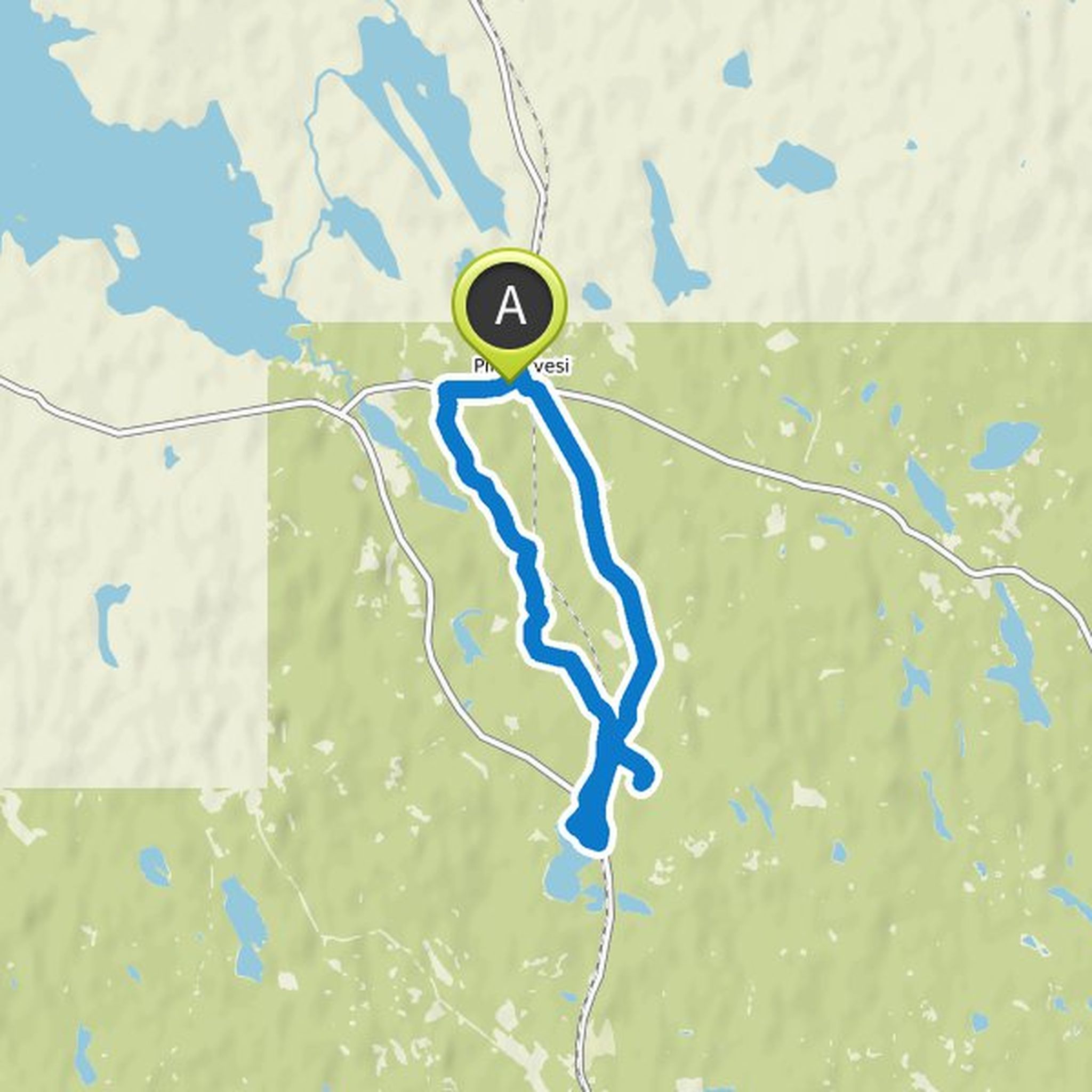
The name of the branch route derives from the marsh and raven area, whose fauna includes e.g. bear and wolf. Along the route you can see traces of these large carnivores as well as many others. The route is intended for hikers who enjoy nature and silence. Passing through a rural landscape, the route
Translated by Google •
Keuruu planned a mountain bike ride
November 2, 2021
Time
Distance
Speed
Ascent
Descent
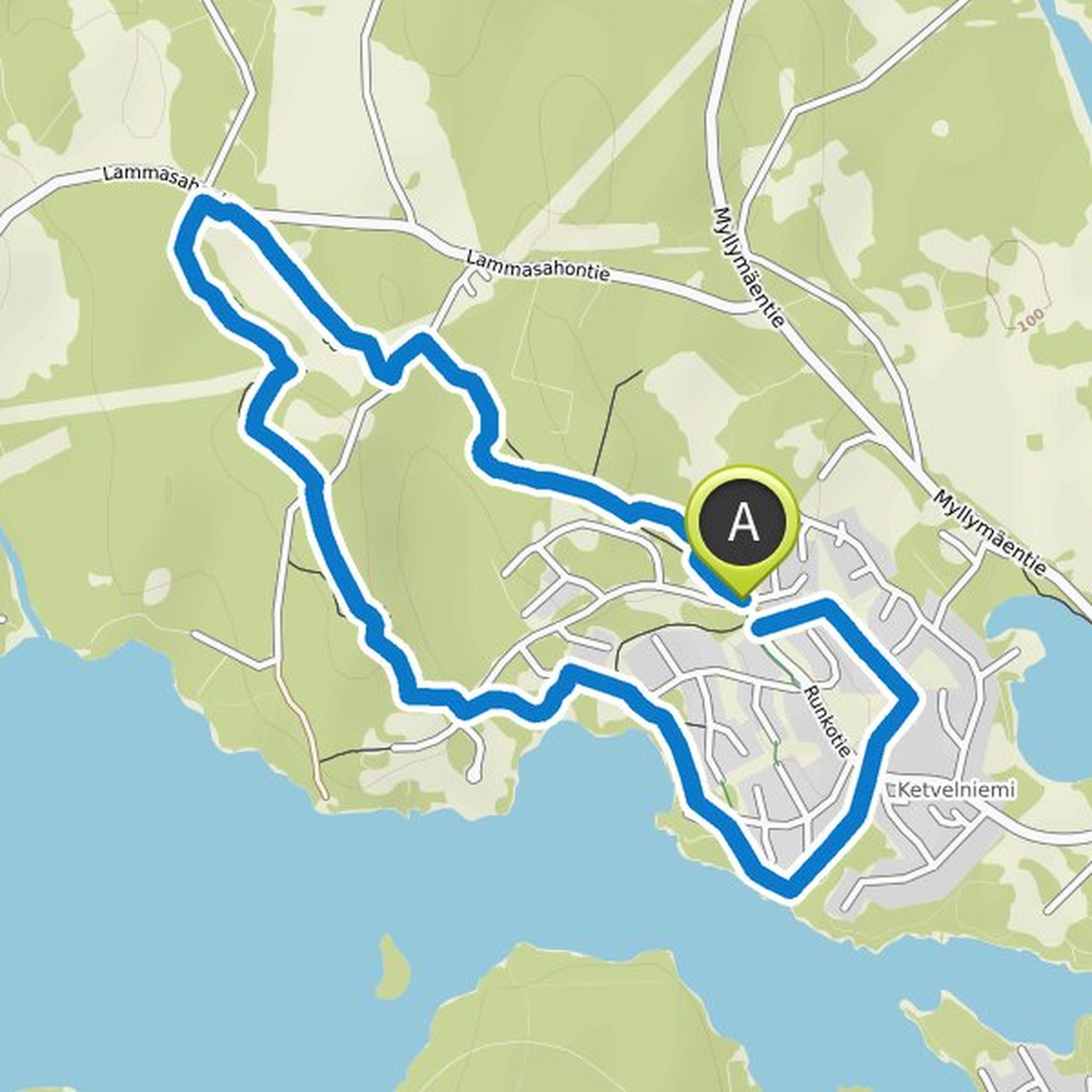
Keuruu planned a mountain bike ride
September 20, 2021
Time
Distance
Speed
Ascent
Descent
Timo likes this.
September 20, 2021
The main route connects two significant tourist areas in Keuruu, Camping Nyyssänniemi and Hotelli Keurusselä. There is a lot to see and do along it. The route does not go right through the city center, but a small deviation from the route takes you to several services. The route runs variably from asphalt
Translated by Google •
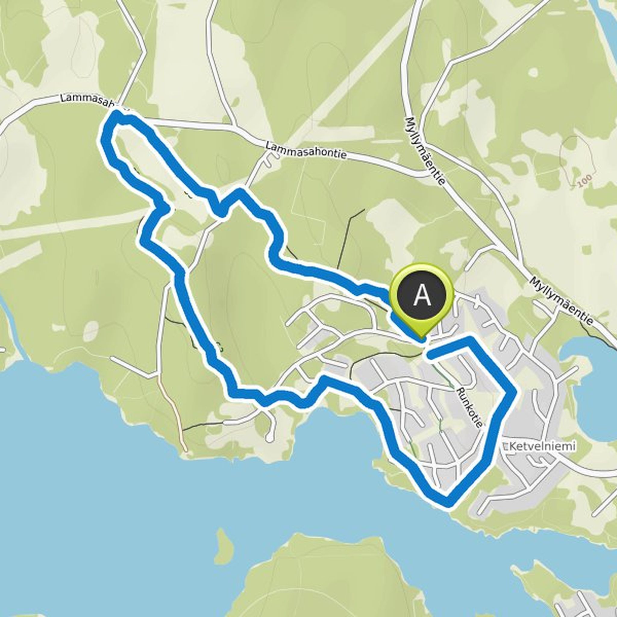
Keuruu planned a mountain bike ride
September 20, 2021
Time
Distance
Speed
Ascent
Descent
September 20, 2021
In the largest residential area of Keuruu, there is a 2.3 km illuminated fitness track with a stone ash surface, which is the rest of the route to the south. The initial nature trail, technically challenging, is as far as Ranta-Keuruu. The nature trail goes around an atmospheric deep salt pond, Hartunlampi
Translated by Google •
Keuruu planned a mountain bike ride
September 20, 2021
Time
Distance
Speed
Ascent
Descent
July 15, 2025
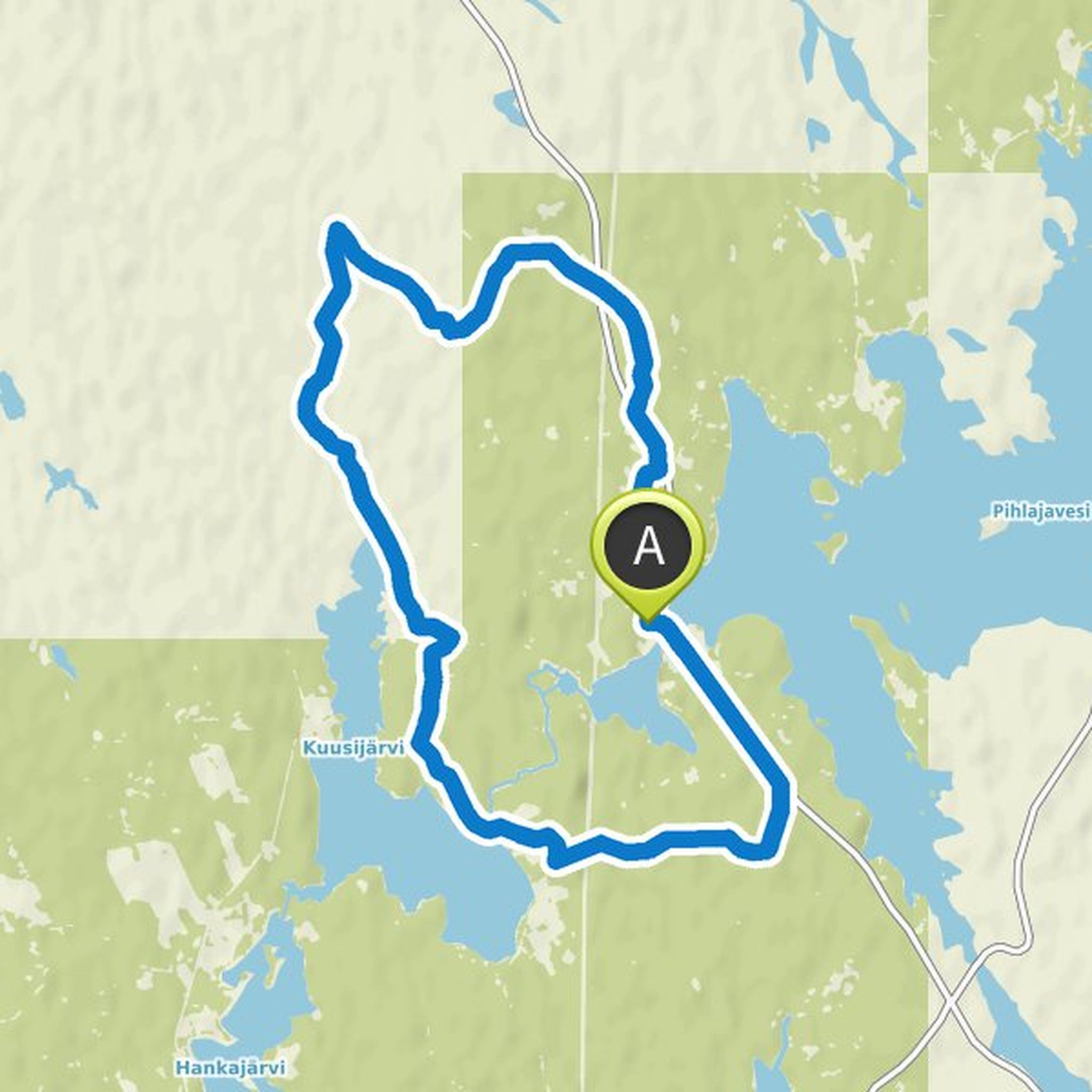
From the Pohjoislahti school yard to Lintusyrjänharju. The route is flat, sandy terrain. The entire area is dry sandy terrain, so it is also good to walk in rainy weather.
There are many other paths and a fine, well-traveled sandy ridge in the Lintusyrjän area. The paths are visible on the map.
Route markings
Translated by Google •